Hill of Creagdearg
Hill, Mountain in Aberdeenshire
Scotland
Hill of Creagdearg
The Hill of Creagdearg is a prominent feature located in Aberdeenshire, Scotland. Rising to a height of approximately 702 meters (2,303 feet), it is classified as a hill but is often referred to as a mountain due to its rugged and imposing appearance. Situated in the eastern Cairngorms, it is part of the larger Grampian Mountains range.
The hill is characterized by its distinctive shape, with steep slopes and a narrow ridge that runs along its length. Its summit offers breathtaking panoramic views of the surrounding landscape, including the nearby Lochnagar and the picturesque Loch Muick. The hill is known for its dramatic cliffs and crags, which attract rock climbers and hikers seeking a challenging adventure.
The area surrounding the Hill of Creagdearg is rich in biodiversity and is home to a variety of plant and animal species. The hill is covered in heather and grasses, providing a habitat for numerous bird species, such as the golden eagle and red grouse.
The Hill of Creagdearg is a popular destination for outdoor enthusiasts and nature lovers, offering opportunities for hiking, mountaineering, and wildlife observation. Access to the hill is typically gained from the nearby Glenmuick estate, where visitors can find parking and follow well-marked trails.
Overall, the Hill of Creagdearg is a stunning natural landmark that embodies the beauty and ruggedness of the Scottish Highlands. Its towering presence and breathtaking views make it a must-visit destination for those seeking an authentic Scottish mountain experience.
If you have any feedback on the listing, please let us know in the comments section below.
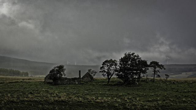
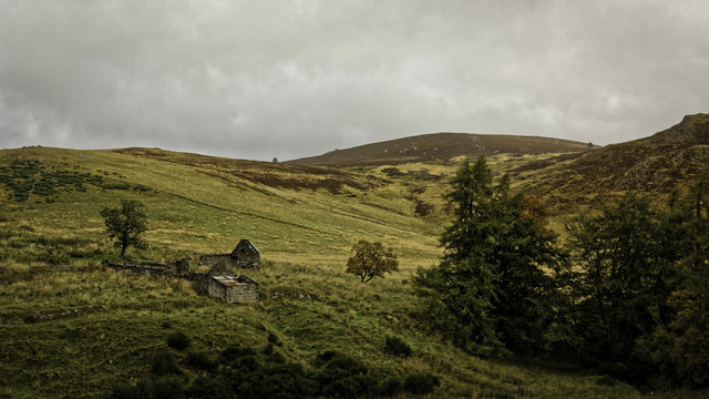
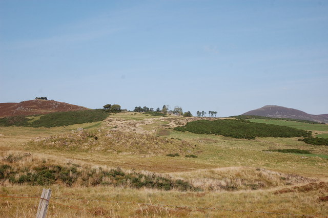
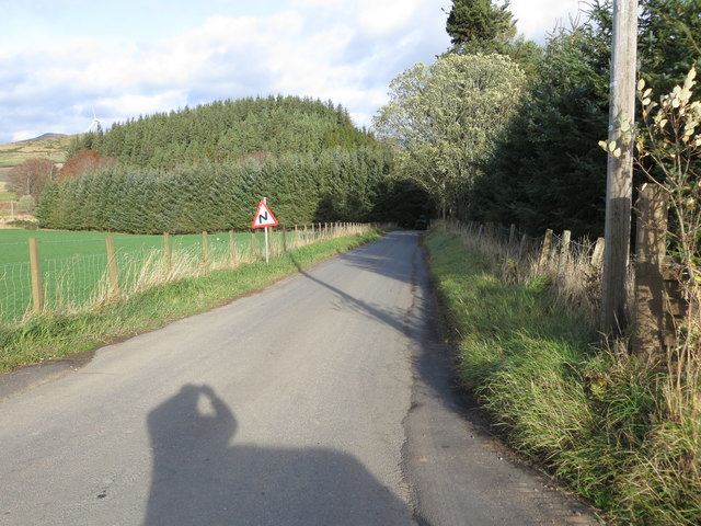
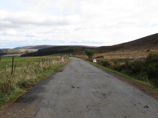
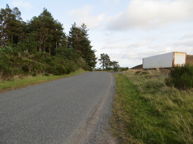
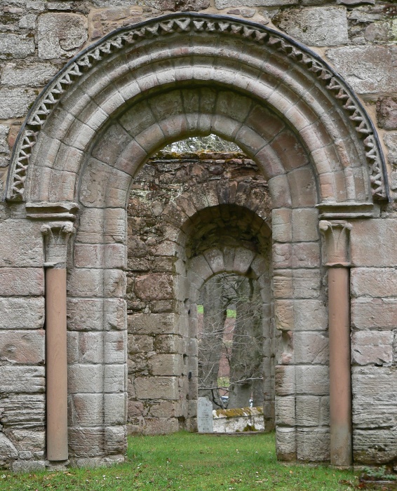
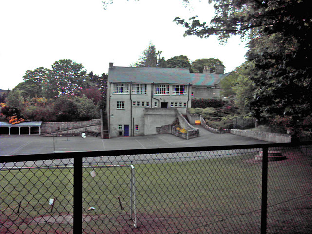
Hill of Creagdearg Images
Images are sourced within 2km of 57.320881/-2.9122327 or Grid Reference NJ4525. Thanks to Geograph Open Source API. All images are credited.


Hill of Creagdearg is located at Grid Ref: NJ4525 (Lat: 57.320881, Lng: -2.9122327)
Unitary Authority: Aberdeenshire
Police Authority: North East
What 3 Words
///atlas.carriage.nipping. Near Huntly, Aberdeenshire
Nearby Locations
Related Wikis

Clashindarroch Forest
Clashindarroch Forest is possibly the largest forest in Aberdeenshire, situated to the south-west of the market town of Huntly. Managed by Forest Enterprise...

Lesmoir Castle
Lesmoir Castle was a 16th-century castle, about 2.0 miles (3.2 km) west of Rhynie, Aberdeenshire, Scotland, south-west of Tap o' Noth, at Mains of Lesmoir...
St Mary's Kirk, Auchindoir
St Mary's Kirk at Auchindoir, between Rhynie and Lumsden, in Aberdeenshire, Scotland, is one of the country's finest surviving medieval parish kirks. The...
Lumsden, Aberdeenshire
Lumsden is an inland village in Aberdeenshire, Scotland on the A97 road. == Location == It crowns a rising-ground 227 m (745 ft) above sea level amid a...
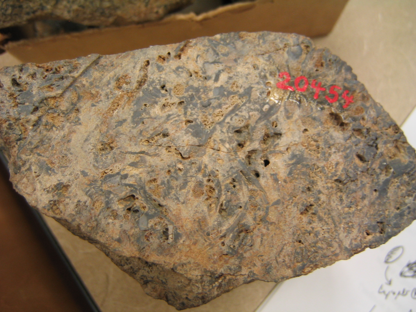
Rhynie chert
The Rhynie chert is a Lower Devonian sedimentary deposit exhibiting extraordinary fossil detail or completeness (a Lagerstätte). It is exposed near the...

Tap o' Noth
The Tap o' Noth is a hill and fort, 8 miles south of Huntly in Aberdeenshire, Scotland at grid reference NJ485293. It is the second highest fort in Scotland...
Clova Monastery
Clova Monastery (also called Cloveth) was a medieval Culdee monastery in Kildrummy, Aberdeenshire, Scotland. == Founding == Clova was founded in the late...

Wormy Hillock Henge
Wormy Hillock Henge, also known as The Dragon's Grave, is a small henge in Aberdeenshire, Scotland. It is a Scheduled Ancient Monument located in the Clashindarroch...
Have you been to Hill of Creagdearg?
Leave your review of Hill of Creagdearg below (or comments, questions and feedback).