Addie Hill

Hill, Mountain in Banffshire

Scotland

Addie Hill

Forgotten Logs It's a frosty morning, and hoar frost glistens on the shaded sides of these logs, felled but never collected to be taken to the sawmill.
Forgotten Logs Credit: Anne Burgess

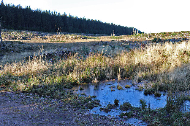
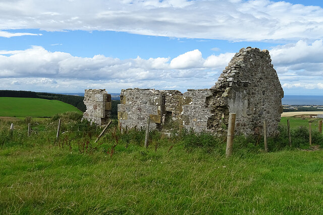
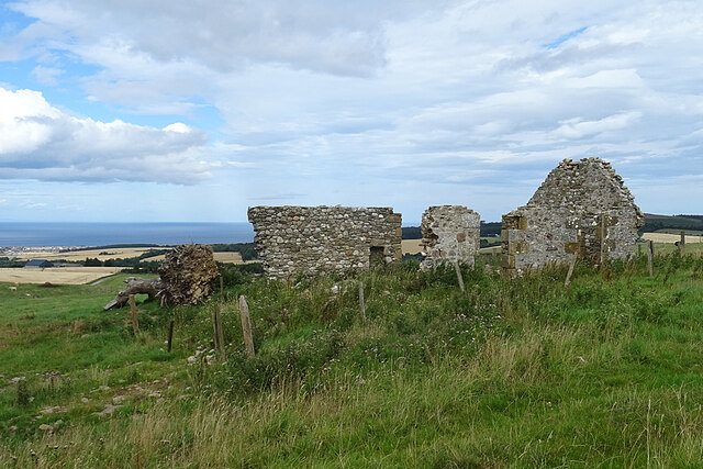
Addie Hill is a prominent hill/mountain located in the region of Banffshire, Scotland. It stands at an elevation of approximately 499 meters (1,637 feet) and is a well-known landmark in the area. Addie Hill is situated near the village of Deskford, offering stunning panoramic views of the surrounding countryside.

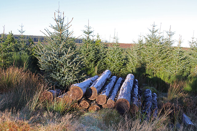
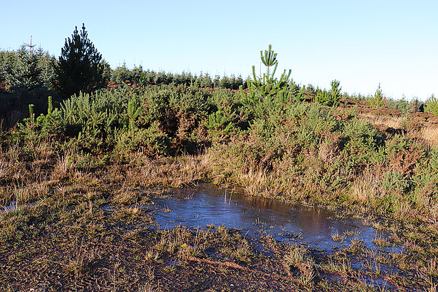
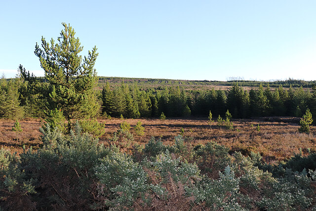
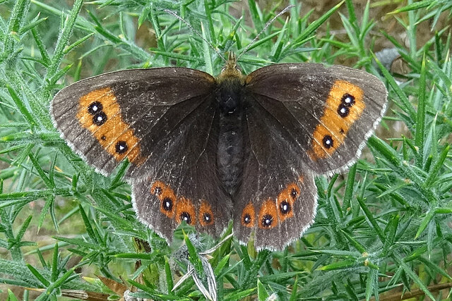
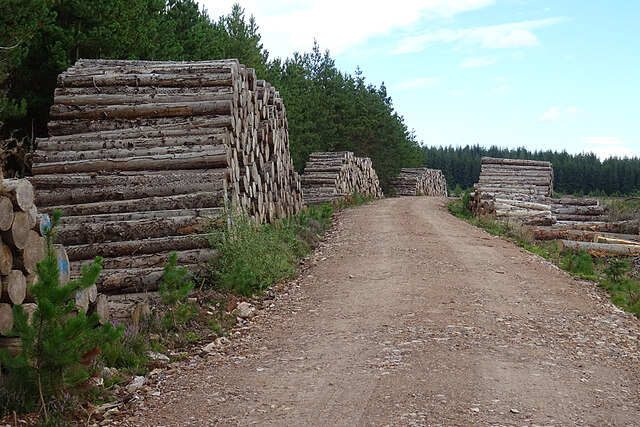
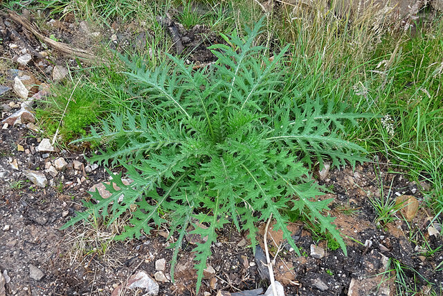
The hill is composed of various types of rocks, including granite and schist, which contribute to its rugged and distinctive appearance. Its slopes are covered in a mix of grasses, heather, and scattered trees, providing a habitat for a variety of wildlife species.

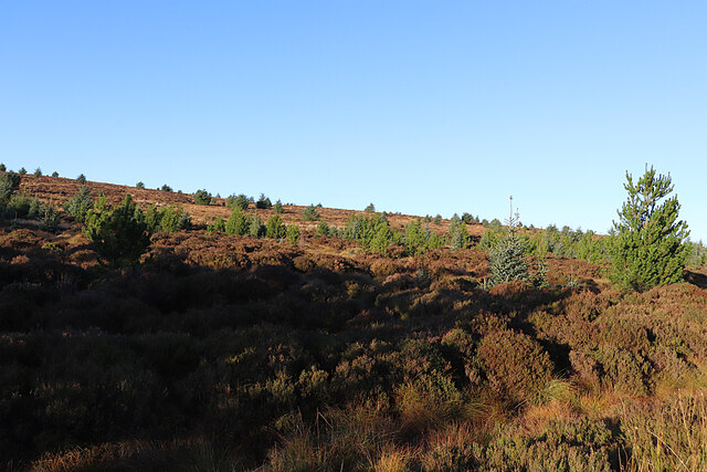
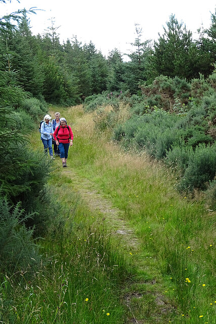
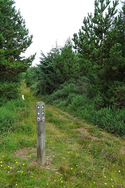
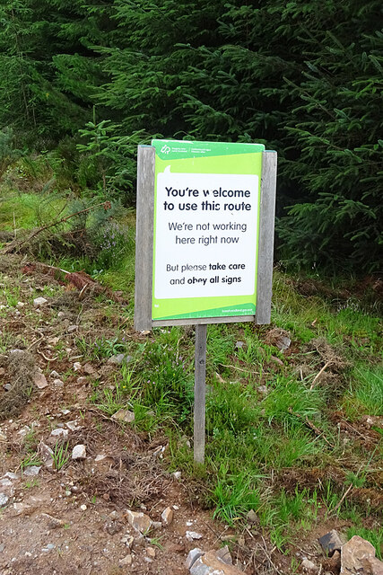
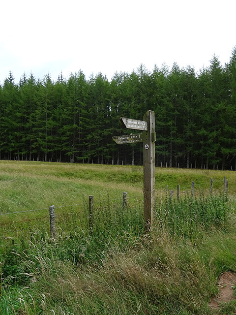
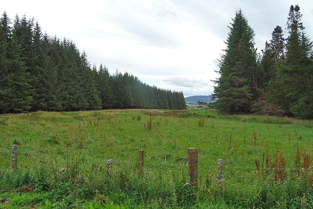
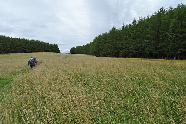
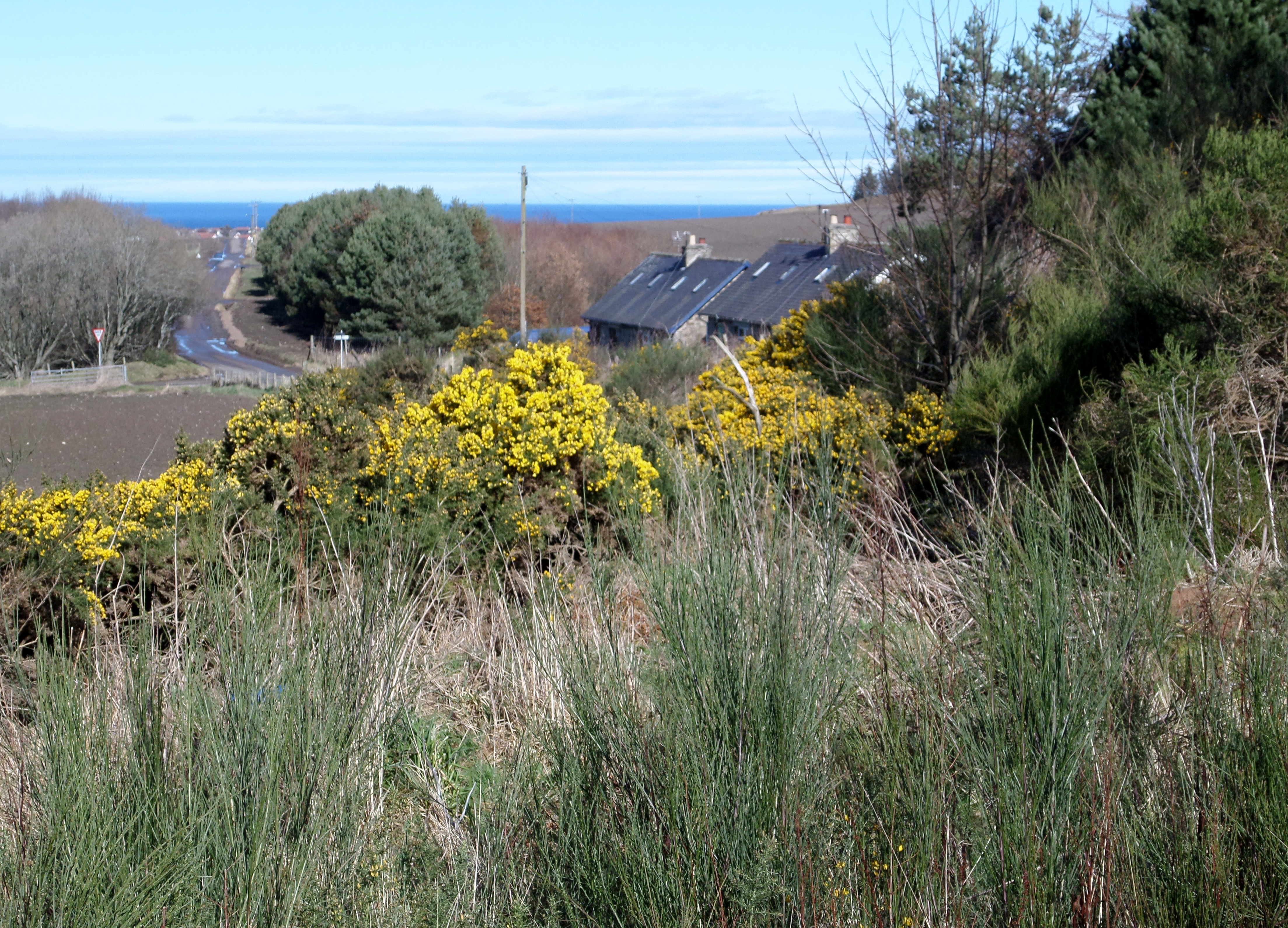
Addie Hill offers a range of outdoor activities for visitors and locals alike. Hiking enthusiasts can explore the well-marked trails that lead to the summit, which offer breathtaking vistas of the nearby coasts and rolling hills. The ascent is of moderate difficulty, making it accessible to a wide range of skill levels.

At the summit, a trig point marks the highest point of Addie Hill, providing a sense of accomplishment for those who reach it. On clear days, the views extend as far as the distant Cairngorm Mountains to the southeast and the Moray Firth to the north.

The hill is also popular among photographers, who are drawn to the stunning natural beauty and the ever-changing light conditions that create captivating landscapes throughout the year.

Overall, Addie Hill is a picturesque and accessible hill/mountain that offers nature lovers and outdoor enthusiasts a chance to explore the breathtaking scenery of Banffshire.

If you have any feedback on the listing, please let us know in the comments section below.

Addie Hill Images

Images are sourced within 2km of 57.621292/-2.925795 or Grid Reference NJ4459. Thanks to Geograph Open Source API. All images are credited.

Forgotten Logs It's a frosty morning, and hoar frost glistens on the shaded sides of these logs, felled but never collected to be taken to the sawmill.
Forgotten Logs
It's a frosty morning, and hoar frost glistens on the shaded sides of these logs, felled but never collected to be taken to the sawmill.
Icy Puddle The frost has never lifted today, and this puddle still has a covering of ice in early afternoon. It marks the spot where the newish forest road meets the line of the old one, the latter now looking pretty well impassable to the north.
Icy Puddle
The frost has never lifted today, and this puddle still has a covering of ice in early afternoon. It marks the spot where the newish forest road meets the line of the old one, the latter now looking pretty well impassable to the north.
Black Hill Black Hill rises very gently to 255 metres above sea level, and is covered with heather moor punctuated by non-native conifers.
Black Hill
Black Hill rises very gently to 255 metres above sea level, and is covered with heather moor punctuated by non-native conifers.
Open Ground in Aultmore Forest It looks as if this area has been left unplanted, and this is confirmed by the satellite view.
Open Ground in Aultmore Forest
It looks as if this area has been left unplanted, and this is confirmed by the satellite view.
White Stripe A stripe is another name for a burn, and the White Stripe drains the hollow here, though it's pretty much hidden by the vegetation. The puddle in the foreground is still covered in ice, although it's early afternoon.
White Stripe
A stripe is another name for a burn, and the White Stripe drains the hollow here, though it's pretty much hidden by the vegetation. The puddle in the foreground is still covered in ice, although it's early afternoon.
Scotch Argus (Erebia aethiops) This species is almost confined to northern and western Scotland. It flies only in late July and most of August, but it is very plentiful this year.
Scotch Argus (Erebia aethiops)
This species is almost confined to northern and western Scotland. It flies only in late July and most of August, but it is very plentiful this year.
Fishwives' Path The waymarked route of the Fishwives' Path deviates from the route used by the fishwives who used to carry fish from Buckie to sell in Keith. Instead of going straight past Drodland it diverts to the west, passing the former smithy at Fernking and the following this path, which was originally the only access to the smithy. Since we last walked it (see <a title="http://www.geograph.org.uk/geotrips/1702)" href="http://www.geograph.org.uk/geotrips/1702)">Link</a> it has been diverted again, now using a forest road instead of the continuation of this path.
Fishwives' Path
The waymarked route of the Fishwives' Path deviates from the route used by the fishwives who used to carry fish from Buckie to sell in Keith. Instead of going straight past Drodland it diverts to the west, passing the former smithy at Fernking and the following this path, which was originally the only access to the smithy. Since we last walked it (see Link it has been diverted again, now using a forest road instead of the continuation of this path.
Not the Fishwives' Path The last time we walked the Fishwives' Path, the waymarkers directed us along this path. They now direct us along the forestry road to the right. It may be that this path is blocked further up by fallen trees. We did not go to investigate.
Not the Fishwives' Path
The last time we walked the Fishwives' Path, the waymarkers directed us along this path. They now direct us along the forestry road to the right. It may be that this path is blocked further up by fallen trees. We did not go to investigate.
A Welcoming Sign This is the helpful sign that greeted us as we joined the forestry road that is now part of the Fishwives' Path.
A Welcoming Sign
This is the helpful sign that greeted us as we joined the forestry road that is now part of the Fishwives' Path.
Log Piles Stacks of tree trunks beside the forestry road await transport to a sawmill.
Log Piles
Stacks of tree trunks beside the forestry road await transport to a sawmill.
Clear Felled Forest There's nothing quite so untidy as the devastation left when the forest harvesters move out, but it won't be long before regeneration hides the worst of it. The distant hill is Knock Hill.
Clear Felled Forest
There's nothing quite so untidy as the devastation left when the forest harvesters move out, but it won't be long before regeneration hides the worst of it. The distant hill is Knock Hill.
Forest Operations A tree harvesting machine is parked beyond the stacks of logs awaiting removal to be processed.
Forest Operations
A tree harvesting machine is parked beyond the stacks of logs awaiting removal to be processed.
Marsh Thistle (Cirsium palustre) A fine unblemished specimen of the species, which will flower next summer.
Marsh Thistle (Cirsium palustre)
A fine unblemished specimen of the species, which will flower next summer.
Waymarker At this point the Fishwives' Path rejoins the route originally used by the fishwives on their way to and from Keith.
Waymarker
At this point the Fishwives' Path rejoins the route originally used by the fishwives on their way to and from Keith.
Fishwives' Path The Buckie fishwives walked straight down here on their way to and from Keith, but the waymarked route is diverted wet on forest roads and tracks.
Fishwives' Path
The Buckie fishwives walked straight down here on their way to and from Keith, but the waymarked route is diverted wet on forest roads and tracks.
Addie Hill The Fishwives' Path follows the gap in the forest to the summit of Addie Hill. I looked in vain, again, for the remains of the King's Cairn to the right of the path.
Addie Hill
The Fishwives' Path follows the gap in the forest to the summit of Addie Hill. I looked in vain, again, for the remains of the King's Cairn to the right of the path.
Inkerman This is the identical view to <a href="https://www.geograph.org.uk/photo/6634980">NJ4459 : Inkerman</a>. In the two intervening years the tree and both chimneys have gone.
Inkerman
This is the identical view to NJ4459 : Inkerman. In the two intervening years the tree and both chimneys have gone.
Inkerman Another view of the ruined 'Crimean Croft'. Compare with <a href="https://www.geograph.org.uk/photo/6634980">NJ4459 : Inkerman</a>. The tree that grew by the east gable appears to be lying, uprooted, by the west gable.
Inkerman
Another view of the ruined 'Crimean Croft'. Compare with NJ4459 : Inkerman. The tree that grew by the east gable appears to be lying, uprooted, by the west gable.
Show me another place!

Addie Hill is located at Grid Ref: NJ4459 (Lat: 57.621292, Lng: -2.925795)

Unitary Authority: Moray

Police Authority: North East

What 3 Words

///develop.waistcoat.circular. Near Buckie, Moray

Nearby Locations

Addie Hill Addie Moss

Related Wikis

Foudland Hills

The Foudland Hills is a mountain range in the northeast of Aberdeenshire, Scotland and northwest of Morayshire. The Foudland Hills are a prominent feature...

Craigmin Bridge

Craigmin Bridge is an eighteenth century bridge within the grounds of Letterfourie House, in Moray, Scotland. Spanning the Burn of Letterfourie, it once...

Letterfourie House

Letterfourie House is a Georgian house in Moray, built by Robert Adam and completed in 1773. Its main block has three main storeys, with a raised cellar...

Battle of Bauds

Battle of Bauds was a battle fought in 962 in an area known as the Bauds, south of Findochty and west of Cullen near Portknockie, Scotland between Scotland...

Drybridge Platform railway station

Drybridge Platform railway station or Drybridge railway station was a station which served the hamlet of that name in the parish of Rathven and in addition...

Enzie railway station

Enzie railway station was a station which served the hamlet of Enzie, in the Scottish county of Moray. It was served by trains on the Buckie and Portessie...

St Gregory's Church, Preshome

St. Gregory's Church is a Roman Catholic church at Preshome near Buckie in north-east Scotland. It is protected as a category A listed building.Built...

Inchgower distillery

Inchgower distillery is a whisky distillery producing a single malt of the same name located on the outskirts of Buckie, Moray, Scotland. == History... ==

Nearby Amenities

Located within 500m of 57.621292,-2.925795
Addie Hill
Ele: 272
Natural: peak
Lat/Long: 57.621602/-2.9247164
The data included in this document is from www.openstreetmap.org. The data is made available under ODbL.

Have you been to Addie Hill?

Leave your review of Addie Hill below (or comments, questions and feedback).