Addie Moss

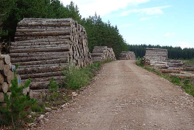
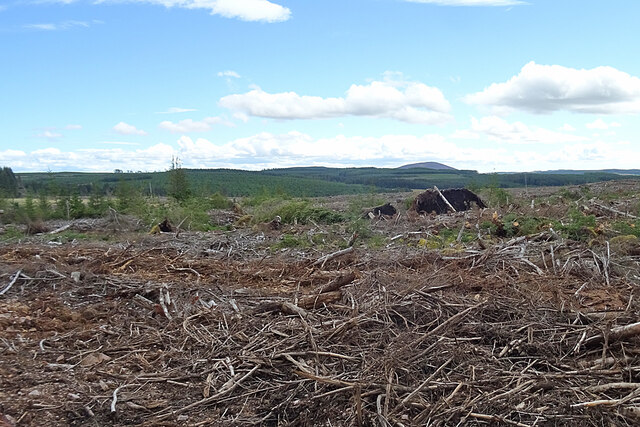
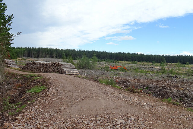
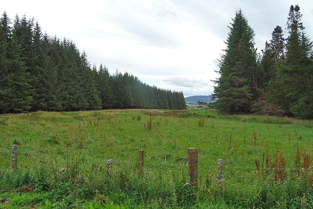
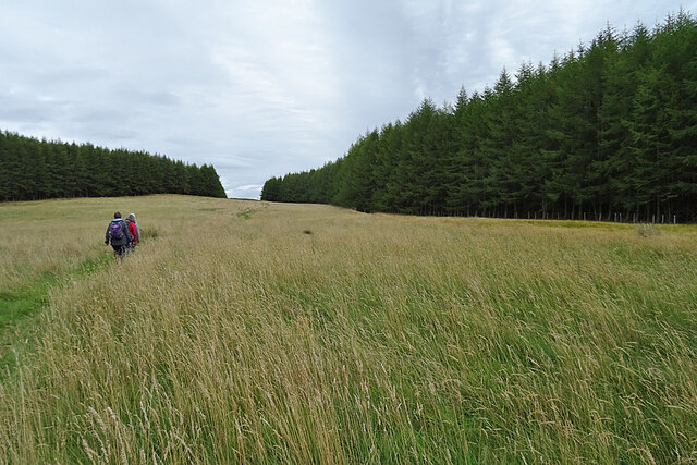
Wood, Forest in Banffshire

Scotland

Addie Moss

Black Hill Black Hill rises very gently to 255 metres above sea level, and is covered with heather moor punctuated by non-native conifers.
Black Hill Credit: Anne Burgess

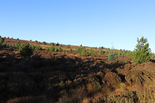
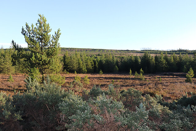
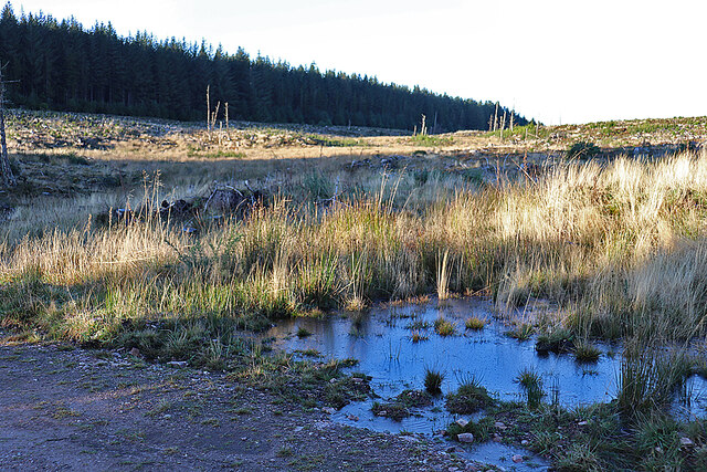
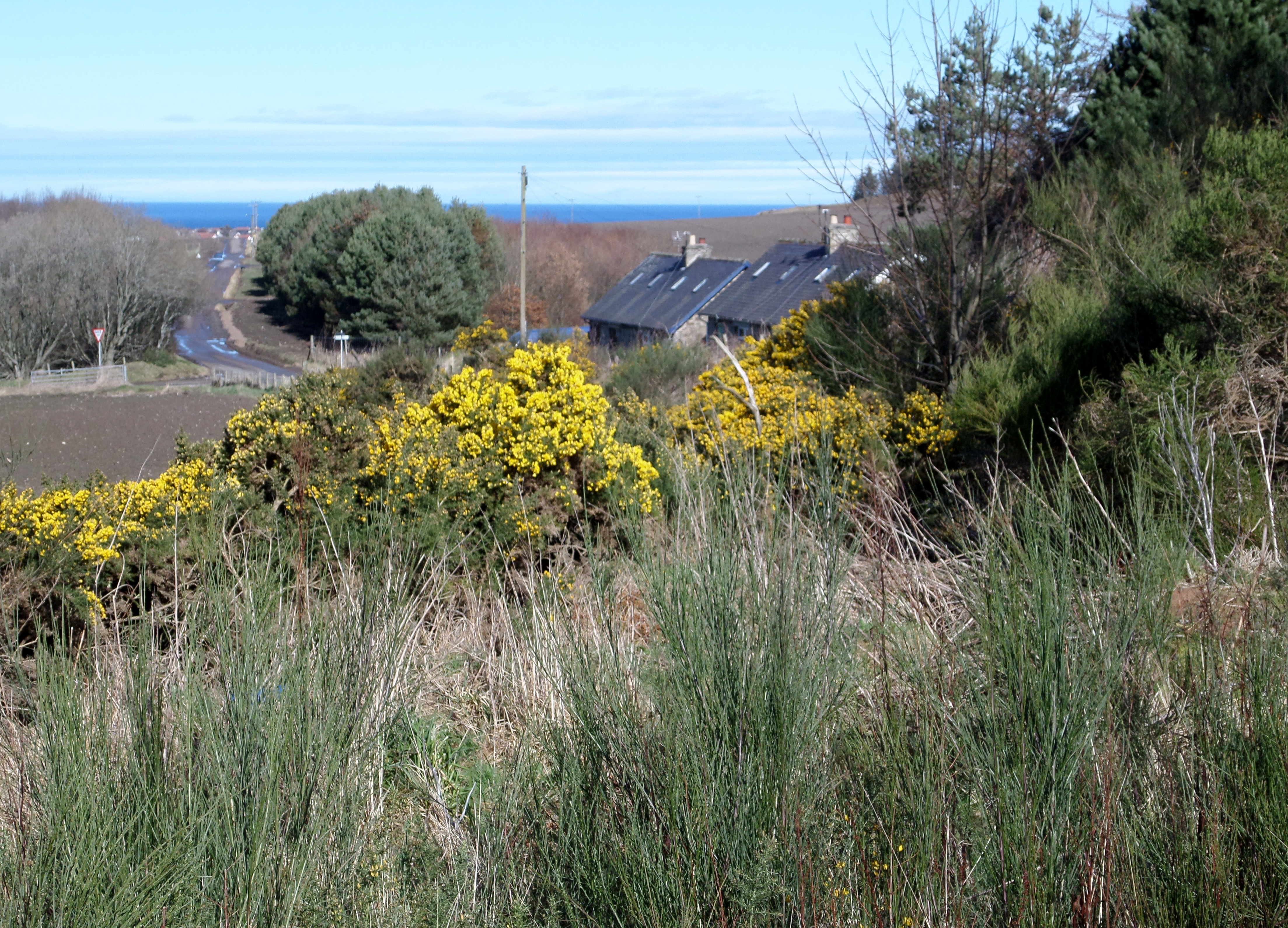
Addie Moss is a small village located in the Banffshire region of Scotland. Nestled amidst the picturesque woodlands and forests, it offers a tranquil and scenic setting for residents and visitors alike. The village is situated near the southern edge of the Cairngorms National Park, renowned for its stunning landscapes and rich biodiversity.

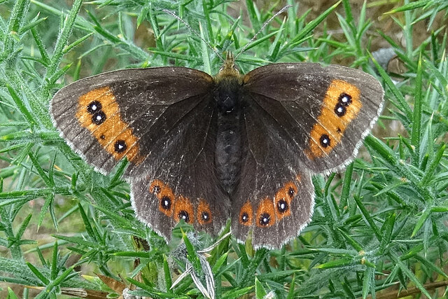
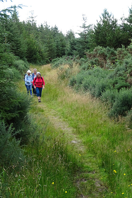
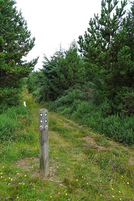
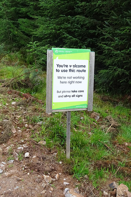
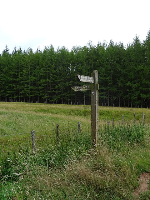
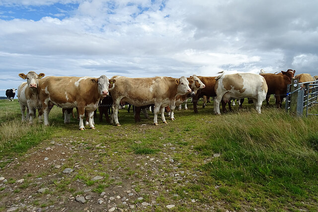
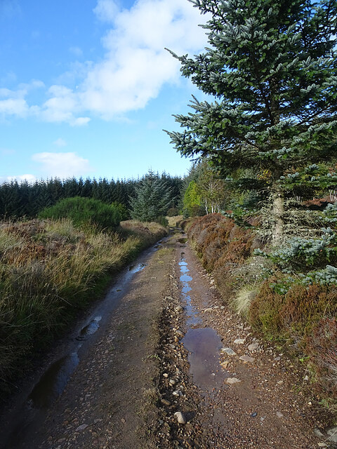
The surrounding woodlands and forests provide a haven for nature enthusiasts and outdoor adventurers. Addie Moss is particularly popular for its walking and hiking trails, offering stunning views of the surrounding countryside and opportunities to spot wildlife such as red deer, otters, and various bird species.

Despite its small size, Addie Moss boasts a close-knit community and a warm and welcoming atmosphere. The village is home to a few local amenities, including a small shop and a charming village pub where residents and visitors can socialize and enjoy traditional Scottish cuisine.

The village's proximity to larger towns and cities, such as Keith and Banff, ensures that residents have access to a wider range of services and amenities. Additionally, the nearby Speyside region is renowned for its whisky production, with several famous distilleries located within a short drive from Addie Moss.

Overall, Addie Moss offers a peaceful and idyllic setting for those seeking a slower pace of life and a deep connection with nature. Its natural beauty, friendly community, and convenient location make it an attractive place to visit or call home.

If you have any feedback on the listing, please let us know in the comments section below.

Addie Moss Images

Images are sourced within 2km of 57.619692/-2.9295378 or Grid Reference NJ4459. Thanks to Geograph Open Source API. All images are credited.

Black Hill Black Hill rises very gently to 255 metres above sea level, and is covered with heather moor punctuated by non-native conifers.
Black Hill
Black Hill rises very gently to 255 metres above sea level, and is covered with heather moor punctuated by non-native conifers.
Open Ground in Aultmore Forest It looks as if this area has been left unplanted, and this is confirmed by the satellite view.
Open Ground in Aultmore Forest
It looks as if this area has been left unplanted, and this is confirmed by the satellite view.
White Stripe A stripe is another name for a burn, and the White Stripe drains the hollow here, though it's pretty much hidden by the vegetation. The puddle in the foreground is still covered in ice, although it's early afternoon.
White Stripe
A stripe is another name for a burn, and the White Stripe drains the hollow here, though it's pretty much hidden by the vegetation. The puddle in the foreground is still covered in ice, although it's early afternoon.
Scotch Argus (Erebia aethiops) This species is almost confined to northern and western Scotland. It flies only in late July and most of August, but it is very plentiful this year.
Scotch Argus (Erebia aethiops)
This species is almost confined to northern and western Scotland. It flies only in late July and most of August, but it is very plentiful this year.
Fishwives' Path The waymarked route of the Fishwives' Path deviates from the route used by the fishwives who used to carry fish from Buckie to sell in Keith. Instead of going straight past Drodland it diverts to the west, passing the former smithy at Fernking and the following this path, which was originally the only access to the smithy. Since we last walked it (see <a title="http://www.geograph.org.uk/geotrips/1702)" href="http://www.geograph.org.uk/geotrips/1702)">Link</a> it has been diverted again, now using a forest road instead of the continuation of this path.
Fishwives' Path
The waymarked route of the Fishwives' Path deviates from the route used by the fishwives who used to carry fish from Buckie to sell in Keith. Instead of going straight past Drodland it diverts to the west, passing the former smithy at Fernking and the following this path, which was originally the only access to the smithy. Since we last walked it (see Link it has been diverted again, now using a forest road instead of the continuation of this path.
Not the Fishwives' Path The last time we walked the Fishwives' Path, the waymarkers directed us along this path. They now direct us along the forestry road to the right. It may be that this path is blocked further up by fallen trees. We did not go to investigate.
Not the Fishwives' Path
The last time we walked the Fishwives' Path, the waymarkers directed us along this path. They now direct us along the forestry road to the right. It may be that this path is blocked further up by fallen trees. We did not go to investigate.
A Welcoming Sign This is the helpful sign that greeted us as we joined the forestry road that is now part of the Fishwives' Path.
A Welcoming Sign
This is the helpful sign that greeted us as we joined the forestry road that is now part of the Fishwives' Path.
Log Piles Stacks of tree trunks beside the forestry road await transport to a sawmill.
Log Piles
Stacks of tree trunks beside the forestry road await transport to a sawmill.
Clear Felled Forest There's nothing quite so untidy as the devastation left when the forest harvesters move out, but it won't be long before regeneration hides the worst of it. The distant hill is Knock Hill.
Clear Felled Forest
There's nothing quite so untidy as the devastation left when the forest harvesters move out, but it won't be long before regeneration hides the worst of it. The distant hill is Knock Hill.
Forest Operations A tree harvesting machine is parked beyond the stacks of logs awaiting removal to be processed.
Forest Operations
A tree harvesting machine is parked beyond the stacks of logs awaiting removal to be processed.
Marsh Thistle (Cirsium palustre) A fine unblemished specimen of the species, which will flower next summer.
Marsh Thistle (Cirsium palustre)
A fine unblemished specimen of the species, which will flower next summer.
Waymarker At this point the Fishwives' Path rejoins the route originally used by the fishwives on their way to and from Keith.
Waymarker
At this point the Fishwives' Path rejoins the route originally used by the fishwives on their way to and from Keith.
Fishwives' Path The Buckie fishwives walked straight down here on their way to and from Keith, but the waymarked route is diverted wet on forest roads and tracks.
Fishwives' Path
The Buckie fishwives walked straight down here on their way to and from Keith, but the waymarked route is diverted wet on forest roads and tracks.
Addie Hill The Fishwives' Path follows the gap in the forest to the summit of Addie Hill. I looked in vain, again, for the remains of the King's Cairn to the right of the path.
Addie Hill
The Fishwives' Path follows the gap in the forest to the summit of Addie Hill. I looked in vain, again, for the remains of the King's Cairn to the right of the path.
Inkerman This is the identical view to <a href="https://www.geograph.org.uk/photo/6634980">NJ4459 : Inkerman</a>. In the two intervening years the tree and both chimneys have gone.
Inkerman
This is the identical view to NJ4459 : Inkerman. In the two intervening years the tree and both chimneys have gone.
Inkerman Another view of the ruined 'Crimean Croft'. Compare with <a href="https://www.geograph.org.uk/photo/6634980">NJ4459 : Inkerman</a>. The tree that grew by the east gable appears to be lying, uprooted, by the west gable.
Inkerman
Another view of the ruined 'Crimean Croft'. Compare with NJ4459 : Inkerman. The tree that grew by the east gable appears to be lying, uprooted, by the west gable.
Inquisitive Cattle The cattle all came over to take a look at us as we passed by. I suppose a party of walkers is something different to investigate. Fortunately there is an electric fence between them and us. Cows are bigger than I am, and they can run faster, and they can be quite aggressive if they think their calves are being threatened, so I always prefer to avoid entering a field where there are cattle, even though the Land Reform (Scotland) Act 2003 specifically entitles me to do so provided that I do no damage and do not endanger myself or anyone else.
Inquisitive Cattle
The cattle all came over to take a look at us as we passed by. I suppose a party of walkers is something different to investigate. Fortunately there is an electric fence between them and us. Cows are bigger than I am, and they can run faster, and they can be quite aggressive if they think their calves are being threatened, so I always prefer to avoid entering a field where there are cattle, even though the Land Reform (Scotland) Act 2003 specifically entitles me to do so provided that I do no damage and do not endanger myself or anyone else.
Track at Fernking The track approaching the forested land at Fernking.
Track at Fernking
The track approaching the forested land at Fernking.
Show me another place!

Addie Moss is located at Grid Ref: NJ4459 (Lat: 57.619692, Lng: -2.9295378)

Unitary Authority: Moray

Police Authority: North East

What 3 Words

///reforming.rollers.explores. Near Buckie, Moray

Nearby Locations

Addie Hill Addie Moss

Related Wikis

Foudland Hills

The Foudland Hills is a mountain range in the northeast of Aberdeenshire, Scotland and northwest of Morayshire. The Foudland Hills are a prominent feature...

Craigmin Bridge

Craigmin Bridge is an eighteenth century bridge within the grounds of Letterfourie House, in Moray, Scotland. Spanning the Burn of Letterfourie, it once...

Letterfourie House

Letterfourie House is a Georgian house in Moray, built by Robert Adam and completed in 1773. Its main block has three main storeys, with a raised cellar...

Drybridge Platform railway station

Drybridge Platform railway station or Drybridge railway station was a station which served the hamlet of that name in the parish of Rathven and in addition...

Battle of Bauds

Battle of Bauds was a battle fought in 962 in an area known as the Bauds, south of Findochty and west of Cullen near Portknockie, Scotland between Scotland...

Enzie railway station

Enzie railway station was a station which served the hamlet of Enzie, in the Scottish county of Moray. It was served by trains on the Buckie and Portessie...

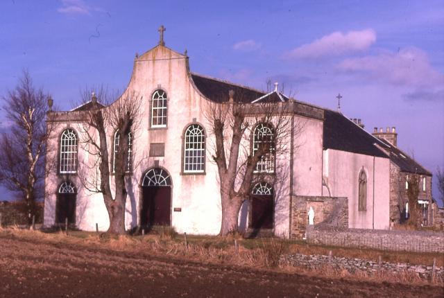
St Gregory's Church, Preshome

St. Gregory's Church is a Roman Catholic church at Preshome near Buckie in north-east Scotland. It is protected as a category A listed building.Built...

Inchgower distillery

Inchgower distillery is a whisky distillery producing a single malt of the same name located on the outskirts of Buckie, Moray, Scotland. == History... ==

Related Videos

Craigmin Bridge, Drybridge (4K)

Just outside Buckie in the small village of Drybridge, is a 18th century bridge, which is a hidden gem in Scotland. It was built ...

Craigmin Bridge | A hidden gem!

If you look upwards from the bottom of the sloping banks of the Letterfourie Burn, you might think that you can see a skeletal face ...

Nearby Amenities

Located within 500m of 57.619692,-2.9295378
Addie Hill
Ele: 272
Natural: peak
Lat/Long: 57.621602/-2.9247164
The data included in this document is from www.openstreetmap.org. The data is made available under ODbL.

Have you been to Addie Moss?

Leave your review of Addie Moss below (or comments, questions and feedback).