Muirburnhead Plantation

Wood, Forest in Dumfriesshire

Scotland

Muirburnhead Plantation

Road (B6357) at Dinwoodie, Greena Hill Looking south-westward.
Road (B6357) at Dinwoodie, Greena Hill Credit: Peter Wood

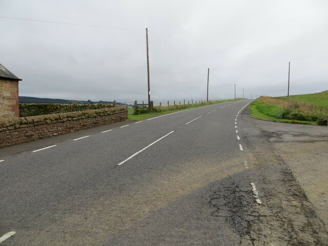
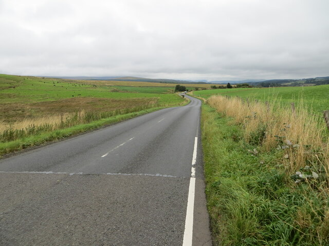
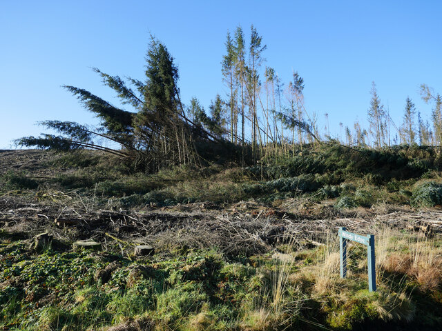
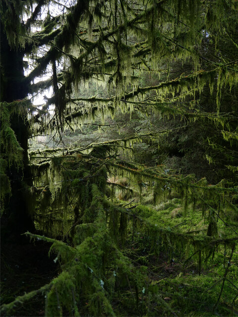
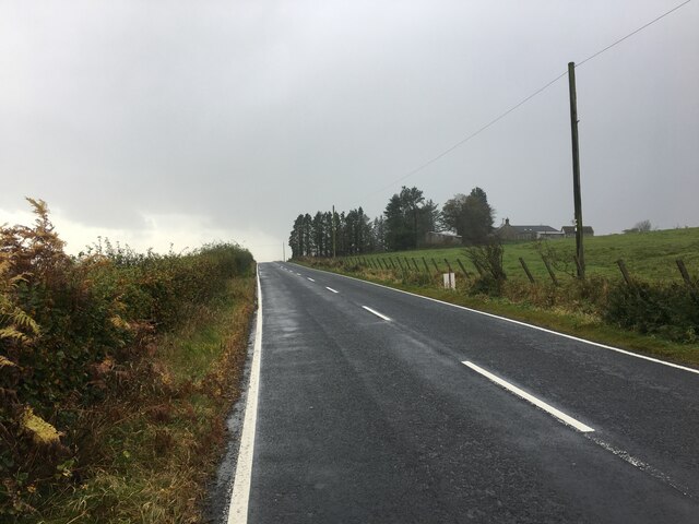
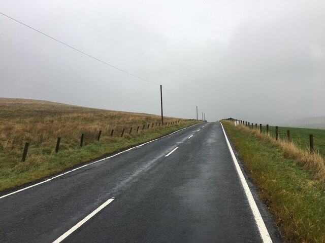
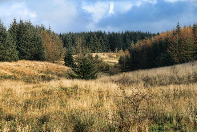
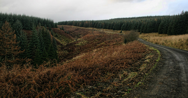
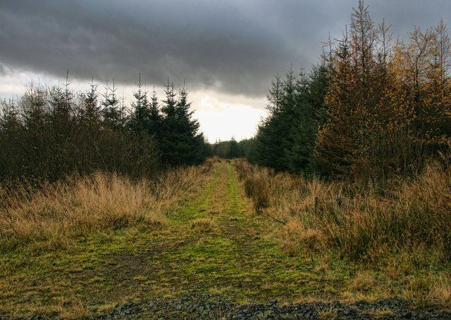
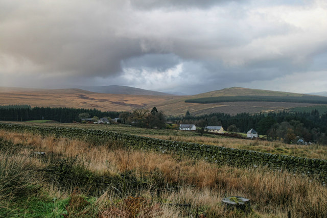
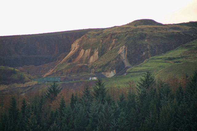
Muirburnhead Plantation is a picturesque wood located in Dumfriesshire, Scotland. Covering an area of approximately 200 hectares, this sprawling forest is a notable landmark in the region. The plantation is home to a diverse range of tree species, including oak, birch, beech, and pine, creating a rich and varied woodland ecosystem.

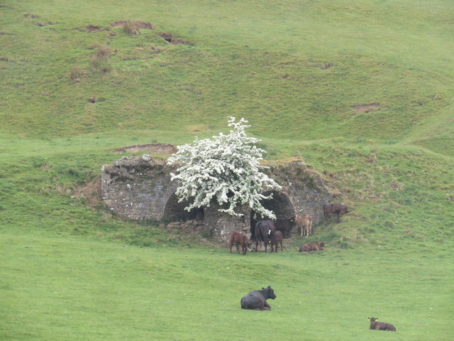
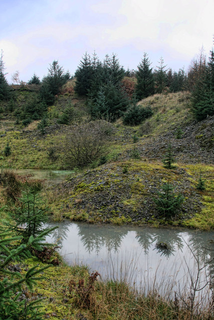
The terrain of Muirburnhead Plantation is undulating, with gentle slopes and valleys that add to its natural appeal. Several small streams meander through the woodland, enhancing its beauty and attracting an abundance of wildlife. The plantation is a haven for numerous bird species, such as woodpeckers, owls, and thrushes, making it a popular destination for birdwatchers.

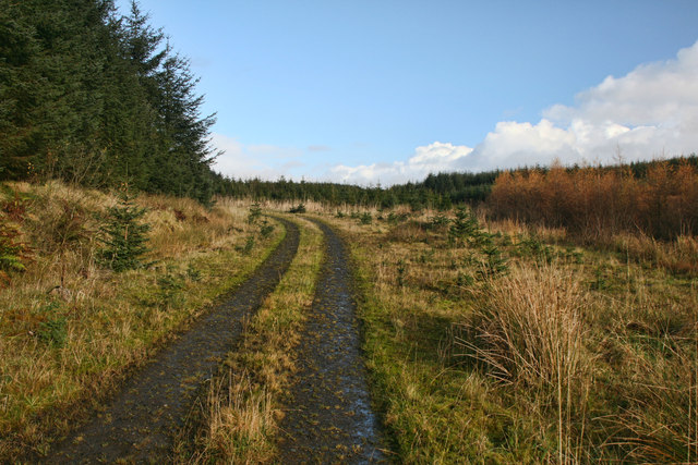
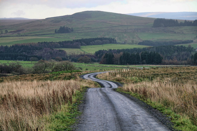
Visitors to Muirburnhead Plantation can enjoy a range of outdoor activities amidst its serene surroundings. The forest boasts a network of well-maintained walking trails, allowing visitors to explore its hidden treasures and marvel at its natural beauty. These trails cater to all levels of fitness and provide opportunities for both leisurely strolls and more challenging hikes.

Furthermore, the plantation offers designated picnic areas, providing a perfect spot for visitors to relax and enjoy a meal amidst the tranquil ambiance of the forest. Muirburnhead Plantation also hosts educational events and workshops, aiming to raise awareness about the importance of conservation and sustainable forestry practices.

Overall, Muirburnhead Plantation stands as a remarkable woodland in Dumfriesshire, offering a serene retreat for nature lovers. Its diverse flora and fauna, coupled with its well-maintained trails and educational initiatives, make it a cherished destination for visitors seeking a peaceful and enriching experience in the heart of Scottish wilderness.

If you have any feedback on the listing, please let us know in the comments section below.

Muirburnhead Plantation Images

Images are sourced within 2km of 55.131286/-2.870901 or Grid Reference NY4482. Thanks to Geograph Open Source API. All images are credited.
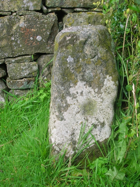
Road (B6357) at Dinwoodie, Greena Hill Looking south-westward.
Road (B6357) at Dinwoodie, Greena Hill
Looking south-westward.
Road (B6357) near Dinwoodie, Greena Hill Looking north-eastward.
Road (B6357) near Dinwoodie, Greena Hill
Looking north-eastward.
A sign for Windy Edge at Whisgills Edge Looming in the background are windthrown trees, testament to the actions of Storm Arwen (26/27 November 2021) which caused damage to many forests, including Tinnisburn.

This photograph was taken during the Coronavirus (COVID-19) pandemic of 2020/21/22.
A sign for Windy Edge at Whisgills Edge
Looming in the background are windthrown trees, testament to the actions of Storm Arwen (26/27 November 2021) which caused damage to many forests, including Tinnisburn. This photograph was taken during the Coronavirus (COVID-19) pandemic of 2020/21/22.
The Dixon monument in Tinnisburn Forest The monument commemorates Michael Dixon of Sclater, Castleton who was killed by lightning at the location on the 29th July 1805.  Interestingly, the Ancestry.co.uk website at <span class="nowrap"><a title="https://www.ancestry.co.uk/genealogy/records/michael-dixon-24-4846l1f" rel="nofollow ugc noopener" href="https://www.ancestry.co.uk/genealogy/records/michael-dixon-24-4846l1f">Link</a><img style="margin-left:2px;" alt="External link" title="External link - shift click to open in new window" src="https://s1.geograph.org.uk/img/external.png" width="10" height="10"/></span> notes: 'Born in Traquair, Peebles, Scotland on 21 JUN 1770 to Walter Dickson and Janet Lambert. Michael Dixon married Jessie Jardine and had 1 child. He passed away on 19 [sic] JUL 1805 in Castleton, Roxburgh, Scotland.'

The stone is next to a small break between forest coupes and has been afforded a generous unplanted area around it.

This photograph was taken during the Coronavirus (COVID-19) pandemic of 2020/21/22.
The Dixon monument in Tinnisburn Forest
The monument commemorates Michael Dixon of Sclater, Castleton who was killed by lightning at the location on the 29th July 1805. Interestingly, the Ancestry.co.uk website at LinkExternal link notes: 'Born in Traquair, Peebles, Scotland on 21 JUN 1770 to Walter Dickson and Janet Lambert. Michael Dixon married Jessie Jardine and had 1 child. He passed away on 19 [sic] JUL 1805 in Castleton, Roxburgh, Scotland.' The stone is next to a small break between forest coupes and has been afforded a generous unplanted area around it. This photograph was taken during the Coronavirus (COVID-19) pandemic of 2020/21/22.
Lush lichen growth in Tinnisburn Forest This section of Tinnisburn Forest had many trees exhibiting superb growths of lichens.  In the background, a small break between forestry coupes can be noted.

This photograph was taken during the Coronavirus (COVID-19) pandemic of 2020/21/22.
Lush lichen growth in Tinnisburn Forest
This section of Tinnisburn Forest had many trees exhibiting superb growths of lichens. In the background, a small break between forestry coupes can be noted. This photograph was taken during the Coronavirus (COVID-19) pandemic of 2020/21/22.
B6357 near Ryeleahead
Old Milestone by the B6357, Caulside, Canonbie parish Stone post by the B6357, in parish of Canonbie (Dunfermline District), Caulside, outside No.3, a white cottage.

Inscription reads:-
: 32 : : 6 :
(To Jedburgh and Newcastleton) 

Surveyed

Milestone Society National ID: DG_NTCN06
Old Milestone by the B6357, Caulside, Canonbie parish
Stone post by the B6357, in parish of Canonbie (Dunfermline District), Caulside, outside No.3, a white cottage. Inscription reads:- : 32 : : 6 : (To Jedburgh and Newcastleton) Surveyed Milestone Society National ID: DG_NTCN06
Greena Hill Limekiln This double kiln now seems isolated in the middle of a field, but immediately behind it there was once a series of small limestone quarries, now all disused and grown over.
Greena Hill Limekiln
This double kiln now seems isolated in the middle of a field, but immediately behind it there was once a series of small limestone quarries, now all disused and grown over.
Greyscrog Sike View looking up Greyscrog Sike in Tinnisburn Forest.
Greyscrog Sike
View looking up Greyscrog Sike in Tinnisburn Forest.
Haw Gill View looking up Haw Gill in Tinnisburn Forest.
Haw Gill
View looking up Haw Gill in Tinnisburn Forest.
Mid Cleuch Track running up the side of Mid Cleuch in Tinnisburn Forest.
Mid Cleuch
Track running up the side of Mid Cleuch in Tinnisburn Forest.
Whisgills Edge Quarry at Whisgills Edge in Tinnisburn Forest.
Whisgills Edge
Quarry at Whisgills Edge in Tinnisburn Forest.
Powgill Rigg Track at Powgill Rigg in Tinnisburn Forest.
Powgill Rigg
Track at Powgill Rigg in Tinnisburn Forest.
Whisgills Whisgills, a small hamlet in Tinnisburn Forest.
Whisgills
Whisgills, a small hamlet in Tinnisburn Forest.
Heugh Head Track leading from Whisgills at Heugh Head.
Heugh Head
Track leading from Whisgills at Heugh Head.
Powgill Rigg Derelict cottage at Powgill Rigg in Tinnisburn Forest.
Powgill Rigg
Derelict cottage at Powgill Rigg in Tinnisburn Forest.
Greena Quarry Greena Quarry at Greena Hill.
Greena Quarry
Greena Quarry at Greena Hill.
Show me another place!

Muirburnhead Plantation is located at Grid Ref: NY4482 (Lat: 55.131286, Lng: -2.870901)

Unitary Authority: Dumfries and Galloway

Police Authority: Dumfries and Galloway

What 3 Words

///amicably.exacted.impose. Near Langholm, Dumfries & Galloway

Nearby Locations

Muirburnhead Plantation

Related Wikis

Penton railway station

Penton railway station served the parish of Penton from 1862 to 1969 on the Border Union Railway. == History == The station opened on 1 March 1862 by the...

Kershope Foot railway station

Kershope Foot railway station served the hamlet of Kershopefoot, Cumbria, from 1862 to 1969 on the Border Union Railway. == History == The station opened...

Kershope Burn

Kershope Burn is a small river; a tributary of both the Liddel Water and the River Esk; its final destination is the Solway Firth. The early stages begin...

Nook Pasture railway station

Nook Pasture railway station served the village of Canonbie, Dumfriesshire, Scotland, from 1864 to 1873 on the Waverley Line. The station was located...

Nearby Amenities

Located within 500m of 55.131286,-2.870901
Long Sike Bog
Place: locality
Lat/Long: 55.1337168/-2.8696549
Muirburnhead Plantation
Natural: wood
Lat/Long: 55.1315955/-2.8705694
The data included in this document is from www.openstreetmap.org. The data is made available under ODbL.

Have you been to Muirburnhead Plantation?

Leave your review of Muirburnhead Plantation below (or comments, questions and feedback).