Gallow Hill
Hill, Mountain in Fife
Scotland
Gallow Hill
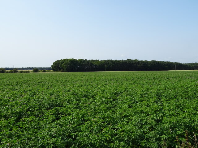
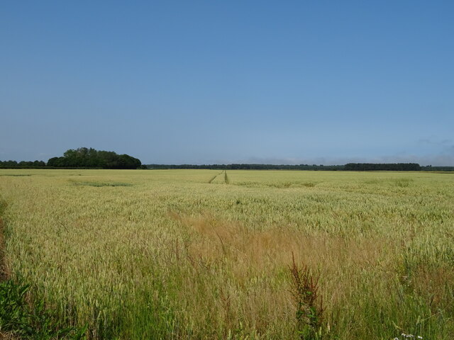
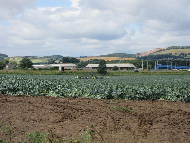
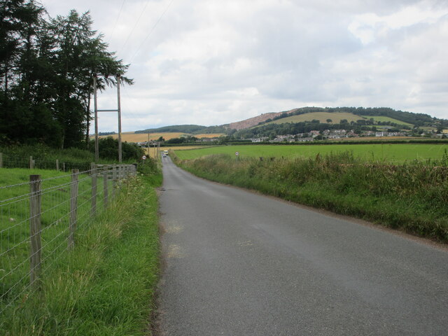
Gallow Hill is a prominent hill located in Fife, Scotland. Rising to a height of approximately 81 meters (266 feet), it is situated near the town of Dunfermline. The hill offers stunning panoramic views of the surrounding countryside, making it a popular destination for locals and visitors alike.
Gallow Hill is steeped in history, with its name derived from its historical use as a site for public executions during the medieval period. It is believed that criminals and wrongdoers were hanged here as a means of punishment. Although there is little remaining evidence of these executions, the hill's name serves as a reminder of its dark past.
The hill is covered in lush greenery and is home to a variety of flora and fauna. It serves as a haven for wildlife, attracting a range of bird species, including buzzards, kestrels, and owls. Nature enthusiasts can enjoy peaceful walks along the hill's pathways, taking in the breathtaking scenery and observing the local wildlife.
Gallow Hill is easily accessible, with a network of footpaths leading to its summit. It is a popular spot for outdoor activities, such as hiking, dog walking, and picnicking. The hill also features a memorial bench dedicated to the memory of a local individual, providing a peaceful spot for reflection.
Overall, Gallow Hill is a historically significant and picturesque landmark in Fife, offering a combination of natural beauty, recreational opportunities, and a glimpse into the region's past.
If you have any feedback on the listing, please let us know in the comments section below.
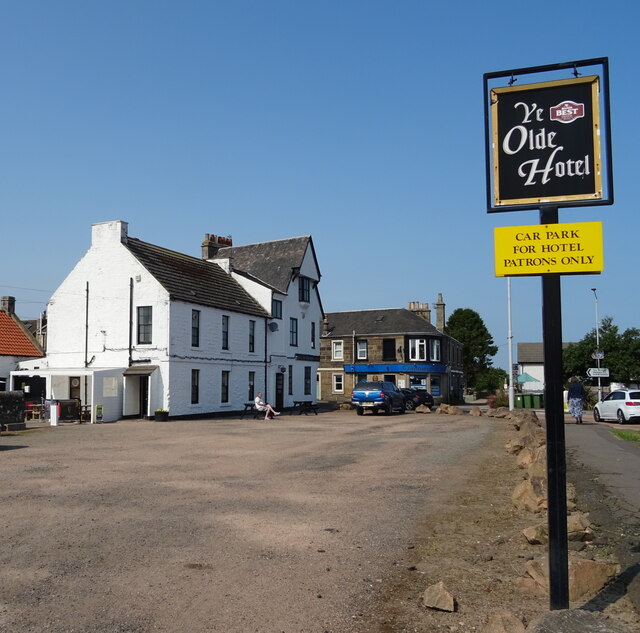
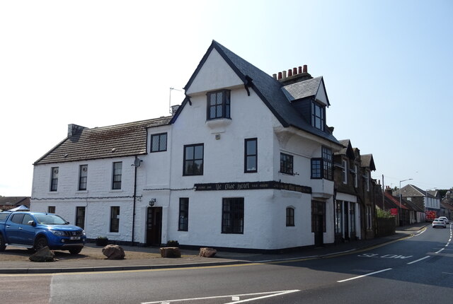
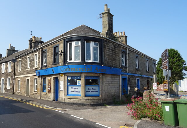
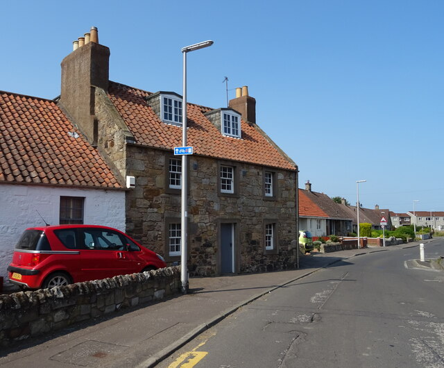
Gallow Hill Images
Images are sourced within 2km of 56.387758/-2.9014762 or Grid Reference NO4422. Thanks to Geograph Open Source API. All images are credited.


Gallow Hill is located at Grid Ref: NO4422 (Lat: 56.387758, Lng: -2.9014762)
Unitary Authority: Fife
Police Authority: Fife
What 3 Words
///swift.reduction.soft. Near Leuchars, Fife
Nearby Locations
Related Wikis
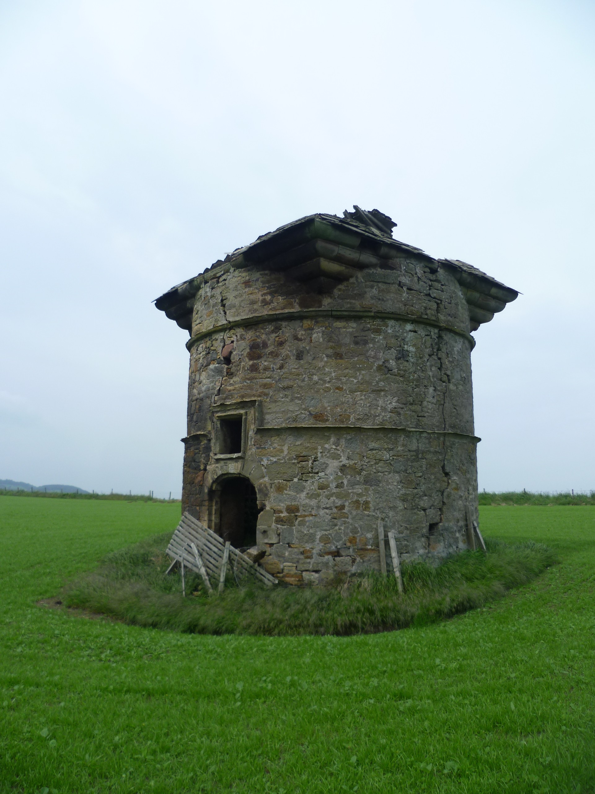
Leuchars Castle
Leuchars Castle, was a castle that was located near Leuchars, Fife, Scotland.A motte and bailey castle was built in the 12th century. The town was created...

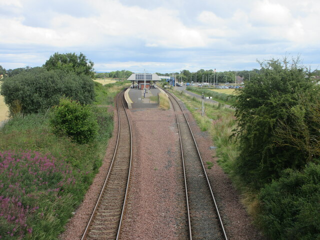
Leuchars (Old) railway station
Leuchars (Old) railway station served the town of Leuchars, Fife, Scotland from 1848 to 1921 on the Edinburgh and Northern Railway. == History == The station...
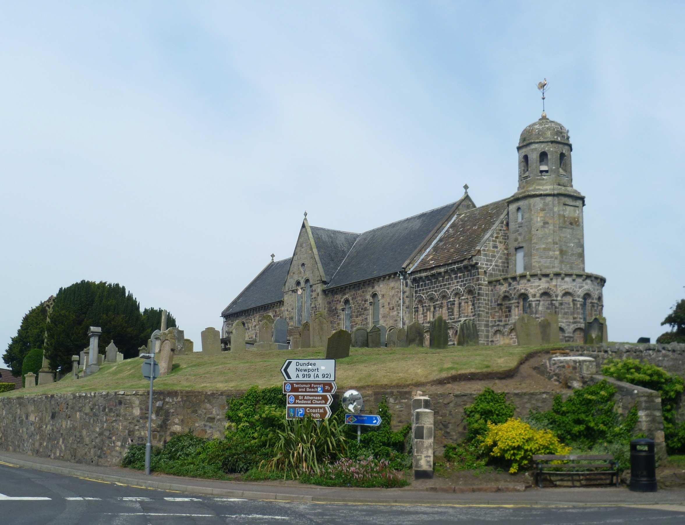
St Athernase Church
St Athernase Church is a Romanesque church located in Leuchars, Fife, Scotland. It is a Category A listed building and remains in use as a Church of Scotland...
Leuchars
Leuchars (pronounced or ; Scottish Gaelic: Luachar "rushes") is a small town and parish near the north-east coast of Fife in Scotland. The civil parish...
Nearby Amenities
Located within 500m of 56.387758,-2.9014762Have you been to Gallow Hill?
Leave your review of Gallow Hill below (or comments, questions and feedback).