St Michaels
Settlement in Fife
Scotland
St Michaels
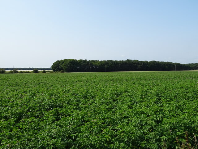
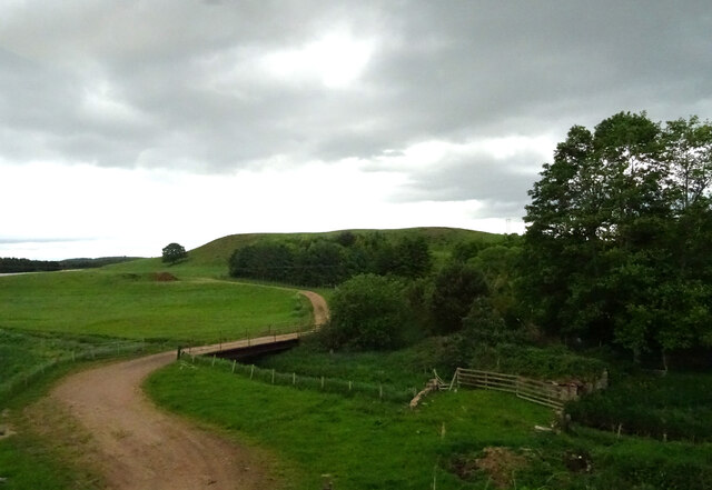
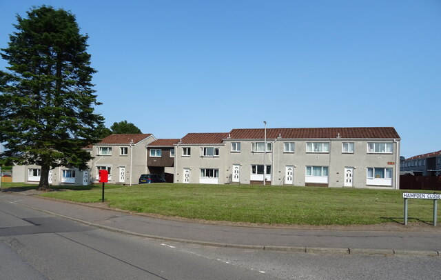
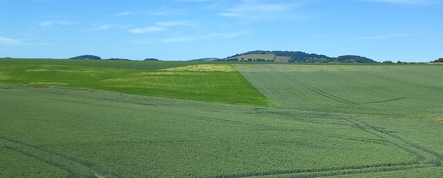
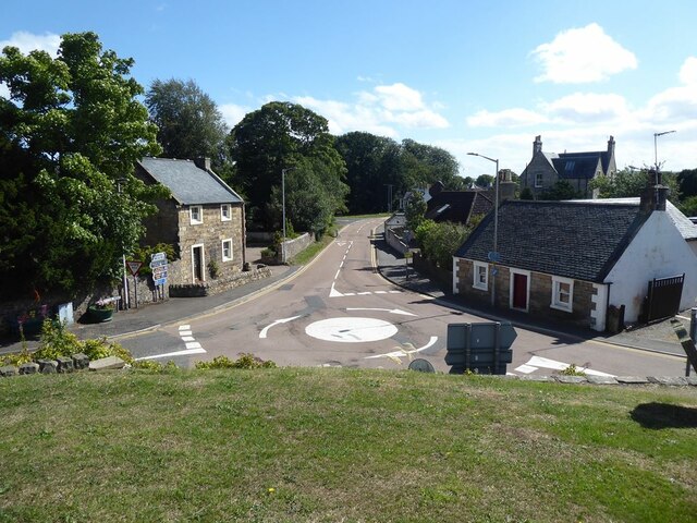
St Michaels is a small coastal village located in the northeastern region of Fife, Scotland. Situated on the southern coast of the Tay Estuary, it offers breathtaking views of the surrounding landscapes, including the nearby city of Dundee and the picturesque hills of Fife.
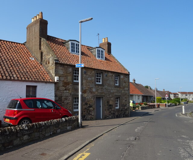
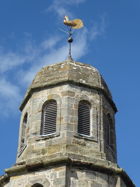
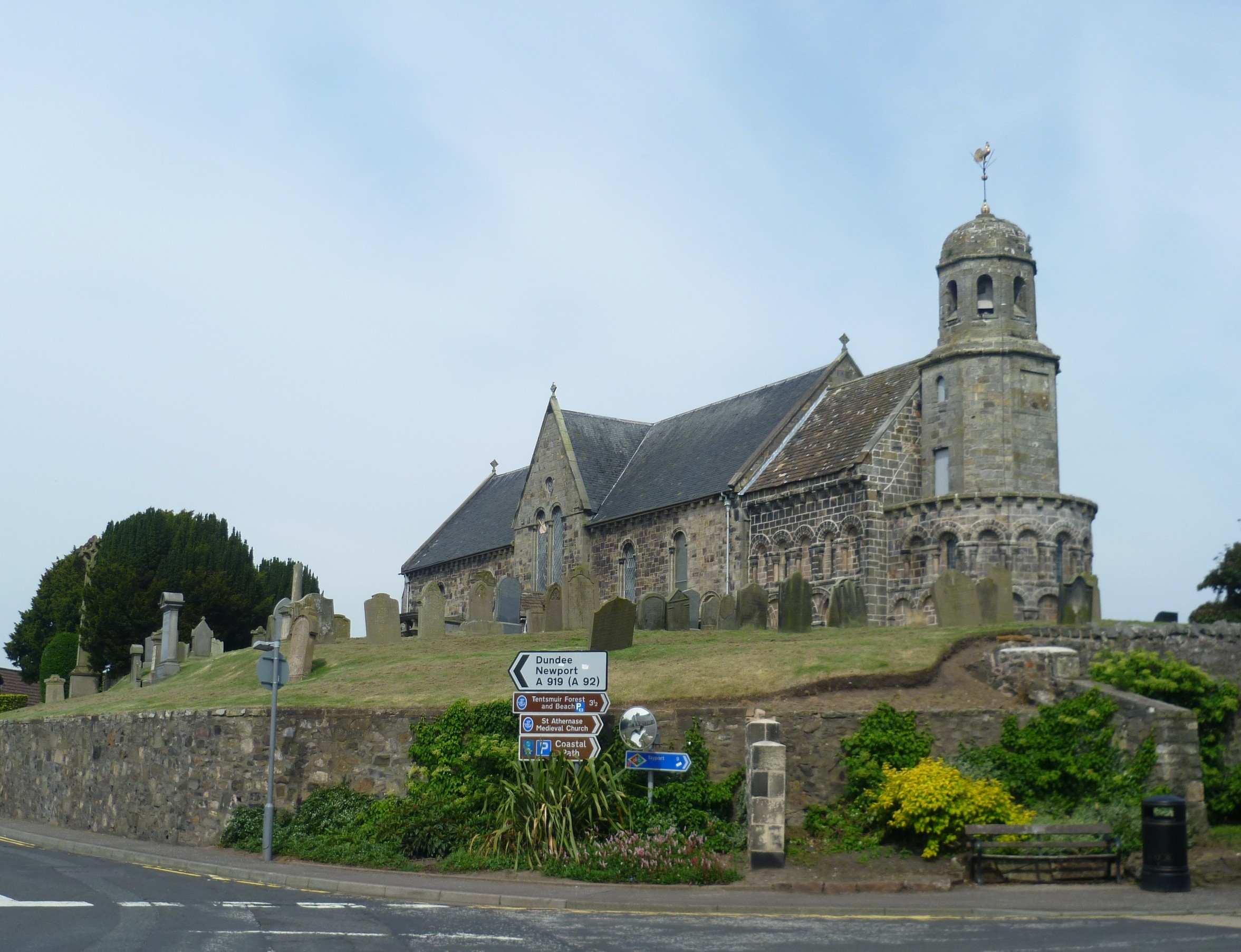
The village is renowned for its tranquil atmosphere and charming historical buildings. One of the most notable landmarks is the St Michaels Parish Church, which dates back to the 12th century and features stunning stained glass windows and intricate stone carvings. The church is a significant historical and architectural treasure, attracting visitors from near and far.
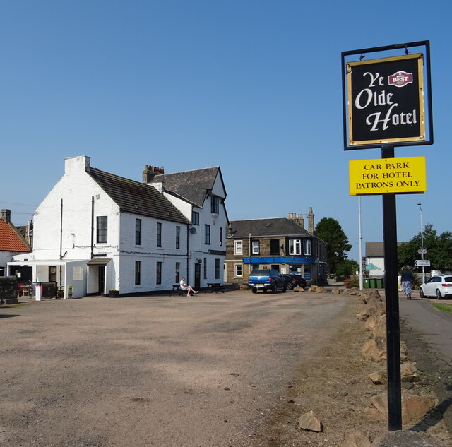
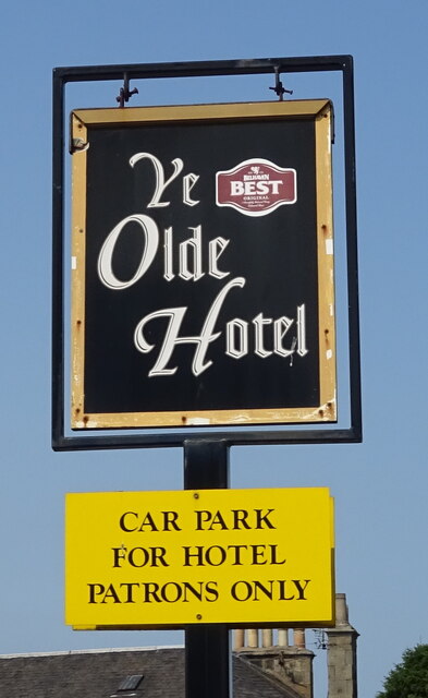
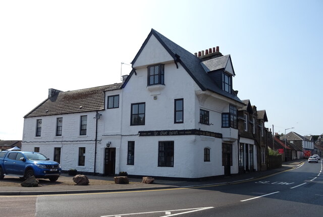
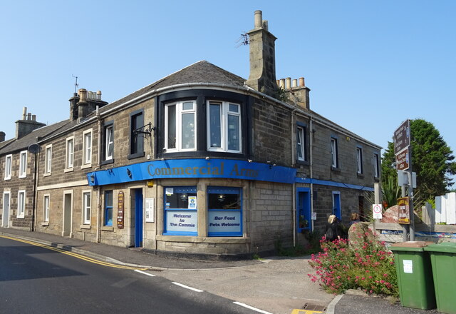
St Michaels is also home to a vibrant local community, with a range of amenities and services for residents and visitors alike. The village boasts a few shops, cafes, and pubs, providing a warm and welcoming atmosphere for tourists exploring the area. It is also well-connected to nearby towns and cities, making it an ideal base for those wishing to explore the wider region.
Nature enthusiasts will be delighted by the natural beauty surrounding St Michaels. The coastal location offers opportunities for scenic walks along the beach, with breathtaking views of the sea and the abundant wildlife that inhabits the area.
Overall, St Michaels, Fife is a charming village that combines historical significance, natural beauty, and a strong sense of community. Whether you are interested in exploring its rich history, enjoying the picturesque landscapes, or simply seeking a peaceful retreat, St Michaels offers something for everyone.
If you have any feedback on the listing, please let us know in the comments section below.
St Michaels Images
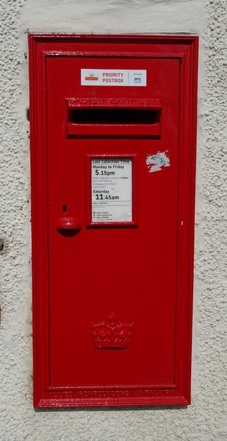
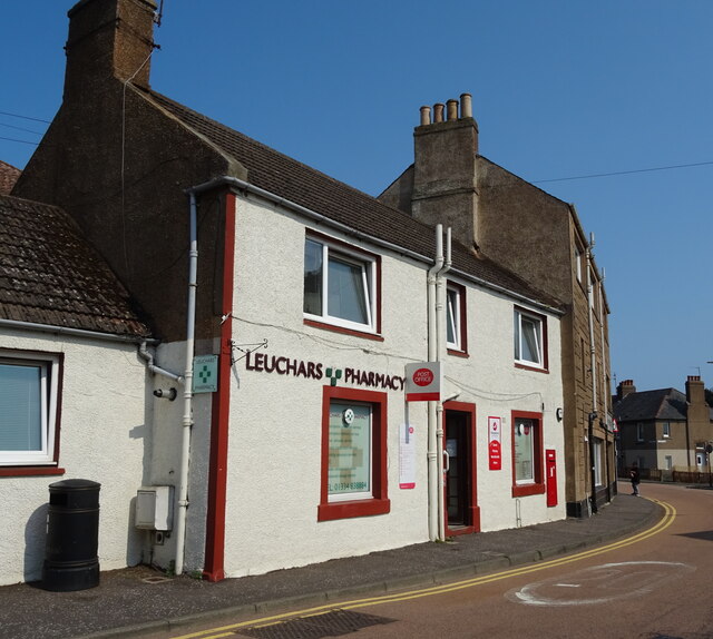
Images are sourced within 2km of 56.393917/-2.9057688 or Grid Reference NO4422. Thanks to Geograph Open Source API. All images are credited.


St Michaels is located at Grid Ref: NO4422 (Lat: 56.393917, Lng: -2.9057688)
Unitary Authority: Fife
Police Authority: Fife
What 3 Words
///screaming.pasting.circling. Near Leuchars, Fife
Nearby Locations
Related Wikis
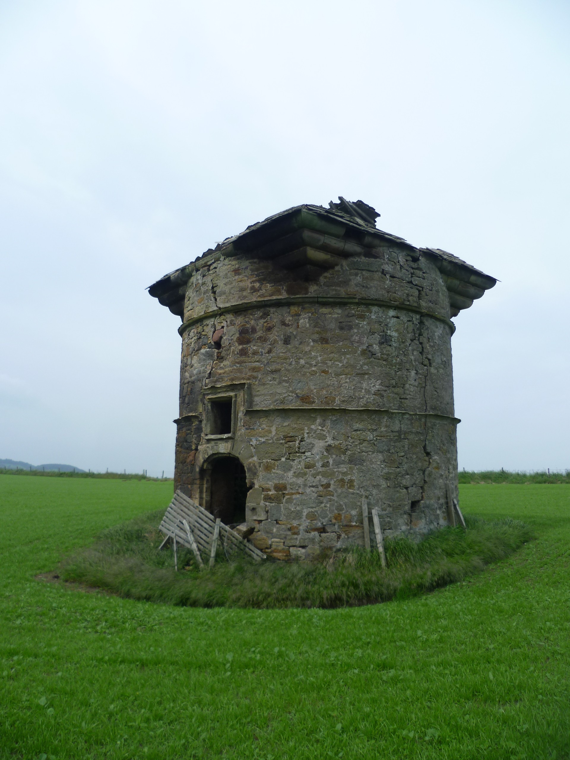
Leuchars Castle
Leuchars Castle, was a castle that was located near Leuchars, Fife, Scotland.A motte and bailey castle was built in the 12th century. The town was created...

Lucklawhill
Lucklawhill is a hamlet one mile (1.6 km) northwest of the village of Balmullo in Fife, Scotland. Historically, Lucklawhill belonged to the Logie parish...
Leuchars (Old) railway station
Leuchars (Old) railway station served the town of Leuchars, Fife, Scotland from 1848 to 1921 on the Edinburgh and Northern Railway. == History == The station...
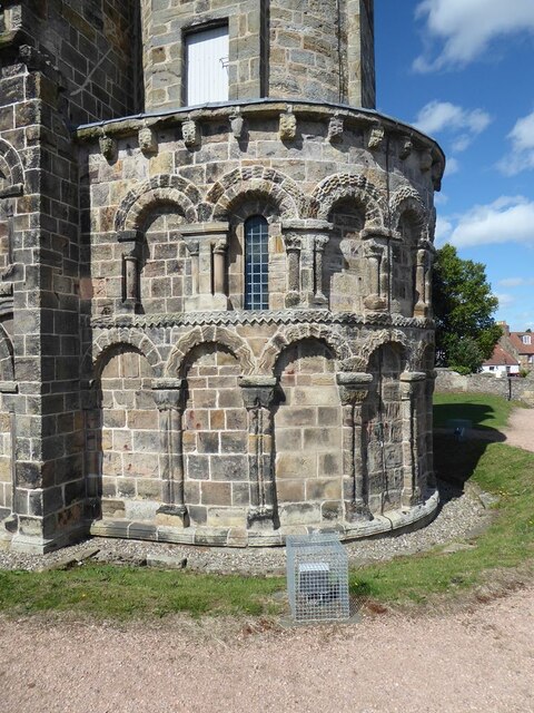
St Athernase Church
St Athernase Church is a Romanesque church located in Leuchars, Fife, Scotland. It is a Category A listed building and remains in use as a Church of Scotland...
Nearby Amenities
Located within 500m of 56.393917,-2.9057688Have you been to St Michaels?
Leave your review of St Michaels below (or comments, questions and feedback).