Carrick
Settlement in Fife
Scotland
Carrick

Carrick is a small village located in the county of Fife, Scotland. Situated on the eastern coast of the country, it lies approximately 5 miles south of the town of St. Andrews and 10 miles northeast of the city of Dundee. The village is nestled within a picturesque rural setting, surrounded by rolling hills and farmland.
Though small in size, Carrick has a rich history that dates back centuries. It is believed to have been settled during the Bronze Age, and evidence of ancient burial sites and stone circles can still be found in the area. The village played a significant role in the agricultural industry, with farming being a mainstay of the local economy for many years.
Today, Carrick remains a peaceful and close-knit community with a population of around 200 residents. The village is known for its natural beauty and tranquil atmosphere, making it a popular destination for those seeking a quiet retreat. Visitors can enjoy scenic walks along the nearby coastline, exploring the sandy beaches and rocky cliffs. The surrounding countryside also offers ample opportunities for outdoor activities such as hiking, cycling, and birdwatching.
Although Carrick lacks many amenities, it benefits from its proximity to St. Andrews and Dundee, where residents can access a wider range of services and entertainment options. The village maintains a strong community spirit, with various local events and gatherings organized throughout the year. Overall, Carrick offers a charming and idyllic lifestyle for those seeking a peaceful retreat in the heart of Fife.
If you have any feedback on the listing, please let us know in the comments section below.
Carrick Images
Images are sourced within 2km of 56.386943/-2.9085672 or Grid Reference NO4422. Thanks to Geograph Open Source API. All images are credited.


Carrick is located at Grid Ref: NO4422 (Lat: 56.386943, Lng: -2.9085672)
Unitary Authority: Fife
Police Authority: Fife
What 3 Words
///shuttled.snapper.notices. Near Balmullo, Fife
Nearby Locations
Related Wikis

Lucklawhill
Lucklawhill is a hamlet one mile (1.6 km) northwest of the village of Balmullo in Fife, Scotland. Historically, Lucklawhill belonged to the Logie parish...
Leuchars (Old) railway station
Leuchars (Old) railway station served the town of Leuchars, Fife, Scotland from 1848 to 1921 on the Edinburgh and Northern Railway. == History == The station...
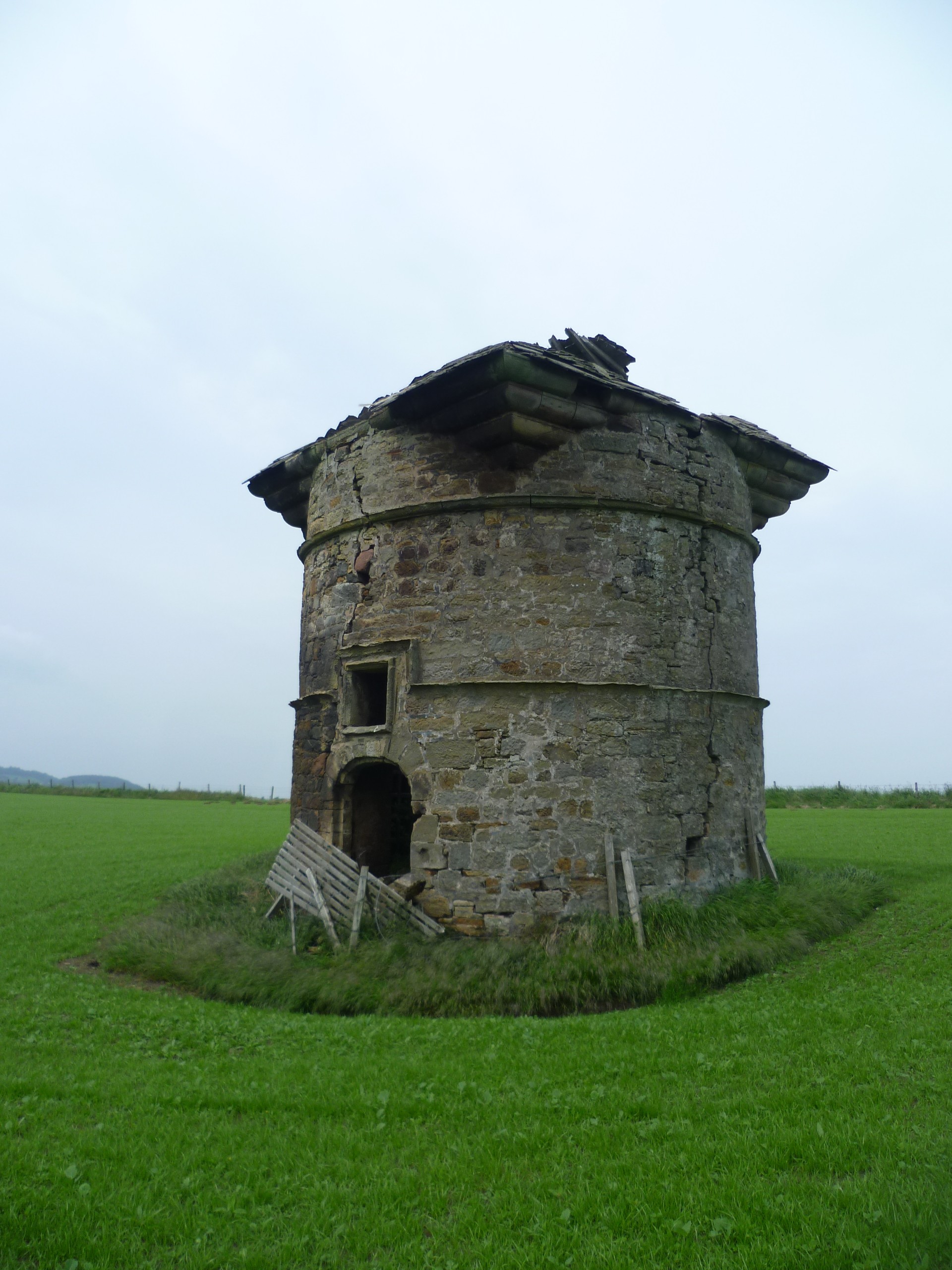
Leuchars Castle
Leuchars Castle, was a castle that was located near Leuchars, Fife, Scotland.A motte and bailey castle was built in the 12th century. The town was created...
Balmullo
Balmullo (Gaelic: Baile Mhullaich) is a village in Fife, Scotland. It is 7 miles (11 km) from the town of St Andrews and near to the villages of Lucklawhill...
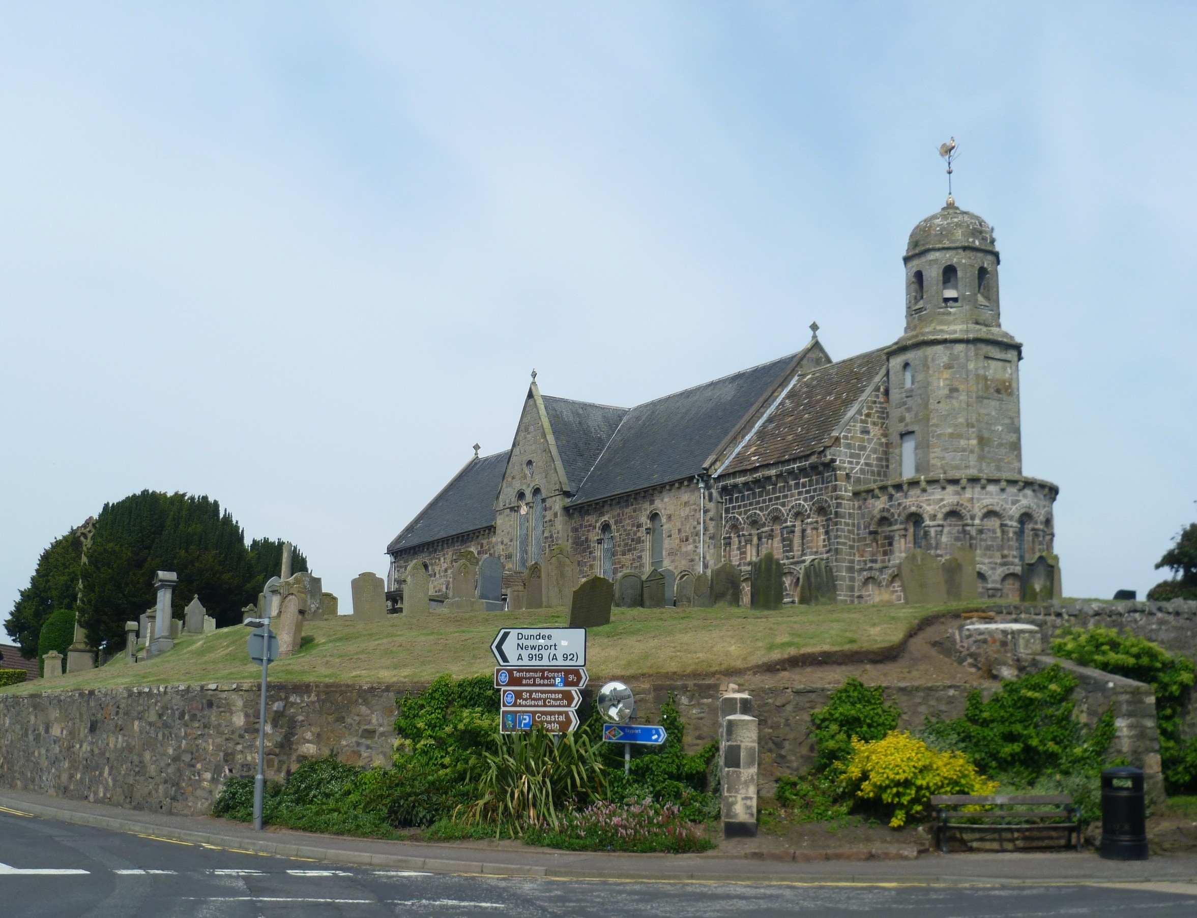
St Athernase Church
St Athernase Church is a Romanesque church located in Leuchars, Fife, Scotland. It is a Category A listed building and remains in use as a Church of Scotland...
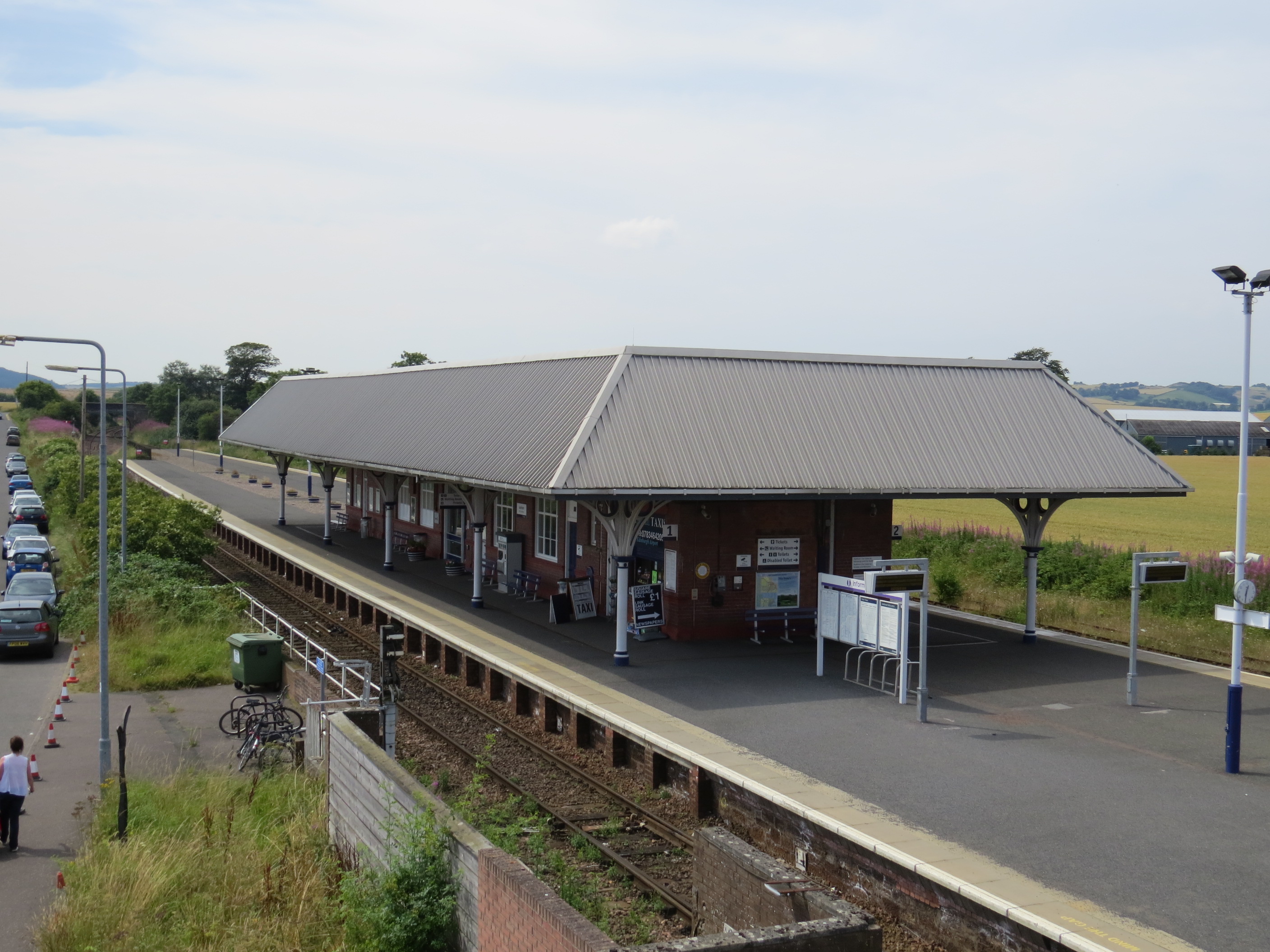
Leuchars railway station
Leuchars railway station ( LEW-khərs, sometimes known as Leuchars (for St. Andrews)) serves the towns of Leuchars and St Andrews in Fife, Scotland. The...
Leuchars
Leuchars (pronounced or ; Scottish Gaelic: Luachar "rushes") is a small town and parish near the north-east coast of Fife in Scotland. The civil parish...

Earlshall Castle
Earlshall Castle is a restored 16th century courtyard castle, near Leuchars Station about 1⁄2 mile (800 metres) east of Leuchars, Fife, ScotlandIt has...
Nearby Amenities
Located within 500m of 56.386943,-2.9085672Have you been to Carrick?
Leave your review of Carrick below (or comments, questions and feedback).