Saletarn Knotts
Hill, Mountain in Westmorland South Lakeland
England
Saletarn Knotts
Saletarn Knotts is a prominent hill/mountain located in the county of Westmorland, England. Standing at an elevation of approximately 1,584 feet (483 meters), it is part of the stunning Lake District National Park, known for its picturesque landscapes and natural beauty.
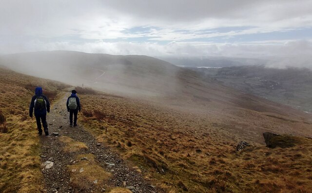
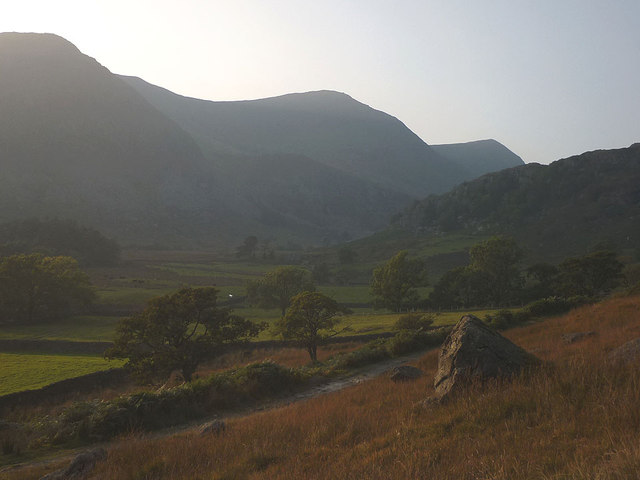
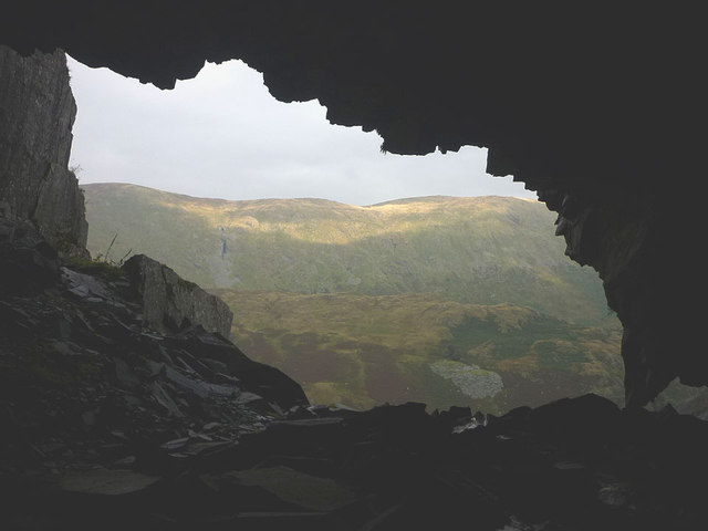
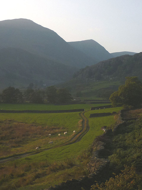
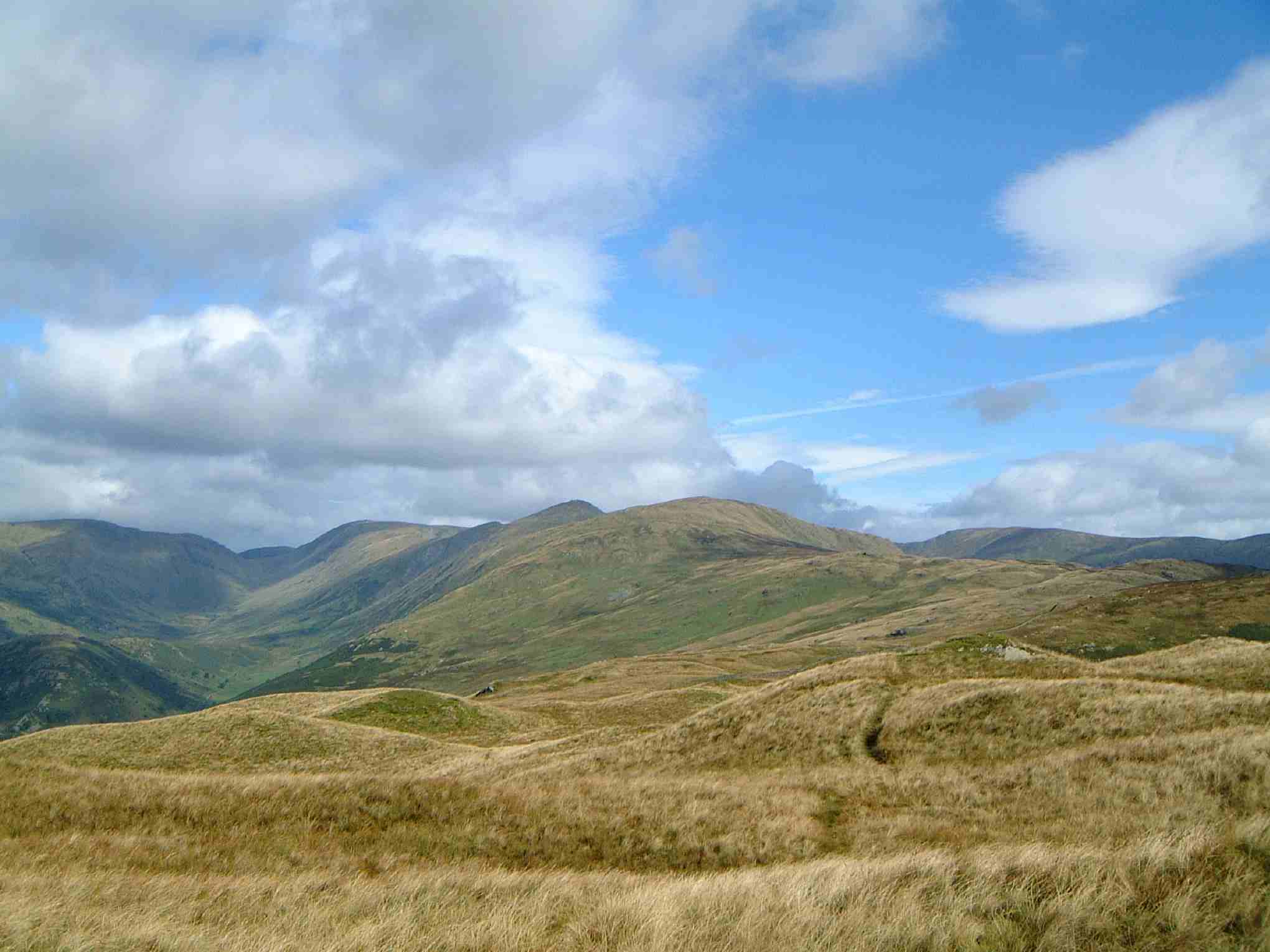
Situated in the eastern region of the national park, Saletarn Knotts offers breathtaking views of the surrounding countryside, including the nearby Haweswater Reservoir and the rolling hills of the Lake District. Its distinctive shape and rugged terrain make it a popular destination for hikers, nature enthusiasts, and outdoor adventurers.
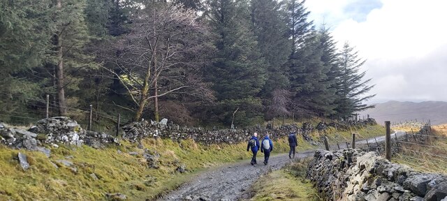
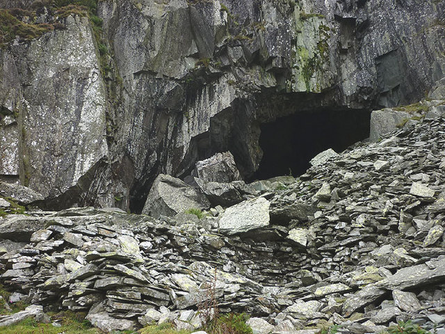
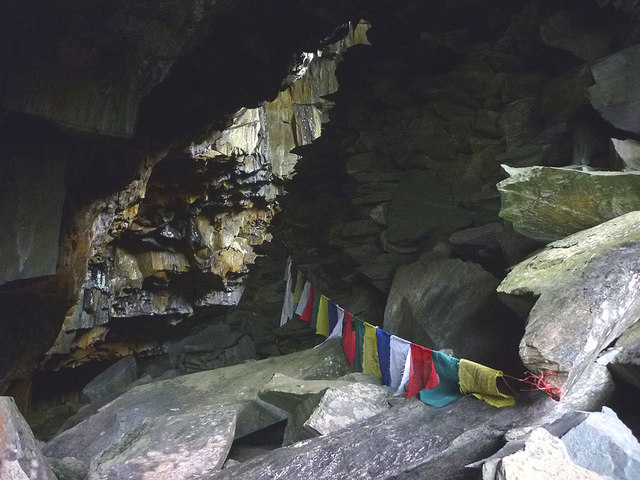
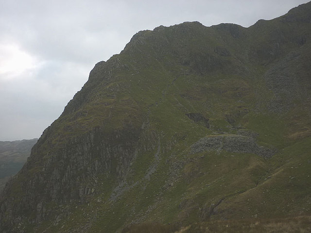
The hill/mountain is predominantly made up of rocky outcrops and grassy slopes, providing a challenging yet rewarding climb for those who choose to explore its trails. The ascent to the summit takes visitors through a variety of landscapes, including heather-covered moorland, ancient woodlands, and open fellside.
At the top of Saletarn Knotts, visitors are rewarded with a panoramic vista that stretches for miles. On a clear day, one can see the vast expanse of the Lake District, with its patchwork of green fields, sparkling lakes, and distant peaks. The serene atmosphere and peaceful surroundings make it an ideal spot for relaxation and contemplation.
Saletarn Knotts is easily accessible from nearby towns and villages, with a range of footpaths and trails leading to its summit. Whether it be for a leisurely stroll or a challenging hike, this hill/mountain offers an unforgettable experience for those seeking to immerse themselves in the natural wonders of Westmorland and the Lake District.
If you have any feedback on the listing, please let us know in the comments section below.
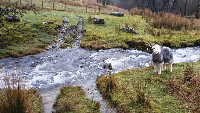
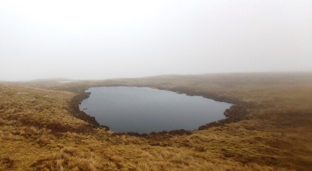
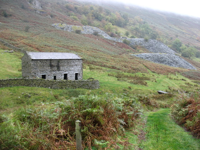
Saletarn Knotts Images
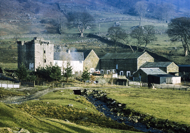
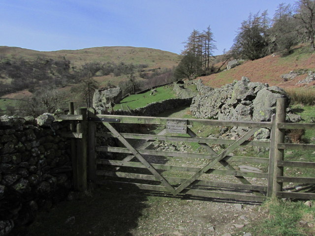
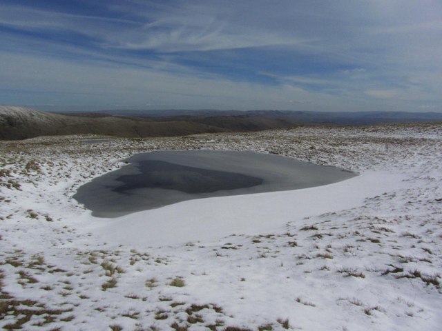
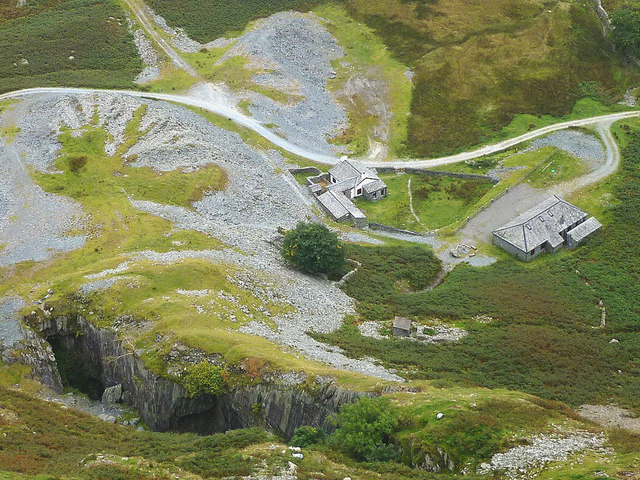
Images are sourced within 2km of 54.441413/-2.8583394 or Grid Reference NY4405. Thanks to Geograph Open Source API. All images are credited.

Saletarn Knotts is located at Grid Ref: NY4405 (Lat: 54.441413, Lng: -2.8583394)
Administrative County: Cumbria
District: South Lakeland
Police Authority: Cumbria
What 3 Words
///figure.licks.fund. Near Ambleside, Cumbria
Nearby Locations
Related Wikis
Yoke (Lake District)
Yoke is a fell in the Lake District in Cumbria, England. It has a height of 706 metres (2,316 ft) and is situated in the far eastern sector of the national...

Sallows
Sallows is a fell in the English Lake District, rising between the valleys of Kentmere and Troutbeck. It is the highest point in the upland area to the...
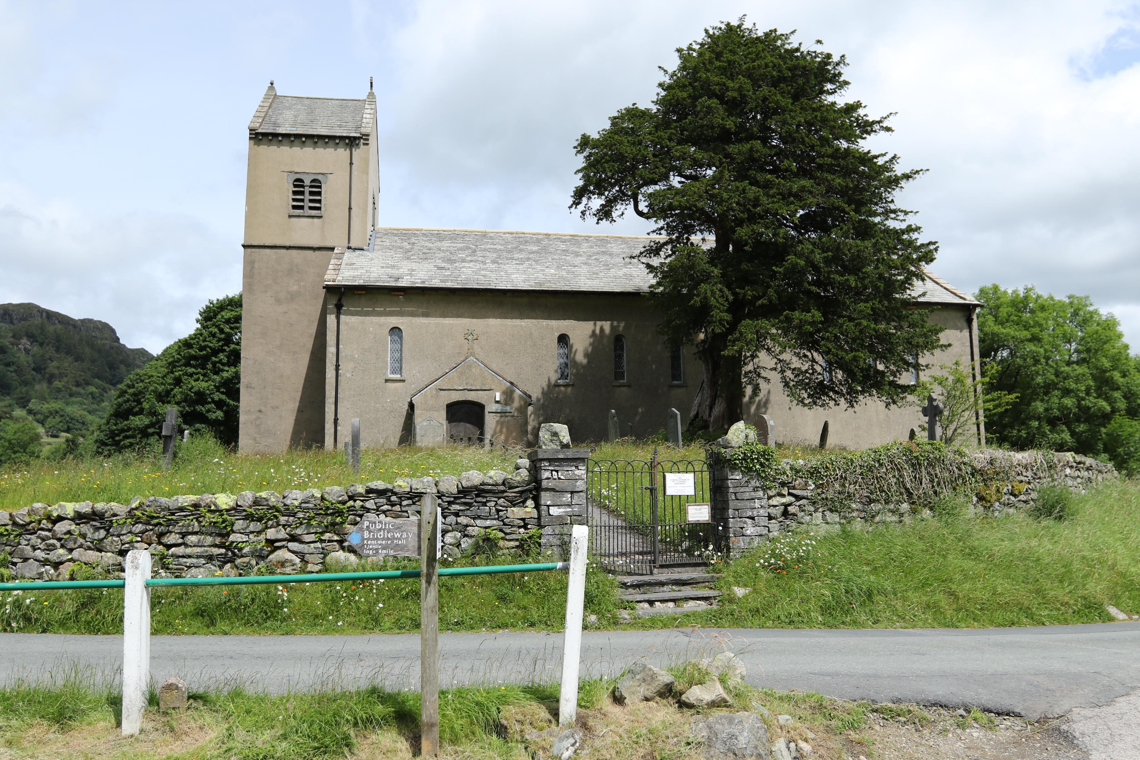
St Cuthbert's Church, Kentmere
St Cuthbert's Church, Kentmere is a Grade II listed parish church in the Church of England in Kentmere, Cumbria. Its benefice is united with that of St...

Kentmere
Kentmere is a valley, village and civil parish in the Lake District National Park, a few miles from Kendal in the Westmorland and Furness district of Cumbria...
Nearby Amenities
Located within 500m of 54.441413,-2.8583394Have you been to Saletarn Knotts?
Leave your review of Saletarn Knotts below (or comments, questions and feedback).