Craig Law

Hill, Mountain in Fife

Scotland

Craig Law

Tayport - West Lighthouse Looking east
Tayport - West Lighthouse Credit: Karl Peet

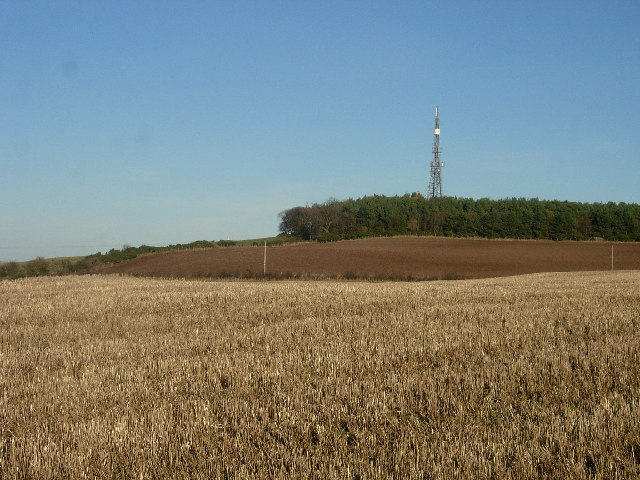
Craig Law is a prominent hill located in Fife, a county in Scotland. It is part of the Lomond Hills range, which is situated in the eastern part of the county. Standing at an elevation of approximately 678 meters (2,224 feet), Craig Law offers breathtaking panoramic views of the surrounding landscapes.

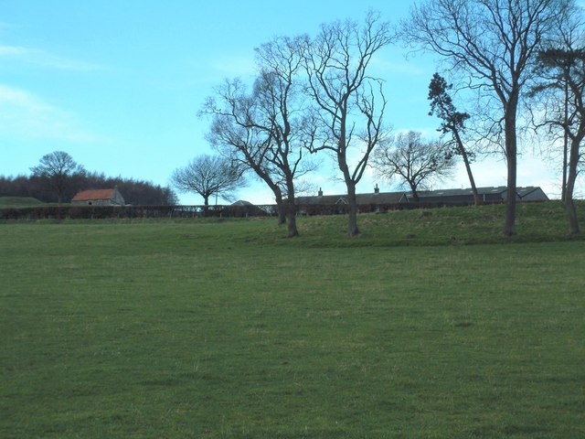
The hill is known for its distinctive pyramid-shaped peak, which is a result of its geological formation. It is composed of various types of rock, including sandstone and shale, which have been shaped by natural forces over thousands of years. The hill is also home to a diverse range of flora and fauna, with heather, grasses, and wildflowers covering its slopes, and birds and small mammals inhabiting its woodlands.

Craig Law is a popular destination for outdoor enthusiasts and nature lovers, offering a range of activities. Hiking and walking trails provide access to the hill, allowing visitors to explore its rugged terrain and take in the stunning views. The hill is also a favored spot for birdwatching, with a variety of species, including buzzards and kestrels, frequently spotted.

Its close proximity to nearby towns and villages, such as Falkland and Glenrothes, makes Craig Law easily accessible for both locals and tourists. The hill provides a peaceful retreat from the hustle and bustle of everyday life, offering visitors a chance to connect with nature and enjoy the beauty of the Scottish countryside.

If you have any feedback on the listing, please let us know in the comments section below.
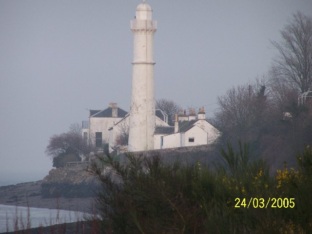
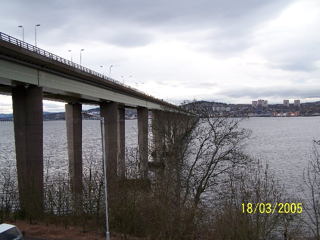
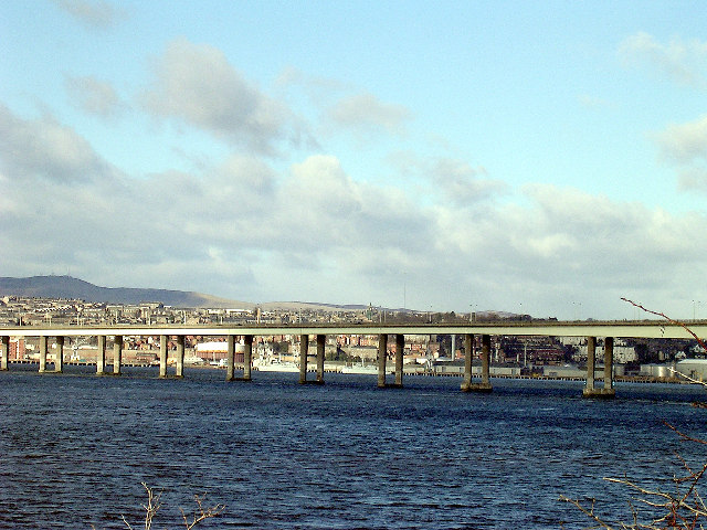
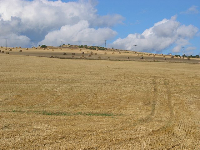
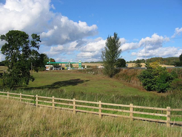
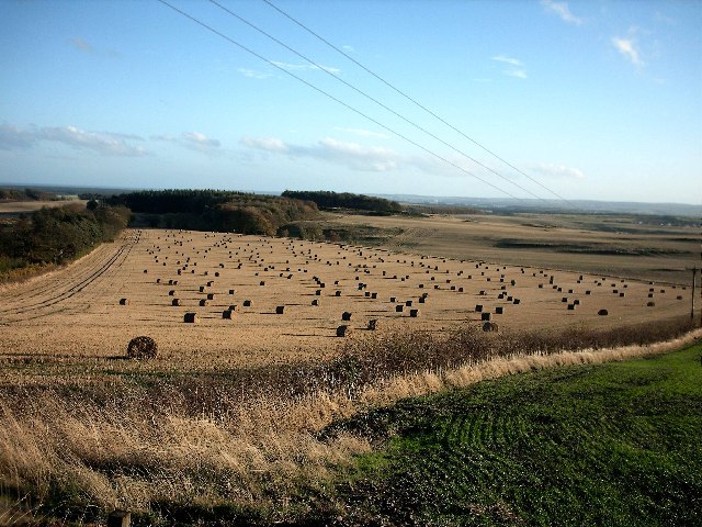
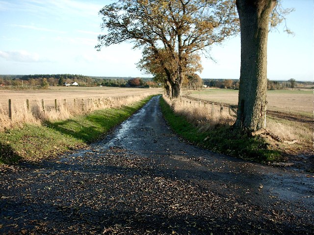
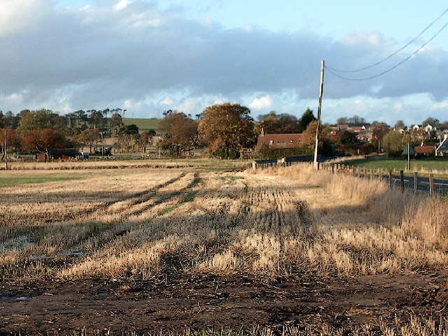
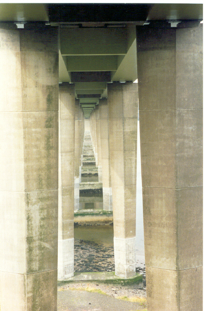
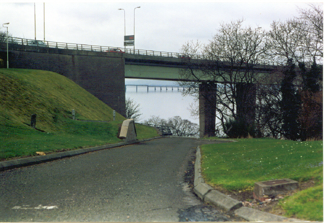
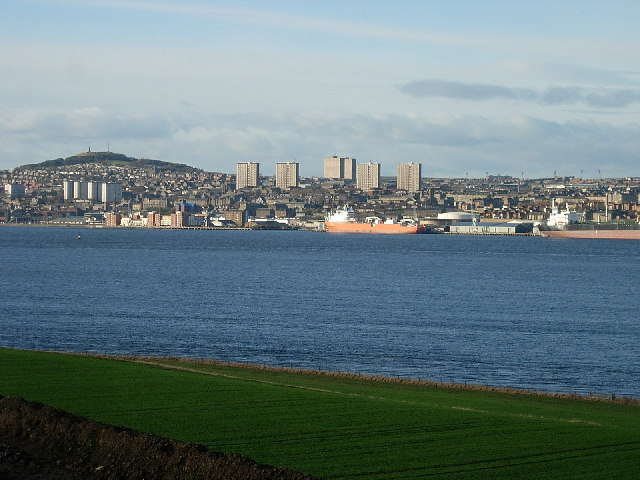
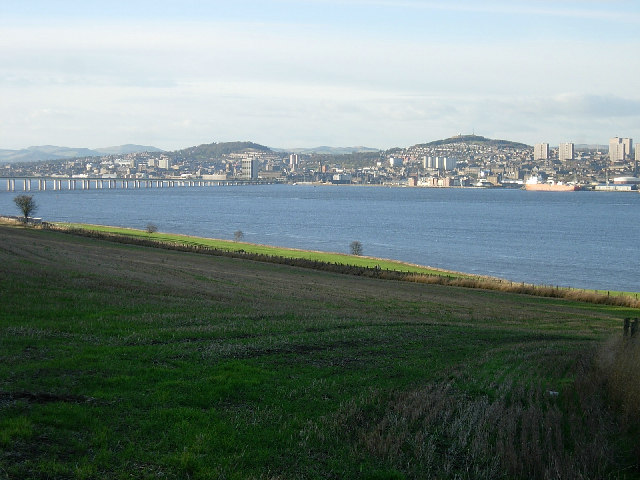
Craig Law Images

Images are sourced within 2km of 56.441676/-2.9086402 or Grid Reference NO4428. Thanks to Geograph Open Source API. All images are credited.

Tayport - West Lighthouse Looking east
Tayport - West Lighthouse
Looking east
Tay Road Bridge Looking north from Fife towards Dundee
Tay Road Bridge
Looking north from Fife towards Dundee
Art Work Looking east. Art work adjacent to Fife end of Tay Road Bridge
Art Work
Looking east. Art work adjacent to Fife end of Tay Road Bridge
Tay Road Bridge and Dundee Opened by the Queen Mother, on 18th August 1966, the Tay Road Bridge crosses the Tay estuary linking Newport in north east Fife with the City of Dundee.
Tay Road Bridge and Dundee
Opened by the Queen Mother, on 18th August 1966, the Tay Road Bridge crosses the Tay estuary linking Newport in north east Fife with the City of Dundee.
Kirkton Barns Arable land, with bales still out on a hillside above Forgan Church.
Kirkton Barns
Arable land, with bales still out on a hillside above Forgan Church.
Newport by-pass. Approach road to the Tay Bridge from the Fife side.  Still a rural view, despite the tendency of towns to fill in up to their by-passes. Taken from the road into Newport-on-Tay looking north to a filling station on the by-pass.
Newport by-pass.
Approach road to the Tay Bridge from the Fife side. Still a rural view, despite the tendency of towns to fill in up to their by-passes. Taken from the road into Newport-on-Tay looking north to a filling station on the by-pass.
Near Inverdovat Fife Autumn scene in North East Fife
Near Inverdovat Fife
Autumn scene in North East Fife
Tree near Tayport A solitary tree in Autumn sunshine.
Tree near Tayport
A solitary tree in Autumn sunshine.
Country road near Tayport View towards the South adjacent to Scotscraig Estate
Country road near Tayport
View towards the South adjacent to Scotscraig Estate
Tayport from the South Stubble field to the South of Tayport in Autumn sunshine
Tayport from the South
Stubble field to the South of Tayport in Autumn sunshine
Dundee The concrete piers supporting the road bridge make an interesting symmetry.
Dundee
The concrete piers supporting the road bridge make an interesting symmetry.
Newport-on-Tay Underpass under Tay road bridge, showing Tay Railway Bridge in background.
Newport-on-Tay
Underpass under Tay road bridge, showing Tay Railway Bridge in background.
Dundee from the south of the Tay estuary This view of Dundee is taken from the B946 between newport and Tayport. The harbour is unusually busy.  The skyline is dominated by Dundee Law with its war memorial on top. 1960s multis break the skyline.
Dundee from the south of the Tay estuary
This view of Dundee is taken from the B946 between newport and Tayport. The harbour is unusually busy. The skyline is dominated by Dundee Law with its war memorial on top. 1960s multis break the skyline.
Dundee and the Tay estuary from Fife The view looks north west across the Tay towards Dundee.  Balgay Hill (left) and Dundee Law (right) dominate the city and the Sidlaws form the distant backdrop.  The Tay Road bridge is also visible.
Dundee and the Tay estuary from Fife
The view looks north west across the Tay towards Dundee. Balgay Hill (left) and Dundee Law (right) dominate the city and the Sidlaws form the distant backdrop. The Tay Road bridge is also visible.
Northfield transmitter Much of Dundee gets its television reception from this transmitter on the Fife side of the Tay estuary
Northfield transmitter
Much of Dundee gets its television reception from this transmitter on the Fife side of the Tay estuary
An old Wreckers Cottage on the edge of the Tay We used to own this property
An old Wreckers Cottage on the edge of the Tay
We used to own this property
Scotscraig Mains Farm Seen from the south
Scotscraig Mains Farm
Seen from the south
Newport beach This was taken very close to the Tay Road Bridge in front of Wreckers Cottage looking towards Tay Street.
Newport beach
This was taken very close to the Tay Road Bridge in front of Wreckers Cottage looking towards Tay Street.
Show me another place!

Craig Law is located at Grid Ref: NO4428 (Lat: 56.441676, Lng: -2.9086402)

Unitary Authority: Fife

Police Authority: Fife

What 3 Words

///treatment.directive.waiters. Near Newport-on-Tay, Fife

Related Wikis

Newport-on-Tay East railway station

Newport-on-Tay East railway station formerly served the town of Newport-on-Tay, Fife, Scotland. The station closed in 1969. == Tayport branch == Newport...

Tayport Castle

Tayport Castle, was a Z plan castle that was located near Tayport, Fife, Scotland. The castle was demolished in the 19th century and no remains above ground...

Tayport

Tayport, also known as Ferry-Port on Craig, is a town and burgh, and parish, in the county of Fife, Scotland, acting as a commuter town for Dundee. The...

Tayport railway station

Tayport railway station served the town of Tayport, Fife, Scotland from 1848 to 1967 on the Newport Railway. == History == The station opened on 17 May...

Newport-on-Tay

Newport-on-Tay is a small town in the north-east of Fife in Scotland, acting as a commuter town for Dundee. The Fife Coastal Path passes through Newport...

Tayport F.C.

Tayport Football Club are a Scottish football club from Tayport, Fife. Formed in 1947, they play their home games at The Canniepairt. Nicknamed the Port...

Lady Leng Memorial Chapel

Lady Leng Memorial Chapel (also known as Vicarsford Cemetery Chapel) is a church building in Leuchars, Fife, Scotland. Built between 1895 and 1897, to...

Newport-on-Tay West railway station

Newport-on-Tay West railway station served the town of Newport-on-Tay, Fife, Scotland, from 1879 to 1969 on the Newport Railway. == History == The station...

Nearby Amenities

Located within 500m of 56.441676,-2.9086402
Hermit's Cave
Natural: cave_entrance
Lat/Long: 56.4406988/-2.9120589
Bishop Sharp's Quarry
Landuse: quarry
Lat/Long: 56.4418343/-2.9123291
The data included in this document is from www.openstreetmap.org. The data is made available under ODbL.

Have you been to Craig Law?

Leave your review of Craig Law below (or comments, questions and feedback).