Hare Law
Hill, Mountain in Fife
Scotland
Hare Law

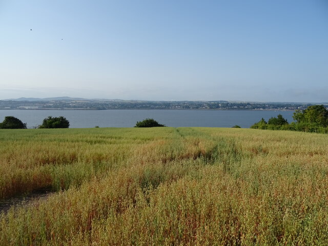
Hare Law is a prominent hill located in Fife, Scotland. Situated near the town of Glenrothes, it is part of the Lomond Hills range which is known for its picturesque landscapes and natural beauty. Hare Law stands at an elevation of approximately 1,155 feet (352 meters) above sea level, making it one of the highest points in the region.
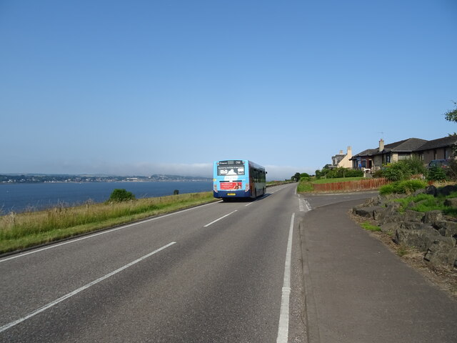
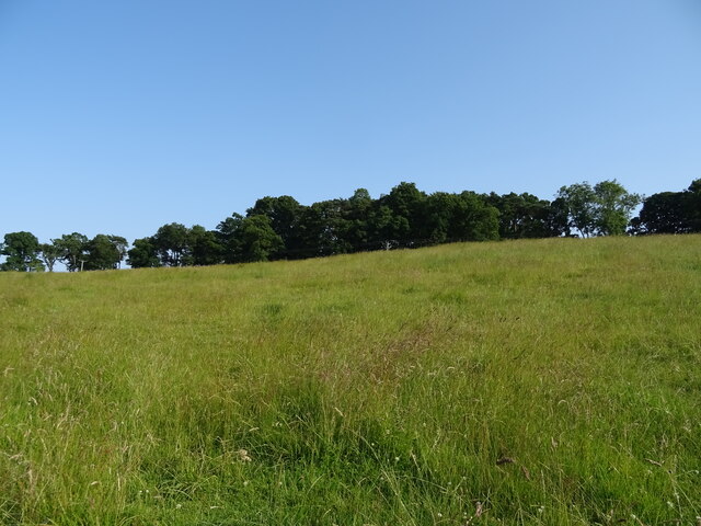
The hill is characterized by its distinctive rounded shape, which is a result of glacial erosion during the last Ice Age. The summit of Hare Law offers breathtaking panoramic views of the surrounding countryside, including the rolling hills, farmland, and nearby towns. On clear days, it is even possible to catch a glimpse of the Firth of Forth and the Pentland Hills.
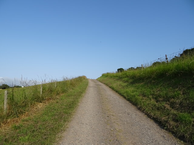
Hare Law is a popular destination for outdoor enthusiasts, including walkers, hikers, and nature lovers. There are several well-marked trails that lead to the summit, providing a range of difficulty levels to cater to different abilities. The hill is also home to an abundance of wildlife, including various bird species and small mammals, making it a perfect spot for birdwatching and wildlife photography.
In addition to its natural beauty, Hare Law holds historical significance. The hill was once used as a beacon site to warn of potential invasions during times of conflict. Today, visitors can still see remnants of the old beacon posts that were used in the past.
Overall, Hare Law in Fife offers a wonderful opportunity to connect with nature, enjoy stunning views, and immerse oneself in the rich history of the area.
If you have any feedback on the listing, please let us know in the comments section below.
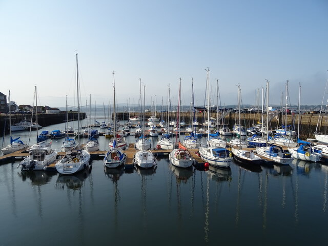
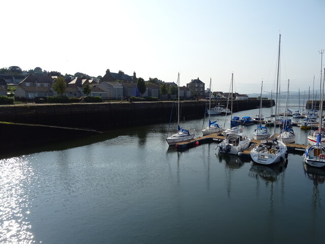
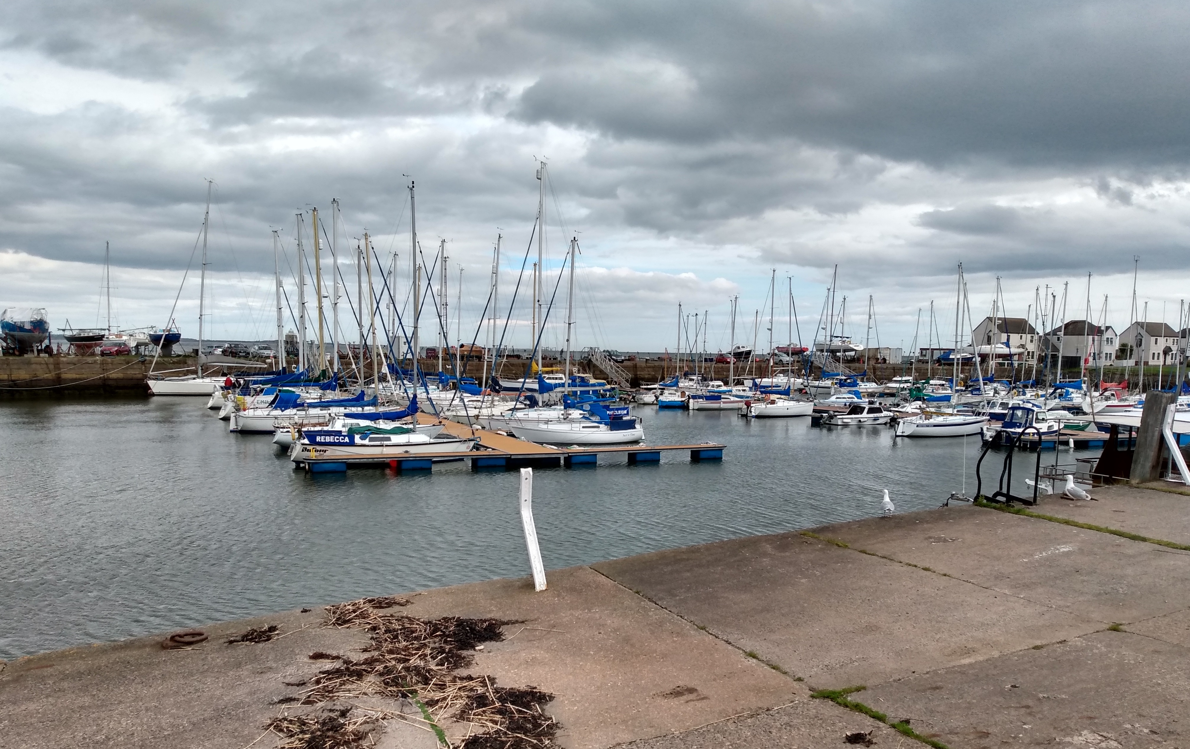
Hare Law Images
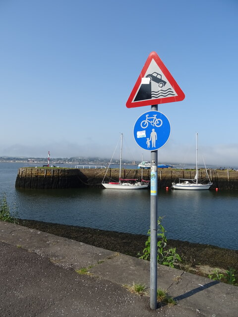
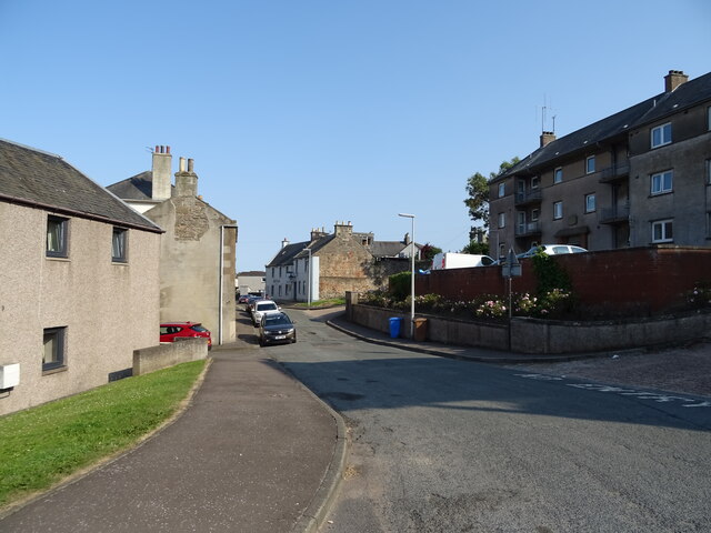
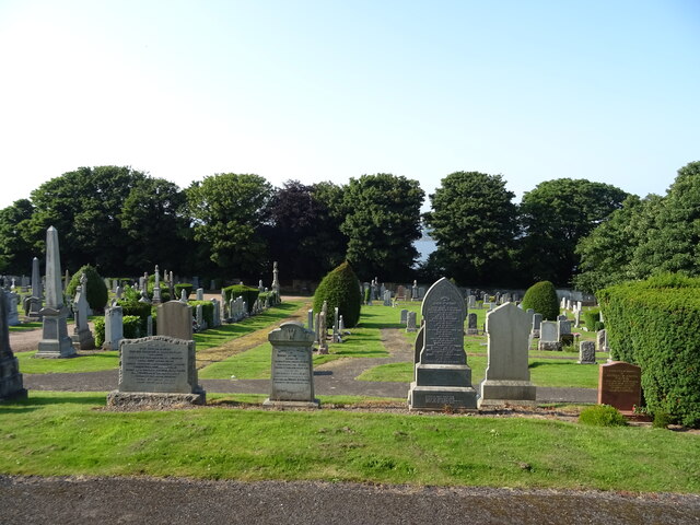
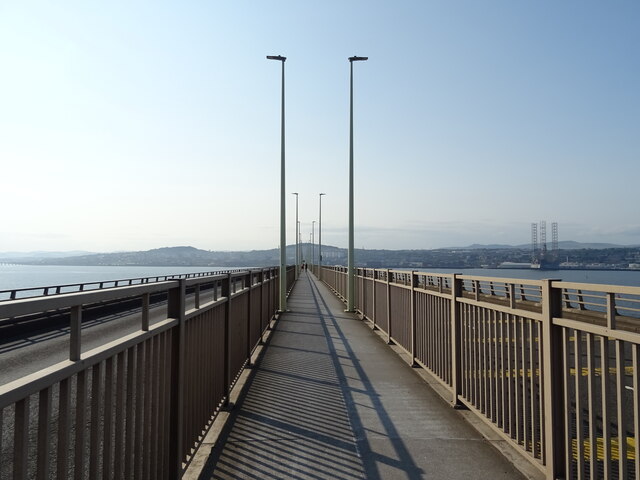
Images are sourced within 2km of 56.447364/-2.9035363 or Grid Reference NO4428. Thanks to Geograph Open Source API. All images are credited.


Hare Law is located at Grid Ref: NO4428 (Lat: 56.447364, Lng: -2.9035363)
Unitary Authority: Fife
Police Authority: Fife
What 3 Words
///nuzzling.alarm.souk. Near Tayport, Fife
Nearby Locations
Related Wikis

Tayport Castle
Tayport Castle, was a Z plan castle that was located near Tayport, Fife, Scotland. The castle was demolished in the 19th century and no remains above ground...

Tayport railway station
Tayport railway station served the town of Tayport, Fife, Scotland from 1848 to 1967 on the Newport Railway. == History == The station opened on 17 May...
Tayport
Tayport, also known as Ferry-Port on Craig, is a town and burgh, and parish, in the county of Fife, Scotland, acting as a commuter town for Dundee. The...

Tayport F.C.
Tayport Football Club are a Scottish football club from Tayport, Fife. Formed in 1947, they play their home games at The Canniepairt. Nicknamed the Port...
Nearby Amenities
Located within 500m of 56.447364,-2.9035363Have you been to Hare Law?
Leave your review of Hare Law below (or comments, questions and feedback).