Hill of Ogil

Hill, Mountain in Angus

Scotland

Hill of Ogil

Tree covered hillock Looking west from the Glenogil road to a hillock covered in woodland near the Den of Ogil.
Tree covered hillock Credit: Scott Cormie

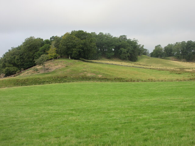
Hill of Ogil is a prominent hill located in the Angus region of Scotland. Standing at an elevation of 229 meters (751 feet), it offers stunning panoramic views of the surrounding countryside and is a popular destination for hikers and nature enthusiasts.

The hill is characterized by its gentle slopes and grassy terrain, making it relatively easy to climb for individuals of all ages and fitness levels. It is also home to a variety of flora and fauna, including heather, gorse, and a range of bird species.

At the summit of Hill of Ogil, visitors can enjoy breathtaking views of the surrounding countryside, including the nearby towns of Brechin and Montrose, as well as the rolling hills and farmland that make up the landscape of Angus.

Overall, Hill of Ogil is a peaceful and picturesque location that offers a chance to escape the hustle and bustle of everyday life and immerse oneself in the natural beauty of the Scottish countryside.

If you have any feedback on the listing, please let us know in the comments section below.
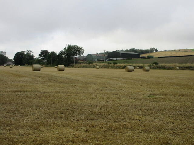
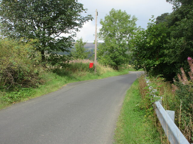
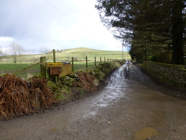
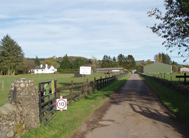
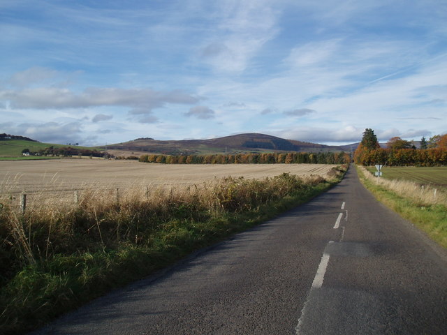
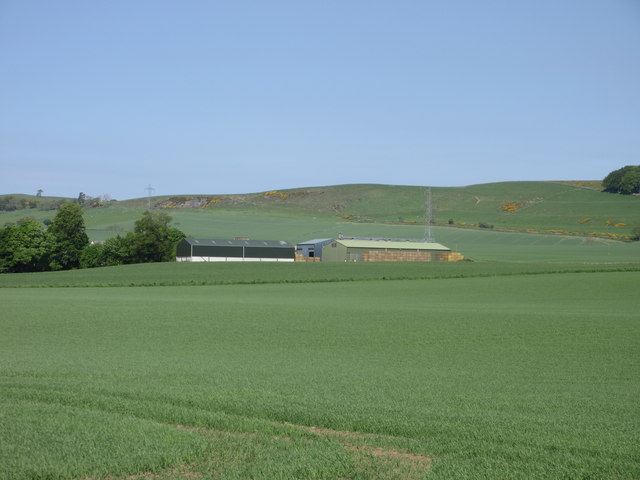
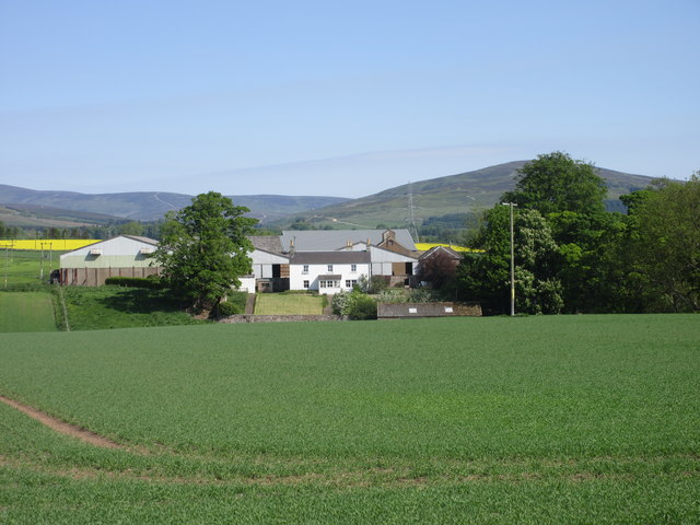
Hill of Ogil Images

Images are sourced within 2km of 56.738517/-2.9157767 or Grid Reference NO4461. Thanks to Geograph Open Source API. All images are credited.

Tree covered hillock Looking west from the Glenogil road to a hillock covered in woodland near the Den of Ogil.
Tree covered hillock
Looking west from the Glenogil road to a hillock covered in woodland near the Den of Ogil.
Bales at the Mains of Ogil Looking south to a harvested field with bales, with the Mains of Ogil beyond.
Bales at the Mains of Ogil
Looking south to a harvested field with bales, with the Mains of Ogil beyond.
Postbox at Ogil Postbox on the roadside near the site of the old telephone box at Ogil.
Postbox at Ogil
Postbox on the roadside near the site of the old telephone box at Ogil.
Muddy track To Cowhillock.
Muddy track
To Cowhillock.
Mountains Animal Sanctuary at Milton of Ogil
Minor road at Milton of Ogil
Derachie Farm Farm outbuildings at Derachie, with the Hill of Ogil beyond.
Derachie Farm
Farm outbuildings at Derachie, with the Hill of Ogil beyond.
Derachie Farmhouse The white-washed farmhouse at Derachie, with Glen Ogil in the distance.
Derachie Farmhouse
The white-washed farmhouse at Derachie, with Glen Ogil in the distance.
Anglers' Boats The Den of Ogil is a small but pretty reservoir which is popular with local anglers.  Spring flowers are in abundance round its south shore.
Anglers' Boats
The Den of Ogil is a small but pretty reservoir which is popular with local anglers. Spring flowers are in abundance round its south shore.
Farmland beside Derachie Farm
Potato field, Derachie Defoliated and awaiting harvesting.
Potato field, Derachie
Defoliated and awaiting harvesting.
A newly cultivated field Near Denside Crossroads.
A newly cultivated field
Near Denside Crossroads.
A large field, Derachie Looking a long way towards Derachie.
A large field, Derachie
Looking a long way towards Derachie.
Fields by Derachie Fields by the road to Denside Cross Roads by Derachie
Fields by Derachie
Fields by the road to Denside Cross Roads by Derachie
Strone Farm
Strone Farm
Strone Farm
Strone Farm
Field of oilseed rape at Denside Crossroads Surprisingly late in the season.
Field of oilseed rape at Denside Crossroads
Surprisingly late in the season.
Derachie Farm Field of wheat to the left, pasture to the right. The edge of the Highlands in the background.
Derachie Farm
Field of wheat to the left, pasture to the right. The edge of the Highlands in the background.
Show me another place!

Hill of Ogil is located at Grid Ref: NO4461 (Lat: 56.738517, Lng: -2.9157767)

Unitary Authority: Angus

Police Authority: Tayside

What 3 Words

///power.popped.positives. Near Kirriemuir, Angus

Nearby Locations

Hill of Ogil

Related Wikis

Memus

Memus is a small village in Angus, Scotland, north of Kirriemuir. It is home to the Drovers Pub. A story is told of a kelpie at Shielhill Bridge, leaving...

Noranside

Noranside is a hamlet in Angus, Scotland, located at 56° 44' 0" North, 2° 52' 0" West,. The prison HMP Noranside was operated there from 1966 to 2011....

Auchnacree

Auchnacree is an estate in Angus, Scotland, five miles north of Forfar.In 1921 the estate overseer, Mr Frank Rae, discovered what is now called the Auchnacree...

Inverquharity

Inverquharity is a Roman fortlet in Scotland, close to the Highland Line about 5 miles (8 km) north of Kirriemuir, Angus. Although very little archaeological...

Nearby Amenities

Located within 500m of 56.738517,-2.9157767
Hill of Ogil
Ele: 260
Natural: peak
Lat/Long: 56.7378903/-2.9164799
The data included in this document is from www.openstreetmap.org. The data is made available under ODbL.

Have you been to Hill of Ogil?

Leave your review of Hill of Ogil below (or comments, questions and feedback).