Crookston North Mains Hill

Hill, Mountain in Midlothian

Scotland

Crookston North Mains Hill

Borders Railway, Heriot The 1745 from Tweedbank to Edinburgh Waverley approaches the site of Heriot Station on the day passenger services resumed on the northern third of the Waverley Line. As soon as I took this, I put down my camera and clapped. Looking forward to travelling on the line soon, but don't expect shots from the train!
Borders Railway, Heriot Credit: Richard Webb

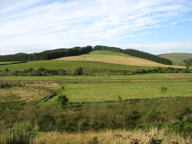
Crookston North Mains Hill, located in Midlothian, Scotland, is a prominent hill that offers stunning panoramic views of the surrounding countryside. Standing at an elevation of approximately 200 meters, the hill is a popular destination for hikers and outdoor enthusiasts looking to explore the natural beauty of the area.

The hill is characterized by its rolling green slopes and rocky outcroppings, which provide a challenging yet rewarding hiking experience. Visitors can expect to encounter a variety of flora and fauna as they make their way to the summit, including heather, gorse, and various species of birds.

At the top of Crookston North Mains Hill, hikers are treated to breathtaking views of the Pentland Hills to the south and the Firth of Forth to the north. On a clear day, it is possible to see all the way to Edinburgh and beyond.

Overall, Crookston North Mains Hill is a must-visit destination for those looking to experience the beauty of the Scottish countryside and enjoy a challenging hike with rewarding views.

If you have any feedback on the listing, please let us know in the comments section below.

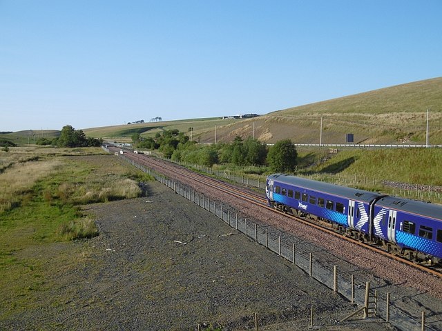
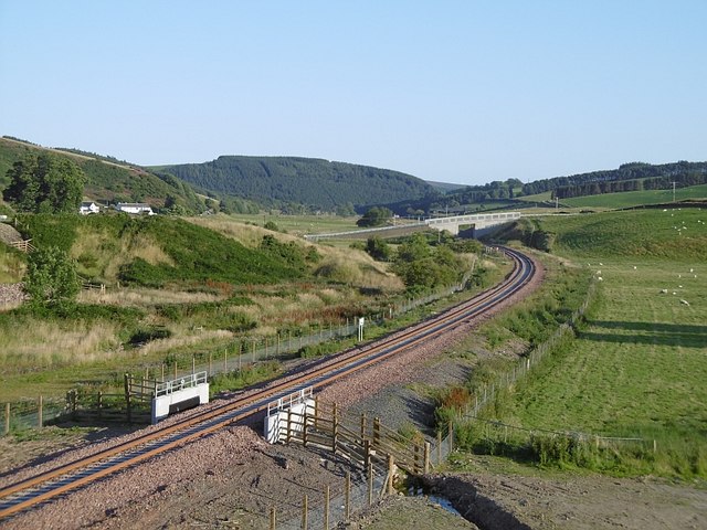
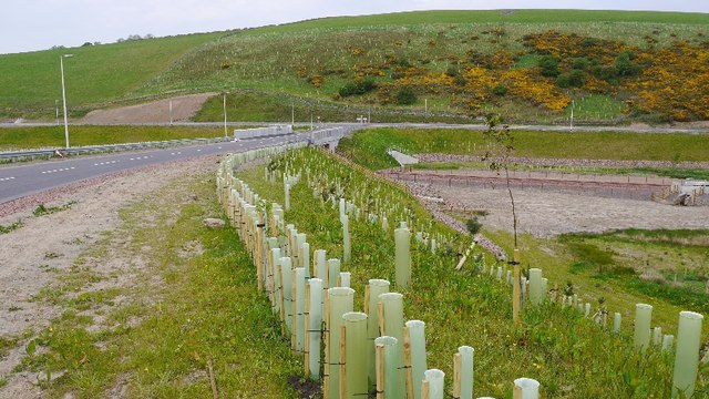
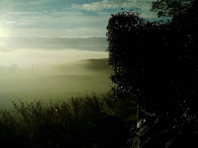
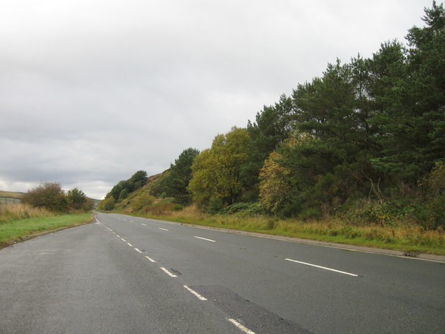
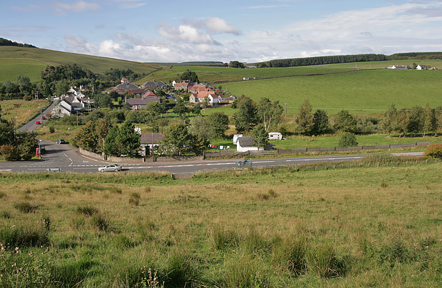
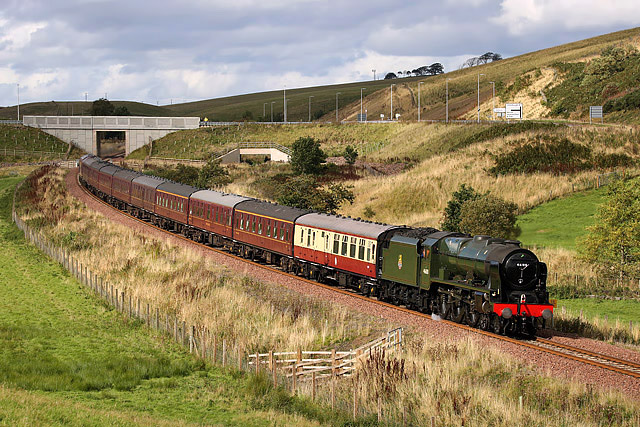
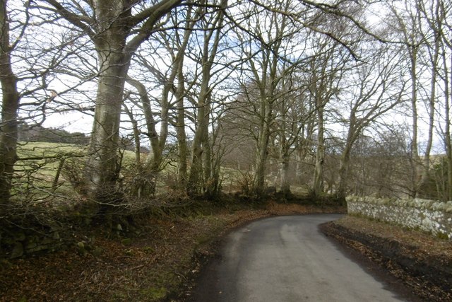
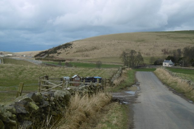
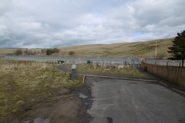
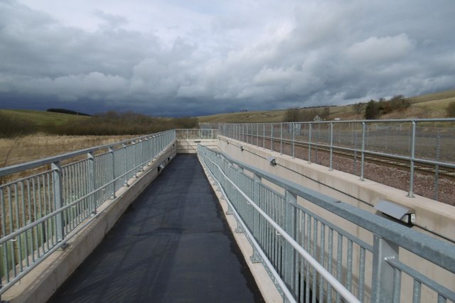
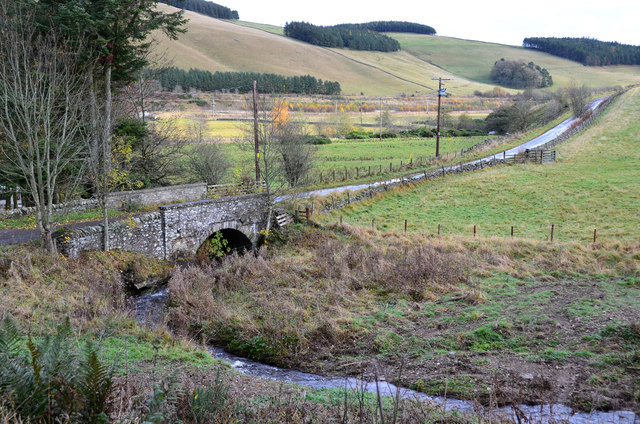
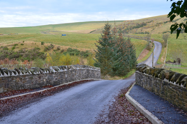
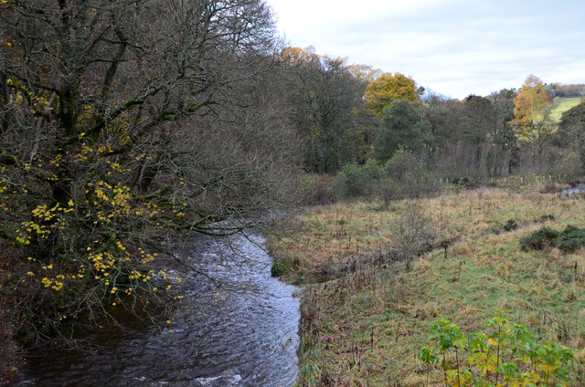
Crookston North Mains Hill Images

Images are sourced within 2km of 55.7784/-2.9299853 or Grid Reference NT4154. Thanks to Geograph Open Source API. All images are credited.

Borders Railway, Heriot The 1745 from Tweedbank to Edinburgh Waverley approaches the site of Heriot Station on the day passenger services resumed on the northern third of the Waverley Line. As soon as I took this, I put down my camera and clapped. Looking forward to travelling on the line soon, but don't expect shots from the train!
Borders Railway, Heriot
The 1745 from Tweedbank to Edinburgh Waverley approaches the site of Heriot Station on the day passenger services resumed on the northern third of the Waverley Line. As soon as I took this, I put down my camera and clapped. Looking forward to travelling on the line soon, but don't expect shots from the train!
Border Railway near Heriot On opening day, looking southwards. The railway was closed between 1969 and 2015 and remains closed south of Tweedbank.
Border Railway near Heriot
On opening day, looking southwards. The railway was closed between 1969 and 2015 and remains closed south of Tweedbank.
New road, Heriot A bridge has been built south of the old level crossing site at Heriot. There is now a pedestrian underpass there. The railway reopened on the 6th September 2015. <a href="https://www.geograph.org.uk/photo/4648382">NT4054 : Borders Railway, Heriot</a>
New road, Heriot
A bridge has been built south of the old level crossing site at Heriot. There is now a pedestrian underpass there. The railway reopened on the 6th September 2015. NT4054 : Borders Railway, Heriot
Mist blanketing Gala Valley South of Heriot
Country road
Country road
A7 lay-by
A7 lay-by
A rough grazing field at Heriot This is on the lower western slopes of Hangingshall Hill looking along to the A7 and the dismantled Waverley Railway line on the left. The line was reinstated as the Borders Railway in 2015.
A rough grazing field at Heriot
This is on the lower western slopes of Hangingshall Hill looking along to the A7 and the dismantled Waverley Railway line on the left. The line was reinstated as the Borders Railway in 2015.
Heriot by the A7 This was taken in 2010 when access to the village from the A7 was at this location. Since the reinstatement of the Borders Railway in 2015, the access from the A7 is now approximately 400m to the south <a href="https://www.geograph.org.uk/photo/4609028">NT4054 : New road bridge and junction, Heriot</a>.
Heriot by the A7
This was taken in 2010 when access to the village from the A7 was at this location. Since the reinstatement of the Borders Railway in 2015, the access from the A7 is now approximately 400m to the south NT4054 : New road bridge and junction, Heriot.
A steam special on the Borders Railway at Hangingshaw The steam locomotive Royal Scot is being hauled back to Edinburgh by a vintage diesel.
A steam special on the Borders Railway at Hangingshaw
The steam locomotive Royal Scot is being hauled back to Edinburgh by a vintage diesel.
Chapel Hill The recently reopened Borders Railway crosses the centre of this picture.
Chapel Hill
The recently reopened Borders Railway crosses the centre of this picture.
Yellow road, Kilcoulter Approach to Kilcoulter Bridge, heading northwards.
Yellow road, Kilcoulter
Approach to Kilcoulter Bridge, heading northwards.
Road south of Heriot The white house by the A7 used to have a shop and filling station.
<a href="https://www.geograph.org.uk/photo/38033">NT4053 : Hangingshaw Post Office.</a>
Road south of Heriot
The white house by the A7 used to have a shop and filling station. NT4053 : Hangingshaw Post Office.
Level crossing site, Heriot There was a level crossing here until the railway was closed in 1969. Now the B709 crosses by a bridge to the south but there is a subway provided for the non motorised.
Level crossing site, Heriot
There was a level crossing here until the railway was closed in 1969. Now the B709 crosses by a bridge to the south but there is a subway provided for the non motorised.
Borders railway, Heriot There was a level crossing here until the railway was closed in 1969. Now the B709 crosses by a bridge to the south but there is a subway provided for the non motorised.
Borders railway, Heriot
There was a level crossing here until the railway was closed in 1969. Now the B709 crosses by a bridge to the south but there is a subway provided for the non motorised.
Subway ramp, Heriot There was a level crossing here until the railway was closed in 1969. Now the B709 crosses by a bridge to the south but there is a subway provided for the non motorised.
Subway ramp, Heriot
There was a level crossing here until the railway was closed in 1969. Now the B709 crosses by a bridge to the south but there is a subway provided for the non motorised.
Chapel Bridge, Kilcoulter Old maps (e.g. OS 6" Edinburghshire sheet XXI.SW 1895) show Halltree Chapel a short distance to the south on Chapel Hill. The bridge carries the Fountainhall road across the Corsehope Burn.
Chapel Bridge, Kilcoulter
Old maps (e.g. OS 6" Edinburghshire sheet XXI.SW 1895) show Halltree Chapel a short distance to the south on Chapel Hill. The bridge carries the Fountainhall road across the Corsehope Burn.
Refurbished Kilcoulter Bridge The stone bridge carries the Heriot to Fountainhall road over the Heriot Water and has clearly undergone maintenance work recently. Compare with Mike Richardson's photograph <a href="https://www.geograph.org.uk/photo/3946067">NT4052 : Kilcoulter Bridge</a>.
Refurbished Kilcoulter Bridge
The stone bridge carries the Heriot to Fountainhall road over the Heriot Water and has clearly undergone maintenance work recently. Compare with Mike Richardson's photograph NT4052 : Kilcoulter Bridge.
Heriot Water from Kilcoulter Bridge Looking upstream past Kilcoulter Wood.
Heriot Water from Kilcoulter Bridge
Looking upstream past Kilcoulter Wood.
Show me another place!

Crookston North Mains Hill is located at Grid Ref: NT4154 (Lat: 55.7784, Lng: -2.9299853)

Unitary Authority: The Scottish Borders

Police Authority: The Lothians and Scottish Borders

What 3 Words

///signal.cricket.gathering. Near Gorebridge, Midlothian

Related Wikis

Borders Railway

The Borders Railway connects the city of Edinburgh with Galashiels and Tweedbank in the Scottish Borders. The railway follows most of the alignment of...

Heriot railway station

Heriot railway station served the village of Heriot, Scottish Borders, Scotland from 1848 to 1969 on the Waverley Route. == History == The station opened...

Halltree

Halltree is a hamlet in the Scottish Borders. == Etymology == The etymology of Halltree is debated, but the second element is likely to be a Cumbric word...

Heriot, Scottish Borders

Heriot is a small village in the Moorfoot Hills southeast of Edinburgh, Scotland, within Eildon (part of the Scottish Borders council area, though historically...

Nearby Amenities

Located within 500m of 55.7784,-2.9299853
Crookston Mains Hill
Natural: peak
Lat/Long: 55.7778839/-2.929622
The data included in this document is from www.openstreetmap.org. The data is made available under ODbL.

Have you been to Crookston North Mains Hill?

Leave your review of Crookston North Mains Hill below (or comments, questions and feedback).