Hangingshaw Hill
Hill, Mountain in Midlothian
Scotland
Hangingshaw Hill
Hangingshaw Hill is a prominent geographical feature located in Midlothian, a historic county in Scotland. Situated just south of the town of Penicuik, this hill is a part of the picturesque Pentland Hills range, which stretches across the southern outskirts of Edinburgh.
Rising to an elevation of approximately 442 meters (1,450 feet), Hangingshaw Hill offers stunning panoramic views of the surrounding landscape. The hill's summit is accessible by various walking routes and trails, making it a popular destination for outdoor enthusiasts and hikers. Its well-maintained paths provide a relatively moderate ascent, suitable for a range of fitness levels.
The hill is covered in heather and grasses, providing a haven for local wildlife including birds, insects, and small mammals. The diverse flora and fauna make Hangingshaw Hill an attractive spot for nature lovers and birdwatchers, who may catch a glimpse of species such as red grouse, skylarks, and kestrels.
Additionally, Hangingshaw Hill holds historical significance. The name itself is believed to originate from its association with gallows or hangings that took place in the area during ancient times. While the exact historical context remains unclear, the name serves as a reminder of the hill's intriguing past.
Overall, Hangingshaw Hill in Midlothian offers a pleasant outdoor experience, combining natural beauty, wildlife, and a touch of local history. Its accessibility and stunning views make it a popular destination for both locals and visitors seeking to immerse themselves in Scotland's captivating landscape.
If you have any feedback on the listing, please let us know in the comments section below.
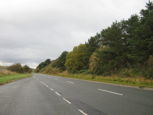
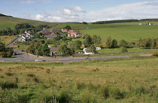
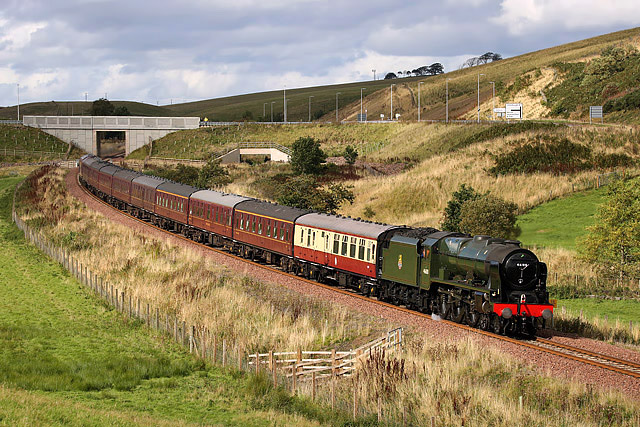
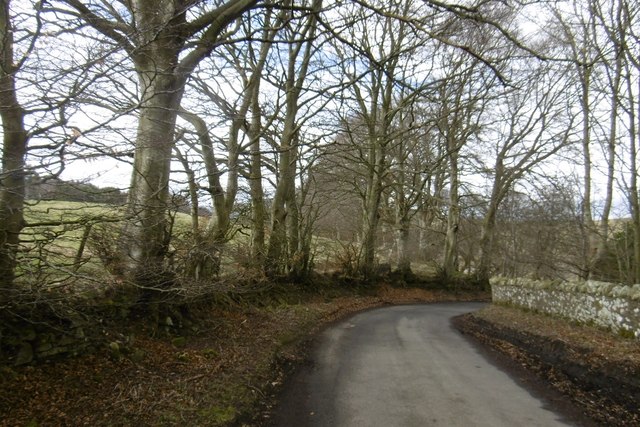
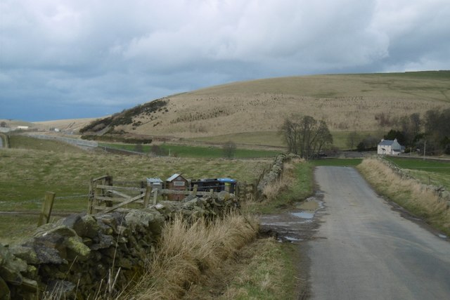
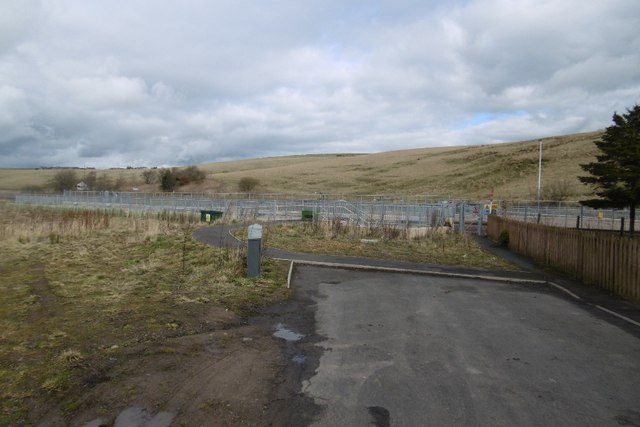
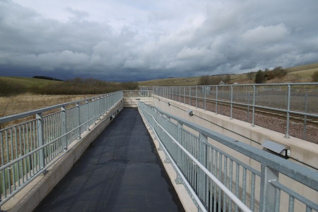
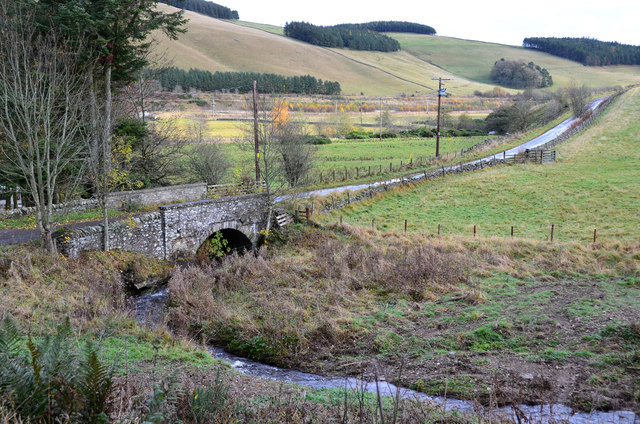
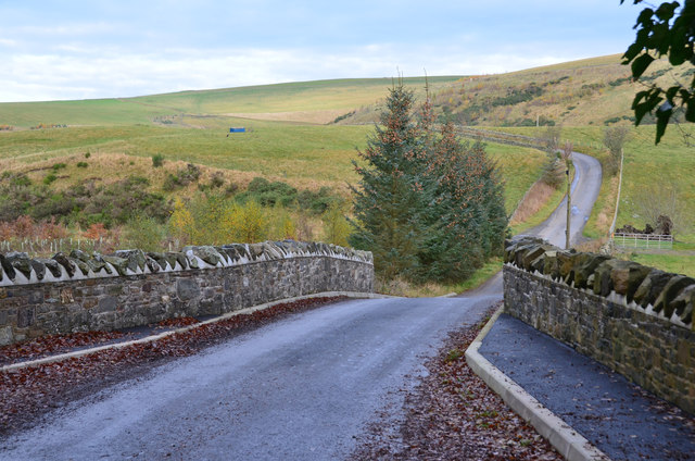
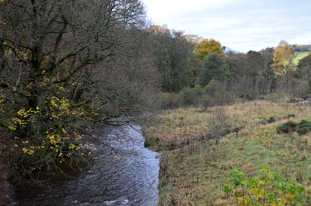
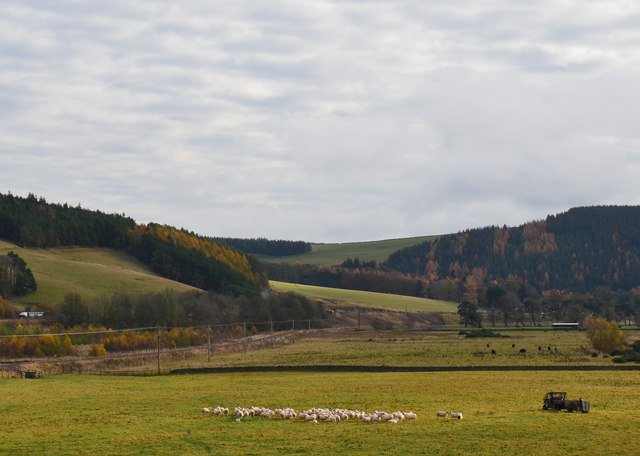
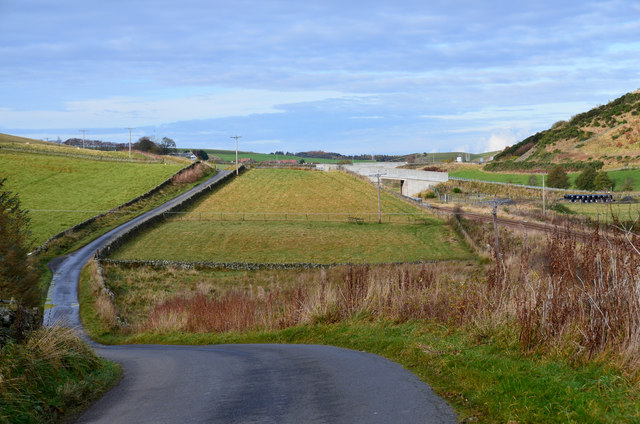
Hangingshaw Hill Images
Images are sourced within 2km of 55.781502/-2.9368197 or Grid Reference NT4154. Thanks to Geograph Open Source API. All images are credited.


Hangingshaw Hill is located at Grid Ref: NT4154 (Lat: 55.781502, Lng: -2.9368197)
Unitary Authority: The Scottish Borders
Police Authority: The Lothians and Scottish Borders
What 3 Words
///player.afflicted.putts. Near Gorebridge, Midlothian
Nearby Locations
Related Wikis

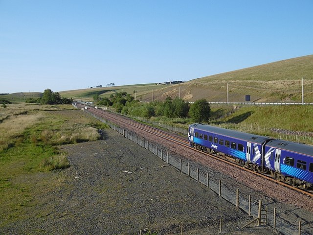
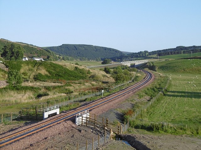
Borders Railway
The Borders Railway connects the city of Edinburgh with Galashiels and Tweedbank in the Scottish Borders. The railway follows most of the alignment of...

Heriot railway station
Heriot railway station served the village of Heriot, Scottish Borders, Scotland from 1848 to 1969 on the Waverley Route. == History == The station opened...

Halltree
Halltree is a hamlet in the Scottish Borders. == Etymology == The etymology of Halltree is debated, but the second element is likely to be a Cumbric word...

Heriot, Scottish Borders
Heriot is a small village in the Moorfoot Hills southeast of Edinburgh, Scotland, within Eildon (part of the Scottish Borders council area, though historically...
Nearby Amenities
Located within 500m of 55.781502,-2.9368197Have you been to Hangingshaw Hill?
Leave your review of Hangingshaw Hill below (or comments, questions and feedback).