Burnt Hill
Hill, Mountain in Angus
Scotland
Burnt Hill
Burnt Hill is a prominent hill located in the Angus region of Scotland. It is part of the Sidlaw Hills range and stands at an elevation of approximately 295 meters (968 feet) above sea level. The hill is characterized by its distinctive burnt orange color, which is believed to be caused by the presence of iron-rich minerals in the soil.
Burnt Hill is a popular destination for hikers and outdoor enthusiasts, offering stunning panoramic views of the surrounding countryside and coastline. The hill is also home to a variety of wildlife, including red deer, birds of prey, and rare plant species.
The hill is easily accessible by foot, with a network of well-marked hiking trails leading to the summit. At the top, visitors can enjoy a peaceful picnic or simply take in the breathtaking scenery.
Overall, Burnt Hill is a must-visit destination for those looking to experience the natural beauty and tranquility of the Scottish countryside. Whether you're an avid hiker or simply looking for a peaceful escape from the hustle and bustle of everyday life, Burnt Hill has something to offer for everyone.
If you have any feedback on the listing, please let us know in the comments section below.
Burnt Hill Images
Images are sourced within 2km of 56.88917/-2.9575874 or Grid Reference NO4177. Thanks to Geograph Open Source API. All images are credited.


![Glenlee cottage Abandoned, boarded up, and with some slates missing from the roof, one wonders if this little building is in terminal decline. Previous 'geograph' contributors have shown the building almost surrounded by mature conifers, but these have gone, to be replaced by a mix of both broadleaf [rowan, birch, oak etc] and conifer. Workers who had been bracken bashing inside the fenced off area reported a multitude of ticks [nasty] and a couple of adders [interesting].](https://s3.geograph.org.uk/geophotos/06/97/75/6977503_a00299eb.jpg)


Burnt Hill is located at Grid Ref: NO4177 (Lat: 56.88917, Lng: -2.9575874)
Unitary Authority: Angus
Police Authority: Tayside
What 3 Words
///written.haggling.valuables. Near Ballater, Aberdeenshire
Nearby Locations
Related Wikis

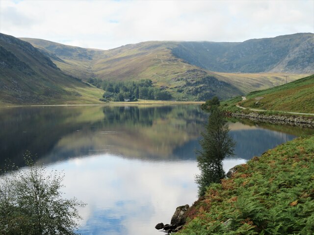
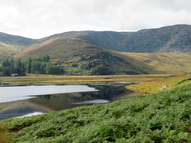
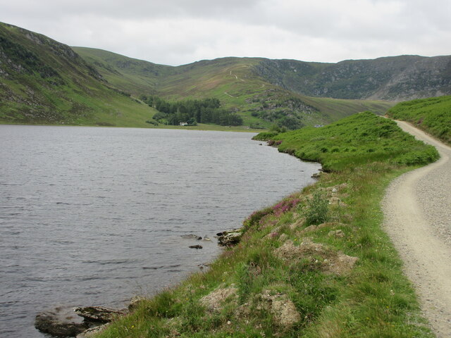
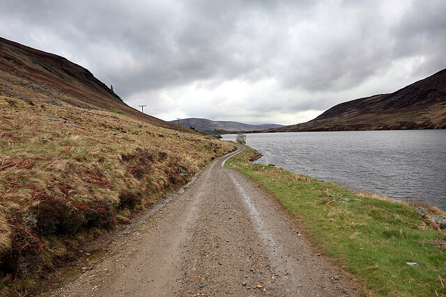
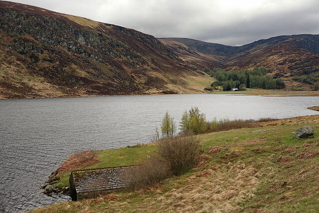
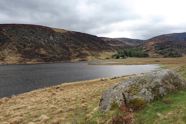
Loch Lee
National grid reference NO431800 Loch Lee is a loch in Angus, Scotland south of the Grampian Mountains that is fed by the Water of Lee and the Water of...

Invermark Lodge
Invermark Lodge is a hunting lodge which was built near Invermark Castle in 1852 for John Ramsay, 13th Earl of Dalhousie. It is now a listed building...

Falls of Damff
Falls of Damff is a waterfall in Cairngorms National Park in Scotland. == See also == Waterfalls of Scotland == References ==

Invermark Castle
Invermark Castle is an oblong tower house dating from the 16th century, at the east of Loch Lee, Angus, Scotland. It is near the head of Glen Esk. ��2...
Nearby Amenities
Located within 500m of 56.88917,-2.9575874Have you been to Burnt Hill?
Leave your review of Burnt Hill below (or comments, questions and feedback).