Yapsel Bank

Hill, Mountain in Shropshire

England

Yapsel Bank

MTB riders at Asterton crossroads Participants in the 2012 MTB Marathon event, who have recently descended the Mynd and are now about to head offroad again along the narrow (and very muddy) unsurfaced track that leads in the general direction of Coates.
MTB riders at Asterton crossroads Credit: Richard Law

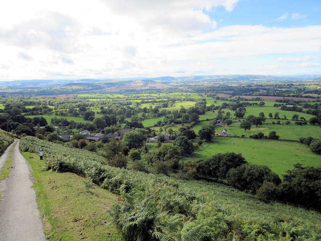
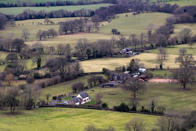
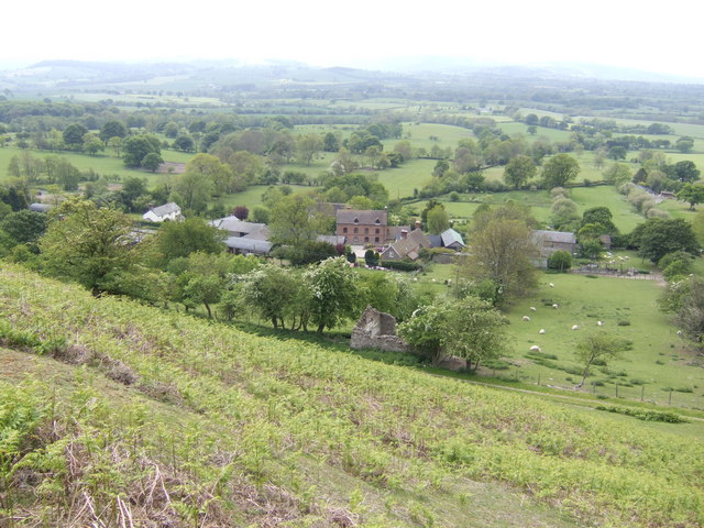
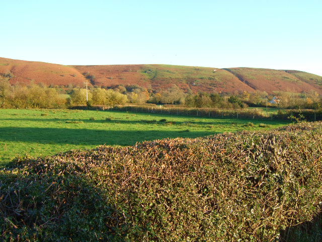
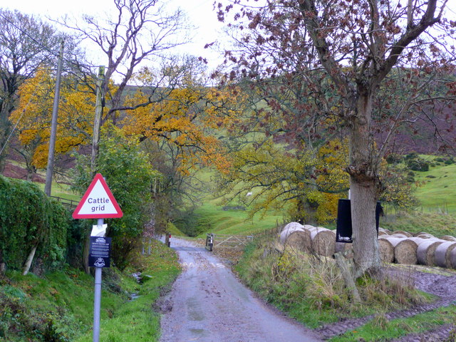
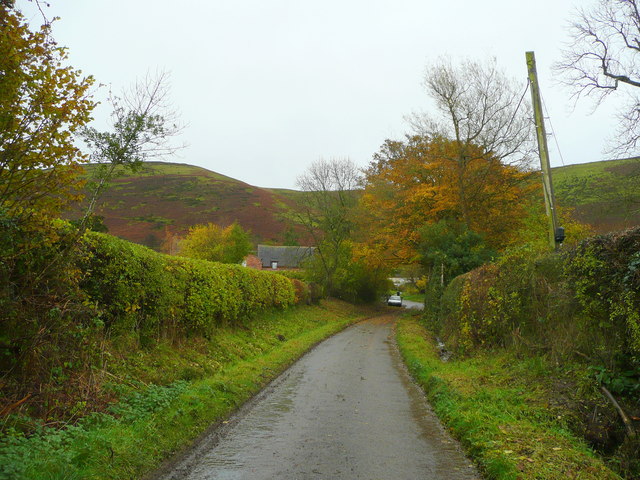
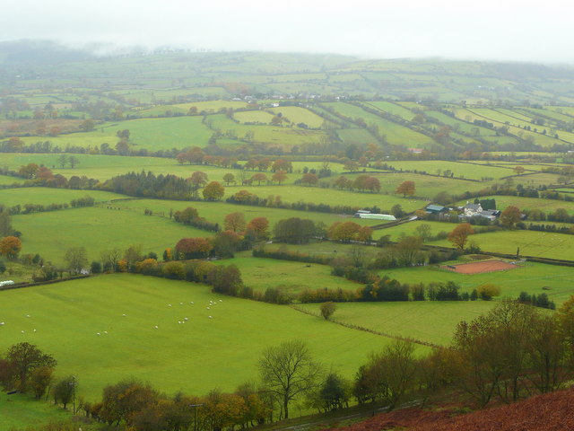
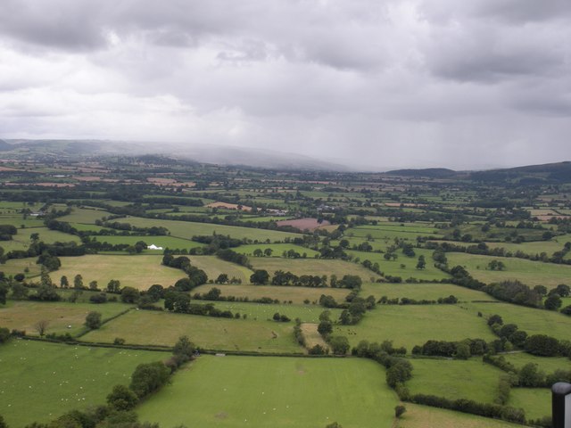
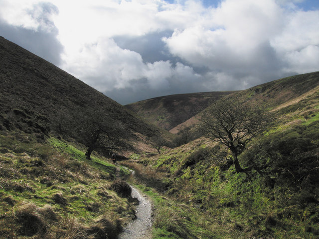
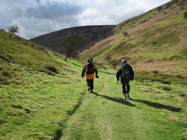
Yapsel Bank is a prominent hill located in Shropshire, England. It is situated in the picturesque countryside, surrounded by lush green fields and rolling hills. Standing at an elevation of approximately 400 meters, Yapsel Bank offers stunning panoramic views of the surrounding landscapes, making it a popular destination for hikers, nature enthusiasts, and photographers.

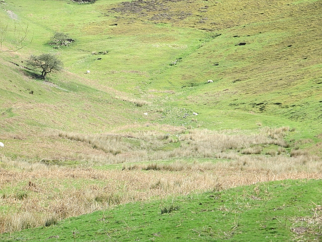
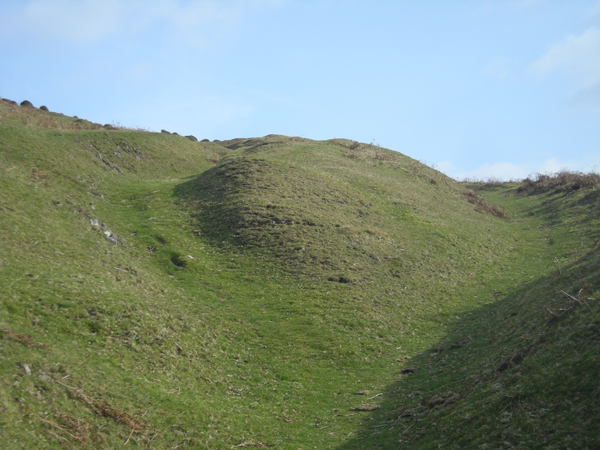
The hill is known for its distinctive shape, characterized by its steep slopes and a flat, plateau-like top. Its unique topography attracts adventure seekers looking for a challenging climb and rewarding vistas at the summit. The hill is covered in a variety of vegetation, including grasses, shrubs, and small trees, providing a habitat for various wildlife species.

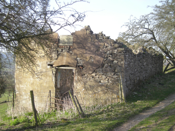
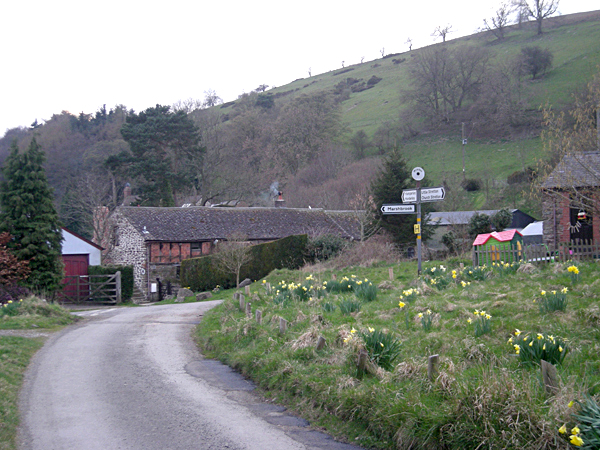
Yapsel Bank is also rich in history and has been an important landmark in the region for centuries. It is believed that the hill was used as a strategic vantage point during ancient times, offering a clear view of the surrounding area. Archaeological evidence suggests that the hill was also used as a burial site during the Iron Age, further highlighting its significance in the area's history.

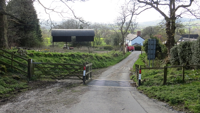
Today, Yapsel Bank is a popular destination for outdoor activities such as hiking, picnicking, and birdwatching. The hill is easily accessible by foot, with several trails and footpaths leading to the top. Visitors can enjoy the breathtaking views of the Shropshire countryside and immerse themselves in the natural beauty of the area.

If you have any feedback on the listing, please let us know in the comments section below.
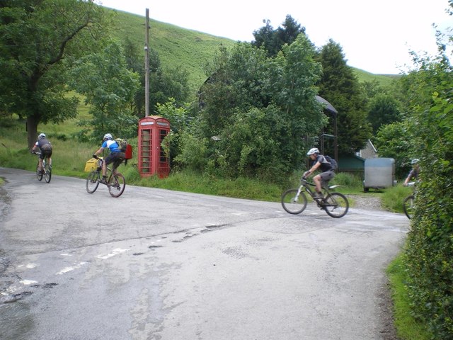
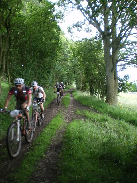
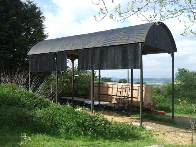
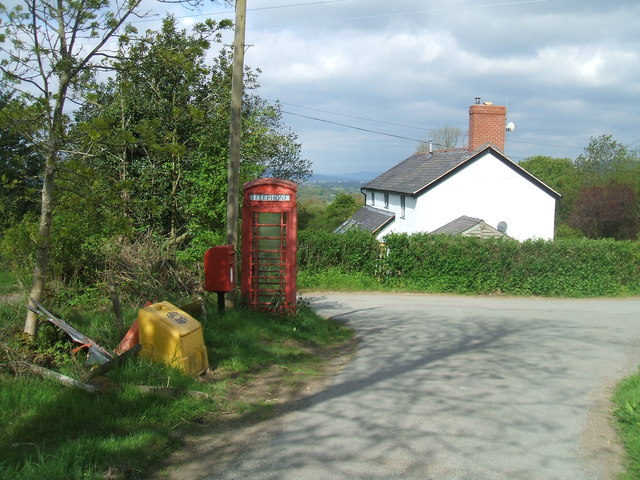
Yapsel Bank Images

Images are sourced within 2km of 52.522033/-2.8643278 or Grid Reference SO4191. Thanks to Geograph Open Source API. All images are credited.

MTB riders at Asterton crossroads Participants in the 2012 MTB Marathon event, who have recently descended the Mynd and are now about to head offroad again along the narrow (and very muddy) unsurfaced track that leads in the general direction of Coates.
MTB riders at Asterton crossroads
Participants in the 2012 MTB Marathon event, who have recently descended the Mynd and are now about to head offroad again along the narrow (and very muddy) unsurfaced track that leads in the general direction of Coates.
MTB riders on the west side of the Mynd Part of the narrow (and normally muddy) track that runs along the lower side of the Mynd between Asterton and Medlicott. This part of it is unsurfaced - the northern end is metalled.
MTB riders on the west side of the Mynd
Part of the narrow (and normally muddy) track that runs along the lower side of the Mynd between Asterton and Medlicott. This part of it is unsurfaced - the northern end is metalled.
Open Barn in Asterton village
Asterton Crossroads
Asterton Crossroads
Asterton from Port Way
Reentrant above Myndtown Sheep graze on steep slopes on the west side of the Long Mynd.
Reentrant above Myndtown
Sheep graze on steep slopes on the west side of the Long Mynd.
Cattle grid, Asterton At the foot of the exposed road descending from the Long Mynd.
Cattle grid, Asterton
At the foot of the exposed road descending from the Long Mynd.
Blacksmith's Cottage
Asterton and the Clun Forest View from just about the steepest public road in the midlands!
Asterton and the Clun Forest
View from just about the steepest public road in the midlands!
Farmland at  Prolley Moor Fields at Asterton Prolley Moor, with Long Mynd in the background
Farmland at Prolley Moor
Fields at Asterton Prolley Moor, with Long Mynd in the background
The Mynd road out of Asterton I admit to some trepidation as this is one of the steepest, narrowest roads I've driven, with a sheer drop on one side and very few passing places. See <a href="https://www.geograph.org.uk/photo/1043827">SO4091 : Not for the faint-hearted 1</a> and <a href="https://www.geograph.org.uk/photo/1043834">SO4091 : Not for the faint-hearted 2</a>.
The Mynd road out of Asterton
I admit to some trepidation as this is one of the steepest, narrowest roads I've driven, with a sheer drop on one side and very few passing places. See SO4091 : Not for the faint-hearted 1 and SO4091 : Not for the faint-hearted 2.
Approaching Asterton From the west.
Approaching Asterton
From the west.
View from the Long Mynd Looking west-north-west across Asterton Prolley Moor with Wentnor on its hill in the middle distance.
The property to the right is The Poplars.
View from the Long Mynd
Looking west-north-west across Asterton Prolley Moor with Wentnor on its hill in the middle distance. The property to the right is The Poplars.
Shower approaching This photo was taken on 11/8/08. From the Port Way road on the west side of the Long Mynd looking towards Wales. You can see a shower approaching. I was riding my bicycle from Wellington to Knighton and met the shower at Bishop's Castle.
What a summer we had! 
The white object is a Marquee, that was being taken down.
Shower approaching
This photo was taken on 11/8/08. From the Port Way road on the west side of the Long Mynd looking towards Wales. You can see a shower approaching. I was riding my bicycle from Wellington to Knighton and met the shower at Bishop's Castle. What a summer we had! The white object is a Marquee, that was being taken down.
It's a long slog up to the top Footpath on the windward side of The Long Mynd.
It's a long slog up to the top
Footpath on the windward side of The Long Mynd.
Derelict 'Primitive Methodist Chapel'
Path to Ashes Hollow. Long Mynd This path runs down hill all the way to Little Stretton.
Path to Ashes Hollow. Long Mynd
This path runs down hill all the way to Little Stretton.
Walking to Ashes Hollow, Long Mynd
Show me another place!

Yapsel Bank is located at Grid Ref: SO4191 (Lat: 52.522033, Lng: -2.8643278)

Unitary Authority: Shropshire

Police Authority: West Mercia

What 3 Words

///firepower.green.poster. Near Church Stretton, Shropshire

Related Wikis

Asterton

Asterton is a hamlet in Shropshire, England, in the civil parish of Myndtown. The name means "eastern home farm", from Old English east "east" and "ham...

Minton, Shropshire

Minton is a hamlet in Shropshire, England. It is located in the parish of Church Stretton, 2+1⁄2 miles (4.0 km) southwest of the market town of Church...

Prolley Moor

Prolley Moor (also known as Prolly Moor) is a small dispersed settlement in Shropshire, England, based around a cross roads. The settlement is located...

Hamperley

Hamperley is a dispersed hamlet in Shropshire, England. It is mainly located in the parish of Church Stretton, 2+1⁄2 miles southwest of Little Stretton...

Nearby Amenities

Located within 500m of 52.522033,-2.8643278
Burial mound
Archaeological Site: tumulus
Historic: archaeological_site
Lat/Long: 52.5221105/-2.8640647
Minton Hill
Ele: 453
Natural: peak
Lat/Long: 52.5220475/-2.8640762
The data included in this document is from www.openstreetmap.org. The data is made available under ODbL.

Have you been to Yapsel Bank?

Leave your review of Yapsel Bank below (or comments, questions and feedback).