Minton Hill

Hill, Mountain in Shropshire

England

Minton Hill

MTB riders at Asterton crossroads Participants in the 2012 MTB Marathon event, who have recently descended the Mynd and are now about to head offroad again along the narrow (and very muddy) unsurfaced track that leads in the general direction of Coates.
MTB riders at Asterton crossroads Credit: Richard Law

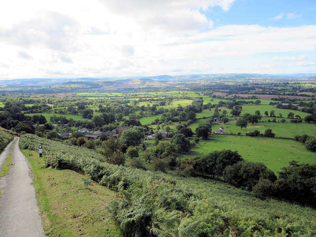
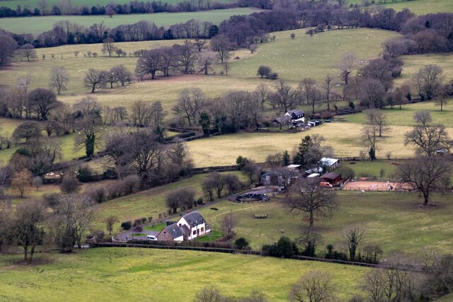
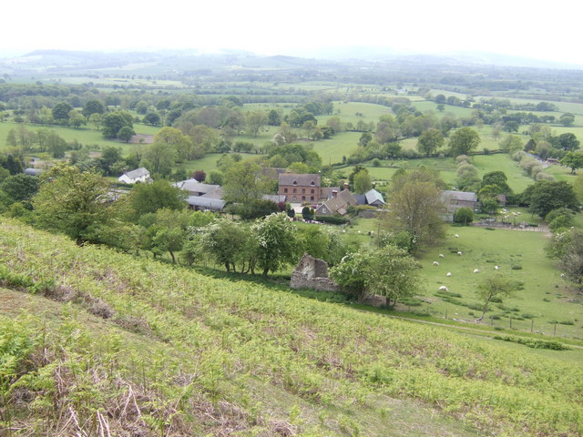
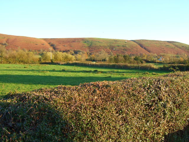
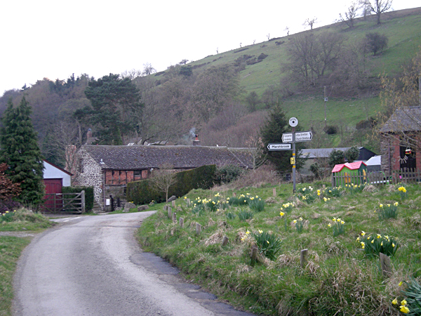
Minton Hill is a prominent hill located in the county of Shropshire, England. Situated near the village of Minton, the hill is part of the picturesque landscape of the Shropshire Hills Area of Outstanding Natural Beauty. It is considered one of the notable landmarks in the region.

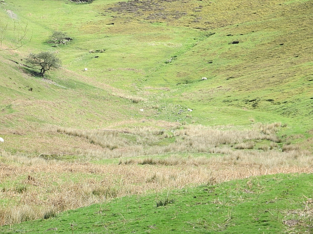
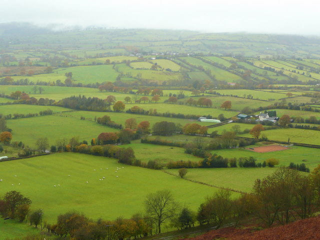
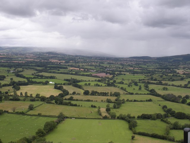
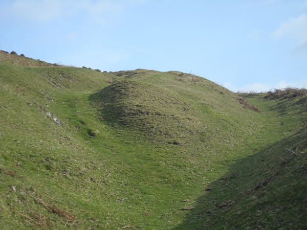
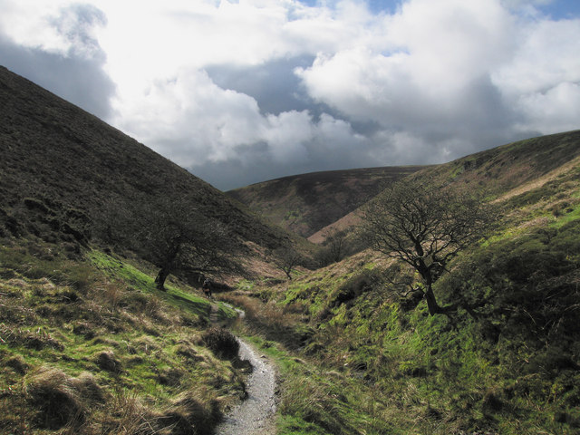
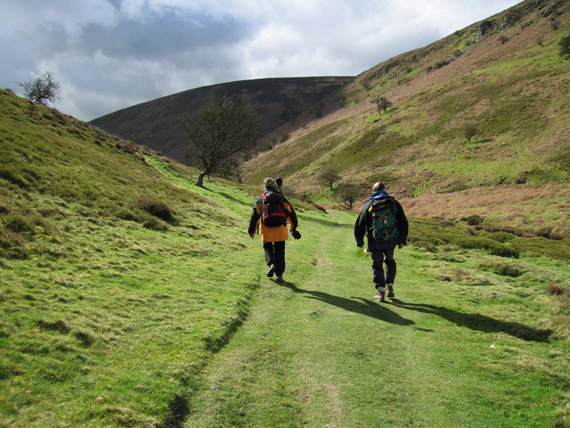
Rising to an elevation of approximately 373 meters (1,224 feet) above sea level, Minton Hill offers breathtaking panoramic views of the surrounding countryside. The hill is characterized by gentle slopes covered in lush green grass, dotted with patches of heather and gorse. It is a popular destination for outdoor enthusiasts, hikers, and nature lovers.

Minton Hill is renowned for its diverse flora and fauna. The hill boasts a rich variety of plant species, including wildflowers such as bluebells and primroses. The area is also home to various bird species, making it an excellent spot for birdwatching. Visitors may spot birds like red kites, buzzards, and kestrels soaring above the hill.

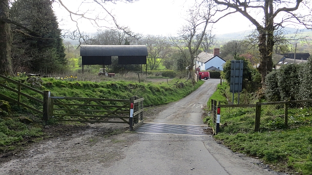
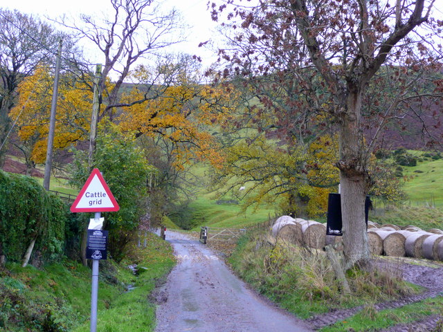
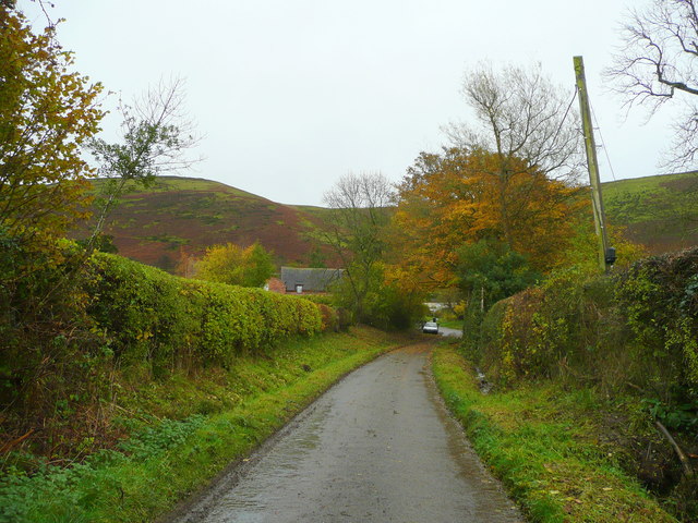
The hill is easily accessible via well-maintained footpaths and trails, allowing visitors to explore its natural beauty. There are also designated picnic areas, providing a perfect opportunity to relax and enjoy the stunning scenery. The tranquil atmosphere and stunning vistas make Minton Hill a popular destination for photographers, artists, and those seeking a peaceful retreat in the heart of nature.

Overall, Minton Hill in Shropshire is a remarkable natural landmark, offering visitors a chance to immerse themselves in the beauty of the English countryside and experience the serenity of this picturesque location.

If you have any feedback on the listing, please let us know in the comments section below.
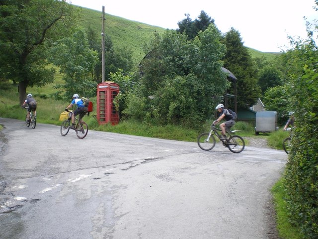
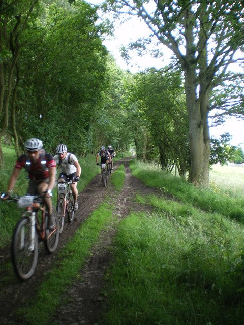
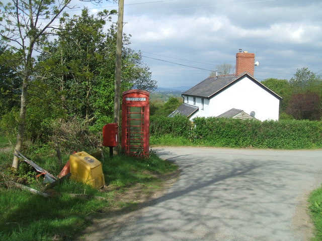
Minton Hill Images

Images are sourced within 2km of 52.52206/-2.8642694 or Grid Reference SO4191. Thanks to Geograph Open Source API. All images are credited.

MTB riders at Asterton crossroads Participants in the 2012 MTB Marathon event, who have recently descended the Mynd and are now about to head offroad again along the narrow (and very muddy) unsurfaced track that leads in the general direction of Coates.
MTB riders at Asterton crossroads
Participants in the 2012 MTB Marathon event, who have recently descended the Mynd and are now about to head offroad again along the narrow (and very muddy) unsurfaced track that leads in the general direction of Coates.
MTB riders on the west side of the Mynd Part of the narrow (and normally muddy) track that runs along the lower side of the Mynd between Asterton and Medlicott. This part of it is unsurfaced - the northern end is metalled.
MTB riders on the west side of the Mynd
Part of the narrow (and normally muddy) track that runs along the lower side of the Mynd between Asterton and Medlicott. This part of it is unsurfaced - the northern end is metalled.
Open Barn in Asterton village
Asterton Crossroads
Asterton Crossroads
Asterton from Port Way
Reentrant above Myndtown Sheep graze on steep slopes on the west side of the Long Mynd.
Reentrant above Myndtown
Sheep graze on steep slopes on the west side of the Long Mynd.
Cattle grid, Asterton At the foot of the exposed road descending from the Long Mynd.
Cattle grid, Asterton
At the foot of the exposed road descending from the Long Mynd.
Blacksmith's Cottage
Asterton and the Clun Forest View from just about the steepest public road in the midlands!
Asterton and the Clun Forest
View from just about the steepest public road in the midlands!
Farmland at  Prolley Moor Fields at Asterton Prolley Moor, with Long Mynd in the background
Farmland at Prolley Moor
Fields at Asterton Prolley Moor, with Long Mynd in the background
The Mynd road out of Asterton I admit to some trepidation as this is one of the steepest, narrowest roads I've driven, with a sheer drop on one side and very few passing places. See <a href="https://www.geograph.org.uk/photo/1043827">SO4091 : Not for the faint-hearted 1</a> and <a href="https://www.geograph.org.uk/photo/1043834">SO4091 : Not for the faint-hearted 2</a>.
The Mynd road out of Asterton
I admit to some trepidation as this is one of the steepest, narrowest roads I've driven, with a sheer drop on one side and very few passing places. See SO4091 : Not for the faint-hearted 1 and SO4091 : Not for the faint-hearted 2.
Approaching Asterton From the west.
Approaching Asterton
From the west.
View from the Long Mynd Looking west-north-west across Asterton Prolley Moor with Wentnor on its hill in the middle distance.
The property to the right is The Poplars.
View from the Long Mynd
Looking west-north-west across Asterton Prolley Moor with Wentnor on its hill in the middle distance. The property to the right is The Poplars.
Shower approaching This photo was taken on 11/8/08. From the Port Way road on the west side of the Long Mynd looking towards Wales. You can see a shower approaching. I was riding my bicycle from Wellington to Knighton and met the shower at Bishop's Castle.
What a summer we had! 
The white object is a Marquee, that was being taken down.
Shower approaching
This photo was taken on 11/8/08. From the Port Way road on the west side of the Long Mynd looking towards Wales. You can see a shower approaching. I was riding my bicycle from Wellington to Knighton and met the shower at Bishop's Castle. What a summer we had! The white object is a Marquee, that was being taken down.
It's a long slog up to the top Footpath on the windward side of The Long Mynd.
It's a long slog up to the top
Footpath on the windward side of The Long Mynd.
Derelict 'Primitive Methodist Chapel'
Path to Ashes Hollow. Long Mynd This path runs down hill all the way to Little Stretton.
Path to Ashes Hollow. Long Mynd
This path runs down hill all the way to Little Stretton.
Walking to Ashes Hollow, Long Mynd
Show me another place!

Minton Hill is located at Grid Ref: SO4191 (Lat: 52.52206, Lng: -2.8642694)

Unitary Authority: Shropshire

Police Authority: West Mercia

What 3 Words

///bullion.stags.stuffing. Near Church Stretton, Shropshire

Related Wikis

Asterton

Asterton is a hamlet in Shropshire, England, in the civil parish of Myndtown. The name means "eastern home farm", from Old English east "east" and "ham...

Minton, Shropshire

Minton is a hamlet in Shropshire, England. It is located in the parish of Church Stretton, 2+1⁄2 miles (4.0 km) southwest of the market town of Church...

Prolley Moor

Prolley Moor (also known as Prolly Moor) is a small dispersed settlement in Shropshire, England, based around a cross roads. The settlement is located...

Hamperley

Hamperley is a dispersed hamlet in Shropshire, England. It is mainly located in the parish of Church Stretton, 2+1⁄2 miles southwest of Little Stretton...

Nearby Amenities

Located within 500m of 52.52206,-2.8642694
Burial mound
Archaeological Site: tumulus
Historic: archaeological_site
Lat/Long: 52.5221105/-2.8640647
Minton Hill
Ele: 453
Natural: peak
Lat/Long: 52.5220475/-2.8640762
The data included in this document is from www.openstreetmap.org. The data is made available under ODbL.

Have you been to Minton Hill?

Leave your review of Minton Hill below (or comments, questions and feedback).