Broomy Law

Hill, Mountain in Selkirkshire

Scotland

Broomy Law

Referendum hangover, Yarrowford Remnants of the no campaign which sleepwalked to victory a few weeks earlier. Who would see these tiny stickers on a road hardly walked is a mystery.  Obviously going for the cyclist vote.
Referendum hangover, Yarrowford Credit: Richard Webb

Broomy Law is a prominent hill located in Selkirkshire, a historic county in the Scottish Borders region of Scotland. Situated in the southern part of the county, it forms part of the picturesque landscape that characterizes this area. Broomy Law stands at an elevation of approximately 528 meters (1,732 feet) above sea level, making it a notable peak in the region.

This hill is known for its distinct shape, with a rounded summit that offers panoramic views of the surrounding countryside. Its slopes are covered in heather, giving the hill a vibrant purple hue during the summer months. Broomy Law is a popular destination for hikers and nature enthusiasts, who are drawn to its rugged beauty and the opportunity to explore its diverse flora and fauna.

The hill is easily accessible, with several walking trails and footpaths leading to its summit. These routes cater to a range of abilities, from casual walkers to experienced hikers. The ascent to the top of Broomy Law is relatively moderate, ensuring that visitors can enjoy the climb without any significant technical challenges.

From the summit of Broomy Law, visitors are rewarded with breathtaking views of the surrounding Selkirkshire countryside, including the rolling hills and valleys that stretch as far as the eye can see. On clear days, it is even possible to catch a glimpse of the distant Scottish Borders coastline.

Overall, Broomy Law is a stunning natural landmark that offers a memorable outdoor experience for those seeking to explore the beauty of Selkirkshire.

If you have any feedback on the listing, please let us know in the comments section below.

Broomy Law Images

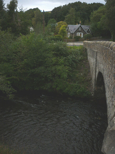
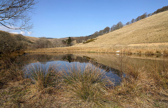
Images are sourced within 2km of 55.576924/-2.9301649 or Grid Reference NT4131. Thanks to Geograph Open Source API. All images are credited.

Referendum hangover, Yarrowford Remnants of the no campaign which sleepwalked to victory a few weeks earlier. Who would see these tiny stickers on a road hardly walked is a mystery.  Obviously going for the cyclist vote.
Referendum hangover, Yarrowford
Remnants of the no campaign which sleepwalked to victory a few weeks earlier. Who would see these tiny stickers on a road hardly walked is a mystery. Obviously going for the cyclist vote.
Yarn bombing at Yarrowford Yarn bombers have been decorating the road side in the village in time for Christmas.
Yarn bombing at Yarrowford
Yarn bombers have been decorating the road side in the village in time for Christmas.
Yarn bombing at Yarrowford Yarn bombers have been decorating the road side in the village in time for Christmas. For a closer view of Santa on his bike, see <a href="https://www.geograph.org.uk/photo/5216122">NT4029 : Yarn bombing at Yarrowford</a>.
Yarn bombing at Yarrowford
Yarn bombers have been decorating the road side in the village in time for Christmas. For a closer view of Santa on his bike, see NT4029 : Yarn bombing at Yarrowford.
Yarn bombing at Yarrowford Yarn bombers have been out in force again in the Ettrick and Yarrow Valleys. The bike was used last year in a Christmas theme – see <a href="https://www.geograph.org.uk/photo/5216122">NT4029 : Yarn bombing at Yarrowford</a>.
Yarn bombing at Yarrowford
Yarn bombers have been out in force again in the Ettrick and Yarrow Valleys. The bike was used last year in a Christmas theme – see NT4029 : Yarn bombing at Yarrowford.
The telephone box at Yarrowford Yarn bombers have been active in the Ettrick and Yarrow Valleys.
The telephone box at Yarrowford
Yarn bombers have been active in the Ettrick and Yarrow Valleys.
The Yarrow Water at Broadmeadows
Woodland track at Yarrowford Looking north-eastward.
Woodland track at Yarrowford
Looking north-eastward.
A common toad (Bufo bufo) A large pond by the Gruntly Burn was very busy with mating frogs and toads during a spell of good weather in late March. All of the frogs were in the water while most of the toads were on dry land around the edge of the pond.
A common toad (Bufo bufo)
A large pond by the Gruntly Burn was very busy with mating frogs and toads during a spell of good weather in late March. All of the frogs were in the water while most of the toads were on dry land around the edge of the pond.
Walking the dogs This access road which almost reaches the Southern Upland Way is popular with walkers.
Walking the dogs
This access road which almost reaches the Southern Upland Way is popular with walkers.
Clumps of frog spawn Hundreds of frogs were mating in two large ponds by the Gruntly Burn during a week of lovely weather in late March.
Clumps of frog spawn
Hundreds of frogs were mating in two large ponds by the Gruntly Burn during a week of lovely weather in late March.
Common frogs (Rana temporaria) I visited a large pond by the Gruntly Burn for several days in late March to watch and listen to mating frogs.
Common frogs (Rana temporaria)
I visited a large pond by the Gruntly Burn for several days in late March to watch and listen to mating frogs.
A pond by the Gruntly Burn This large pond was a hive of activity with frogs mating during a spell of lovely weather in late March. Another pond nearby was also busy with mating frogs and also toads in the grass by the pond edge.
A pond by the Gruntly Burn
This large pond was a hive of activity with frogs mating during a spell of lovely weather in late March. Another pond nearby was also busy with mating frogs and also toads in the grass by the pond edge.
Mating common toads (Bufo bufo) The toads were near the edge of a large pond by the Gruntly Burn.
Mating common toads (Bufo bufo)
The toads were near the edge of a large pond by the Gruntly Burn.
A pond by the Gruntly Burn Lots of mating frogs were active in this pond during a lovely spell of late March weather. Some toads were also mating in the grass by the pond edge.
A pond by the Gruntly Burn
Lots of mating frogs were active in this pond during a lovely spell of late March weather. Some toads were also mating in the grass by the pond edge.
Mating frogs A large pond by the Gruntly Burn was busy with mating frogs and toads during a spell of good weather in late March. A female frog has attracted two male admirers.
Mating frogs
A large pond by the Gruntly Burn was busy with mating frogs and toads during a spell of good weather in late March. A female frog has attracted two male admirers.
Tadpoles in a pond by the Gruntly Burn For a view of the frog spawn here in late March, see <a href="https://www.geograph.org.uk/photo/7131194">NT4030 : Clumps of frog spawn</a>.
Tadpoles in a pond by the Gruntly Burn
For a view of the frog spawn here in late March, see NT4030 : Clumps of frog spawn.
A cock and hen pheasant on a beech hedge at Yarrowford
The Gruntly Burn This small burns runs into the Yarrow Water at Yarrowford.
The Gruntly Burn
This small burns runs into the Yarrow Water at Yarrowford.
Show me another place!

Broomy Law is located at Grid Ref: NT4131 (Lat: 55.576924, Lng: -2.9301649)

Unitary Authority: The Scottish Borders

Police Authority: The Lothians and Scottish Borders

What 3 Words

///cakewalk.simulator.diverts. Near Selkirk, Scottish Borders

Related Wikis

Broadmeadows, Scottish Borders

Broadmeadows is a village in the Scottish Borders area of Scotland, on the A708 near Selkirk. Places nearby include Boleside, Bowhill, Caddonfoot, Ettrickbridge...

Yarrowford

Yarrowford is a village on the A708, in the Scottish Borders area of Scotland, 4 miles north-west of Selkirk, in the Ettrick Forest. The Yarrow Water flows...

Newark Castle, Selkirkshire

Newark Tower is a large, ruined tower house standing in the grounds of Bowhill House, in the valley of the Yarrow Water three miles west of Selkirk in...

Ashiestiel

Ashiestiel is a village in the Scottish Borders area of Scotland, in the Parish of Caddonfoot, on the south side of the River Tweed, 4m (6.5 km) east of...

Nearby Amenities

Located within 500m of 55.576924,-2.9301649
Broomy Law
Ele: 463
Natural: peak
Lat/Long: 55.5770018/-2.9298703
The data included in this document is from www.openstreetmap.org. The data is made available under ODbL.

Have you been to Broomy Law?

Leave your review of Broomy Law below (or comments, questions and feedback).