Burrow Hill
Hill, Mountain in Somerset South Somerset
England
Burrow Hill
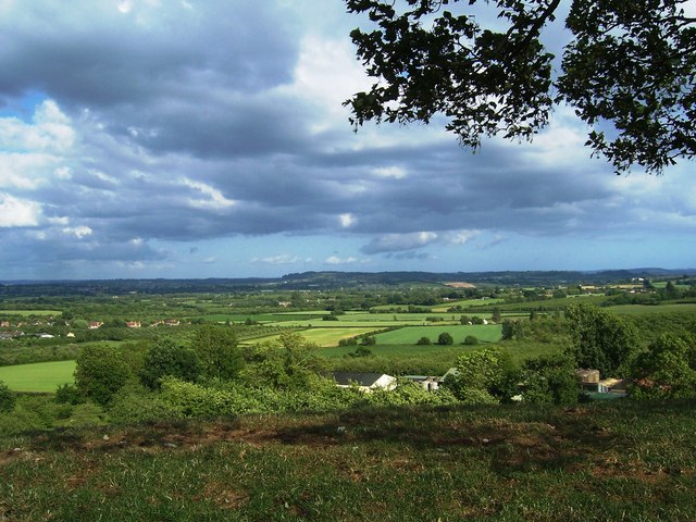
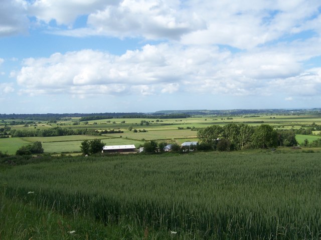
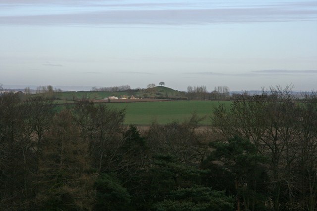
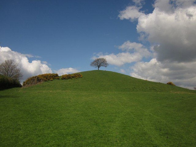
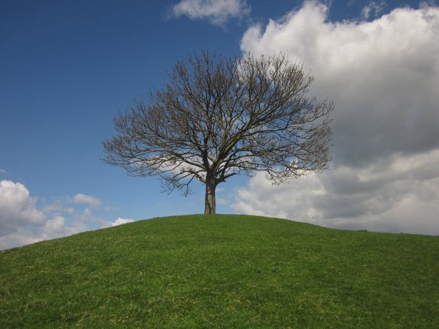
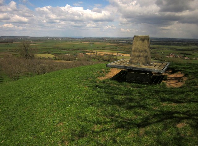
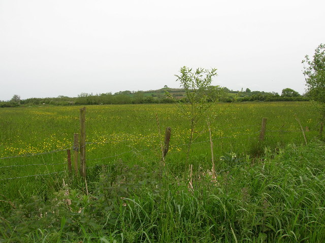
Burrow Hill is a prominent hill located in the county of Somerset, England. Standing at an elevation of 97 meters (318 feet), it is not considered a mountain but rather a hill. The summit of Burrow Hill offers breathtaking panoramic views of the surrounding countryside, making it a popular destination for locals and tourists alike.
Situated near the village of Kingsbury Episcopi, Burrow Hill is part of a range of hills known as the Polden Hills. It is famed for its cider orchards and is home to the renowned Burrow Hill Cider Farm, which has been producing traditional Somerset cider for over 200 years. The farm's orchards are filled with a variety of apple trees, including the famous Kingston Black apple, which is used in the production of their award-winning ciders.
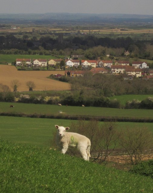
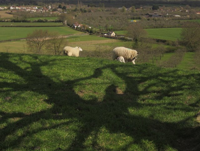
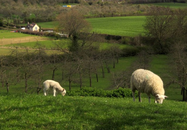
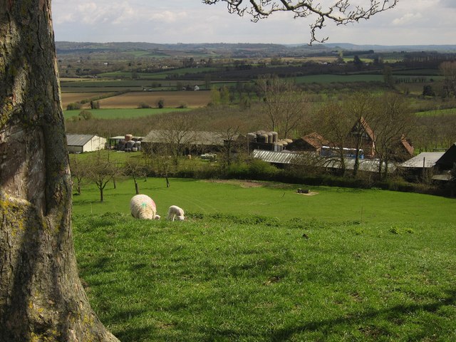
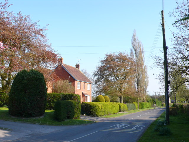
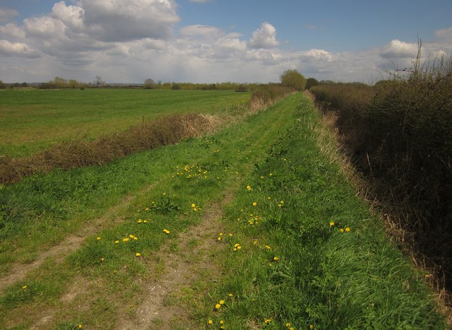
The hill itself is characterized by its gently sloping sides and lush greenery. It is predominantly used for agricultural purposes, with fields of crops and grazing livestock dotting the landscape. Burrow Hill is also home to a diverse range of wildlife, including birds, small mammals, and insects.
In addition to its natural beauty, Burrow Hill has historical significance. The area has evidence of human habitation dating back to the Bronze Age, and several archaeological sites can be found in the vicinity. These include burial mounds and ancient trackways, providing insight into the region's past.
Overall, Burrow Hill is a picturesque and culturally significant landmark in Somerset. Its combination of natural beauty, agricultural heritage, and historical importance make it a must-visit destination for those exploring the area.
If you have any feedback on the listing, please let us know in the comments section below.
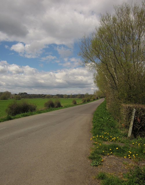
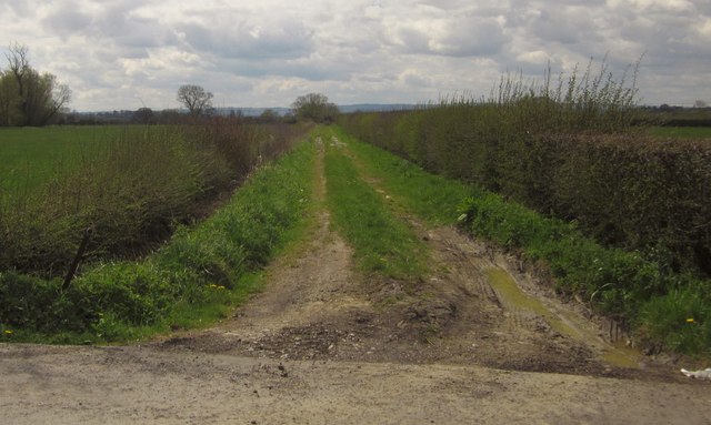
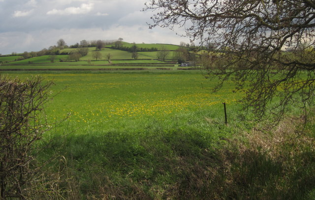
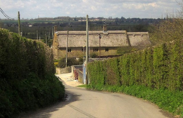
Burrow Hill Images
Images are sourced within 2km of 50.977463/-2.8354008 or Grid Reference ST4120. Thanks to Geograph Open Source API. All images are credited.


Burrow Hill is located at Grid Ref: ST4120 (Lat: 50.977463, Lng: -2.8354008)
Administrative County: Somerset
District: South Somerset
Police Authority: Avon and Somerset
What 3 Words
///native.cars.airstrip. Near South Petherton, Somerset
Nearby Locations
Related Wikis
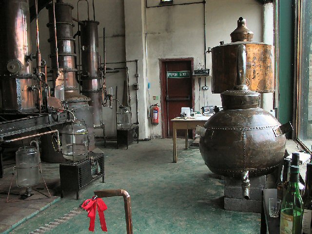
Burrow Hill Cider Farm
Burrow Hill Cider Farm is a cider farm in Somerset, England at the base of Burrow Hill overlooking the Somerset Levels. It has views of most of South Somerset...
West Moor SSSI
West Moor (grid reference ST420220) is a 213.0 hectare (526.3 acre) biological Site of Special Scientific Interest on the River Parrett in Somerset, notified...

East Lambrook
East Lambrook is an English village situated in the civil parish of Kingsbury Episcopi, within the South Somerset district of Somerset. It is noted particularly...
Kingsbury Episcopi
Kingsbury Episcopi is a village and civil parish on the River Parrett in Somerset, England, situated 9 miles (14.5 km) north west of Yeovil in the South...
East Lambrook Manor
East Lambrook Manor is a small 15th-century manor house in East Lambrook, Somerset, England, registered by English Heritage as a Grade II* listed building...

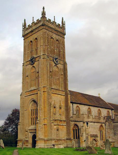
Church of St James, East Lambrook
The Anglican Church of St James in East Lambrook, Kingsbury Episcopi, Somerset, England was built in the 12th century. It is a Grade II* listed building...

Church of St James the Less, Hambridge
The Church of St James the Less is a Church of England parish church in Hambridge, Somerset, England. It was designed by Benjamin Ferrey and built in 1842...

Hambridge and Westport
Hambridge and Westport is a civil parish in Somerset, England. It had a population of 514 in 2011. The parish includes the villages of Hambridge and Westport...
Nearby Amenities
Located within 500m of 50.977463,-2.8354008Have you been to Burrow Hill?
Leave your review of Burrow Hill below (or comments, questions and feedback).