Burrow, Lower
Settlement in Somerset South Somerset
England
Burrow, Lower
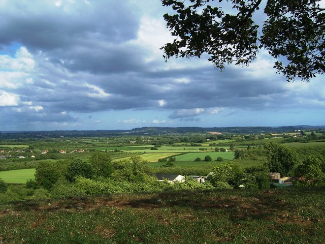
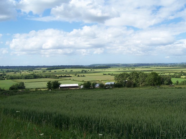
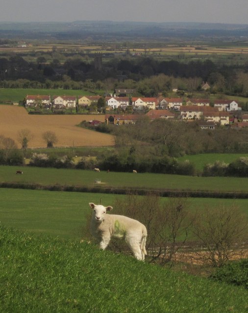
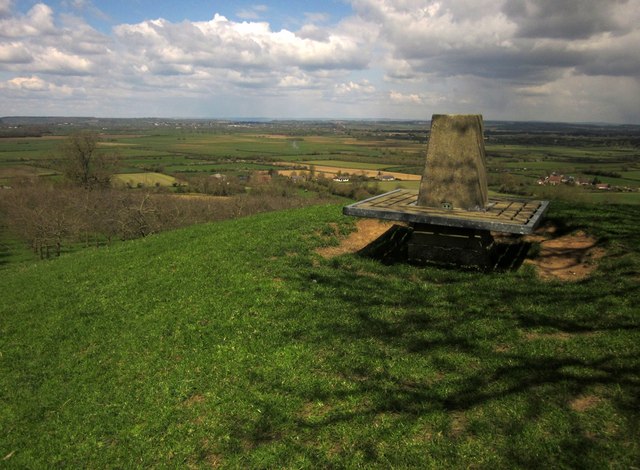
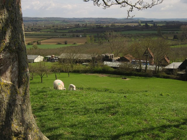
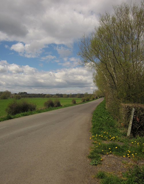
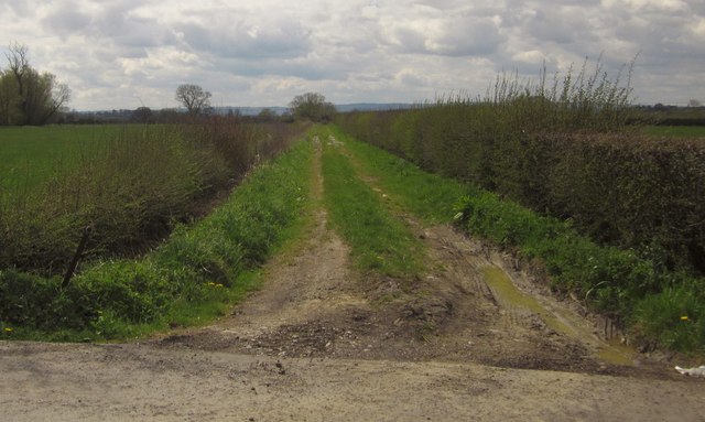
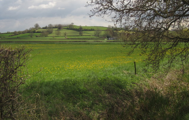
Burrow is a small village located in the county of Somerset, England. Situated in the district of South Somerset, Burrow is nestled in the picturesque countryside and surrounded by rolling hills and farmland. The village is part of the civil parish of Lower, which comprises a few scattered settlements.
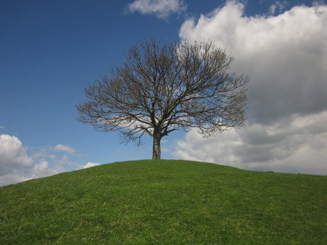
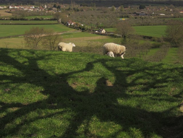
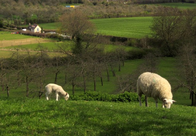
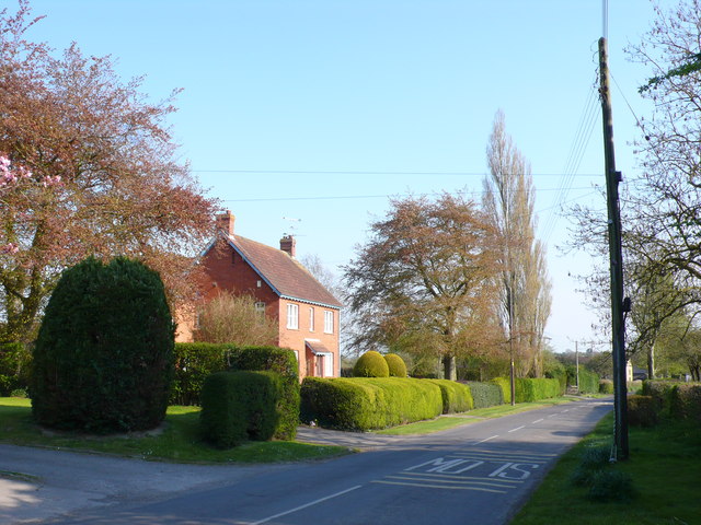
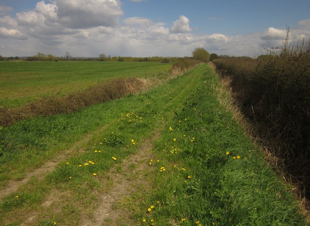
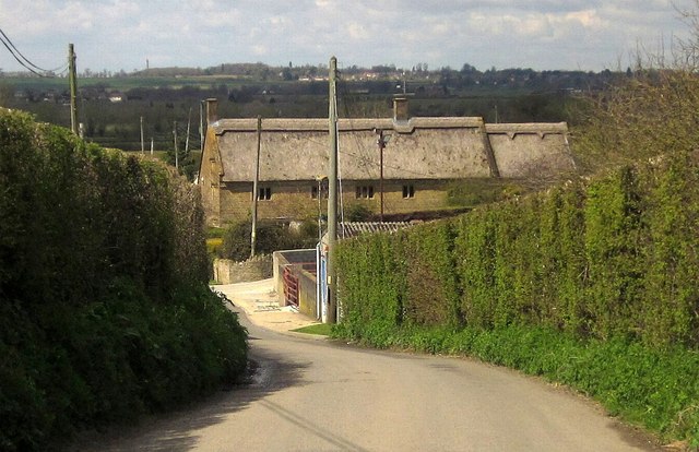
With a population of around 200 residents, Burrow is a tight-knit community that offers a peaceful and idyllic setting for its inhabitants. The village is characterized by its charming thatched-roof cottages, which add to its quaint and traditional atmosphere. The surrounding landscape provides ample opportunities for outdoor activities such as hiking, cycling, and nature walks.
Despite its small size, Burrow has a few amenities to cater to the needs of its residents. These include a local pub, a village hall, and a community center that hosts various events and gatherings throughout the year. The village also benefits from being close to larger towns and cities such as Yeovil and Taunton, which provide additional services and amenities.
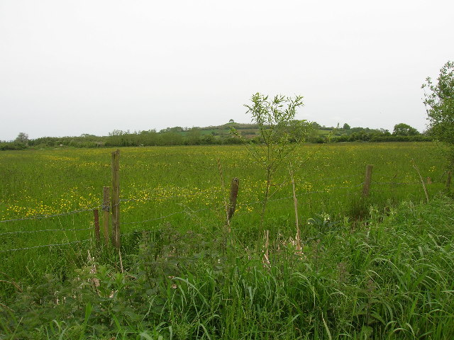
Historically, Burrow has been an agricultural community, and farming still plays a significant role in the local economy. The village is known for its lush green fields and well-preserved historic buildings, which attract visitors looking to experience the charm of rural England.
Overall, Burrow, Lower, Somerset offers a tranquil and close-knit community, surrounded by beautiful countryside, and provides an ideal retreat for those seeking a slower pace of life in a traditional English village.
If you have any feedback on the listing, please let us know in the comments section below.
Burrow, Lower Images
Images are sourced within 2km of 50.982129/-2.833627 or Grid Reference ST4120. Thanks to Geograph Open Source API. All images are credited.


Burrow, Lower is located at Grid Ref: ST4120 (Lat: 50.982129, Lng: -2.833627)
Administrative County: Somerset
District: South Somerset
Police Authority: Avon and Somerset
What 3 Words
///brotherly.poppy.highly. Near South Petherton, Somerset
Nearby Locations
Related Wikis
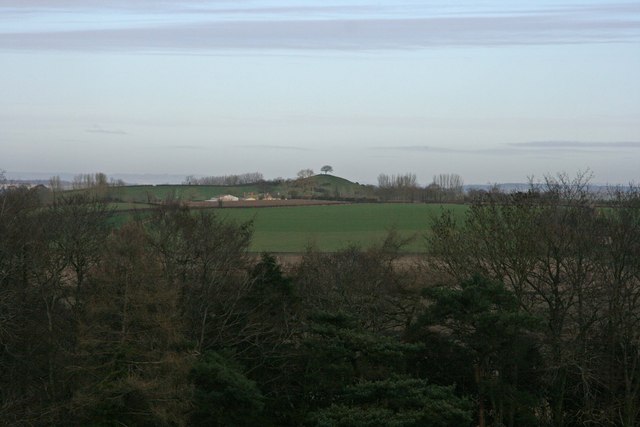
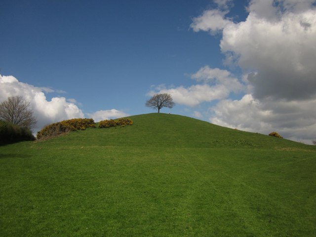
Burrow Hill Cider Farm
Burrow Hill Cider Farm is a cider farm in Somerset, England at the base of Burrow Hill overlooking the Somerset Levels. It has views of most of South Somerset...
West Moor SSSI
West Moor (grid reference ST420220) is a 213.0 hectare (526.3 acre) biological Site of Special Scientific Interest on the River Parrett in Somerset, notified...
Kingsbury Episcopi
Kingsbury Episcopi is a village and civil parish on the River Parrett in Somerset, England, situated 9 miles (14.5 km) north west of Yeovil in the South...
St Martin's Church, Kingsbury Episcopi
The Church of St Martin in Kingsbury Episcopi, Somerset, England, dates from the 14th century and has been designated as a Grade I listed building.The...

Hambridge and Westport
Hambridge and Westport is a civil parish in Somerset, England. It had a population of 514 in 2011. The parish includes the villages of Hambridge and Westport...

East Lambrook
East Lambrook is an English village situated in the civil parish of Kingsbury Episcopi, within the South Somerset district of Somerset. It is noted particularly...

Midelney Manor
Midelney Manor in Drayton, Somerset, England was built in the late 16th century in two distinct halves by Richard and Thomas Trevillian. It has been designated...

Church of St James the Less, Hambridge
The Church of St James the Less is a Church of England parish church in Hambridge, Somerset, England. It was designed by Benjamin Ferrey and built in 1842...
Nearby Amenities
Located within 500m of 50.982129,-2.833627Have you been to Burrow, Lower?
Leave your review of Burrow, Lower below (or comments, questions and feedback).