Airdit Hill
Hill, Mountain in Fife
Scotland
Airdit Hill
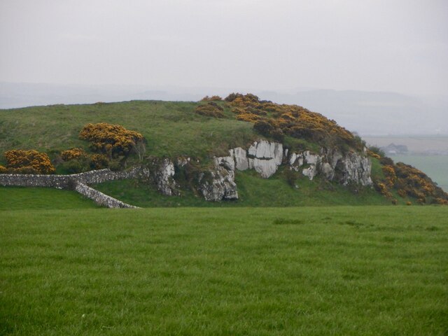
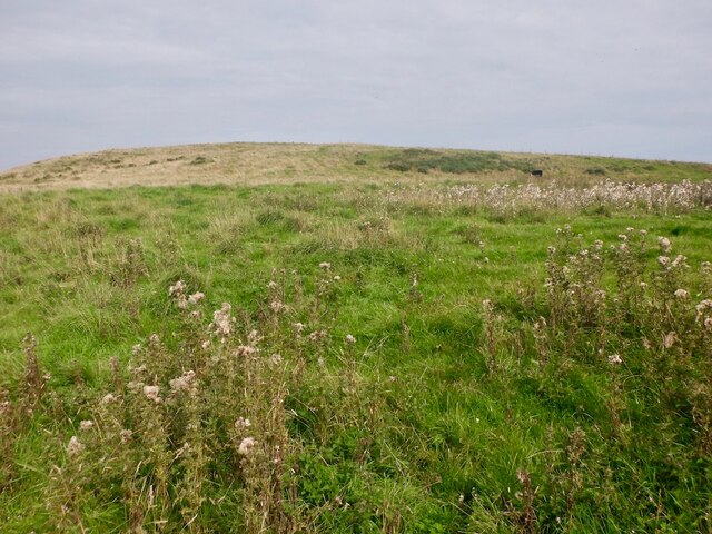
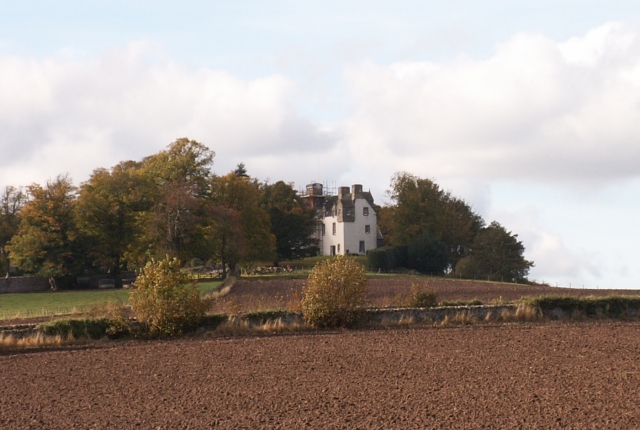
Airdit Hill is a prominent feature located in the region of Fife, Scotland. As the name suggests, it is primarily characterized as a hill, although some refer to it as a mountain due to its significant elevation. The hill stands at an approximate height of 225 meters (738 feet) above sea level, making it a notable landmark in the area.
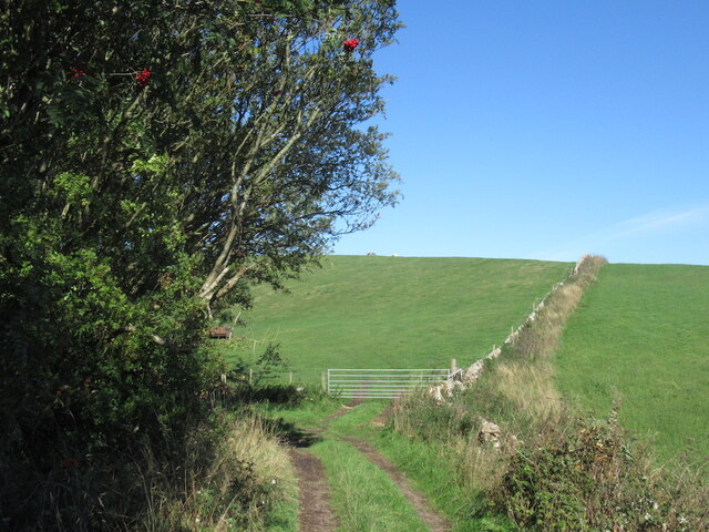
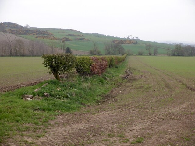
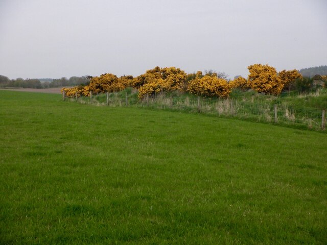
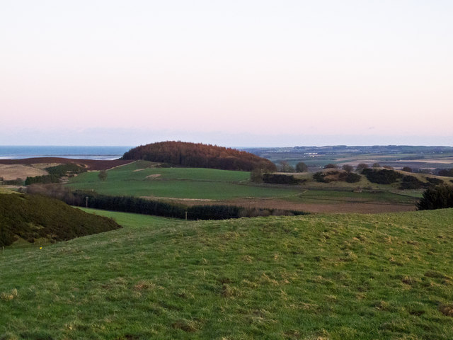
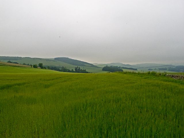
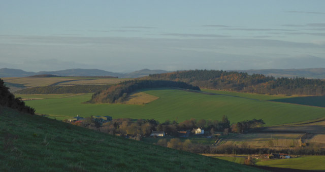
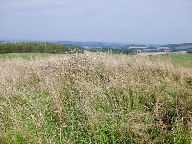
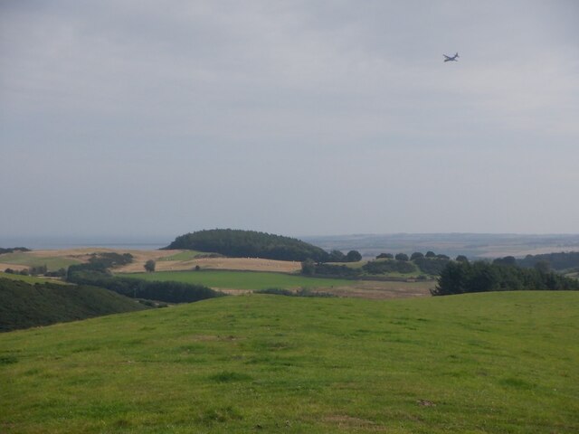
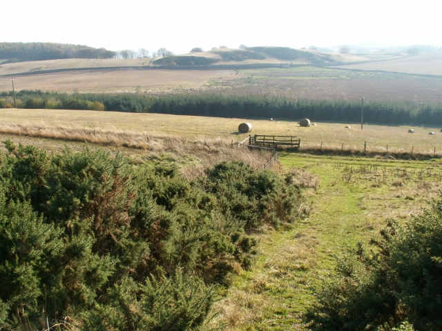
Situated in the parish of Creich, Airdit Hill offers stunning panoramic views of the surrounding countryside, making it a popular destination for hikers, nature enthusiasts, and photographers. Its location provides a picturesque vista of Fife's rolling hills, farmland, and distant views of the Firth of Forth.
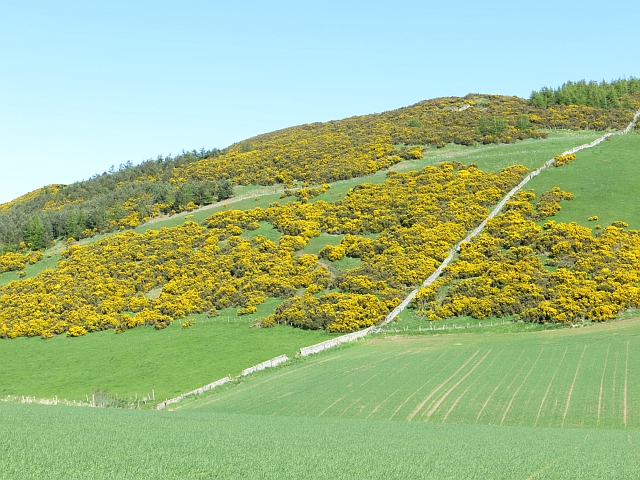
Airdit Hill is covered in lush green vegetation, featuring a mixture of grasses, heather, and various wildflowers, adding to its natural beauty. The diverse flora attracts an array of wildlife, including birds, insects, and small mammals, making it an ideal spot for birdwatching and wildlife observation.
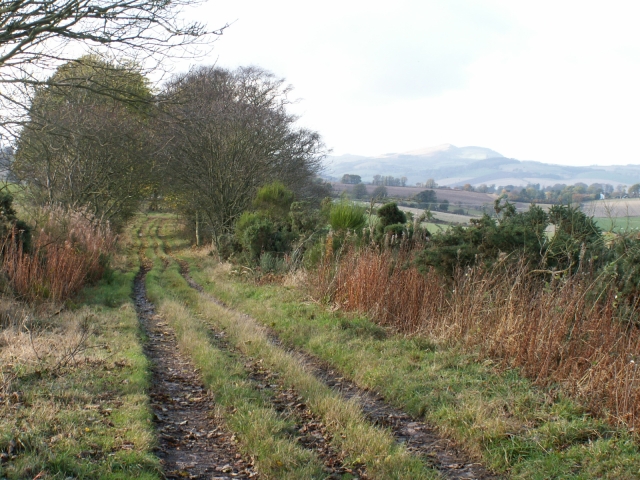
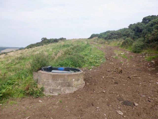
The hill is easily accessible through various footpaths and trails, allowing visitors to explore its slopes and reach its summit. At the top, a trig point can be found, providing a reference point for mapping and surveying purposes.
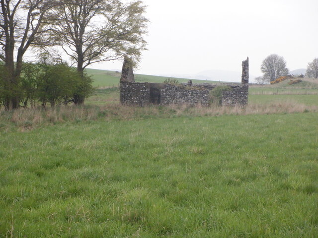
Airdit Hill holds historical significance as well, with evidence of prehistoric settlements and ancient burial sites in the vicinity. These remnants hint at the hill's long-standing connection with human activity and the importance it held in the lives of early settlers.
Overall, Airdit Hill's combination of natural beauty, breathtaking views, and historical significance make it a beloved landmark in Fife, attracting both locals and tourists alike.
If you have any feedback on the listing, please let us know in the comments section below.
Airdit Hill Images
Images are sourced within 2km of 56.36879/-2.9602791 or Grid Reference NO4020. Thanks to Geograph Open Source API. All images are credited.
Airdit Hill is located at Grid Ref: NO4020 (Lat: 56.36879, Lng: -2.9602791)
Unitary Authority: Fife
Police Authority: Fife
What 3 Words
///mimics.talkative.include. Near Balmullo, Fife
Nearby Locations
Related Wikis

Logie, Fife
Logie (Scottish Gaelic: An Lagan) is a parish and village in east Fife, Scotland, 5 miles north-east of Cupar. The parish is bounded on the east by the...
Balmullo
Balmullo (Gaelic: Baile Mhullaich) is a village in Fife, Scotland. It is 7 miles (11 km) from the town of St Andrews and near to the villages of Lucklawhill...
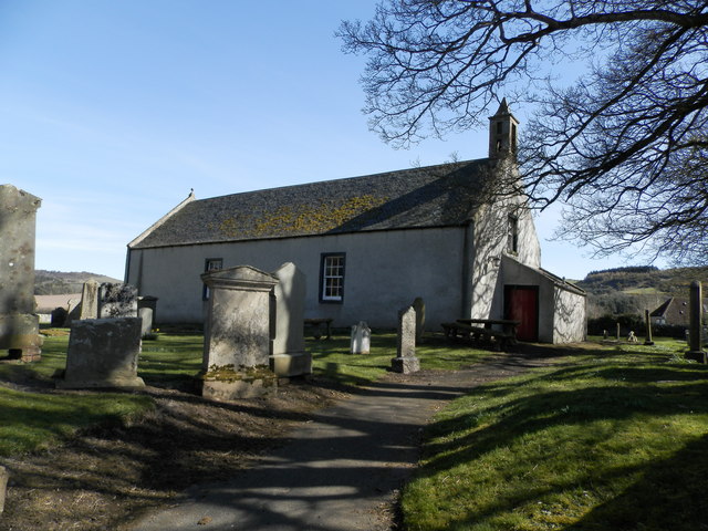
Kilmany Parish Church
Kilmany Parish Church is an ancient church building in Kilmany, Fife, Scotland. Dating to 1768, it is Category A listed. The church's pulpit was re-seated...
Dairsie Hoard
The Dairsie Hoard is a hoard of late 3rd century Roman hacksilver that was found near Dairsie, Fife, Scotland in 2014 by a teenage boy, David Hall, at...
Nearby Amenities
Located within 500m of 56.36879,-2.9602791Have you been to Airdit Hill?
Leave your review of Airdit Hill below (or comments, questions and feedback).