Kirk Hill
Hill, Mountain in Fife
Scotland
Kirk Hill
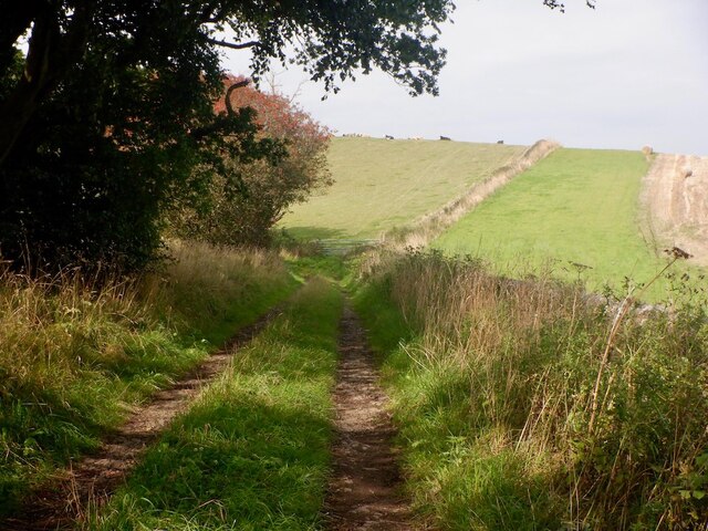
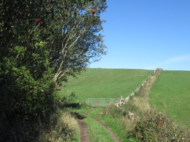
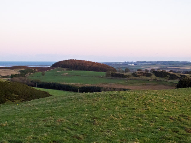
Kirk Hill is a prominent hill located in the region of Fife, Scotland. It is situated near the town of Kirkcaldy and stands at an elevation of approximately 240 meters (790 feet) above sea level. The hill is a popular destination for hikers and nature enthusiasts due to its stunning views and accessible trails.
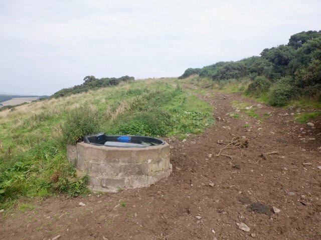
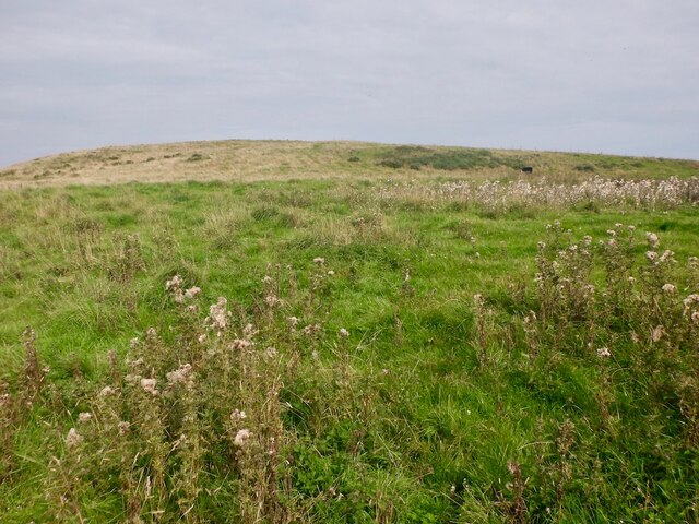
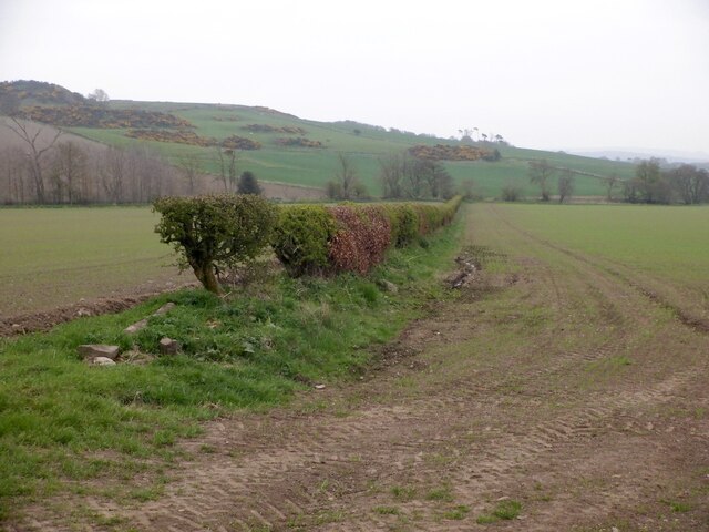
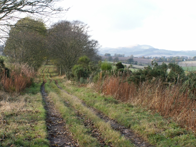
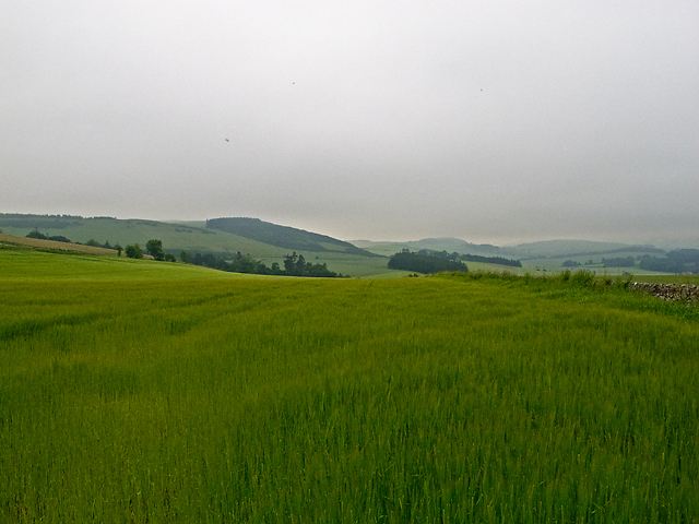
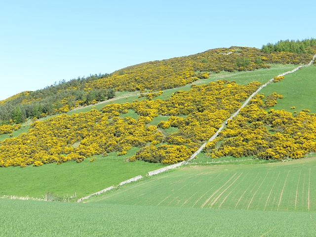
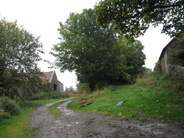
Kirk Hill offers a variety of hiking routes suitable for all levels of experience. The paths are well-maintained, making it easy for visitors to navigate and explore the area. The hill is covered in lush greenery, with a mixture of trees and vegetation, providing a picturesque backdrop for outdoor activities.
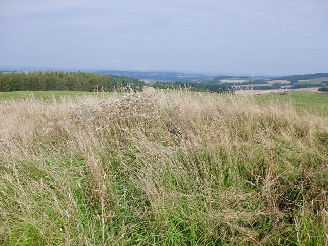
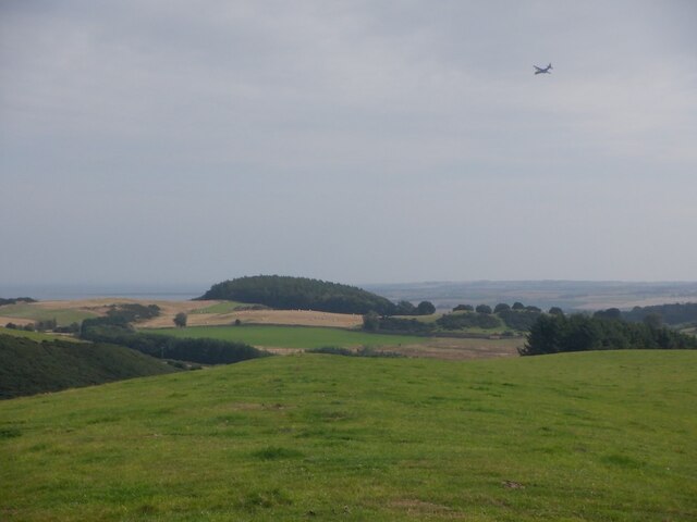
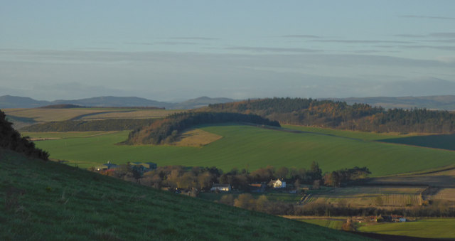
At the summit of Kirk Hill, walkers are rewarded with panoramic views of the surrounding countryside, including the Firth of Forth and the neighboring Lomond Hills. On clear days, it is even possible to catch a glimpse of the famous Edinburgh skyline in the distance.
The hill is also home to a diverse range of wildlife, including various bird species, rabbits, and deer, making it a haven for nature lovers. Visitors may spot these animals along the trails or while enjoying a peaceful picnic in one of the designated areas.
Overall, Kirk Hill offers a peaceful and scenic retreat for those seeking to immerse themselves in nature. Its accessibility and stunning views make it a favored destination for locals and tourists alike, providing an opportunity to appreciate the beauty of the Fife countryside.
If you have any feedback on the listing, please let us know in the comments section below.
Kirk Hill Images
Images are sourced within 2km of 56.370769/-2.9612355 or Grid Reference NO4020. Thanks to Geograph Open Source API. All images are credited.


Kirk Hill is located at Grid Ref: NO4020 (Lat: 56.370769, Lng: -2.9612355)
Unitary Authority: Fife
Police Authority: Fife
What 3 Words
///gymnasium.geologist.serve. Near Balmullo, Fife
Nearby Locations
Related Wikis

Logie, Fife
Logie (Scottish Gaelic: An Lagan) is a parish and village in east Fife, Scotland, 5 miles north-east of Cupar.The parish is bounded on the east by the...
Balmullo
Balmullo (Gaelic: Baile Mhullaich) is a village in Fife, Scotland. It is 7 miles (11 km) from the town of St Andrews and near to the villages of Lucklawhill...
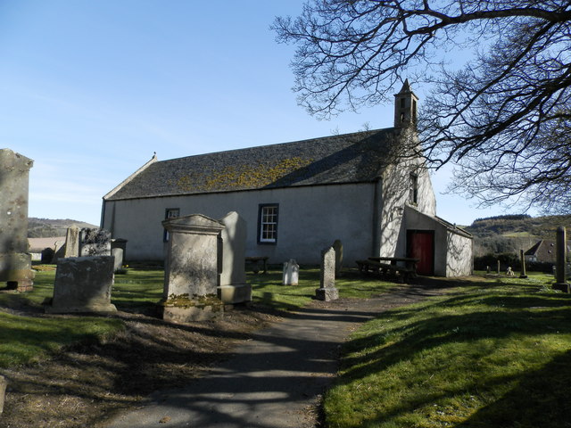
Kilmany Parish Church
Kilmany Parish Church is an ancient church building in Kilmany, Fife, Scotland. Dating to 1768, it is Category A listed.The church's pulpit was re-seated...

Kilmany
Kilmany (Scottish Gaelic: Cille Mheinidh) is a village and parish in Fife, Scotland. It is located on the A92 between Auchtermuchty and the Tay Road Bridge...
Nearby Amenities
Located within 500m of 56.370769,-2.9612355Have you been to Kirk Hill?
Leave your review of Kirk Hill below (or comments, questions and feedback).