Logie

Settlement in Fife

Scotland

Logie

Cattle drink, Forret Hill
Cattle drink, Forret Hill Credit: Richard Webb

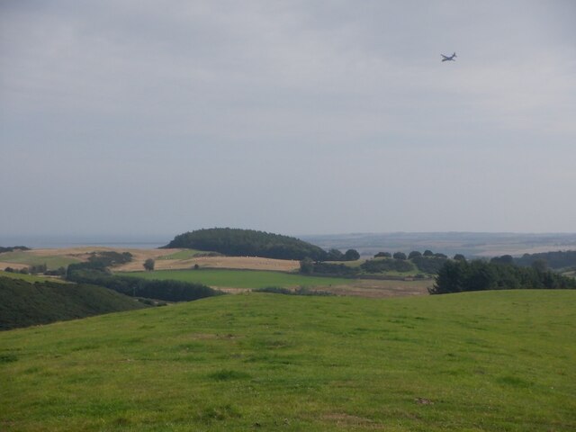
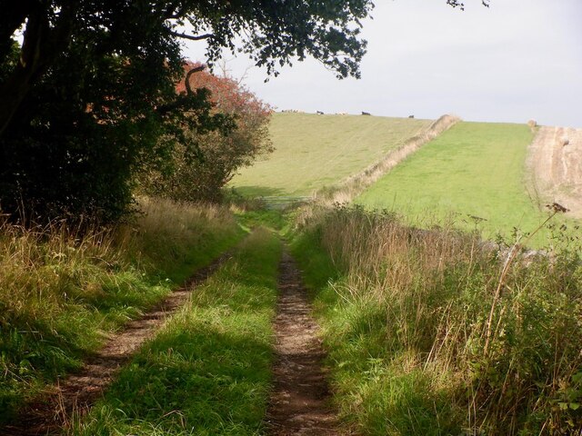
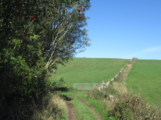
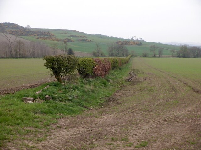
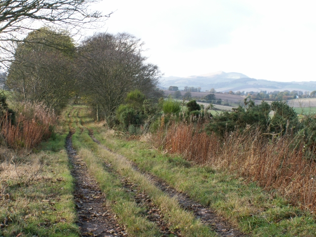
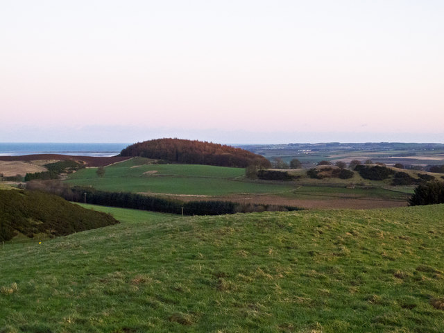
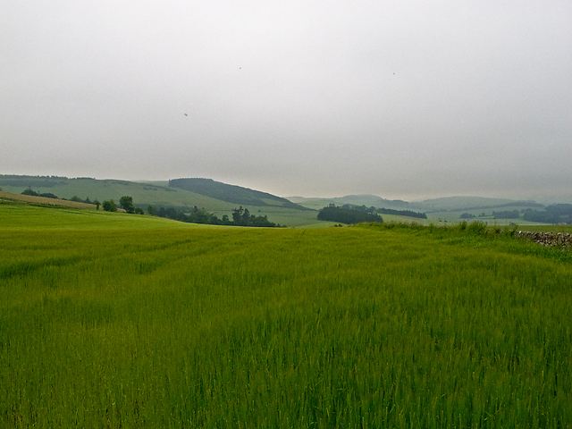
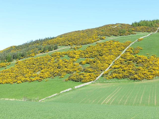
Logie is a small village located in the county of Fife, Scotland. Situated about 6 miles northwest of the town of St Andrews, Logie lies in a picturesque rural setting, surrounded by rolling farmland and countryside. The village is nestled in the Kinnesswood Hills, offering breathtaking views of the surrounding landscape.

The history of Logie dates back many centuries, with the village being mentioned in historical records as early as the 12th century. It was originally a farming community, with agriculture being the main industry for many years. Today, while agriculture still plays a significant role in the local economy, the village has also seen a growth in other sectors such as tourism and leisure.

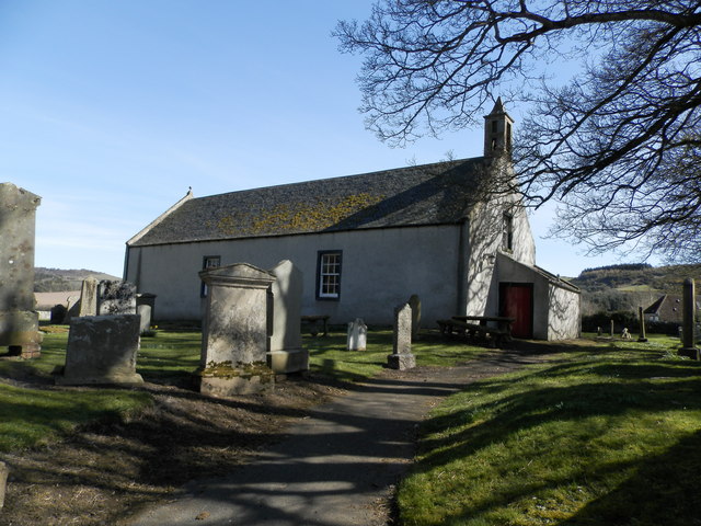
One of the notable landmarks in Logie is the Logie Old Church, a historic building that dates back to the 12th century. The church is known for its unique architecture and is a popular tourist attraction in the area. Additionally, the village is home to several well-preserved traditional cottages and houses, adding to its charm and character.

Nature lovers and outdoor enthusiasts are drawn to Logie due to its proximity to the Lomond Hills Regional Park, a designated area of natural beauty. The park offers a range of recreational activities, including walking, cycling, and birdwatching.

Despite its small size, Logie has a strong sense of community, with local events and gatherings taking place throughout the year. The village also has a primary school, a community center, and a small number of shops and amenities to cater to the needs of its residents.

Overall, Logie is a peaceful and idyllic village that offers a tranquil retreat from the hustle and bustle of city life. Its rich history, stunning landscapes, and close-knit community make it a hidden gem within the Fife countryside.

If you have any feedback on the listing, please let us know in the comments section below.
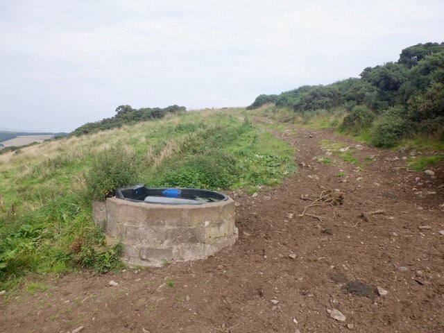
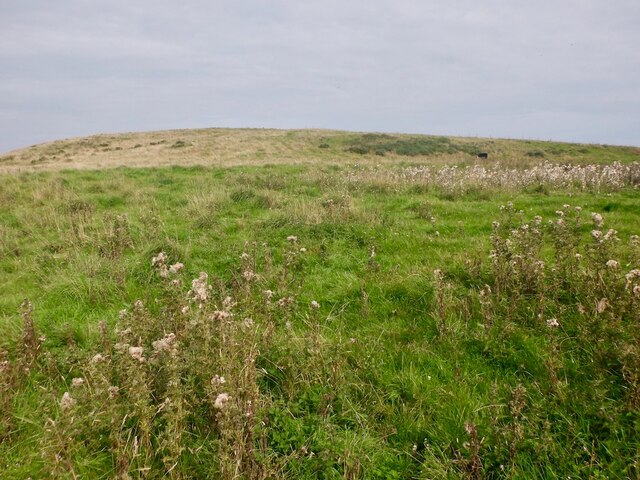
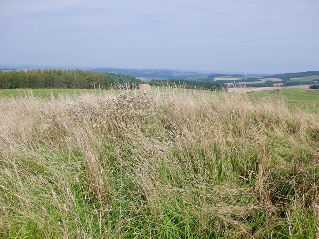
Logie Images

Images are sourced within 2km of 56.371941/-2.965271 or Grid Reference NO4020. Thanks to Geograph Open Source API. All images are credited.

Cattle drink, Forret Hill
Forret Hill Grazed by cattle.
Forret Hill
Grazed by cattle.
Summit, Forret Hill
Summit, Forret Hill
Pasture, Forret Hill A C-130 descends to Leuchars.
Pasture, Forret Hill
A C-130 descends to Leuchars.
Green lane, Craigsanquhar
Hedge, Craigsanquhar It is common now to see hedges retained, but a big gap made at the end to get the machinery through.
Hedge, Craigsanquhar
It is common now to see hedges retained, but a big gap made at the end to get the machinery through.
Farm track by Logie Taken looking due West. Once this route would have been more frequently used as it’s the direct route between the Rathillet area and the market town of St Andrews  but now it’s just a farm road.
Farm track by Logie
Taken looking due West. Once this route would have been more frequently used as it’s the direct route between the Rathillet area and the market town of St Andrews but now it’s just a farm road.
West to Kilmany from Cruivie
Two fields Two fields, harvested some time ago, and now waterlogged after heavy rainfall during winter 2011-12.
Two fields
Two fields, harvested some time ago, and now waterlogged after heavy rainfall during winter 2011-12.
Forret Hill An eastern view from Forret Hill, with a tree-covered Aidit Hill visible in the distance.
Forret Hill
An eastern view from Forret Hill, with a tree-covered Aidit Hill visible in the distance.
Willow crop Damp ground is being used to grow a fuel crop.
Willow crop
Damp ground is being used to grow a fuel crop.
Disused Newburgh and North Fife Railway The very overgrown trackbed of the Newburgh and North Fife Railway, which ran from Newburgh to St Fort. This route was opened in 1909, and was eventually closed in 1964. A short section of the disused railway west of Kilmany now serves as a heritage path - see: <span class="nowrap"><a title="http://www.heritagepaths.co.uk/pathdetails.php?path=14" rel="nofollow ugc noopener" href="http://www.heritagepaths.co.uk/pathdetails.php?path=14">Link</a><img style="margin-left:2px;" alt="External link" title="External link - shift click to open in new window" src="https://s1.geograph.org.uk/img/external.png" width="10" height="10"/></span>
Disused Newburgh and North Fife Railway
The very overgrown trackbed of the Newburgh and North Fife Railway, which ran from Newburgh to St Fort. This route was opened in 1909, and was eventually closed in 1964. A short section of the disused railway west of Kilmany now serves as a heritage path - see: LinkExternal link
Farmland near Forret Mill Arable farmland west of Forret Mill, viewed in early July 2012 in a prolonged period of wet weather, with visibility limited by low-lying cloud. The place name "Forret", (which also occurs in nearby Easter/Wester Forret, and Torr Forret) is believed to be derived from the personal name Ferat.
Farmland near Forret Mill
Arable farmland west of Forret Mill, viewed in early July 2012 in a prolonged period of wet weather, with visibility limited by low-lying cloud. The place name "Forret", (which also occurs in nearby Easter/Wester Forret, and Torr Forret) is believed to be derived from the personal name Ferat.
Heading for a hump This minor road climbs steeply to surmount a hump-backed bridge across a long-vanished railway.
Heading for a hump
This minor road climbs steeply to surmount a hump-backed bridge across a long-vanished railway.
Lots of bales At Wester Forret Farm.
Lots of bales
At Wester Forret Farm.
Forret Hill A whin covered steep slope above arable land.
Forret Hill
A whin covered steep slope above arable land.
Newburgh and North Fife Railway Trackbed near Kilmany.
Newburgh and North Fife Railway
Trackbed near Kilmany.
Show me another place!

Logie is located at Grid Ref: NO4020 (Lat: 56.371941, Lng: -2.965271)

Unitary Authority: Fife

Police Authority: Fife

What 3 Words

///shadowed.nuptials.castle. Near Balmullo, Fife

Related Wikis

Logie, Fife

Logie (Scottish Gaelic: An Lagan) is a parish and village in east Fife, Scotland, 5 miles north-east of Cupar.The parish is bounded on the east by the...

Kilmany Parish Church

Kilmany Parish Church is an ancient church building in Kilmany, Fife, Scotland. Dating to 1768, it is Category A listed.The church's pulpit was re-seated...

Kilmany

Kilmany (Scottish Gaelic: Cille Mheinidh) is a village and parish in Fife, Scotland. It is located on the A92 between Auchtermuchty and the Tay Road Bridge...

Balmullo

Balmullo (Gaelic: Baile Mhullaich) is a village in Fife, Scotland. It is 7 miles (11 km) from the town of St Andrews and near to the villages of Lucklawhill...

Kilmany railway station

Kilmany railway station served the village of Kilmany, Fife, Scotland from 1909 to 1951 on the Newburgh and North Fife Railway. == History == The station...

Lucklawhill

Lucklawhill is a hamlet one mile (1.6 km) northwest of the village of Balmullo in Fife, Scotland. Historically, Lucklawhill belonged to the Logie parish...

Dairsie Hoard

The Dairsie Hoard is a hoard of late 3rd century Roman hacksilver that was found near Dairsie, Fife, Scotland in 2014 by a teenage boy, David Hall, at...

Dairsie

Dairsie, or Osnaburgh, is a village and parish in north-east Fife, Scotland. It is 3 miles (4.8 km) south-southwest of Leuchars Junction, and 3 miles...

Nearby Amenities

Located within 500m of 56.371941,-2.965271
Power: pole
Lat/Long: 56.3718362/-2.9732471
Power: pole
Lat/Long: 56.3723183/-2.9720177
Power: pole
Lat/Long: 56.3728167/-2.9707687
Power: pole
Lat/Long: 56.3733293/-2.9695059
Power: pole
Lat/Long: 56.3737875/-2.9683216
Power: pole
Lat/Long: 56.375389/-2.9653648
Power: pole
Lat/Long: 56.3760459/-2.9649021
Power: pole
Lat/Long: 56.3747606/-2.9658309
Power: pole
Lat/Long: 56.3742609/-2.9671158
Logie
Place: village
Wikidata: Q24197294
Wikipedia: en:Logie, Fife
Lat/Long: 56.3720742/-2.9670405
Airdit Hill
Ele: 157
Natural: peak
Lat/Long: 56.3688993/-2.9602764
Booth: K6
Covered: booth
Disused Amenity: telephone
Listed Status: Category B
Man Made: telephone_box
Lat/Long: 56.3716068/-2.965461
Post Box
Collection Times: Mo-Fr 09:00; Sa 07:00
Manufacturer: Carronade
Operator: Royal Mail
Post Box Mounting: pier
Post Box Type: lamp
Ref: KY15 386D
Royal Cypher: scottish_crown
Source: survey
Lat/Long: 56.3716253/-2.965453
Power: pole
Lat/Long: 56.3758596/-2.9614926
Power: pole
Lat/Long: 56.375601/-2.9611501
Power: pole
Lat/Long: 56.3753141/-2.9607632
Power: pole
Lat/Long: 56.3750062/-2.9603362
The data included in this document is from www.openstreetmap.org. The data is made available under ODbL.

Have you been to Logie?

Leave your review of Logie below (or comments, questions and feedback).