Dial Hill

Hill, Mountain in Somerset

England

Dial Hill

St Georges Flag, Clevedon Pier-end. Only a small part of the end of the pier is in this square. This is the view north east with a small bit of Ladye Point (at ST408730) showing in the distance.

Corrected grid refs
St Georges Flag, Clevedon Pier-end. Credit: Nigel Mykura

Dial Hill is a prominent landmark located in the county of Somerset, England. As its name suggests, it is a hill that offers breathtaking views of the surrounding area. Situated near the town of Clevedon, Dial Hill stands at an elevation of approximately 120 meters (394 feet) above sea level.

The hill is characterized by its distinctive conical shape, which is a result of its volcanic origin. It is composed of dolomitic conglomerate, a type of limestone that is rich in fossils. These fossils provide valuable insights into the geological history of the region.

Dial Hill is covered in lush green vegetation, with a variety of plant species thriving on its slopes. It is also home to diverse wildlife, including birds, insects, and small mammals. The hill is a designated Area of Outstanding Natural Beauty, attracting nature enthusiasts and hikers who seek to explore its scenic trails.

At the summit of Dial Hill, there is an ancient hillfort, which is believed to have been built during the Iron Age. This archaeological site is of significant historical importance and offers an insight into the lives of the people who inhabited the area thousands of years ago.

Visitors to Dial Hill can enjoy panoramic views of the picturesque surrounding countryside, including the Bristol Channel and the nearby Mendip Hills. The hill provides a peaceful and tranquil setting, allowing visitors to escape the hustle and bustle of everyday life.

Overall, Dial Hill is a captivating natural landmark in Somerset, offering a combination of stunning views, rich biodiversity, and historical significance. It is a must-visit destination for anyone seeking a connection with nature and a glimpse into the past.

If you have any feedback on the listing, please let us know in the comments section below.
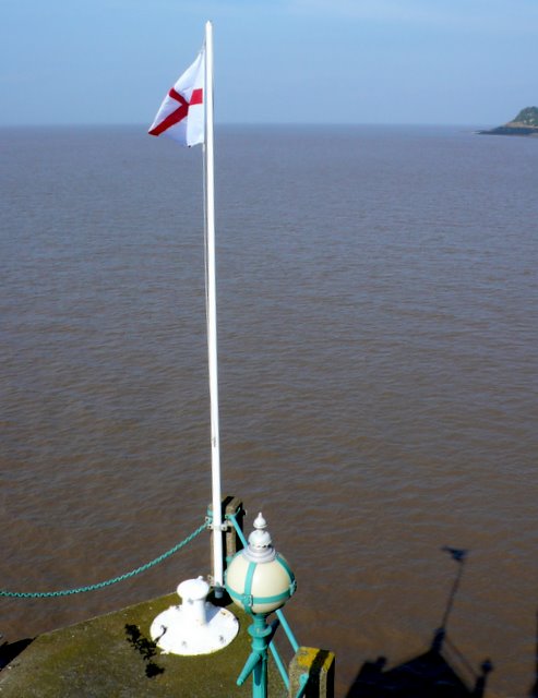
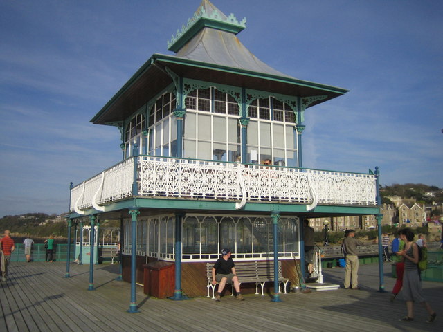
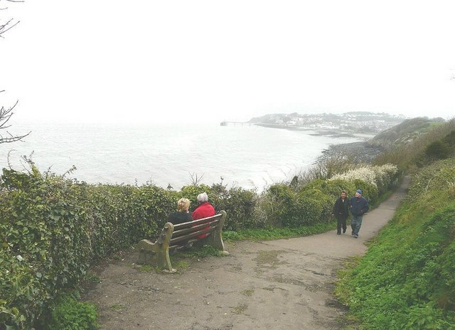
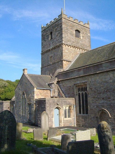
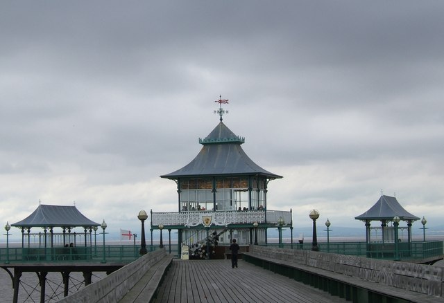
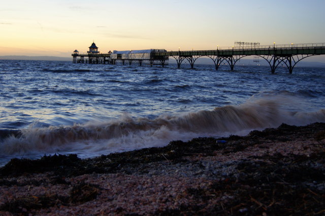
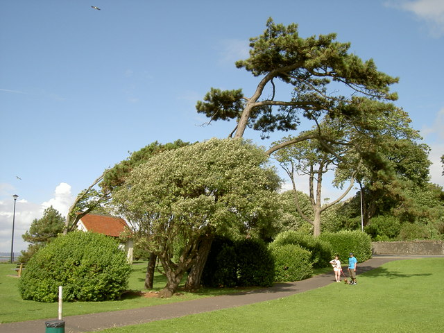
Dial Hill Images

Images are sourced within 2km of 51.443592/-2.8534205 or Grid Reference ST4071. Thanks to Geograph Open Source API. All images are credited.

St Georges Flag, Clevedon Pier-end. Only a small part of the end of the pier is in this square. This is the view north east with a small bit of Ladye Point (at ST408730) showing in the distance.

Corrected grid refs
St Georges Flag, Clevedon Pier-end.
Only a small part of the end of the pier is in this square. This is the view north east with a small bit of Ladye Point (at ST408730) showing in the distance. Corrected grid refs
Pavilion, Clevedon Pier
Poet's Walk, Clevedon The name of the walk is a commemoration of the poets and writers who have visited Clevedon. In the distance is the town and pier.
Poet's Walk, Clevedon
The name of the walk is a commemoration of the poets and writers who have visited Clevedon. In the distance is the town and pier.
Parish Church of St Andrew, Clevedon The church is also shown in <a href="https://www.geograph.org.uk/photo/288601">ST3970 : St Andrews church</a>. Parts date from the C12 <span class="nowrap"><a title="http://www.britishlistedbuildings.co.uk/en-33114-parish-church-of-st-andrew-clevedon" rel="nofollow ugc noopener" href="http://www.britishlistedbuildings.co.uk/en-33114-parish-church-of-st-andrew-clevedon">Link</a><img style="margin-left:2px;" alt="External link" title="External link - shift click to open in new window" src="https://s1.geograph.org.uk/img/external.png" width="10" height="10"/></span>
Parish Church of St Andrew, Clevedon
The church is also shown in ST3970 : St Andrews church. Parts date from the C12 LinkExternal link
St Andrew's church, Clevedon Seen from the coast path on Wain's Hill. See also <a href="https://www.geograph.org.uk/photo/288601">ST3970 : St Andrews church</a> and <a href="https://www.geograph.org.uk/photo/2615266">ST3970 : Parish Church of St Andrew, Clevedon</a>.
St Andrew's church, Clevedon
Seen from the coast path on Wain's Hill. See also ST3970 : St Andrews church and ST3970 : Parish Church of St Andrew, Clevedon.
Salthouse and Clevedon Bays With only a slight headland between them, the two bays merge into one in this view from the coast path.
Salthouse and Clevedon Bays
With only a slight headland between them, the two bays merge into one in this view from the coast path.
Cemetery chapel, Clevedon Seen from Old Church Road.
Cemetery chapel, Clevedon
Seen from Old Church Road.
Old Church Road, Clevedon The house, with interesting bargeboards, is at the corner of Church Close.
Old Church Road, Clevedon
The house, with interesting bargeboards, is at the corner of Church Close.
At Clevedon - view towards Salthouse Bay  with Church Hill and Wain's Hill beyond
At Clevedon - view towards Salthouse Bay with Church Hill and Wain's Hill beyond
St Andrew's Church St Andrew's Church, West End, Clevedon, seen across part of its extensive graveyard.
St Andrew's Church
St Andrew's Church, West End, Clevedon, seen across part of its extensive graveyard.
The western end of Clevedon Pier The western end of Clevedon Pier is occupied by an elaborate structure used as a tea-room.
The western end of Clevedon Pier
The western end of Clevedon Pier is occupied by an elaborate structure used as a tea-room.
Clevedon Pier
Clevedon Pier
Clevedon seafront looking towards the pier
Clevedon beach
Clevedon beach
Clevedon Pier in the evening
Clevedon Pier The paddle steamer Waverley at Clevedon pier in the setting sunlight.
Clevedon Pier
The paddle steamer Waverley at Clevedon pier in the setting sunlight.
Getting ready to put on a show August is the month of the annual Clevedon Flower Show, held on the popular Salthouse field. Preparations are in full swing with the marquees and the various entertainments being erected.
Getting ready to put on a show
August is the month of the annual Clevedon Flower Show, held on the popular Salthouse field. Preparations are in full swing with the marquees and the various entertainments being erected.
Blown by the wind Some of the seafront trees and shrubs on Clevedon's popular path, determined to keep a foothold in the face of the salty breezes. See <a href="https://www.geograph.org.uk/photo/3188661">ST3971 : Like the tresses of a mermaid</a> for more.
Blown by the wind
Some of the seafront trees and shrubs on Clevedon's popular path, determined to keep a foothold in the face of the salty breezes. See ST3971 : Like the tresses of a mermaid for more.
Show me another place!

Dial Hill is located at Grid Ref: ST4071 (Lat: 51.443592, Lng: -2.8534205)

Unitary Authority: North Somerset

Police Authority: Avon and Somerset

What 3 Words

///locals.cracks.looked. Near Clevedon, Somerset

Related Wikis

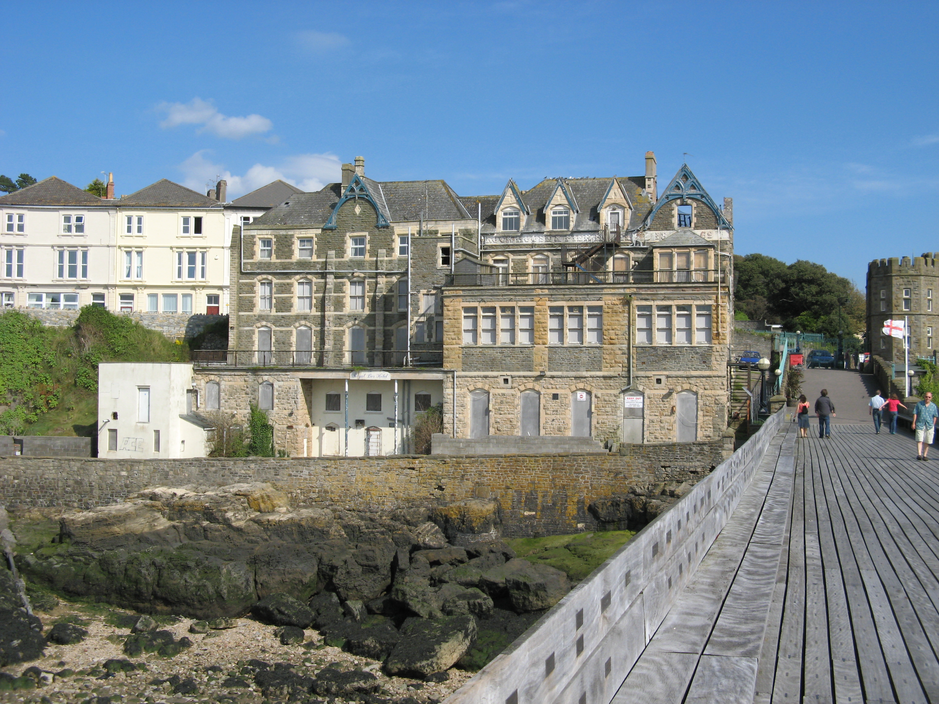
Royal Pier Hotel, Clevedon

The Royal Pier Hotel is a Grade II listed building in Clevedon, England. == History == The Royal Pier Hotel, originally known as the Rock House, was built...

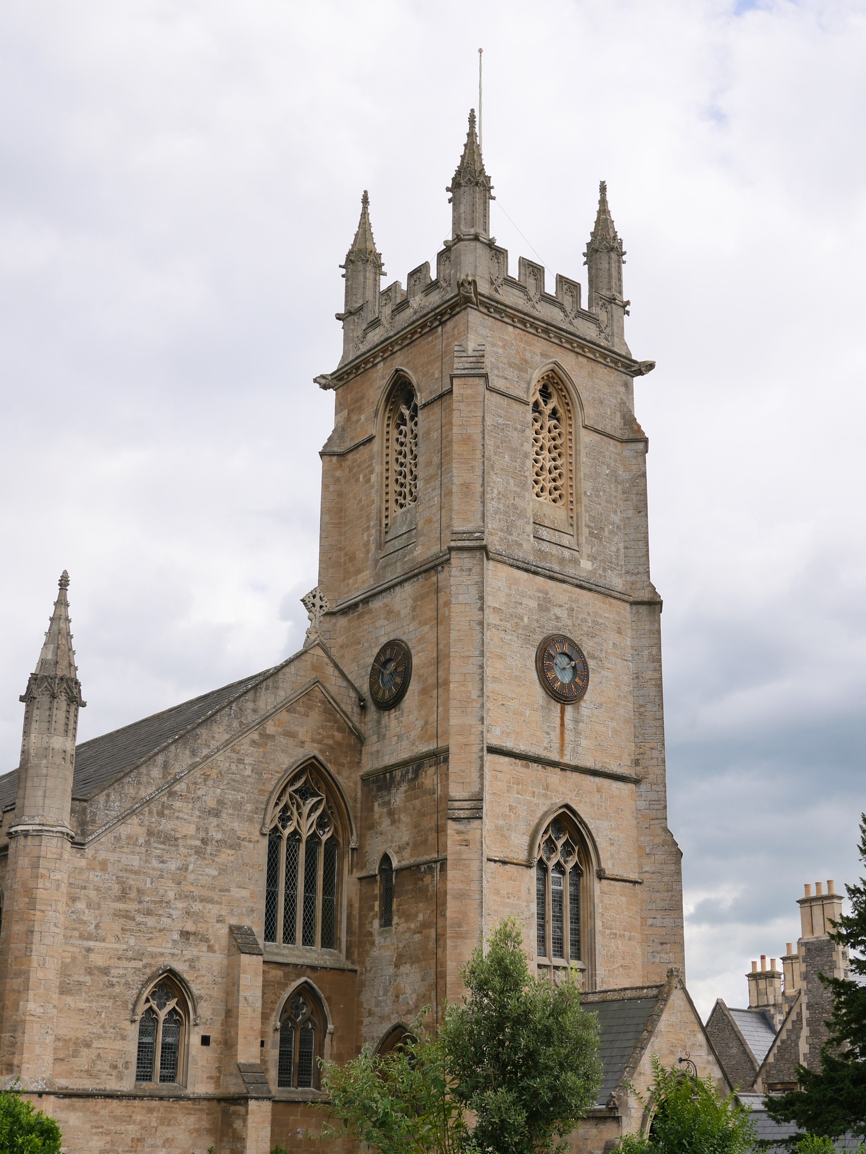
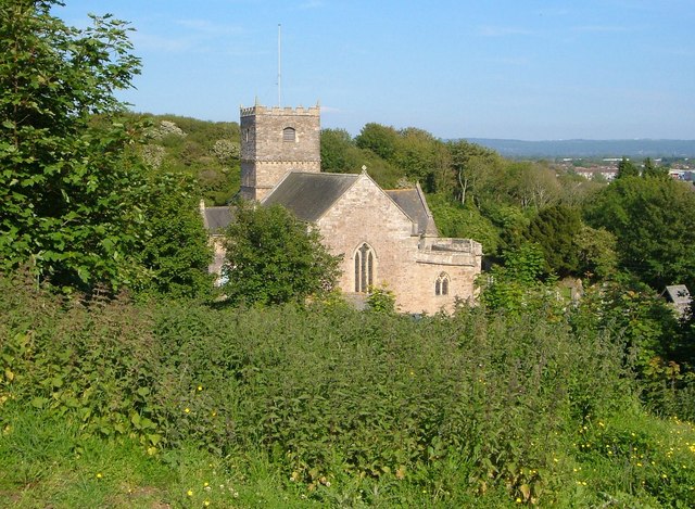
Christ Church, Clevedon

Christ Church in Clevedon, within the English county of Somerset was built between 1838 and 1839 by Richard Charles Hussey and Thomas Rickman and revised...
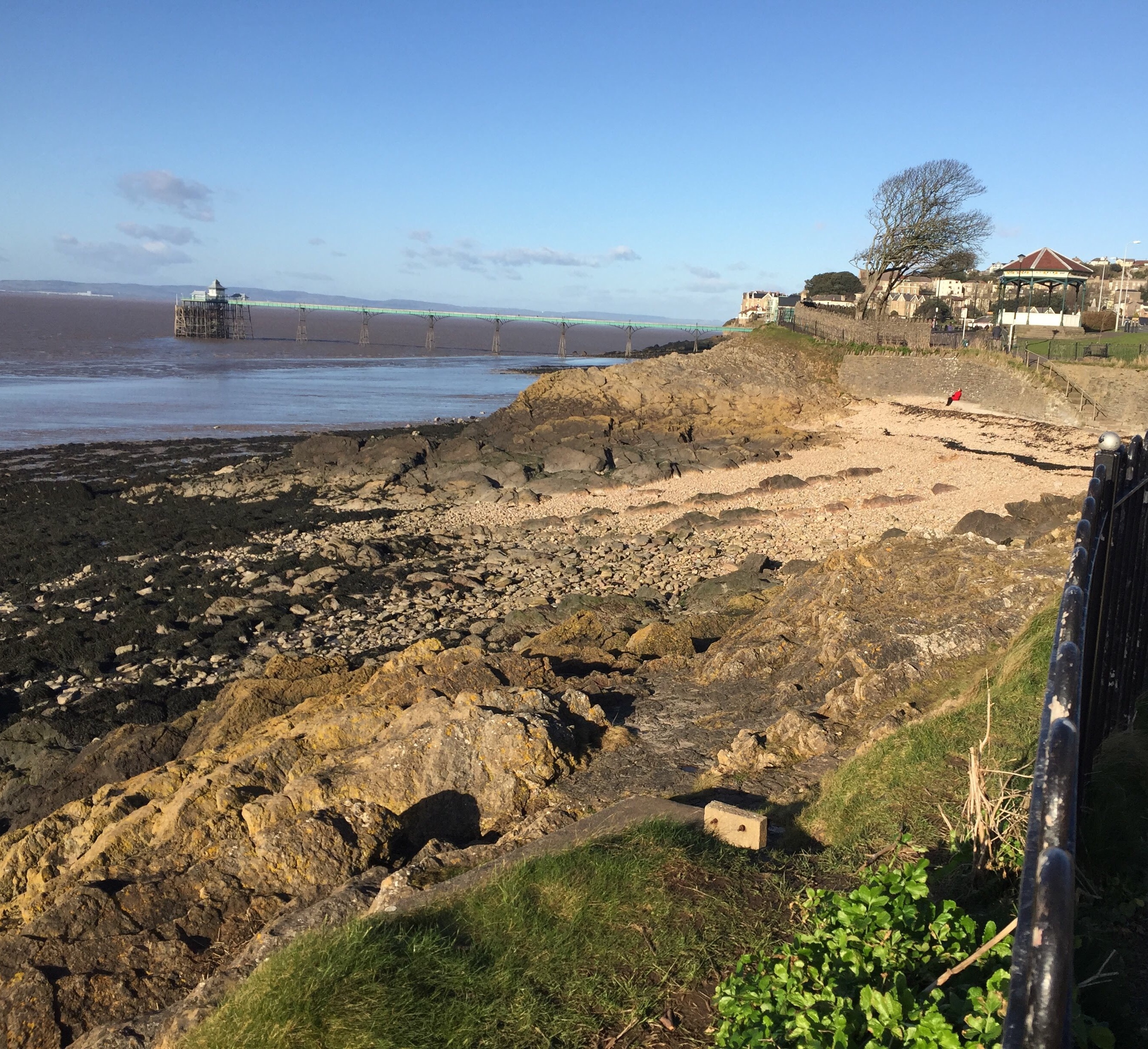
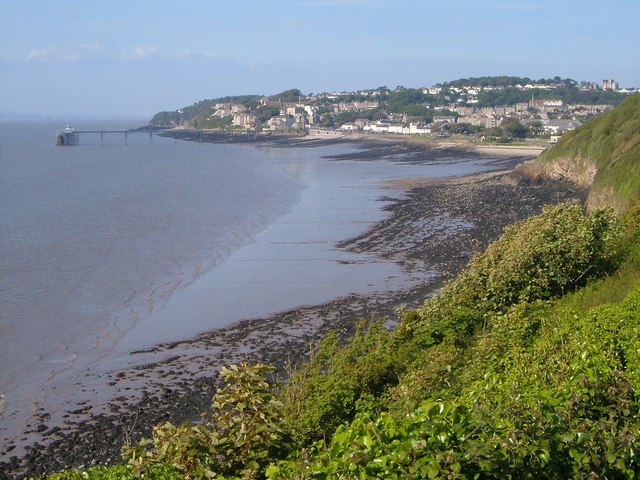
Clevedon Shore

Clevedon Shore (grid reference ST402719) is a 0.38 hectare geological Site of Special Scientific Interest adjacent to the Severn Estuary at Clevedon, North...
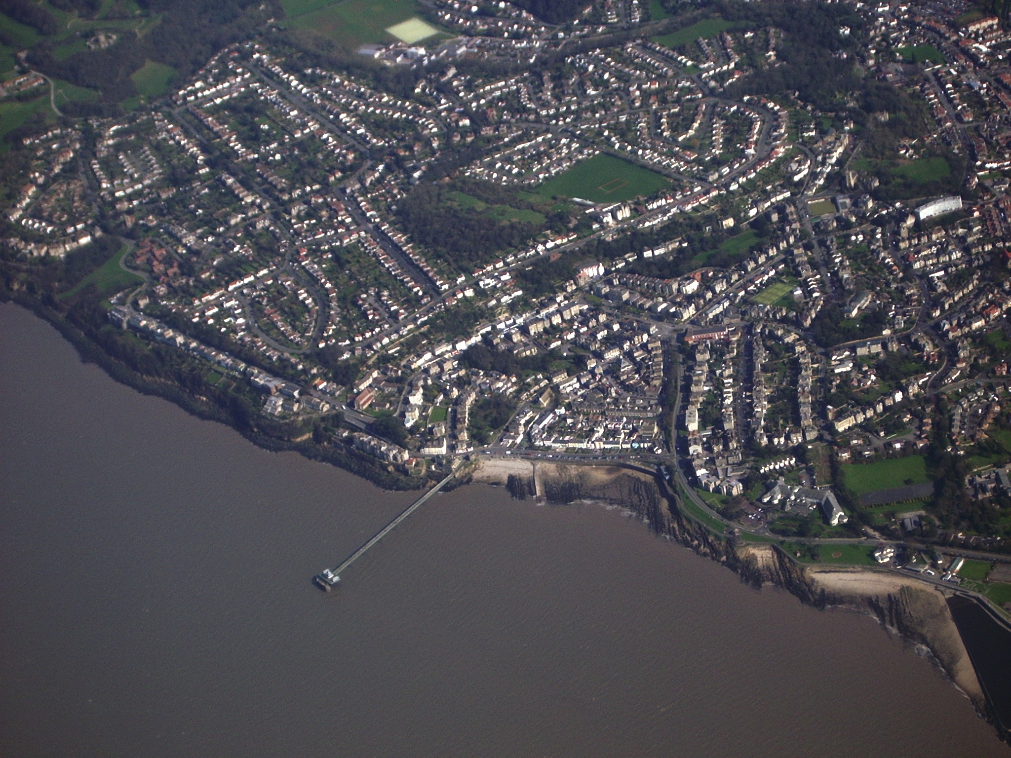
Clevedon

Clevedon (, KLEEV-dən) is a seaside town and civil parish in the unitary authority of North Somerset, England. It recorded a parish population of 21,281...

Nearby Amenities

Located within 500m of 51.443592,-2.8534205
Source: PGS
Lat/Long: 51.4467624/-2.8585211
Source: PGS
Lat/Long: 51.4463666/-2.8590618
Turning Circle
Lat/Long: 51.4448395/-2.8560872
Kerb: raised
Lat/Long: 51.4434811/-2.855867
Man Made: survey_point
Ref: BSM3275
Lat/Long: 51.4434999/-2.8535412
Bus Stop
Old Park Road
Bench: yes
Bin: no
Bus: yes
Lit: yes
Naptan AtcoCode: 0190NSC16191
Naptan Bearing: S
Naptan CommonName: Old Park Road
Naptan Crossing: Old Park Road
Naptan NaptanCode: wsmjmpm
Naptan Street: Cambridge Road
Naptan Verified: no
Public Transport: platform
Shelter: no
Source: naptan_import
Tactile Paving: no
Lat/Long: 51.4436268/-2.8486508
Bus Stop
Six Ways
Bench: yes
Bin: no
Bus: yes
Lit: yes
Local Ref: D
Naptan AtcoCode: 0190NSC30797
Naptan Bearing: N
Naptan CommonName: Six Ways
Naptan Crossing: Linden Road
Naptan Indicator: Stop D
Naptan NaptanCode: wsmdpjm
Naptan Street: Albert Road
Naptan Verified: no
Public Transport: platform
Shelter: yes
Source: naptan_import
Tactile Paving: no
Lat/Long: 51.4400609/-2.8574241
Bus Stop
Six Ways; Bellevue Road
Bench: yes
Bin: no
Bus: yes
Lit: no
Naptan AtcoCode: 0190NSC30798
Naptan Bearing: N
Naptan CommonName: Alexandra Road
Naptan Crossing: Alexandra Road
Naptan NaptanCode: wsmdpjp
Naptan Street: Bellevue Road
Naptan Verified: no
Public Transport: platform
Shelter: yes
Source: naptan_import
Tactile Paving: no
Lat/Long: 51.4410231/-2.8571432
Bus Stop
Linden Road
Bench: yes
Bin: no
Bus: yes
Lit: no
Naptan AtcoCode: 0190NSC30799
Naptan Bearing: S
Naptan CommonName: Linden Road
Naptan Crossing: Linden Road
Naptan NaptanCode: wsmdpjt
Naptan Street: Bellevue Road
Naptan Verified: no
Public Transport: platform
Shelter: yes
Source: naptan_import
Tactile Paving: no
Lat/Long: 51.4408942/-2.8570211
Bus Stop
Copse Road
Bus: yes
Naptan AtcoCode: 0190NSC30800
Naptan Bearing: NW
Naptan CommonName: Copse Road
Naptan Crossing: Copse Road
Naptan NaptanCode: wsmdpjg
Naptan Street: Hill Road
Naptan Verified: no
Public Transport: platform
Shelter: no
Source: naptan_import
Lat/Long: 51.4434329/-2.8582028
Bus Stop
Copse Road
Bus: yes
Naptan AtcoCode: 0190NSC30801
Naptan Bearing: SE
Naptan CommonName: Copse Road
Naptan Crossing: Copse Road
Naptan NaptanCode: wsmdpjd
Naptan Street: Hill Road
Naptan Verified: no
Public Transport: platform
Shelter: yes
Source: naptan_import
Lat/Long: 51.4437799/-2.8586678
Bus Stop
Wellington Terrace
Bench: no
Bin: no
Bus: yes
Lit: yes
Naptan AtcoCode: 0190NSC30802
Naptan Bearing: NE
Naptan CommonName: Wellington Terrace
Naptan Crossing: Wellington Terrace
Naptan NaptanCode: wsmdpgm
Naptan Street: Marine Parade
Naptan Verified: no
Public Transport: platform
Shelter: no
Source: naptan_import
Tactile Paving: no
Lat/Long: 51.4448394/-2.8595652
Bus Stop
Wellington Terrace
Bench: yes
Bin: yes
Bus: yes
Lit: yes
Naptan AtcoCode: 0190NSC30803
Naptan Bearing: SW
Naptan CommonName: Wellington Terrace
Naptan Crossing: Marine Parade
Naptan NaptanCode: wsmdpgp
Naptan Street: Wellington Terrace
Naptan Verified: no
Public Transport: platform
Shelter: yes
Source: naptan_import
Tactile Paving: no
Lat/Long: 51.4446228/-2.8596461
Bus Stop
Robin Lane
Bench: yes
Bin: no
Bus: yes
Lit: no
Naptan AtcoCode: 0190NSC30804
Naptan Bearing: SW
Naptan CommonName: Robin Lane
Naptan Crossing: Robin Lane
Naptan NaptanCode: wsmdpmd
Naptan Street: Wellington Terrace
Naptan Verified: no
Public Transport: platform
Shelter: yes
Source: naptan_import
Tactile Paving: no
Lat/Long: 51.447517/-2.8562916
Bus Stop
Robin Lane
Bench: no
Bin: no
Bus: yes
Lit: no
Naptan AtcoCode: 0190NSC30805
Naptan Bearing: NE
Naptan CommonName: Robin Lane
Naptan Crossing: Dial Hill Road
Naptan NaptanCode: wsmdpjw
Naptan Street: Wellington Terrace
Naptan Verified: no
Public Transport: platform
Shelter: no
Source: naptan_import
Tactile Paving: no
Lat/Long: 51.4473305/-2.8567219
Bus Stop
Dial Hill Road
Bus: yes
Naptan AtcoCode: 0190NSC30806
Naptan Bearing: N
Naptan CommonName: Dial Hill Road
Naptan Crossing: Dial Hill Road
Naptan NaptanCode: wsmdptj
Naptan Street: Robin Lane
Naptan Verified: no
Public Transport: platform
Source: naptan_import
Lat/Long: 51.4469423/-2.8549332
Bus Stop
Robin Lane
Bench: no
Bin: no
Bus: yes
Lit: yes
Naptan AtcoCode: 0190NSC30807
Naptan Bearing: NE
Naptan CommonName: Robin Lane
Naptan Crossing: Robin Lane
Naptan NaptanCode: wsmdtaj
Naptan Street: King's Road
Naptan Verified: no
Public Transport: platform
Shelter: no
Source: naptan_import
Tactile Paving: no
Lat/Long: 51.445696/-2.8524645
Bus Stop
Edward Road
Bus: yes
Naptan AtcoCode: 0190NSC30808
Naptan Bearing: SE
Naptan CommonName: Edward Road
Naptan Crossing: Edward Road
Naptan NaptanCode: wsmdtga
Naptan Street: Cambridge Road
Naptan Verified: no
Public Transport: platform
Source: naptan_import
Lat/Long: 51.4458974/-2.8494495
Bus Stop
Thackeray Avenue
Bench: no
Bin: no
Bus: yes
Lit: yes
Naptan AtcoCode: 0190NSC30809
Naptan Bearing: SE
Naptan CommonName: Thackeray Avenue
Naptan Crossing: Thackeray Avenue
Naptan NaptanCode: wsmdtgt
Naptan Street: Old Park Road
Naptan Verified: no
Public Transport: platform
Shelter: no
Source: naptan_import
Tactile Paving: no
Lat/Long: 51.4417934/-2.8481
Bus Stop
Park Road
Bus: yes
Naptan AtcoCode: 0190NSC30812
Naptan Bearing: W
Naptan CommonName: Park Road
Naptan Crossing: Park Road
Naptan NaptanCode: wsmdtdj
Naptan Street: Dial Hill Road
Naptan Verified: no
Public Transport: platform
Source: naptan_import
Lat/Long: 51.44025/-2.8501562
Bus Stop
Kings Road
Bench: yes
Bin: no
Bus: yes
Lit: no
Naptan AtcoCode: 0190NSC30813
Naptan Bearing: N
Naptan CommonName: Kings Road
Naptan Crossing: Kings Road
Naptan NaptanCode: wsmdpta
Naptan Street: Dial Hill Road
Naptan Verified: no
Public Transport: platform
Shelter: yes
Source: naptan_import
Tactile Paving: no
Lat/Long: 51.4434998/-2.8559777
Bus Stop
Robin Lane
Bus: yes
Naptan AtcoCode: 0190NSC30815
Naptan Bearing: NE
Naptan CommonName: Robin Lane
Naptan Crossing: Robin Lane
Naptan NaptanCode: wsmdpmw
Naptan Street: Dial Hill Road
Naptan Verified: no
Public Transport: platform
Source: naptan_import
Lat/Long: 51.446676/-2.8557175
Post Box
Collection Times: Mo-Fr 09:00, Sa 07:00
Post Box Type: pillar
Ref: BS21 19D
Royal Cypher: VR
Royal Cypher Wikidata: Q33102356
Source: survey
Lat/Long: 51.4422237/-2.8563559
Post Box
Check Date: 2021-04-09
Collection Times: Mo-Fr 09:00, Sa 07:00
Post Box Type: wall
Ref: BS21 6
Royal Cypher: GVIR
Royal Cypher Wikidata: Q33102169
Lat/Long: 51.443769/-2.8593793
Drinking Water
Marine Hill Drinking Fountain and Trough
Date Start: 1902
Disused: yes
Historic: memorial
Inscription: Edward Long
Memorial Type: drinking_fountain
Source: survey
Lat/Long: 51.4438362/-2.8605234
Barrier: bollard
Lat/Long: 51.4426883/-2.8571038
Barrier: bollard
Lat/Long: 51.4432665/-2.8580071
Booth: K6
Removed Amenity: telephone
Lat/Long: 51.4434642/-2.8489976
Bench
Backrest: yes
Check Date: 2021-04-09
Lat/Long: 51.4437404/-2.8605475
Bench
Check Date: 2021-07-04
Lat/Long: 51.439507/-2.8510519
Post Box
Check Date: 2021-07-04
Collection Times: Mo-Fr 09:00, Sa 07:00
Post Box Type: wall
Ref: BS21 15
Royal Cypher: EIIR
Royal Cypher Wikidata: Q33102113
Lat/Long: 51.4396978/-2.8526772
Grit Bin
Lat/Long: 51.4401338/-2.8507249
Post Box
Check Date: 2021-07-04
Collection Times: Mo-Fr 18:00, Sa 13:00
Post Box Type: wall
Ref: BS21 1120
Royal Cypher: no
Lat/Long: 51.440377/-2.8575291
Bench
Backrest: yes
Check Date: 2021-07-04
Lat/Long: 51.4407248/-2.8576119
Grit Bin
Lat/Long: 51.4408773/-2.8576348
Post Box
Check Date: 2021-07-08
Collection Times: Mo-Fr 09:00, Sa 07:00
Post Box Type: pillar
Ref: BS21 1111D
Royal Cypher: EIIR
Royal Cypher Wikidata: Q33102113
Lat/Long: 51.4410119/-2.8571998
Post Box
Check Date: 2021-07-07
Collection Times: Mo-Fr 09:00, Sa 07:00
Post Box Type: wall
Ref: BS21 37
Royal Cypher: EIIR
Royal Cypher Wikidata: Q33102113
Lat/Long: 51.4412881/-2.8533911
Post Box
Check Date: 2023-02-12
Collection Times: Mo-Fr 09:00; Sa 07:00
Post Box Type: pillar
Ref: BS21 31
Royal Cypher: EIIR
Royal Cypher Wikidata: Q33102113
Lat/Long: 51.4416228/-2.8481908
Post Box
Collection Times: Mo-Fr 17:15; Sa 12:15
Post Box Type: wall
Ref: BS21 9
Royal Cypher: EVIIR
Royal Cypher Wikidata: Q33102324
Survey Date: 2014-03-17
Lat/Long: 51.4445304/-2.8483865
Post Box
Check Date: 2021-07-08
Collection Times: Mo-Fr 17:30; Sa 12:15
Post Box Type: pillar
Ref: BS21 24
Royal Cypher: GR
Royal Cypher Wikidata: Q33102273
Lat/Long: 51.4451582/-2.8578803
Post Box
Check Date: 2021-07-10
Collection Times: Mo-Fr 09:00; Sa 07:00
Post Box Type: pillar
Ref: BS21 13
Royal Cypher: EVIIIR
Royal Cypher Wikidata: Q33102195
Lat/Long: 51.4457046/-2.8521442
Telephone
Booth: K6
Covered: booth
Lat/Long: 51.4475311/-2.8562709
Grit Bin
Lat/Long: 51.4391884/-2.8524443
ROC Post Clevedon
Access: no
Alt Name: Clevedon Royal Observer Corps Post
Building: bunker
Bunker Type: observation
Description: Royal Observer Corps cold war nuclear fallout shelter and monitoring post. Operational 1959 to 1991.
End Date: 1991
Historic: ruins
Location: underground
Military: bunker
Source: https://en.wikipedia.org/wiki/Royal_Observer_Corps_Monitoring_Post;https://www.subbrit.org.uk/sites/clevedon-roc-post
Start Date: 1959
Lat/Long: 51.4435185/-2.8535651
Dial Hill
Ele: 90
Natural: peak
Lat/Long: 51.4437143/-2.8529454
Waste Basket
Lat/Long: 51.4432389/-2.8578736
Bench
Lat/Long: 51.443251/-2.8578997
Bench
Lat/Long: 51.4433047/-2.8579828
Restaurant
Puro
Addr City: Clevedon
Addr Housenumber: 32-34
Addr Postcode: BS21 7PH
Addr Street: Hill Road
Fhrs Id: 186137
Level: -1
Source Addr: FHRS Open Data
Lat/Long: 51.4435803/-2.8587177
Waste Basket
Lat/Long: 51.4437739/-2.8586508
Atm
Lat/Long: 51.4428584/-2.8573883
Waste Basket
Lat/Long: 51.4423533/-2.8565546
Bench
Lat/Long: 51.4423006/-2.8564654
Bench
Lat/Long: 51.4424047/-2.8566518
Walton Park
Place: suburb
Lat/Long: 51.4460926/-2.8501669
Bench
Backrest: yes
Material: wood
Seats: 2
Survey Date: 2019-02-26
Lat/Long: 51.4445751/-2.8600529
Bench
Backrest: yes
Material: wood
Seats: 2
Survey Date: 2019-02-26
Lat/Long: 51.4464716/-2.8586246
Bank
Monmouthshire Building Society
Addr City: Clevedon
Addr Postcode: BS21 7NP
Addr Street: Bellevue Road
Operator: Monmouthshire Building Society
Lat/Long: 51.4409595/-2.8573182
Defibrillator
Emergency: defibrillator
Indoor: no
Lat/Long: 51.4397201/-2.85707
Bus Stop
Bus: yes
Naptan AtcoCode: 0190NSB00034
Naptan NaptanCode: wsmpgat
Public Transport: platform
Lat/Long: 51.4417028/-2.8539763
Bus Stop
Bus: yes
Naptan AtcoCode: 0190NSB00033
Naptan NaptanCode: wsmpgap
Public Transport: platform
Lat/Long: 51.4452882/-2.8580158
Addr City: Clevedon
Addr Housename: Picton Cottage
Addr Housenumber: 12A
Addr Postcode: BS21 7PS
Addr Street: Wellington Terrace
Lat/Long: 51.4463654/-2.8580417
Addr City: Clevedon
Addr Housename: Flatholm
Addr Housenumber: 12A
Addr Postcode: BS21 7PS
Addr Street: Wellington Terrace
Lat/Long: 51.4463265/-2.8580835
Addr City: Clevedon
Addr Housename: Clarendon House
Addr Housenumber: 14
Addr Postcode: BS21 7PS
Addr Street: Wellington Terrace
Lat/Long: 51.4464734/-2.8579076
Addr City: Clevedon
Addr Housename: Moorings
Addr Housenumber: 14
Addr Postcode: BS21 7PS
Addr Street: Wellington Terrace
Lat/Long: 51.4465322/-2.8578487
Addr City: Clevedon
Addr Housename: Waverley
Addr Housenumber: 18
Addr Postcode: BS21 7PT
Addr Street: Wellington Terrace
Lat/Long: 51.4467363/-2.8575906
Addr City: Clevedon
Addr Housename: Avon
Addr Housenumber: 18
Addr Postcode: BS21 7PT
Addr Street: Wellington Terrace
Lat/Long: 51.446759/-2.857564
Addr City: Clevedon
Addr Housename: Chepstow
Addr Housenumber: 18
Addr Postcode: BS21 7PT
Addr Street: Wellington Terrace
Lat/Long: 51.4467841/-2.8575341
Addr City: Clevedon
Addr Housename: Monmouth
Addr Housenumber: 18
Addr Postcode: BS21 7PT
Addr Street: Wellington Terrace
Lat/Long: 51.4468062/-2.8575793
Addr City: Clevedon
Addr Housename: Usk
Addr Housenumber: 18
Addr Postcode: BS21 7PT
Addr Street: Wellington Terrace
Lat/Long: 51.4467821/-2.8576091
Addr City: Clevedon
Addr Housename: Newport
Addr Housenumber: 18
Addr Postcode: BS21 7PT
Addr Street: Wellington Terrace
Lat/Long: 51.4467605/-2.8576342
Addr City: Clevedon
Addr Housenumber: 20
Addr Postcode: BS21 7PT
Addr Street: Wellington Terrace
Lat/Long: 51.4468879/-2.8574009
Addr City: Clevedon
Addr Housenumber: 20A
Addr Postcode: BS21 7PT
Addr Street: Wellington Terrace
Lat/Long: 51.4468453/-2.8574787
Addr City: Clevedon
Addr Housenumber: 26A
Addr Postcode: BS21 7PT
Addr Street: Wellington Terrace
Lat/Long: 51.4470956/-2.8570998
Addr City: Clevedon
Addr Housenumber: 26
Addr Postcode: BS21 7PT
Addr Street: Wellington Terrace
Lat/Long: 51.4470906/-2.8572158
Bench
Backrest: yes
Lat/Long: 51.4435089/-2.8535124
Bench
Backrest: yes
Lat/Long: 51.4435456/-2.8534413
Bench
Backrest: yes
Lat/Long: 51.4415505/-2.852477
Bench
Backrest: yes
Lat/Long: 51.4415179/-2.8523803
Bench
Backrest: yes
Lat/Long: 51.4414916/-2.8522847
Bench
Backrest: yes
Lat/Long: 51.4435019/-2.8557677
Bench
Backrest: yes
Lat/Long: 51.4434017/-2.8537677
Playground: swing
Lat/Long: 51.4412684/-2.8520474
Playground: slide
Lat/Long: 51.4413403/-2.8519659
Playground: springy
Lat/Long: 51.4413925/-2.8518821
Playground: seesaw
Lat/Long: 51.4413657/-2.8519216
BikeStyle
Addr City: Clevedon
Addr Housenumber: 25b
Addr Postcode: BS21 7QH
Addr Street: Alexandra Road
Phone: +44 1275 876572
Shop: bicycle
Website: https://www.bike-style.co.uk
Lat/Long: 51.4418405/-2.8592326
Aquarian Cladding
Addr City: Clevedon
Addr Housenumber: 22
Addr Postcode: BS21 7NZ
Addr Street: Hill Road
Lat/Long: 51.4427385/-2.85726
Barrier: cycle_barrier
Cycle Barrier: double
Cycle Barrier Installation: fixed
Lat/Long: 51.4436136/-2.8486144
Barrier: bollard
Bollard: foldable
Lat/Long: 51.4449918/-2.8526575
Bench
Backrest: yes
Lat/Long: 51.443407/-2.856094
Bench
Backrest: yes
Lat/Long: 51.4446427/-2.85948
Bench
Backrest: yes
Lat/Long: 51.4433927/-2.8559967
Bench
Backrest: yes
Lat/Long: 51.4431356/-2.8567216
Barrier: yes
Temporary: yes
Lat/Long: 51.4447943/-2.8600077
Bicycle Parking
Capacity: 2
Lat/Long: 51.443725/-2.8585991
Bicycle Parking
Capacity: 4
Lat/Long: 51.442701/-2.8568932
Sixways Clevedon One Stop & PO
Defibrillator
Addr City: Clevedon
Addr Housenumber: 9-11
Addr Postcode: BS21 7NP
Addr Street: Bellevue Road
Emergency: defibrillator
Ref: 1048
Lat/Long: 51.4411255/-2.8571247
Entrance: main
Lat/Long: 51.4412904/-2.858353
Dog Grooming
Treats
Shop: pet_grooming
Lat/Long: 51.4413326/-2.8578427
Clinic
Nimble
Healthcare: clinic
Lat/Long: 51.4411516/-2.8576691
Byrom Associates
Office: company
Lat/Long: 51.4410639/-2.8575772
Discover Clevedon
Information: board
Tourism: information
Lat/Long: 51.4409234/-2.8571807
Alexandra Gardens
Power: substation
Ref: 1284
Lat/Long: 51.4428439/-2.8580546
Clevedon History Trail
Information: board
Ref: No 4 - Hill Road
Tourism: information
Lat/Long: 51.4422041/-2.8560638
Marker: post
Ref: 4 H 18
Utility: hydrant
Lat/Long: 51.4419139/-2.8561856
Man Made: street_cabinet
Lat/Long: 51.4422333/-2.8563716
Addr Housename: Buckingham House
Addr Housenumber: 87
Addr Street: Hill Road
Building: yes
Fixme: location
Lat/Long: 51.4435935/-2.8579068
Information: map
Operator: Discover Clevedon
Tourism: information
Lat/Long: 51.443316/-2.8580592
Alexandra Gardens
Information: board
Tourism: information
Lat/Long: 51.4432807/-2.8580344
Clevedon History Trail
Information: board
Operator: Discover Clevedon
Ref: No 5 - Hill Road West
Tourism: information
Lat/Long: 51.4432242/-2.8578462
The data included in this document is from www.openstreetmap.org. The data is made available under ODbL.

Have you been to Dial Hill?

Leave your review of Dial Hill below (or comments, questions and feedback).