Crook Hill
Hill, Mountain in Lancashire South Lakeland
England
Crook Hill

Crook Hill is a prominent feature located in Lancashire, England. Standing at an elevation of approximately 434 meters (1,425 feet), it is classified as a hill rather than a mountain. It is situated within the South Pennines, an upland region known for its stunning landscapes and picturesque views.
The hill is located near the village of Belmont, which lies within the borough of Chorley. Crook Hill is easily accessible, as it is situated just a short distance from the A675 road. Its location makes it a popular destination for outdoor enthusiasts, hikers, and nature lovers.
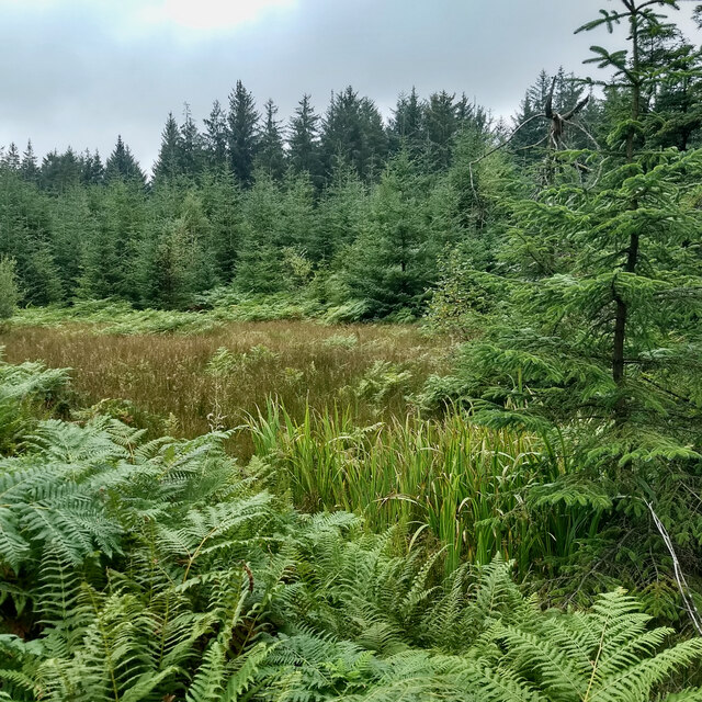
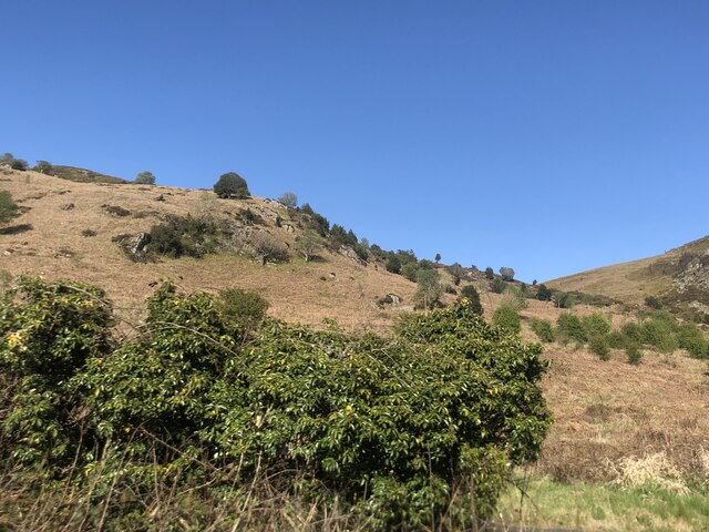
The terrain of Crook Hill consists of rugged moorland, characterized by open grasslands, heather, and scattered patches of trees. It offers breathtaking panoramic vistas, providing visitors with sweeping views of the surrounding countryside. On clear days, it is possible to see as far as the Welsh mountains and the Isle of Man.
Crook Hill is an excellent location for walking and hiking, with various trails and pathways crisscrossing the area. The hill is also home to an abundance of wildlife, including birds, small mammals, and plant species that thrive in the moorland habitat.
Overall, Crook Hill in Lancashire is a natural gem, offering visitors a chance to immerse themselves in the beauty of the South Pennines. Its accessible location, stunning views, and diverse wildlife make it an attractive destination for nature enthusiasts and those seeking a peaceful retreat amidst the rolling hills of Lancashire.
If you have any feedback on the listing, please let us know in the comments section below.
Crook Hill Images
Images are sourced within 2km of 54.2607/-2.9610608 or Grid Reference SD3785. Thanks to Geograph Open Source API. All images are credited.

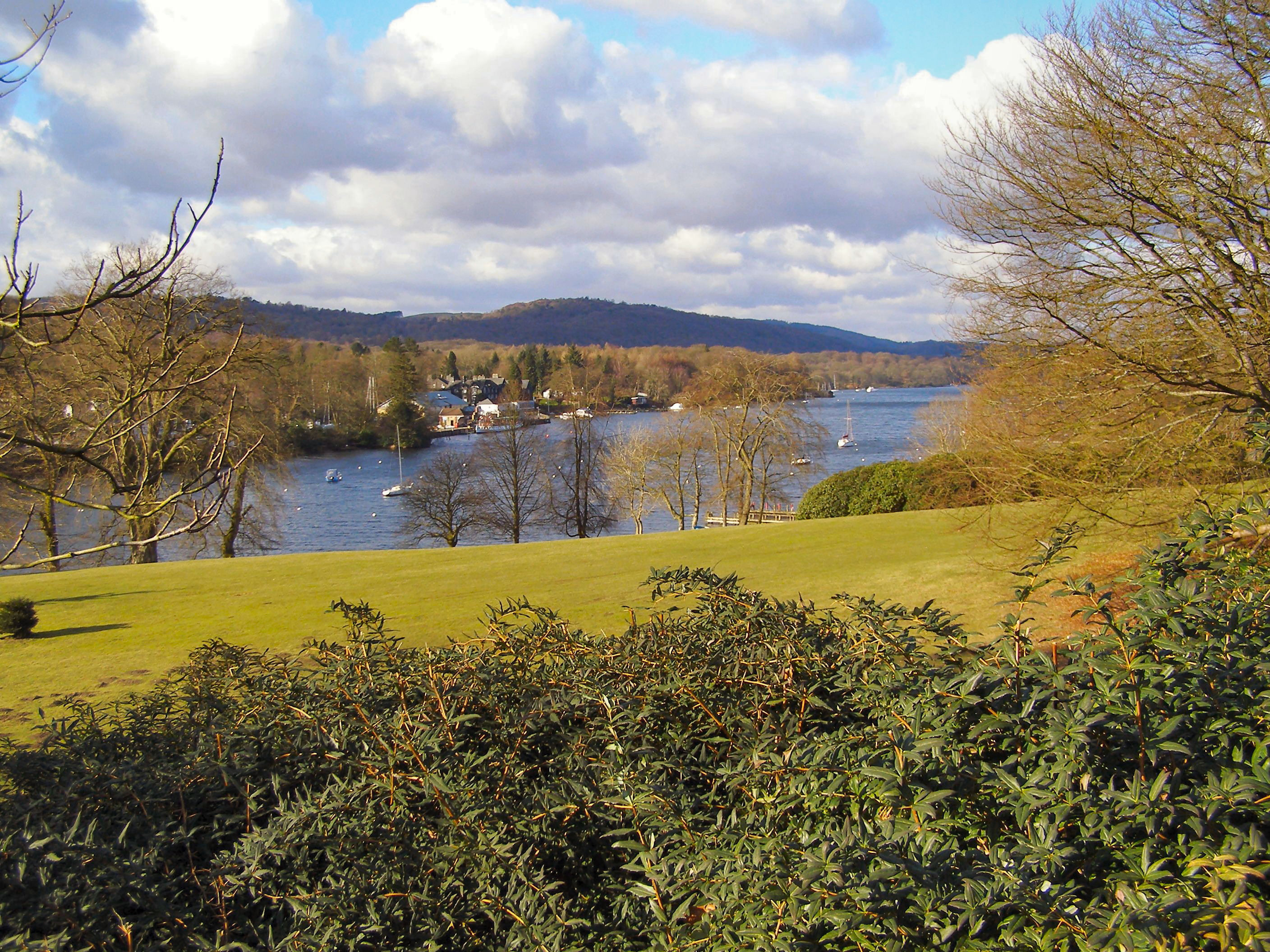
![Boat on the River Leven Heading upstream [locally north] towards Fell Foot and Lakeside.](https://s2.geograph.org.uk/geophotos/06/91/69/6916926_036d6930.jpg)


Crook Hill is located at Grid Ref: SD3785 (Lat: 54.2607, Lng: -2.9610608)
Administrative County: Cumbria
District: South Lakeland
Police Authority: Cumbria
What 3 Words
///clipboard.deflate.acclaimed. Near Grange-over-Sands, Cumbria
Nearby Locations
Related Wikis
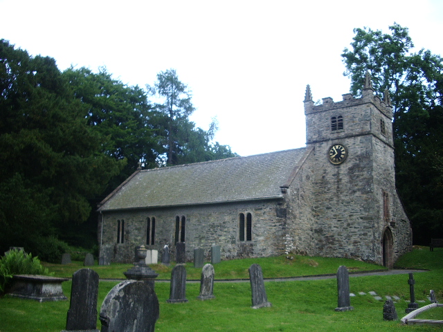
St Mary's Church, Staveley
St Mary's Church is in the village of Staveley-in-Cartmel, Cumbria, England. It is an active Anglican parish church in the deanery of Windermere, the archdeaconry...
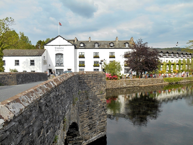
Newby Bridge
Newby Bridge is a small hamlet in the Lake District, Cumbria, England. Historically in Lancashire, it is located several miles west of Grange-over-Sands...

Staveley-in-Cartmel
Staveley-in-Cartmel is a small village and civil parish in South Lakeland district, Cumbria, England. It lies east of Newby Bridge, near the south end...

Newby Bridge Halt railway station
Newby Bridge Halt (also known, historically, as Newby Bridge Platform) is a railway station on the Lakeside and Haverthwaite heritage railway. It serves...
Fell Foot Park
Fell Foot Park is a country park situated at the southern end of Windermere in Cumbria, the largest lake in England. It is north of Newby Bridge in the...
Bigland Barrow
Bigland Barrow is a hill in the English Lake District, near Backbarrow, Cumbria. It is the subject of a chapter of Wainwright's book The Outlying Fells...
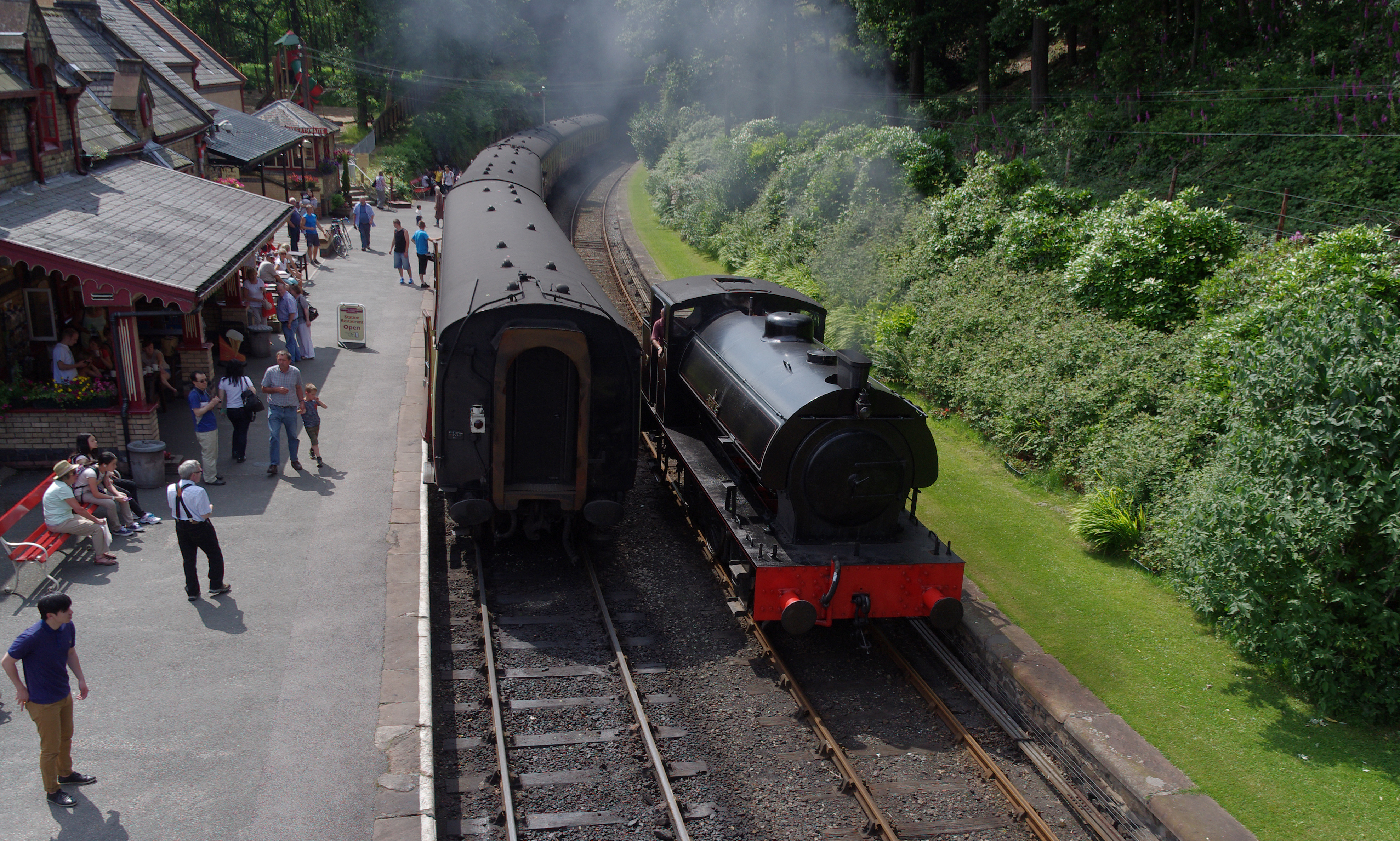
Lakeside and Haverthwaite Railway
The Lakeside and Haverthwaite Railway (L&HR) is a 3.2-mile-long (5.1 km) heritage railway in Cumbria, England. == Location == The L&HR runs from Haverthwaite...
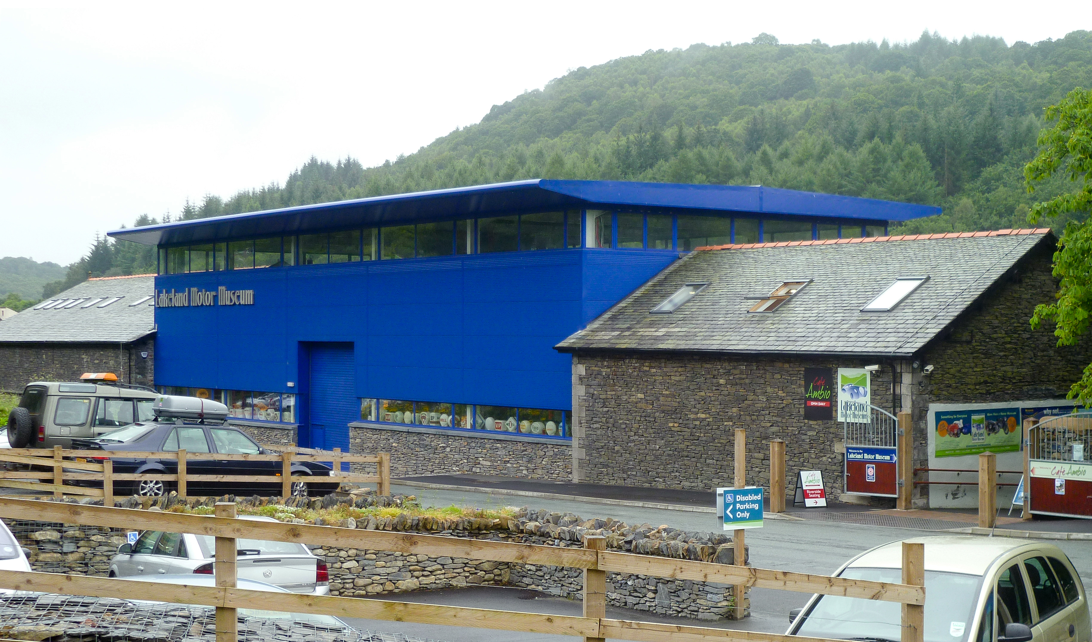
Lakeland Motor Museum
The Lakeland Motor Museum is a museum now located at Backbarrow, Cumbria, England which houses a collection of classic cars, motorcycles, bicycles, pedal...
Nearby Amenities
Located within 500m of 54.2607,-2.9610608Have you been to Crook Hill?
Leave your review of Crook Hill below (or comments, questions and feedback).