Applebury Hill

Hill, Mountain in Lancashire South Lakeland

England

Applebury Hill

Holker Hall Gardens Viewed from an upstairs window of the Hall, which dates back to the early 1600s.
Holker Hall Gardens Credit: pam fray

Applebury Hill is a prominent geographical feature located in the county of Lancashire, England. It is a hill that forms part of the Pennine range, which stretches across the northern part of the country. Applebury Hill is situated in the western region of Lancashire, near the town of Applebury.

Rising to an elevation of approximately 400 meters (1,312 feet), Applebury Hill offers breathtaking panoramic views of the surrounding landscape. The hill is renowned for its picturesque scenery, with rolling green hills, meandering streams, and charming villages dotting the countryside. It provides a peaceful and tranquil retreat for nature lovers and hikers alike.

The hill is covered in lush vegetation, primarily consisting of grasses, heather, and shrubs. Its slopes are gentle, making it suitable for leisurely walks and outdoor activities. The hill is also home to a diverse array of wildlife, including various bird species, rabbits, and occasionally deer.

Applebury Hill has a rich historical significance, with evidence of human habitation dating back to ancient times. Archaeological discoveries in the area have revealed remnants of ancient settlements and burial mounds, indicating that the hill was once an important site of human activity.

Access to Applebury Hill is facilitated by well-maintained footpaths and trails, ensuring that visitors can explore its natural beauty with ease. The hill attracts a steady stream of tourists throughout the year, who come to enjoy its scenic vistas and engage in outdoor pursuits such as walking, hiking, and photography.

In conclusion, Applebury Hill in Lancashire is a captivating natural feature that offers stunning views, diverse wildlife, and a glimpse into the region's rich history. It is a popular destination for outdoor enthusiasts and those seeking a peaceful escape in the heart of the English countryside.

If you have any feedback on the listing, please let us know in the comments section below.

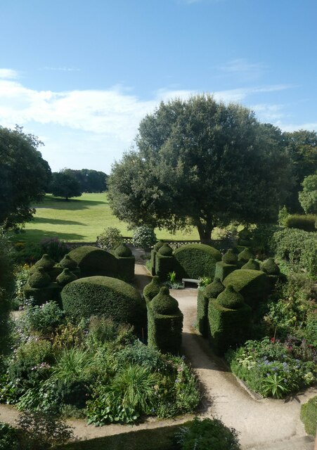
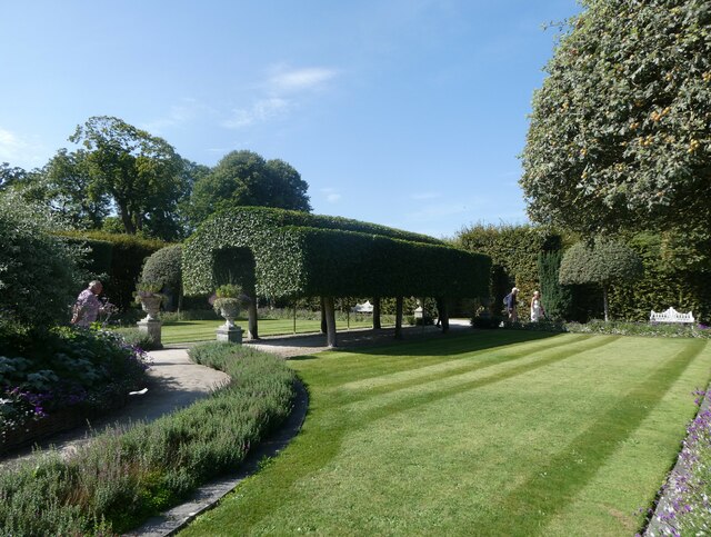
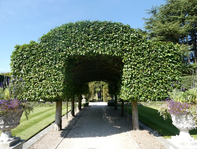
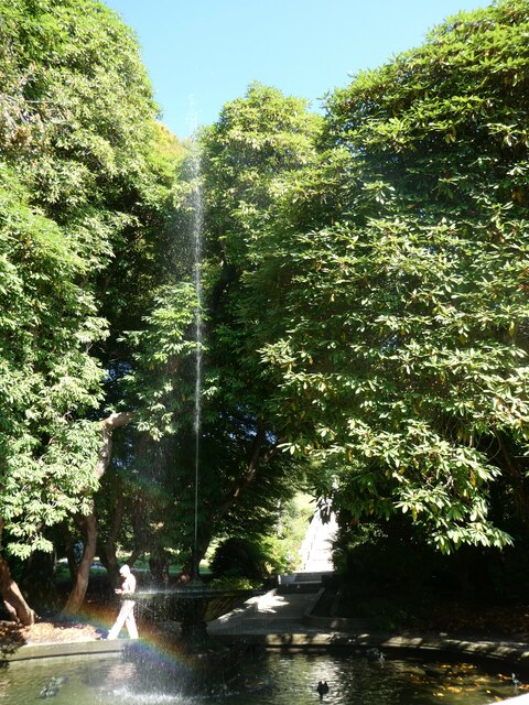
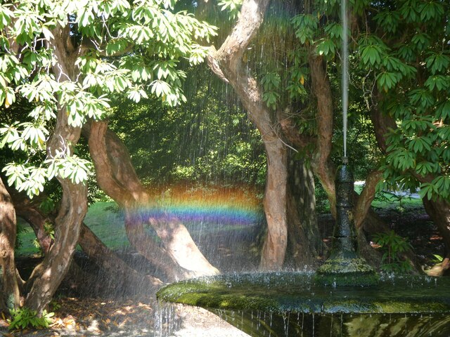
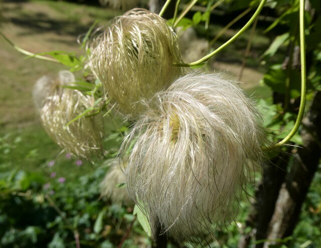
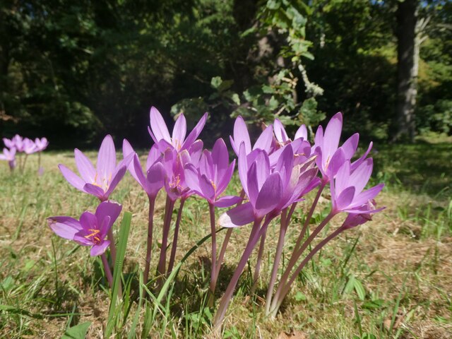
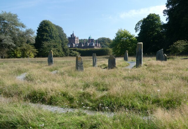
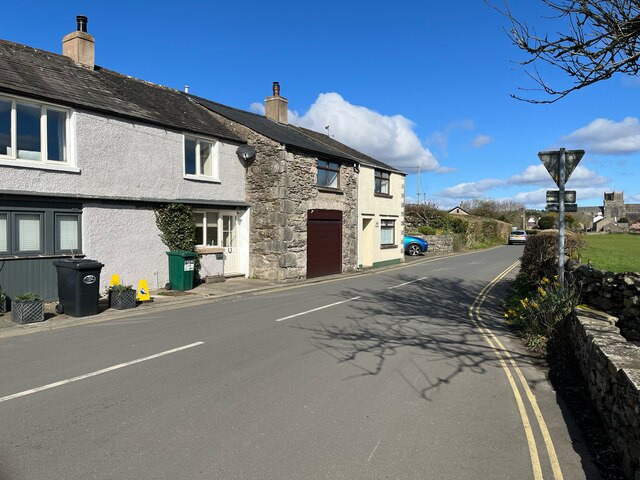
Applebury Hill Images

Images are sourced within 2km of 54.181713/-2.9591358 or Grid Reference SD3776. Thanks to Geograph Open Source API. All images are credited.

Holker Hall Gardens Viewed from an upstairs window of the Hall, which dates back to the early 1600s.
Holker Hall Gardens
Viewed from an upstairs window of the Hall, which dates back to the early 1600s.
Holker Hall Gardens The Summer Garden.
Holker Hall Gardens
The Summer Garden.
Holker Hall Gardens The Summer Garden.
Holker Hall Gardens
The Summer Garden.
Holker Hall and Gardens Viewed from the Summer Garden. The Hall dates back to the early 1600s.
Holker Hall and Gardens
Viewed from the Summer Garden. The Hall dates back to the early 1600s.
Holker Hall Gardens The fountain.
Holker Hall Gardens
The fountain.
Holker Hall Gardens The fountain with rainbow.
Holker Hall Gardens
The fountain with rainbow.
Holker Hall Gardens Seed  heads of a clematis.
Holker Hall Gardens
Seed heads of a clematis.
Holker Hall Gardens Autumn crocus.
Holker Hall Gardens
Autumn crocus.
The Labyrinth and Holker Hall Dating back to the early 1600s, Holker Hall has been home to the Preston, Lowther and Cavendish families. The New Wing was rebuilt after a disastrous fire in March 1871.
The Labyrinth and Holker Hall
Dating back to the early 1600s, Holker Hall has been home to the Preston, Lowther and Cavendish families. The New Wing was rebuilt after a disastrous fire in March 1871.
Ordnance Survey Cut Mark This OS cut mark can be found on the east parapet of the bridge on Moor Lane. It marks a point 5.766m above mean sea level.
Ordnance Survey Cut Mark
This OS cut mark can be found on the east parapet of the bridge on Moor Lane. It marks a point 5.766m above mean sea level.
Ordnance Survey Cut Mark This OS cut mark can be found on the garage north side of Main Street. It marks a point 10.978m above mean sea level.
Ordnance Survey Cut Mark
This OS cut mark can be found on the garage north side of Main Street. It marks a point 10.978m above mean sea level.
Ordnance Survey Cut Mark This OS cut mark can be found on the SE parapet of the railway bridge. It marks a point 15.664m above mean sea level.
Ordnance Survey Cut Mark
This OS cut mark can be found on the SE parapet of the railway bridge. It marks a point 15.664m above mean sea level.
Ordnance Survey Cut Mark This OS cut mark can be found on Barn Holes Farm. It marks a point 12.188m above mean sea level.
Ordnance Survey Cut Mark
This OS cut mark can be found on Barn Holes Farm. It marks a point 12.188m above mean sea level.
Ordnance Survey Cut Mark This OS cut mark can be found on No57 Main Street. It marks a point 12.137m above mean sea level.
Ordnance Survey Cut Mark
This OS cut mark can be found on No57 Main Street. It marks a point 12.137m above mean sea level.
Ordnance Survey Cut Mark This OS cut mark can be found on the south angle of St John's Church. It marks a point 15.241m above mean sea level.
Ordnance Survey Cut Mark
This OS cut mark can be found on the south angle of St John's Church. It marks a point 15.241m above mean sea level.
Ordnance Survey Cut Mark This OS cut mark can be found on the Old School House. It marks a point 17.661m above mean sea level.
Ordnance Survey Cut Mark
This OS cut mark can be found on the Old School House. It marks a point 17.661m above mean sea level.
Benchmark, Headless Cross, Cartmel Detail of the Ordnance Survey cut benchmark on the limestone quoin on the corner of Headless Cross Cottage. The benchmark marks a height of 31.7065m above mean sea level (Ordnance Datum Newlyn) last verified in 1971 (location photographs <a href="https://www.geograph.org.uk/photo/7137467">SD3778 : Cottage Corner, Headless Cross</a> and <a href="https://www.geograph.org.uk/photo/7137397">SD3778 : Cottages at Headless Cross</a>).
Benchmark, Headless Cross, Cartmel
Detail of the Ordnance Survey cut benchmark on the limestone quoin on the corner of Headless Cross Cottage. The benchmark marks a height of 31.7065m above mean sea level (Ordnance Datum Newlyn) last verified in 1971 (location photographs SD3778 : Cottage Corner, Headless Cross and SD3778 : Cottages at Headless Cross).
Cottages at Headless Cross There is an Ordnance Survey cut benchmark on the bottom limestone quoin at the corner of Headless Cross Cottage (location photograph <a href="https://www.geograph.org.uk/photo/7137467">SD3778 : Cottage Corner, Headless Cross</a>, detail photograph <a href="https://www.geograph.org.uk/photo/7137374">SD3778 : Benchmark, Headless Cross, Cartmel</a>).
Cartmel Priory Church is in the background.
Cottages at Headless Cross
There is an Ordnance Survey cut benchmark on the bottom limestone quoin at the corner of Headless Cross Cottage (location photograph SD3778 : Cottage Corner, Headless Cross, detail photograph SD3778 : Benchmark, Headless Cross, Cartmel). Cartmel Priory Church is in the background.
Show me another place!

Applebury Hill is located at Grid Ref: SD3776 (Lat: 54.181713, Lng: -2.9591358)

Administrative County: Cumbria

District: South Lakeland

Police Authority: Cumbria

What 3 Words

///furnish.refusals.charcoal. Near Flookburgh, Cumbria

Nearby Locations

Applebury Hill

Related Wikis

Cark & Cartmel railway station

Cark & Cartmel is a railway station on the Furness line, which runs between Barrow-in-Furness and Lancaster. The station, situated 15+1⁄4 miles (25 km...

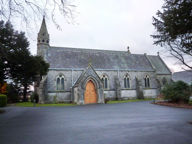
St Mary's Church, Allithwaite

St Mary's Church is in the village of Allithwaite, Cumbria, England. It is an active Anglican parish church in the deanery of Windermere, the archdeacon...

Cark

Cark (sometimes Cark in Cartmel) is a village in Cumbria, England. It lies on the B5278 road to Haverthwaite (and to the A590 road) and is ½ mile north...

Lower Allithwaite

Lower Allithwaite is a civil parish in the South Lakeland district of the English county of Cumbria. It includes the villages of Allithwaite and Cartmel...

Nearby Amenities

Located within 500m of 54.181713,-2.9591358
Barrier: kissing_gate
Lat/Long: 54.1792653/-2.9538095
Barrier: stile
Lat/Long: 54.1786751/-2.9548287
Barrier: kissing_gate
Lat/Long: 54.178898/-2.9617006
Barrier: stile
Bicycle: no
Foot: yes
Horse: no
Material: wood
Motor Vehicle: no
Stile: stepover
Lat/Long: 54.1784302/-2.9634225
Barrier: stile
Lat/Long: 54.1852017/-2.9552391
Barrier: stile
Bicycle: no
Foot: yes
Horse: no
Material: wood
Motor Vehicle: no
Stile: stepover
Lat/Long: 54.1794838/-2.9623209
Barrier: stile
Bicycle: no
Foot: yes
Horse: no
Material: stone
Motor Vehicle: no
Stile: stepover
Lat/Long: 54.1803498/-2.9616208
Power: pole
Lat/Long: 54.1779046/-2.9613627
Power: pole
Lat/Long: 54.1786144/-2.9614278
Power: pole
Lat/Long: 54.1821148/-2.954928
Power: pole
Lat/Long: 54.1821896/-2.9530712
The data included in this document is from www.openstreetmap.org. The data is made available under ODbL.

Have you been to Applebury Hill?

Leave your review of Applebury Hill below (or comments, questions and feedback).