Black Hillock
Hill, Mountain in Banffshire
Scotland
Black Hillock
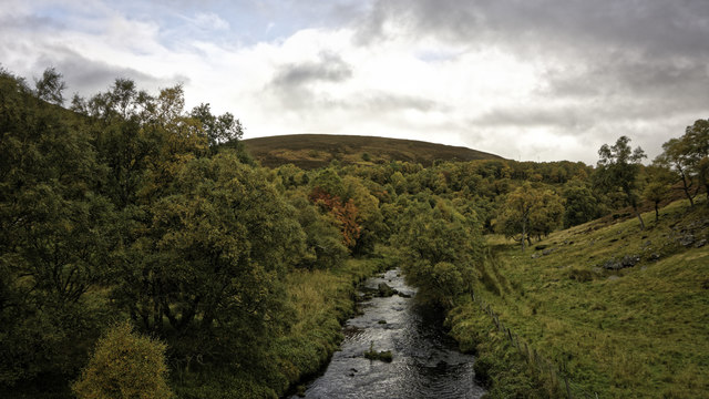
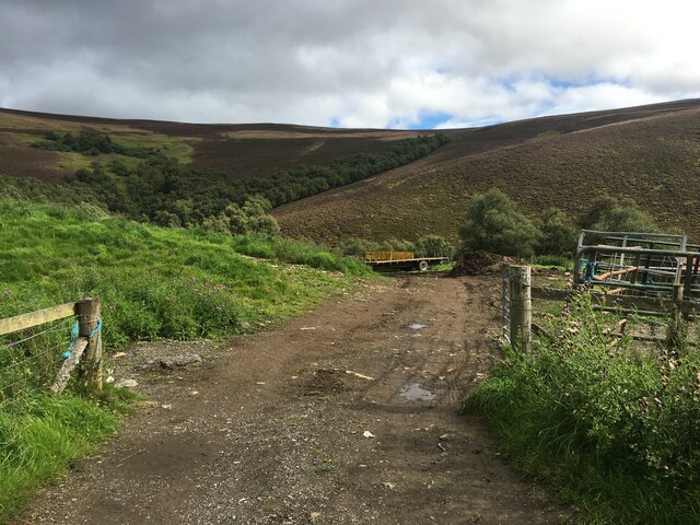
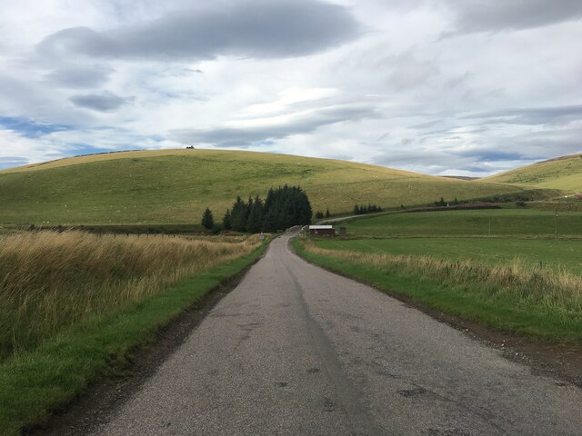
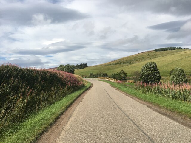
Black Hillock is a prominent hill located in the historic county of Banffshire, Scotland. Standing at an elevation of approximately 1,512 feet (461 meters), it is a notable landmark within the region. The hill is situated in an area largely characterized by rolling countryside, with Black Hillock serving as a prominent feature that can be seen from several surrounding areas.
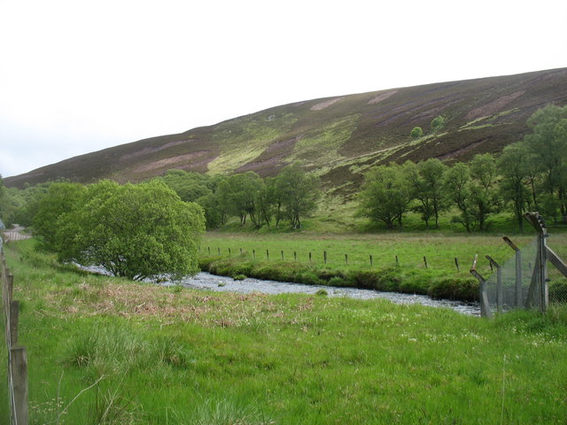
The hill itself is primarily composed of granite and is part of the larger Grampian Mountains range. It offers breathtaking panoramic views of the surrounding landscape, including the nearby coastline and the picturesque River Deveron. The summit of Black Hillock provides an ideal vantage point for nature enthusiasts, hikers, and photographers alike.
The surrounding area is rich in biodiversity, with an array of flora and fauna species that call Black Hillock home. The hillside is covered in heather, moss, and grasses, creating a vibrant and picturesque terrain. Birdwatchers may be delighted to spot various species, such as buzzards, kestrels, and peregrine falcons, soaring above the hill.
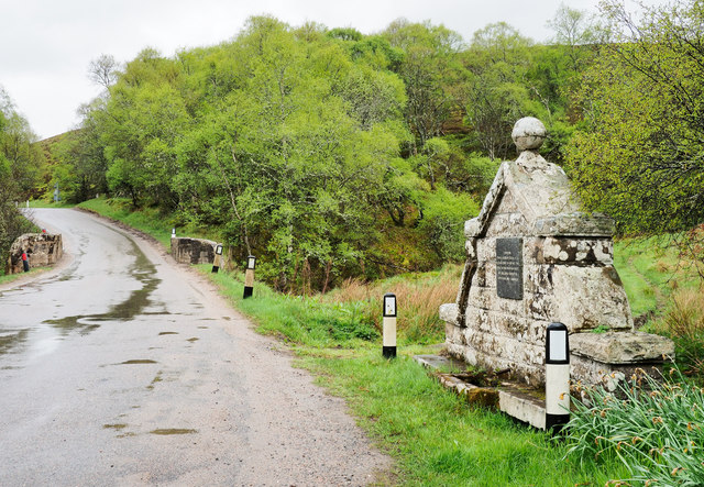
Black Hillock attracts a steady stream of visitors, including locals and tourists seeking outdoor recreational activities. The hill offers a range of hiking trails of varying difficulty, catering to both beginners and experienced adventurers. These trails allow visitors to explore the natural beauty of the Banffshire countryside while enjoying the tranquility and serenity offered by Black Hillock.
Overall, Black Hillock stands as a captivating natural landmark, offering visitors a chance to experience the beauty of the Scottish countryside and providing a welcome escape from the hustle and bustle of everyday life.
If you have any feedback on the listing, please let us know in the comments section below.
Black Hillock Images
Images are sourced within 2km of 57.350726/-3.0403715 or Grid Reference NJ3729. Thanks to Geograph Open Source API. All images are credited.


Black Hillock is located at Grid Ref: NJ3729 (Lat: 57.350726, Lng: -3.0403715)
Unitary Authority: Moray
Police Authority: North East
What 3 Words
///remove.chuck.dented. Near Dufftown, Moray
Nearby Locations
Related Wikis

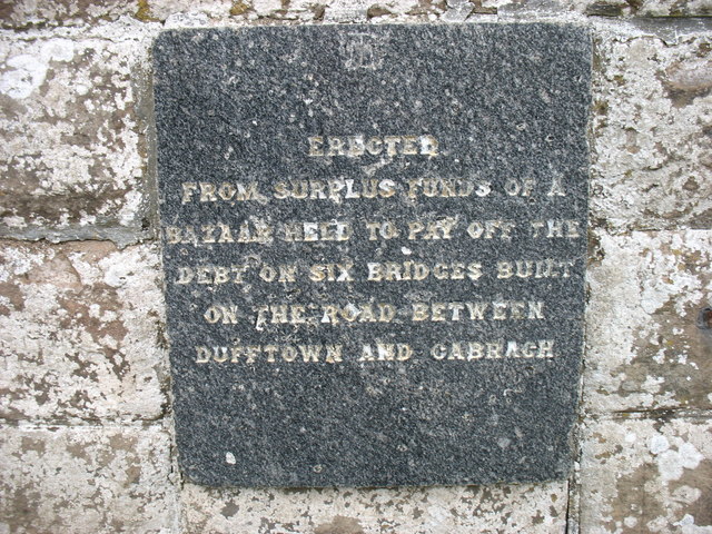
Cabrach
The Cabrach (Scottish Gaelic: A' Chabrach, A' Chabraich) is an estate and largely depopulated rural community in Moray, Scotland. The meaning of the name...

Clashindarroch Forest
Clashindarroch Forest is possibly the largest forest in Aberdeenshire, situated to the south-west of the market town of Huntly. Managed by Forest Enterprise...

Wormy Hillock Henge
Wormy Hillock Henge, also known as The Dragon's Grave, is a small henge in Aberdeenshire, Scotland. It is a Scheduled Ancient Monument located in the Clashindarroch...
Auchindoun Castle
Auchindoun Castle is a 15th-century L-Plan tower castle located in Auchindoun near Dufftown in Moray, Scotland. == History == While there is evidence of...

Beldorney Castle
Beldorney Castle is a Z-plan castle dating from the mid-16th century, about two miles south of Glass, in hilly country in the valley of the Deveron, in...

Lesmoir Castle
Lesmoir Castle was a 16th-century castle, about 2.0 miles (3.2 km) west of Rhynie, Aberdeenshire, Scotland, south-west of Tap o' Noth, at Mains of Lesmoir...
Nearby Amenities
Located within 500m of 57.350726,-3.0403715Have you been to Black Hillock?
Leave your review of Black Hillock below (or comments, questions and feedback).