Birch Stile Wood
Wood, Forest in Lancashire South Lakeland
England
Birch Stile Wood

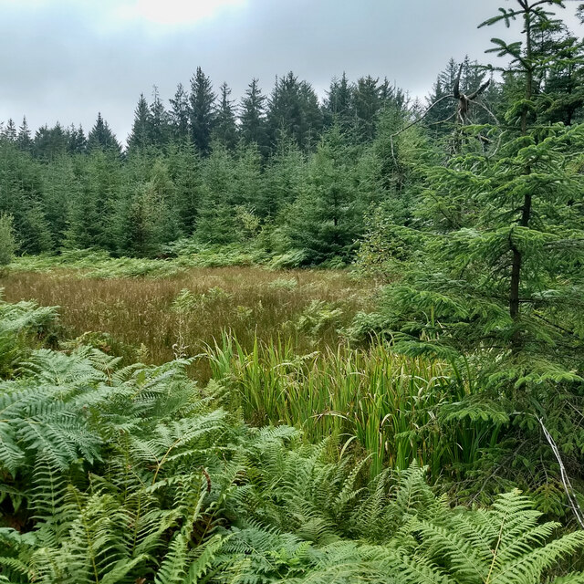
Birch Stile Wood is a picturesque forest located in Lancashire, England. Covering an area of approximately 100 acres, this woodland is known for its stunning natural beauty and diverse range of flora and fauna.
The wood is dominated by birch trees, which give it its name, but it also features a mix of other tree species including oak, beech, and ash. The dense canopy created by these trees provides a cool and shaded environment, making it an ideal spot for nature lovers and hikers to explore and escape the hustle and bustle of everyday life.
The forest floor is covered in a thick layer of leaf litter, providing a habitat for a variety of woodland creatures such as deer, squirrels, and badgers. Bird enthusiasts will be delighted to spot a wide range of bird species, including woodpeckers, thrushes, and owls, making it a popular destination for birdwatching.
The wood is crisscrossed with a network of well-maintained footpaths, allowing visitors to navigate through the forest easily. These paths lead to various points of interest, including a small pond and a clearing with picnic benches, providing visitors with the opportunity to enjoy a peaceful lunch surrounded by nature.
Birch Stile Wood is managed by the local council and is open to the public year-round. It offers a tranquil and serene setting for individuals and families to immerse themselves in the beauty of nature and enjoy the tranquility of the Lancashire countryside.
If you have any feedback on the listing, please let us know in the comments section below.
Birch Stile Wood Images
Images are sourced within 2km of 54.258732/-2.9586817 or Grid Reference SD3785. Thanks to Geograph Open Source API. All images are credited.

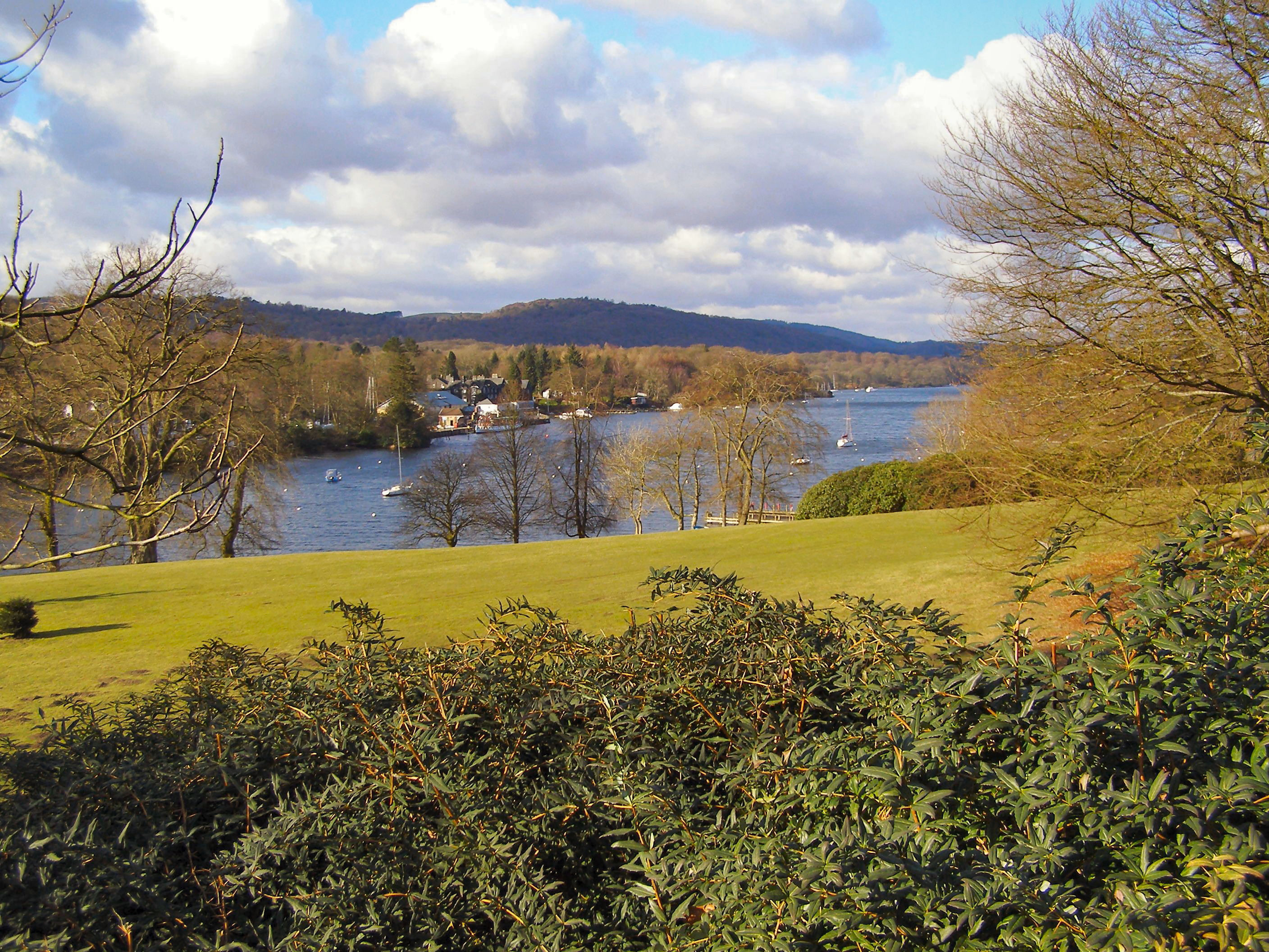
![Boat on the River Leven Heading upstream [locally north] towards Fell Foot and Lakeside.](https://s2.geograph.org.uk/geophotos/06/91/69/6916926_036d6930.jpg)


Birch Stile Wood is located at Grid Ref: SD3785 (Lat: 54.258732, Lng: -2.9586817)
Administrative County: Cumbria
District: South Lakeland
Police Authority: Cumbria
What 3 Words
///common.festivity.fulfilled. Near Grange-over-Sands, Cumbria
Nearby Locations
Related Wikis
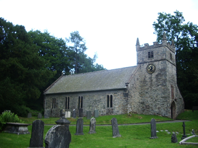
St Mary's Church, Staveley
St Mary's Church is in the village of Staveley-in-Cartmel, Cumbria, England. It is an active Anglican parish church in the deanery of Windermere, the archdeaconry...

Staveley-in-Cartmel
Staveley-in-Cartmel is a small village and civil parish in South Lakeland district, Cumbria, England. It lies east of Newby Bridge, near the south end...
Newby Bridge
Newby Bridge is a small hamlet in the Lake District, Cumbria, England. Historically in Lancashire, it is located several miles west of Grange-over-Sands...

Newby Bridge Halt railway station
Newby Bridge Halt (also known, historically, as Newby Bridge Platform) is a railway station on the Lakeside and Haverthwaite heritage railway. It serves...
Bigland Barrow
Bigland Barrow is a hill in the English Lake District, near Backbarrow, Cumbria. It is the subject of a chapter of Wainwright's book The Outlying Fells...
Fell Foot Park
Fell Foot Park is a country park situated at the southern end of Windermere in Cumbria, the largest lake in England. It is north of Newby Bridge in the...
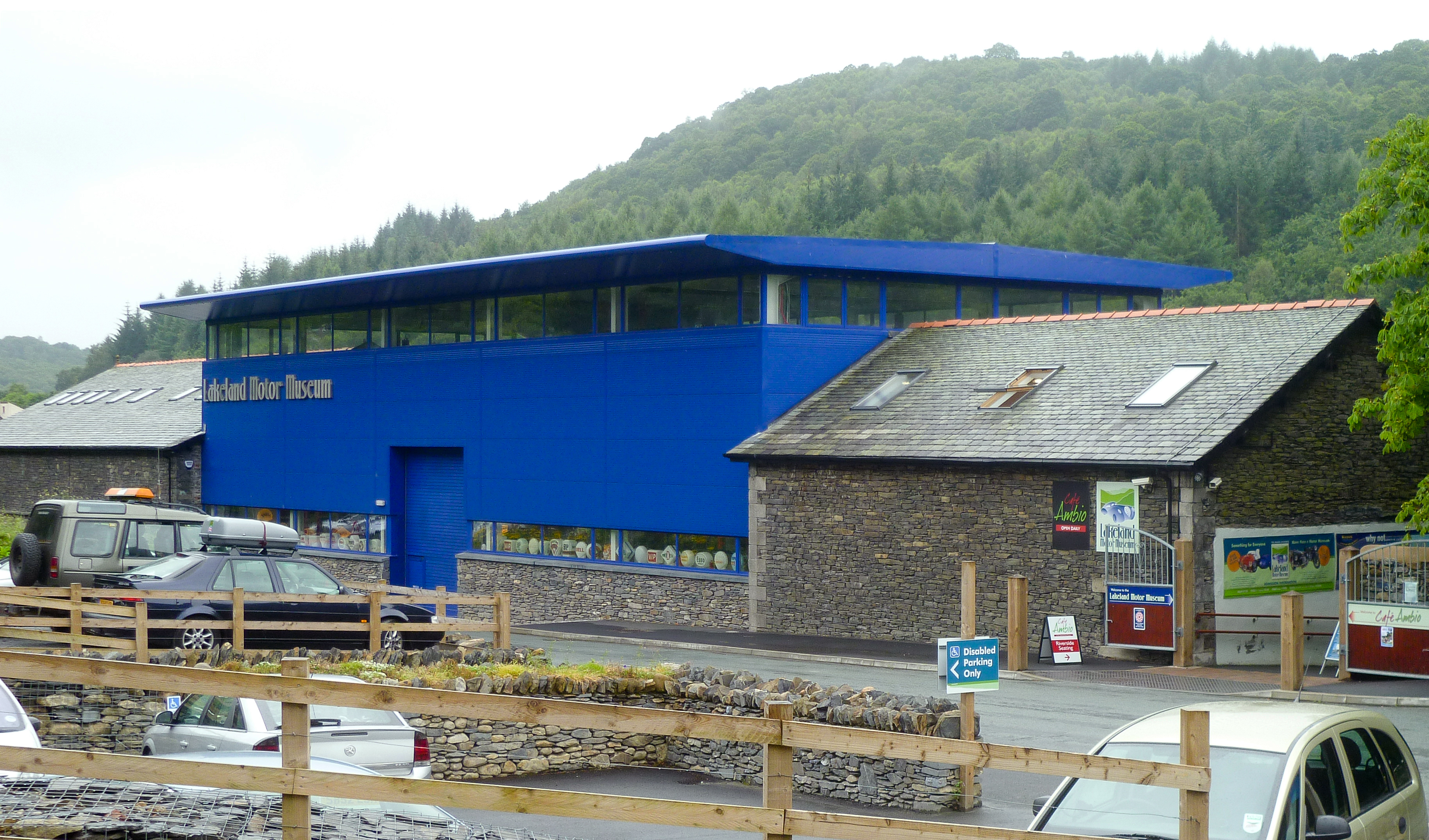
Lakeland Motor Museum
The Lakeland Motor Museum is a museum now located at Backbarrow, Cumbria, England which houses a collection of classic cars, motorcycles, bicycles, pedal...
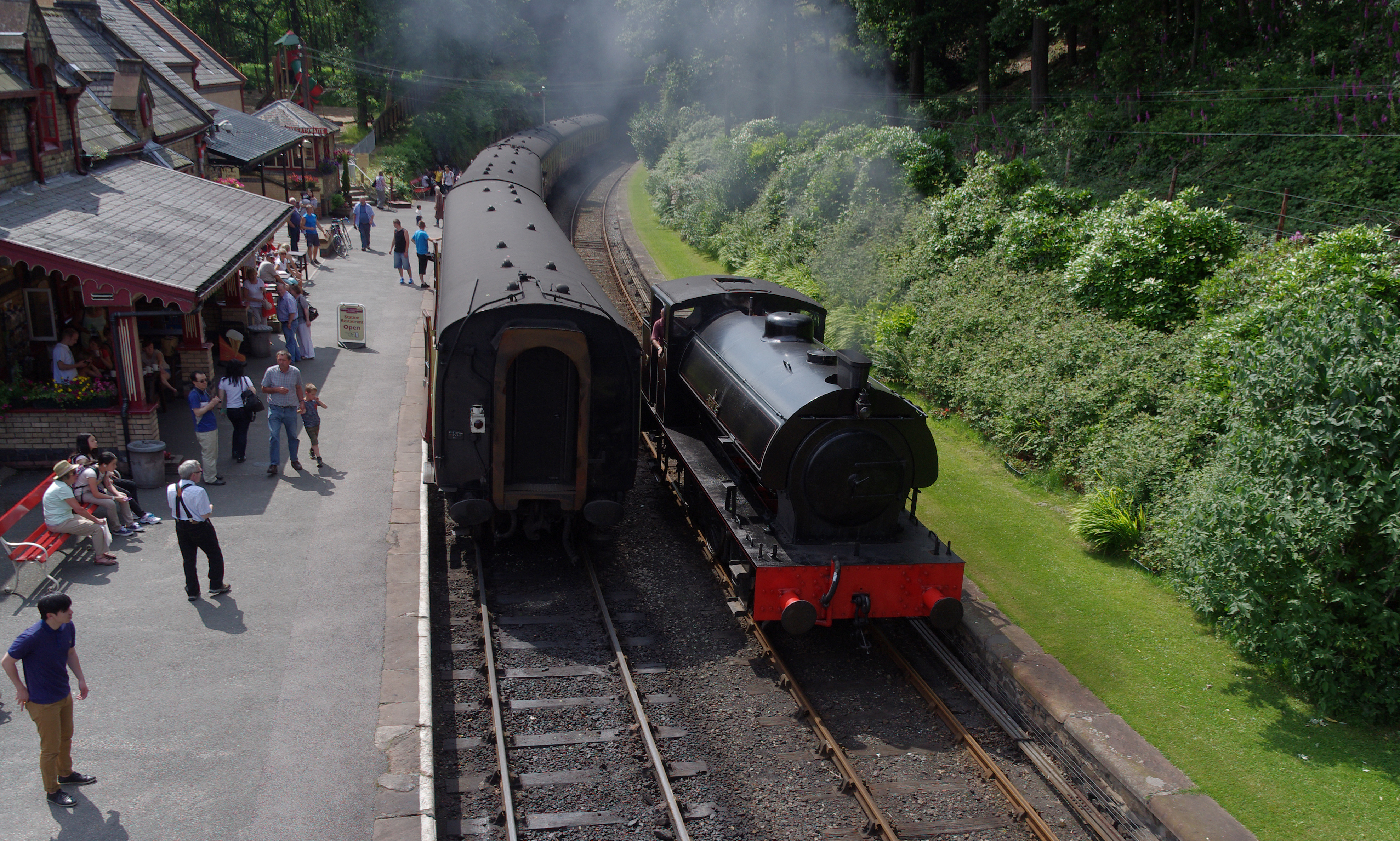
Lakeside and Haverthwaite Railway
The Lakeside and Haverthwaite Railway (L&HR) is a 3.2-mile-long (5.1 km) heritage railway in Cumbria, England. == Location == The L&HR runs from Haverthwaite...
Nearby Amenities
Located within 500m of 54.258732,-2.9586817Have you been to Birch Stile Wood?
Leave your review of Birch Stile Wood below (or comments, questions and feedback).