High Crag
Hill, Mountain in Lancashire South Lakeland
England
High Crag
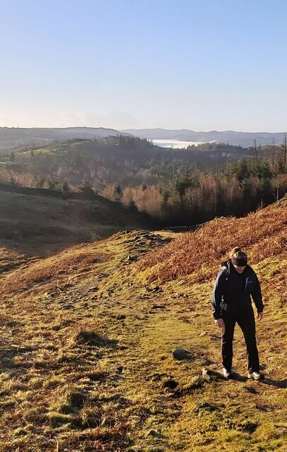
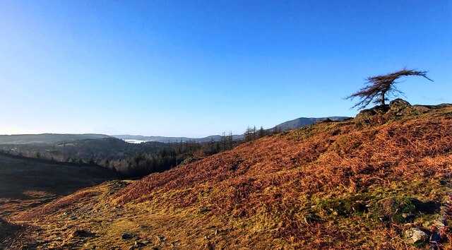
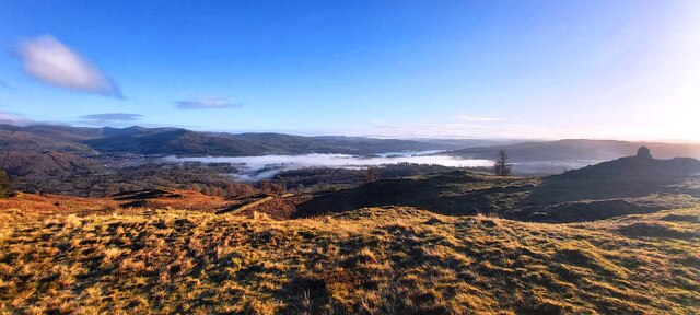
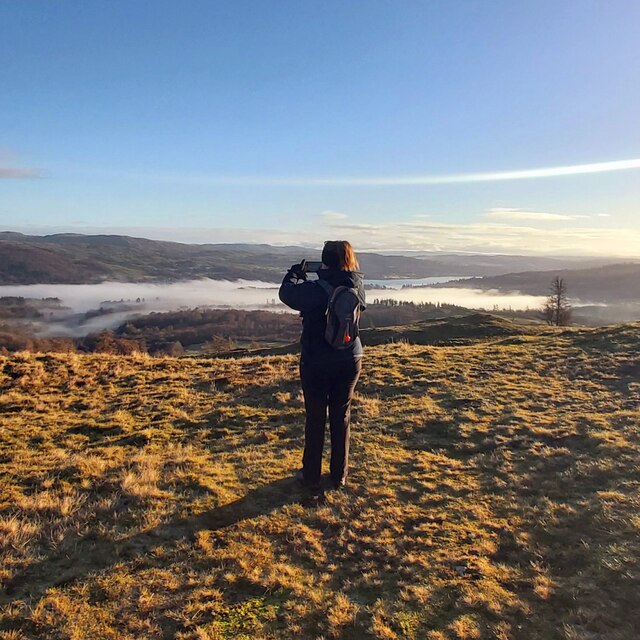
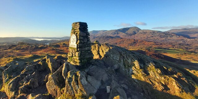
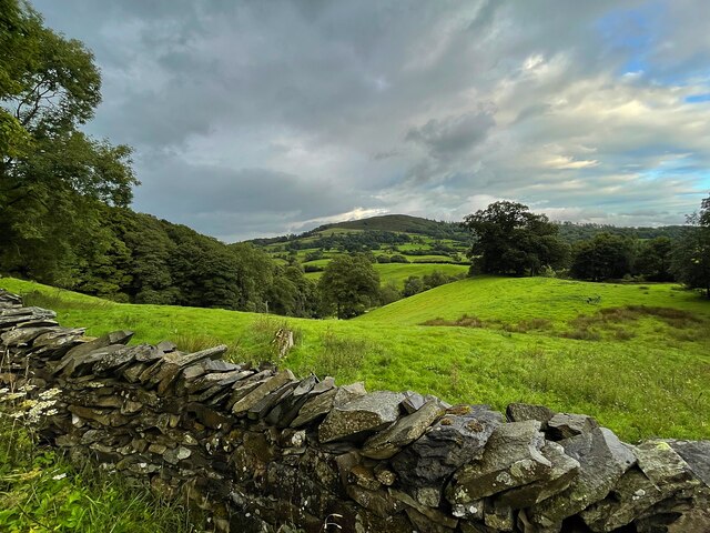
High Crag is a prominent hill located in the county of Lancashire, in the northwest region of England. It forms part of the Pennine Range and stands at an elevation of approximately 432 meters (1,417 feet) above sea level. Situated within the Forest of Bowland Area of Outstanding Natural Beauty, High Crag offers breathtaking panoramic views of the surrounding countryside.
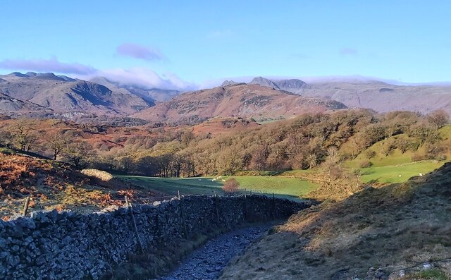
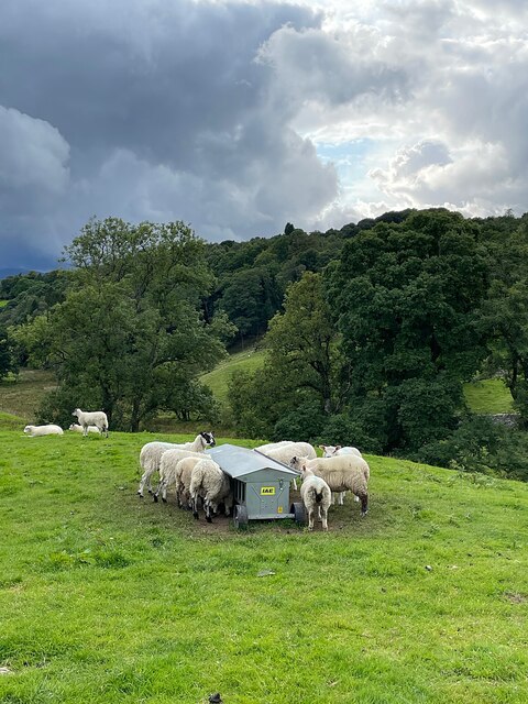
The hill is characterized by its rugged and rocky terrain, with steep slopes and craggy outcrops that attract avid rock climbers and hikers alike. The diverse flora and fauna found on High Crag add to its natural beauty, with heather-covered moorlands, scattered woodland areas, and meandering streams.
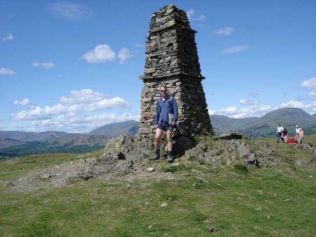
High Crag is a popular destination for outdoor enthusiasts, offering various recreational activities. Hiking trails crisscross the hill, providing opportunities for visitors to explore its enchanting landscapes. The ascent to the summit can be challenging but rewarding, offering stunning vistas of rolling hills, valleys, and picturesque villages.
The hill is also a haven for wildlife, providing habitat for a variety of species. Birdwatchers flock to High Crag to catch a glimpse of the peregrine falcons, buzzards, and red grouse that soar through the skies. Additionally, the hill is home to an array of smaller mammals, including hares, rabbits, and foxes.
High Crag's natural beauty, combined with its accessibility and recreational offerings, make it a popular destination for both locals and tourists seeking an escape into nature. Whether it be for a leisurely walk or a challenging hike, High Crag offers an unforgettable experience in the heart of Lancashire's stunning countryside.
If you have any feedback on the listing, please let us know in the comments section below.
High Crag Images
Images are sourced within 2km of 54.399633/-2.9950682 or Grid Reference NY3500. Thanks to Geograph Open Source API. All images are credited.

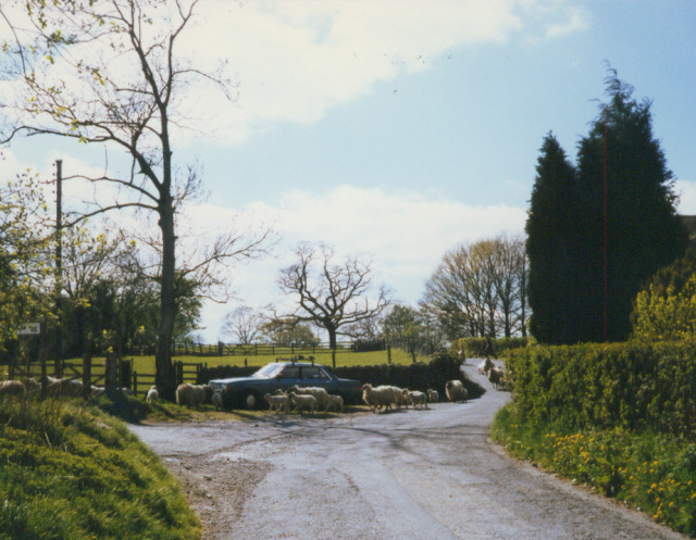
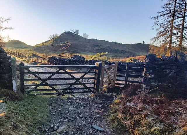
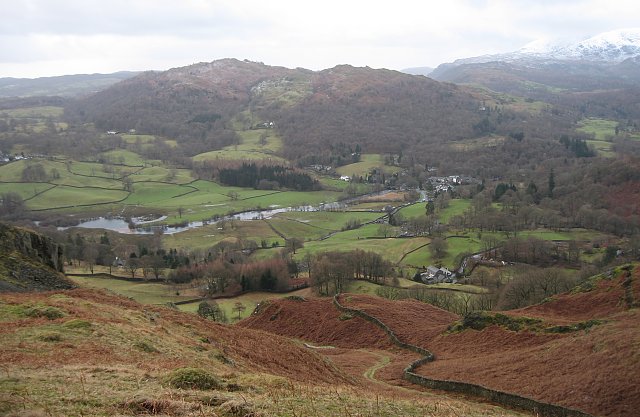
![Borwick Ground, South end of the Roman Road January 2007. Taken at the junction of Barngate to Tarn Hows Road at Borwick Ground. Borwick Fold Guest House is on the right of the picture. The Coach House fronts the main road and backs onto the Old Roman Road which leads north, north west behind Tarn Hows. The track is well used by walkers, horses, mountain bikes, motor-cross riders and 4x4's.
Iron Keld and Black Fell (Crag) are accessible from this track. The mixed use certainly annoys most people who use it. However Barn Owls hunt in the meadows along the route, and as I usually use the lane off peak, I get to see them often [smug grin].
Enjoy the track and Please take your litter home.](https://s2.geograph.org.uk/photos/35/59/355962_a2759ed1.jpg)
High Crag is located at Grid Ref: NY3500 (Lat: 54.399633, Lng: -2.9950682)
Administrative County: Cumbria
District: South Lakeland
Police Authority: Cumbria
What 3 Words
///state.cave.rural. Near Ambleside, Cumbria
Related Wikis

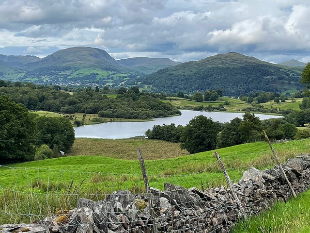
Blelham Tarn
Blelham Tarn is a large valley tarn in the Lake District of England, to the north of the hill Latterbarrow. The settlements of Outgate, Low Wray and High...

Brathay
Brathay is a parish in Cumbria, England. Brathay Hall and the surrounding estate belong to a charity, Brathay Trust. == See also == Listed buildings in...
Black Fell (Lake District)
Black Fell is a fell in the English Lake District. It rises to the north of Tarn Hows, between Coniston and Hawkshead. == Topography == Black Fell is the...

RMS Wray Castle
RMS Wray Castle was a training college for Merchant Navy radio officers based at Wray Castle in the Lake District, from 1958 to 1998.At 11:40 p.m., on...
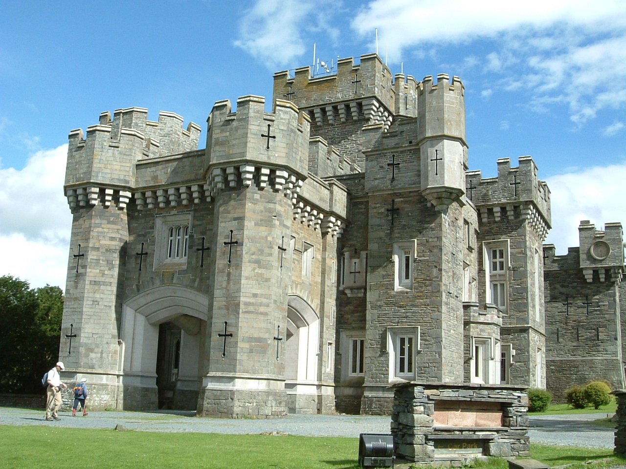
Wray Castle
Wray Castle is a Victorian neo-gothic building at Claife in Cumbria within the boundaries of the historic county of Lancashire. The house and grounds have...

Latterbarrow
Latterbarrow is a hill in the English Lake District, east of Hawkshead, Cumbria. It is the subject of a chapter of Wainwright's book The Outlying Fells...
Skelwith
Skelwith is a civil parish in South Lakeland, Cumbria, England, which includes the village of Skelwith Bridge. In the 2001 census the parish had a population...

Holy Trinity Church, Brathay
Holy Trinity Church is in Bog Lane in the village of Brathay, Cumbria, England. It is an active Anglican parish church in the deanery of Windermere, the...
Related Videos

Walking around Hawkshead and the surrounding countryside. The Lake District, Cumbria, England.
We spent two days walking around the Village of Hawkshead and the surrounding countryside. Hawkshead is a beautiful village ...
![Wray Castle - Lake District, England historic building tour with walk in Windermere [4K UHD]](https://i.ytimg.com/vi/DpwONNxvjN8/hqdefault.jpg)
Wray Castle - Lake District, England historic building tour with walk in Windermere [4K UHD]
Exploring the enourmous Wray Castle, Lake District, England which was a Victorian neo-gothic building at Claife in the English ...

Hiking in Lake District | Long Scenic Drive | Wray Castle Visit | Places to visit in UK
Hiking in Lake District Long Scenic Drive Wray Castle Visit Ambleside Lake District UK Visit to Wray Castle Ambleside | Hiking in ...

English Tourism Week 2021 at Skelwith Fold
As we celebrate the 2021 English Tourism Week, park owner Henry Wild gives us a quick tour around Skelwith Fold. Among the ...
Nearby Amenities
Located within 500m of 54.399633,-2.9950682Have you been to High Crag?
Leave your review of High Crag below (or comments, questions and feedback).