Black Beck Coppice
Wood, Forest in Lancashire South Lakeland
England
Black Beck Coppice
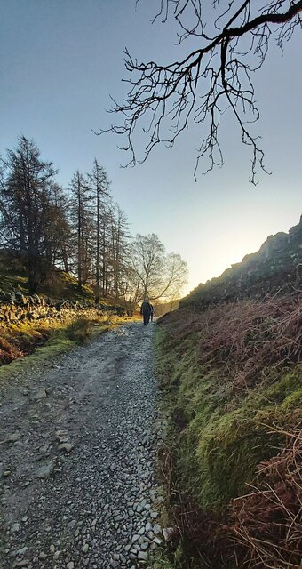
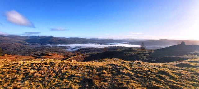
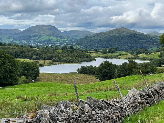
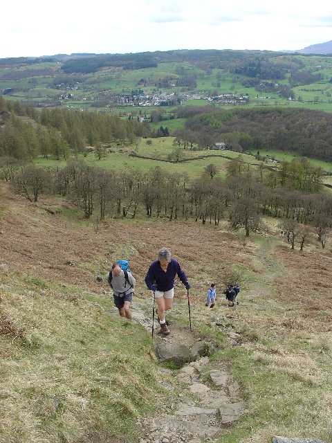
Black Beck Coppice is a picturesque woodland located in the county of Lancashire, England. Spread across an area of approximately 50 acres, this verdant forest is a haven for nature enthusiasts and offers a tranquil escape from the hustle and bustle of urban life.
The coppice, which refers to a woodland that is regularly harvested for timber, derives its name from the presence of Black Beck, a small stream that meanders through the forest. The sound of flowing water adds to the serenity of the surroundings, creating a soothing atmosphere for visitors.
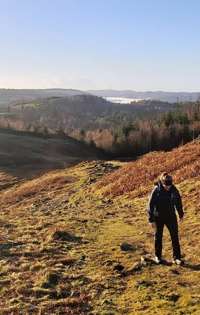
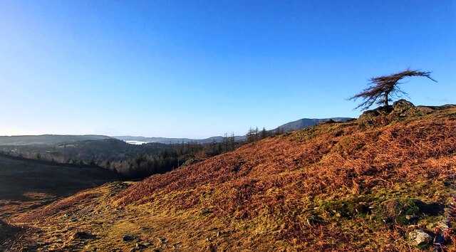
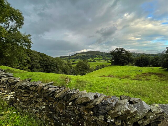
The woodland is predominantly composed of deciduous trees, including oak, beech, and birch, which form a dense canopy overhead. This provides a cool and shaded environment, perfect for leisurely walks or picnics on hot summer days. The forest floor is covered with a carpet of ferns, mosses, and wildflowers, offering a vibrant burst of colors throughout the year.
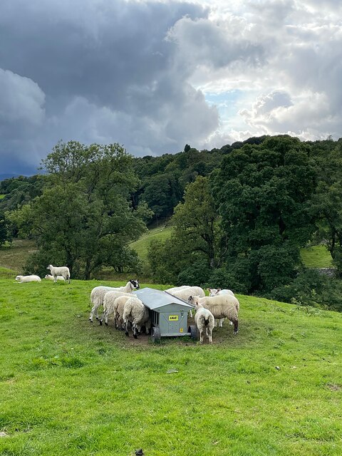
Black Beck Coppice is also home to a diverse range of wildlife. Various species of birds, including woodpeckers, owls, and thrushes, can be spotted flitting among the trees. Squirrels scamper along the branches, while rabbits and deer occasionally make appearances, adding to the enchanting atmosphere of the woodland.
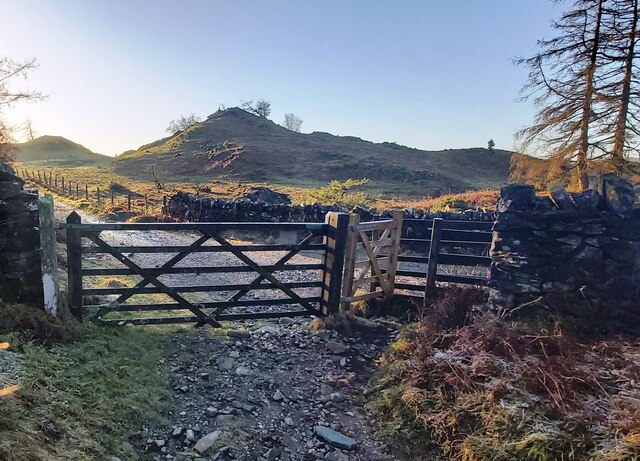
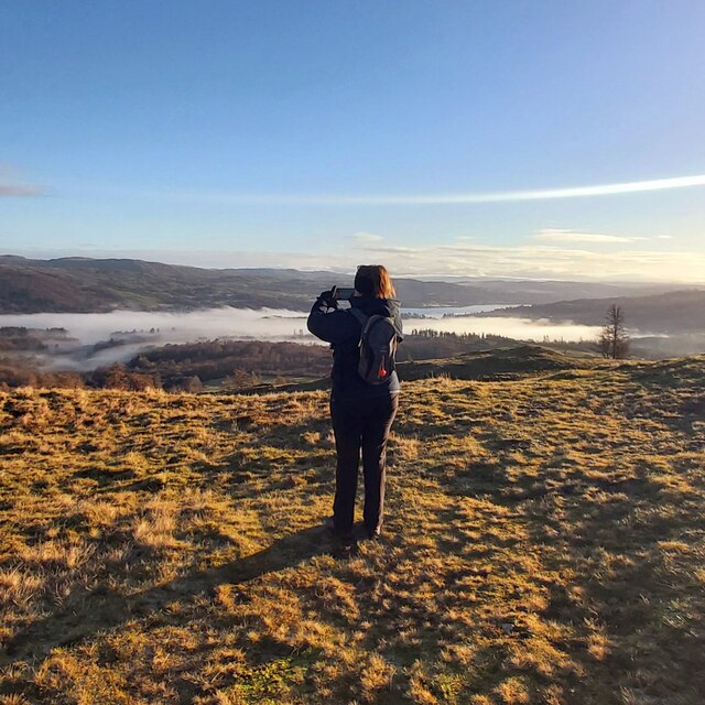
The forest is well-maintained, with clear pathways winding through the trees, allowing visitors to explore its beauty at their own pace. Interpretive signage provides information about the flora and fauna, enhancing the educational value of the site.
Overall, Black Beck Coppice is a natural gem in Lancashire, offering a serene and idyllic retreat for nature lovers and providing an opportunity to connect with the beauty of the countryside.
If you have any feedback on the listing, please let us know in the comments section below.
Black Beck Coppice Images
Images are sourced within 2km of 54.396272/-2.998206 or Grid Reference NY3500. Thanks to Geograph Open Source API. All images are credited.


Black Beck Coppice is located at Grid Ref: NY3500 (Lat: 54.396272, Lng: -2.998206)
Administrative County: Cumbria
District: South Lakeland
Police Authority: Cumbria
What 3 Words
///rungs.pollution.kicked. Near Ambleside, Cumbria
Related Wikis

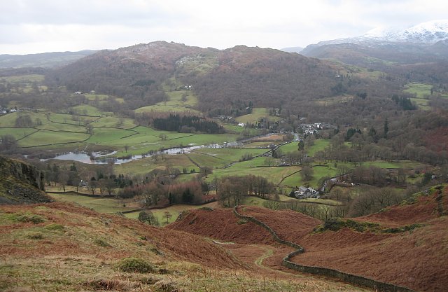
Blelham Tarn
Blelham Tarn is a large valley tarn in the Lake District of England, to the north of the hill Latterbarrow. The settlements of Outgate, Low Wray and High...

Brathay
Brathay is a parish in Cumbria, England. Brathay Hall and the surrounding estate belong to a charity, Brathay Trust. == See also == Listed buildings in...
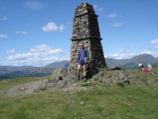
Black Fell (Lake District)
Black Fell is a fell in the English Lake District. It rises to the north of Tarn Hows, between Coniston and Hawkshead. == Topography == Black Fell is the...

Latterbarrow
Latterbarrow is a hill in the English Lake District, east of Hawkshead, Cumbria. It is the subject of a chapter of Wainwright's book The Outlying Fells...

RMS Wray Castle
RMS Wray Castle was a training college for Merchant Navy radio officers based at Wray Castle in the Lake District, from 1958 to 1998.At 11:40 p.m., on...
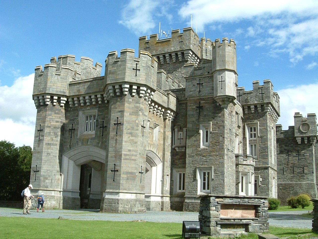
Wray Castle
Wray Castle is a Victorian neo-gothic building at Claife in Cumbria within the boundaries of the historic county of Lancashire. The house and grounds have...

Beatrix Potter Gallery
The Beatrix Potter Gallery is a gallery run by the National Trust in a 17th-century stone-built house in Hawkshead, Cumbria, England. It is dedicated to...

Hawkshead
Hawkshead is a village and civil parish in Westmorland and Furness, Cumbria, England. Within the boundaries of the historic county of Lancashire, the parish...
Related Videos

Lake District Walks - Hiking to Beautiful TARN HOWS - Amazing Views!!!
It's a bright and sunny day and there are plenty of sheep and cows in the fields as we head off from the Coniston Park Coppice ...
Tarn Hows | Lake District Family Walk Near Ambleside | PRAM FRIENDLY | Feat. Drone Footage
Tarn Hows is an easy Lake District walk, located between Coniston and Ambleside. It's majestic views can be enjoyed by all ...

Walking around Hawkshead and the surrounding countryside. The Lake District, Cumbria, England.
We spent two days walking around the Village of Hawkshead and the surrounding countryside. Hawkshead is a beautiful village ...
![Wray Castle - Lake District, England historic building tour with walk in Windermere [4K UHD]](https://i.ytimg.com/vi/DpwONNxvjN8/hqdefault.jpg)
Wray Castle - Lake District, England historic building tour with walk in Windermere [4K UHD]
Exploring the enourmous Wray Castle, Lake District, England which was a Victorian neo-gothic building at Claife in the English ...
Nearby Amenities
Located within 500m of 54.396272,-2.998206Have you been to Black Beck Coppice?
Leave your review of Black Beck Coppice below (or comments, questions and feedback).