Ardie Hill

Hill, Mountain in Fife

Scotland

Ardie Hill

Forester's Cottage sign There is an Ordnance Survey benchmark just visible on photo on large stone between house sign and plant pot.
Forester's Cottage sign Credit: Becky Williamson

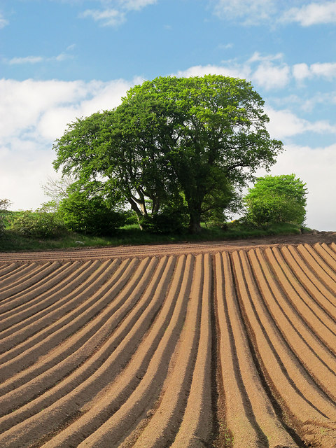
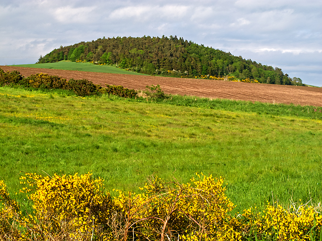
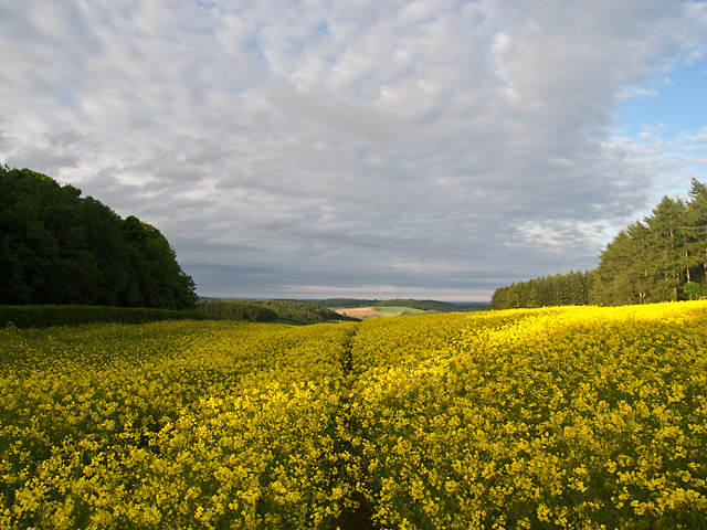
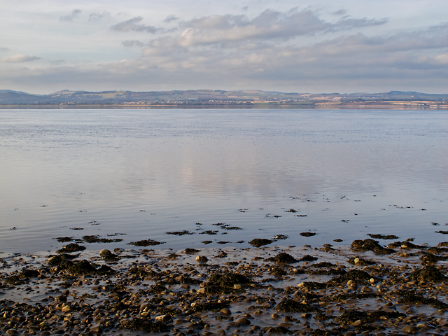
Ardie Hill is a prominent geographic feature located in Fife, Scotland. Rising to an elevation of approximately 215 meters (705 feet), it is considered a hill rather than a mountain due to its modest height. Ardie Hill is situated about 3 kilometers (1.9 miles) northwest of the village of Letham and lies within the Lomond Hills Regional Park, a protected area known for its scenic beauty and diverse wildlife.

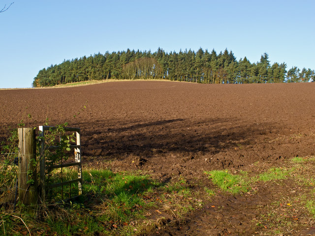
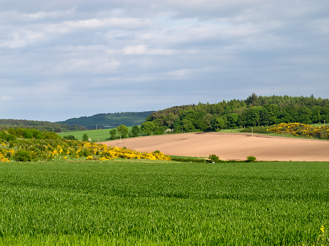
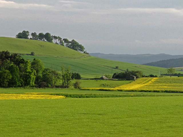
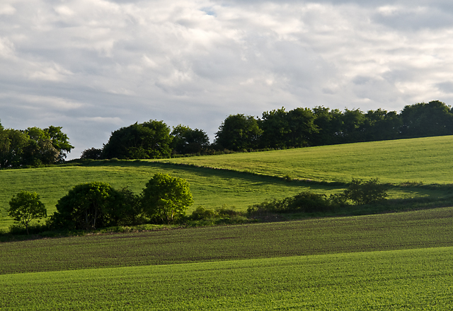
The hill is characterized by its gently sloping sides, covered in a patchwork of green fields and agricultural land. The summit offers breathtaking panoramic views of the surrounding countryside, with the rolling hills of Fife stretching out in all directions. On clear days, the distant peaks of the Ochil Hills and even the majestic Ben Lomond can be seen.

Ardie Hill is a popular destination for outdoor enthusiasts, offering a range of recreational activities. Hikers and walkers can enjoy a variety of trails that crisscross the area, catering to different fitness levels. The hill's well-maintained paths provide easy access to the summit, making it an ideal location for family outings or leisurely strolls.

Aside from its natural beauty, Ardie Hill is also rich in historical and cultural significance. Traces of ancient settlements, such as Iron Age hillforts, have been discovered in the vicinity, giving insight into the area's past inhabitants. These archaeological remains contribute to the overall allure of Ardie Hill, attracting both nature lovers and history enthusiasts alike.

Overall, Ardie Hill in Fife offers a picturesque and accessible outdoor experience, combining breathtaking views, a tranquil atmosphere, and glimpses into the region's storied past.

If you have any feedback on the listing, please let us know in the comments section below.
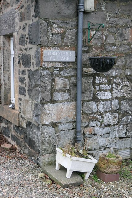
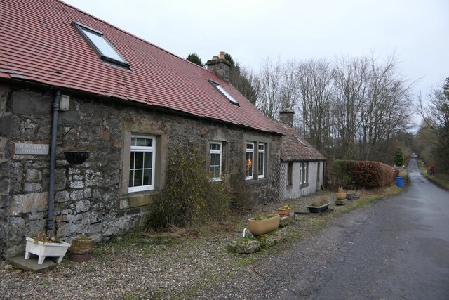
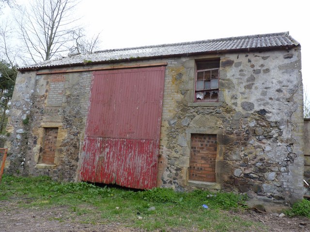
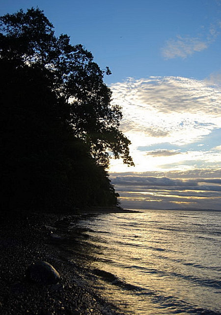
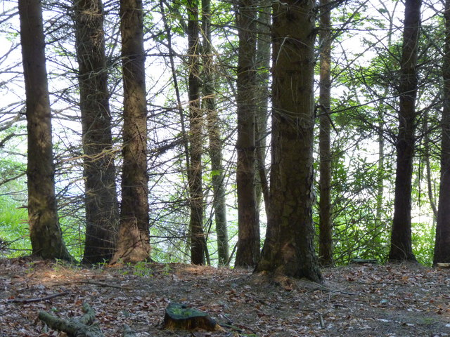
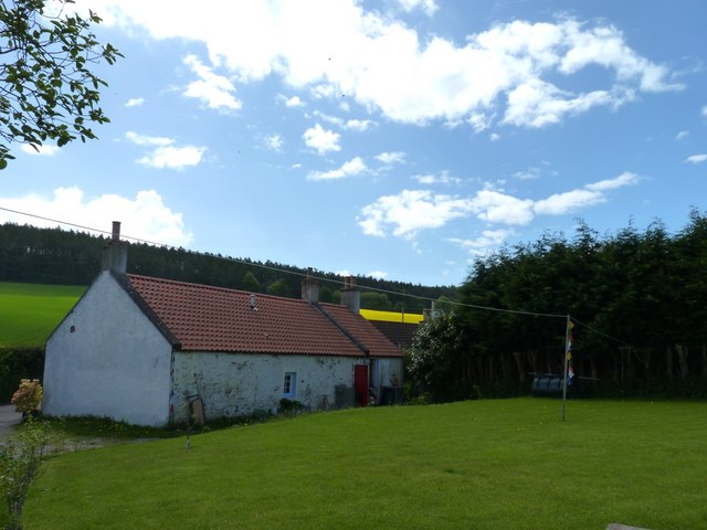
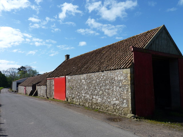
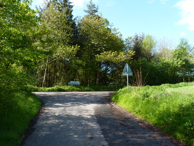
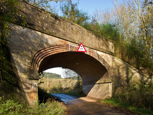
Ardie Hill Images

Images are sourced within 2km of 56.390617/-3.0465005 or Grid Reference NO3522. Thanks to Geograph Open Source API. All images are credited.

Forester's Cottage sign There is an Ordnance Survey benchmark just visible on photo on large stone between house sign and plant pot.
Forester's Cottage sign
There is an Ordnance Survey benchmark just visible on photo on large stone between house sign and plant pot.
Benchmark on Forester's Cottage, Hazelton Walls Ordnance Survey benchmark, described on database at <span class="nowrap"><a title="https://www.bench-marks.org.uk/bm37777" rel="nofollow ugc noopener" href="https://www.bench-marks.org.uk/bm37777">Link</a><img style="margin-left:2px;" alt="External link" title="External link - shift click to open in new window" src="https://s1.geograph.org.uk/img/external.png" width="10" height="10"/></span>.
Benchmark on Forester's Cottage, Hazelton Walls
Ordnance Survey benchmark, described on database at LinkExternal link.
Forester's Cottage, Hazelton Walls There is an Ordnance Survey benchmark on this cottage. See <a href="https://www.geograph.org.uk/photo/7687257">NO3321 : Benchmark on Forester's Cottage, Hazelton Walls</a>.
Forester's Cottage, Hazelton Walls
There is an Ordnance Survey benchmark on this cottage. See NO3321 : Benchmark on Forester's Cottage, Hazelton Walls.
Barn at Rathillet House Now in the grounds of Rathillet house, this ruined barn was apparently the erstwhile home of Covenanter David Hackston, who was present at the murder of Archbishop Sharp at Magus Muir, although he played no part in the crime. He was executed at the Grassmarket in Edinburgh, suffering the most violent of deaths. After being hung and drawn, his body was quartered and parts were sent to various parts of Scotland for burial, including Cupar.
Barn at Rathillet House
Now in the grounds of Rathillet house, this ruined barn was apparently the erstwhile home of Covenanter David Hackston, who was present at the murder of Archbishop Sharp at Magus Muir, although he played no part in the crime. He was executed at the Grassmarket in Edinburgh, suffering the most violent of deaths. After being hung and drawn, his body was quartered and parts were sent to various parts of Scotland for burial, including Cupar.
Evening Foreshore Catching the sunset colours from the narrow, slippy shoreline.
Evening Foreshore
Catching the sunset colours from the narrow, slippy shoreline.
Trees above the Tay A glimpse of the Firth of Tay through the forest that lines the Fife shoreline at this point.
Trees above the Tay
A glimpse of the Firth of Tay through the forest that lines the Fife shoreline at this point.
Cottage at Byres Isolated cottage above Balmerino.
Cottage at Byres
Isolated cottage above Balmerino.
Red barn door At a farm near Rathillet.
Red barn door
At a farm near Rathillet.
Minor road junction Near Rathillet, where the cycle routes seem to be signed head-to-head.
Minor road junction
Near Rathillet, where the cycle routes seem to be signed head-to-head.
Farmland at Mountquhanie Recently ploughed farmland at Mountquhanie.
Farmland at Mountquhanie
Recently ploughed farmland at Mountquhanie.
Bridge on disused Newburgh and North Fife Railway A bridge on a minor road near Rathillet. This carried the Newburgh and North Fife Railway (opened 1909) which ran from Newburgh to St Fort. Passenger services ended in 1959 and freight in 1962. Sections of the route are now a heritage path <span class="nowrap"><a title="http://www.heritagepaths.co.uk/pathdetails.php?path=14" rel="nofollow ugc noopener" href="http://www.heritagepaths.co.uk/pathdetails.php?path=14">Link</a><img style="margin-left:2px;" alt="External link" title="External link - shift click to open in new window" src="https://s1.geograph.org.uk/img/external.png" width="10" height="10"/></span> .
Bridge on disused Newburgh and North Fife Railway
A bridge on a minor road near Rathillet. This carried the Newburgh and North Fife Railway (opened 1909) which ran from Newburgh to St Fort. Passenger services ended in 1959 and freight in 1962. Sections of the route are now a heritage path LinkExternal link .
Farmland near Gauldry Farmland to the west of Gauldry, with warm weather encouraging the growth of crops and trees in the woodland visible in the distance.
Farmland near Gauldry
Farmland to the west of Gauldry, with warm weather encouraging the growth of crops and trees in the woodland visible in the distance.
Farmland west of Ballindean Farmland recently planted with potatoes near Ballindean.
Farmland west of Ballindean
Farmland recently planted with potatoes near Ballindean.
Farmland near Ballindean Farmland to the east of Ballindean, with the wooded summit of Round Hill visible in the distance.
Farmland near Ballindean
Farmland to the east of Ballindean, with the wooded summit of Round Hill visible in the distance.
Farmland west of Rathillet Green and yellow fields to the west of Rathillet, viewed on a June evening.
Farmland west of Rathillet
Green and yellow fields to the west of Rathillet, viewed on a June evening.
Field boundaries on Ardie Hill Trees and hedging marking field boundaries on the lower slopes of Ardie Hill.
Field boundaries on Ardie Hill
Trees and hedging marking field boundaries on the lower slopes of Ardie Hill.
Oil-seed rape field near Coultra An oil-seed rape field at Coultra, with plants nearing the end of flowering. This crop is surprisingly tall - the camera was held above my head to take this image. The hedging (left of image) marks the position of a minor road on cycle route NCN1 - this section running from Newburgh to Newport on Tay offers excellent cycling, with good views over the Tay estuary. See Sustrans for route mapping: <span class="nowrap"><a title="http://www.sustrans.org.uk/" rel="nofollow ugc noopener" href="http://www.sustrans.org.uk/">Link</a><img style="margin-left:2px;" alt="External link" title="External link - shift click to open in new window" src="https://s1.geograph.org.uk/img/external.png" width="10" height="10"/></span>
Oil-seed rape field near Coultra
An oil-seed rape field at Coultra, with plants nearing the end of flowering. This crop is surprisingly tall - the camera was held above my head to take this image. The hedging (left of image) marks the position of a minor road on cycle route NCN1 - this section running from Newburgh to Newport on Tay offers excellent cycling, with good views over the Tay estuary. See Sustrans for route mapping: LinkExternal link
View across the Tay The River Tay, viewed from the Fife shoreline near Thornton. The river is lined by shingle and mud here.
View across the Tay
The River Tay, viewed from the Fife shoreline near Thornton. The river is lined by shingle and mud here.
Show me another place!

Ardie Hill is located at Grid Ref: NO3522 (Lat: 56.390617, Lng: -3.0465005)

Unitary Authority: Fife

Police Authority: Fife

What 3 Words

///ultra.earlobe.crinkled. Near Balmullo, Fife

Nearby Locations

Ardie Hill Stirton Strip

Related Wikis

Bottomcraig

Bottomcraig is a village in Fife, Scotland located near Balmerino and The Gauldry. The village is home to Balmerino Parish Church, built in 1811, and the...

Birkhill Castle

Birkhill Castle is a stately home, the residence of the Earl of Dundee, located on the banks of the River Tay, a short drive from St. Andrews. The castle...

Balmerino Abbey

Balmerino Abbey, or St Edward's Abbey, in Balmerino, Fife, Scotland, was a Cistercian monastic community which has been ruinous since the 16th century...

Balmerino

Balmerino is a small village and former monastic centre in Fife, Scotland. It is the home of Balmerino Abbey and the former abbots of Balmerino who were...

Nearby Amenities

Located within 500m of 56.390617,-3.0465005
Ardie Hill
Ele: 161
Natural: peak
Source: npe
Lat/Long: 56.3906566/-3.0461732
The data included in this document is from www.openstreetmap.org. The data is made available under ODbL.

Have you been to Ardie Hill?

Leave your review of Ardie Hill below (or comments, questions and feedback).