Hagg Hill
Hill, Mountain in Dumfriesshire
Scotland
Hagg Hill
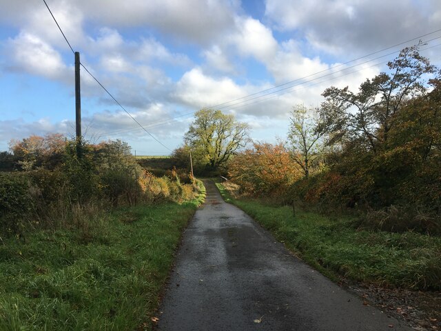
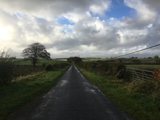
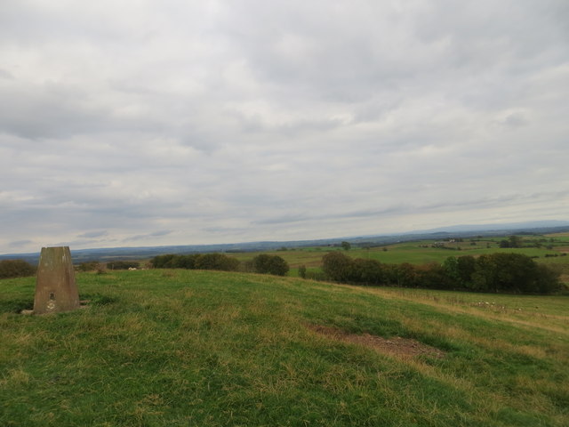
Hagg Hill is a prominent hill located in Dumfriesshire, Scotland. Rising to an elevation of approximately 526 meters (1,726 feet), it stands as a prominent feature within the surrounding landscape. Situated in the southern uplands of Scotland, Hagg Hill offers breathtaking panoramic views of the surrounding countryside, making it a popular destination for nature enthusiasts and hikers.
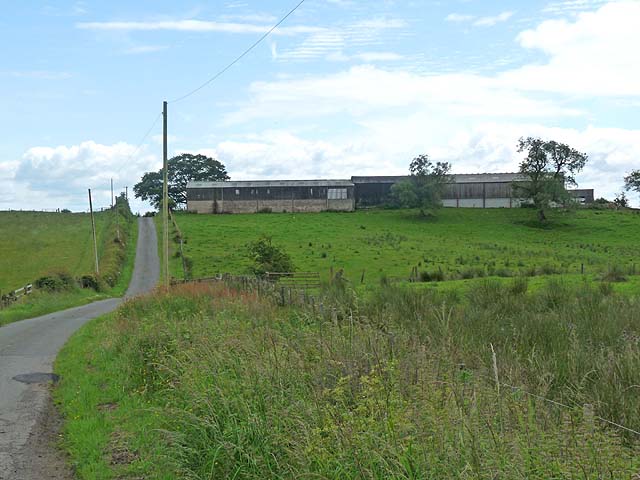
The hill is predominantly covered in grass and heather, with scattered patches of woodland throughout its slopes. Its gentle incline makes it accessible to both amateur and experienced hikers, providing an opportunity for individuals to explore its natural beauty and enjoy the fresh air. Hagg Hill is known for its diverse flora and fauna, with a variety of plant species and wildlife inhabiting its slopes.
At the summit of Hagg Hill, visitors are rewarded with stunning vistas that stretch for miles. On a clear day, one can see the rolling hills and valleys of Dumfriesshire, as well as distant peaks in the neighboring regions. The picturesque landscape offers a serene and tranquil atmosphere, allowing visitors to immerse themselves in the peacefulness of the surroundings.
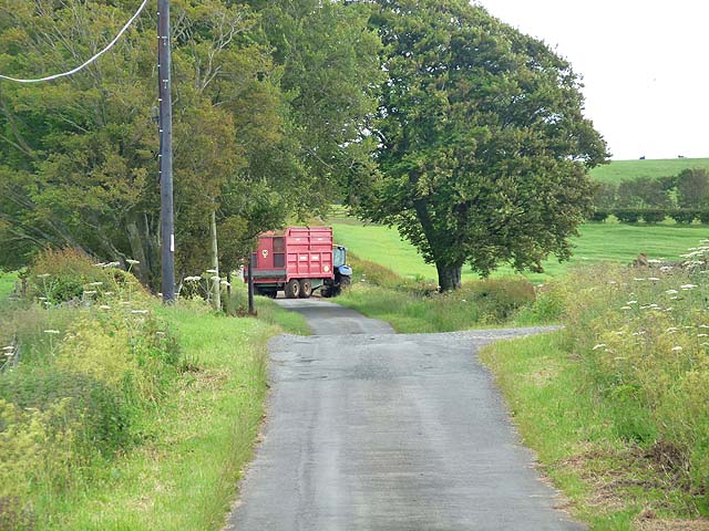
Hagg Hill is easily accessible by foot, with several walking trails leading to its summit. The hill is also a popular spot for paragliders, who take advantage of the favorable wind conditions and enjoy the thrill of flying above the breathtaking landscape. Whether it's for a leisurely hike, a nature walk, or an adrenaline-fueled paragliding adventure, Hagg Hill offers something for everyone seeking to explore the natural beauty of Dumfriesshire.
If you have any feedback on the listing, please let us know in the comments section below.
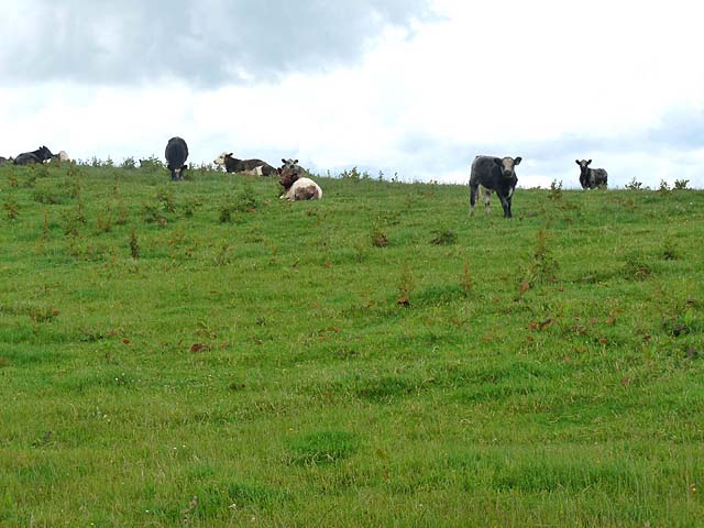
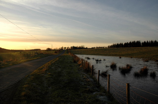
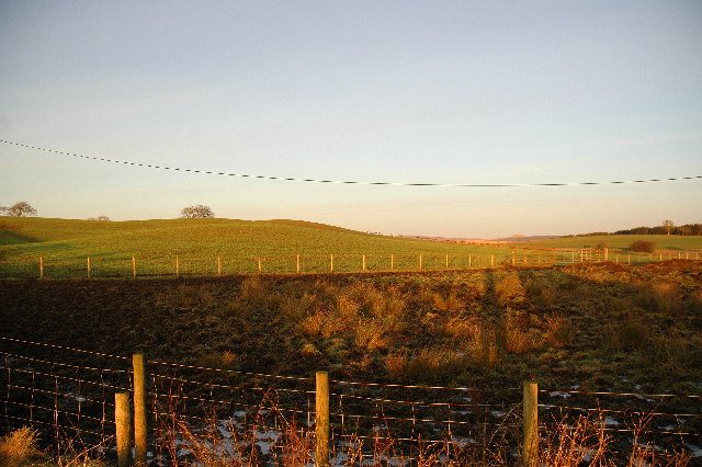
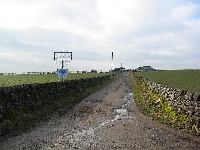
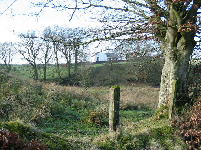
Hagg Hill Images
Images are sourced within 2km of 55.106933/-3.0127128 or Grid Reference NY3579. Thanks to Geograph Open Source API. All images are credited.


Hagg Hill is located at Grid Ref: NY3579 (Lat: 55.106933, Lng: -3.0127128)
Unitary Authority: Dumfries and Galloway
Police Authority: Dumfries and Galloway
What 3 Words
///appealing.darling.mergers. Near Langholm, Dumfries & Galloway
Nearby Locations
Related Wikis

Glencartholm
Glencartholm is a location in Dumfries and Galloway, southern Scotland, along the River Esk.The Glencartholm Volcanic Beds contain a Palaeozoic (specifically...
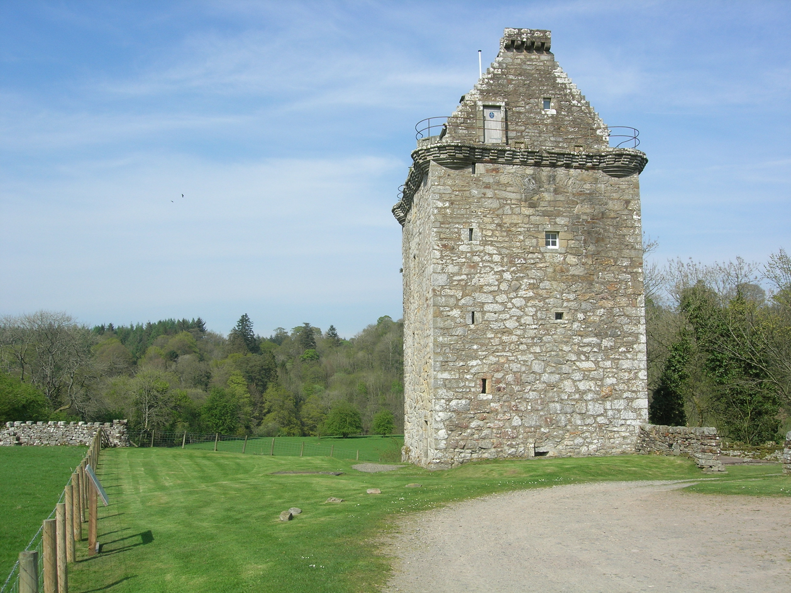
Gilnockie Tower
Gilnockie Tower is a 16th-century tower house, located at the hamlet of Hollows, 2.3 km north of Canonbie, in Dumfriesshire, south-west Scotland. The tower...
Gilnockie railway station
Gilnockie railway station served the hamlet of Hollows, Dumfries and Galloway, Scotland from 1864 to 1967 on the Border Union Railway. == History == The...

Fairy Loup
Fairy Loup is a waterfall located on Byre Burn, a tributary of River Esk, in Dumfries and Galloway, Scotland.The waterfall's name originates in a local...
Related Videos
SALMON FISHING On The Border Esk With @adventurefishinguk ! 🎣
After my last video of nailing a stunning spring salmon, @adventurefishinguk and I fancied a salmon fishing trip and we thought ...
Have you been to Hagg Hill?
Leave your review of Hagg Hill below (or comments, questions and feedback).