Woodhouse Hill

Hill, Mountain in Devon East Devon

England

Woodhouse Hill

Bulmoor Cross, Devon Bulmoor Cross is 2 miles east of Musbury.
Bulmoor Cross, Devon Credit: Stuart Buchan

Woodhouse Hill is a prominent natural feature located in Devon, a county in southwestern England. This hill, measuring approximately 180 meters in height, is situated in the district of East Devon, near the small village of Woodbury Salterton. It forms part of the wider East Devon Area of Outstanding Natural Beauty, known for its picturesque landscapes and diverse wildlife.

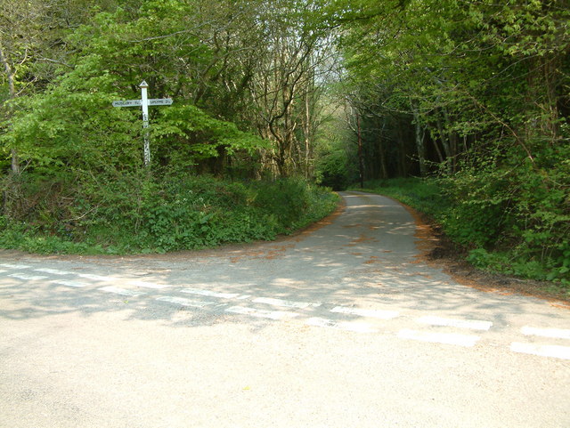
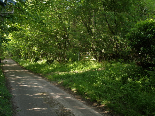
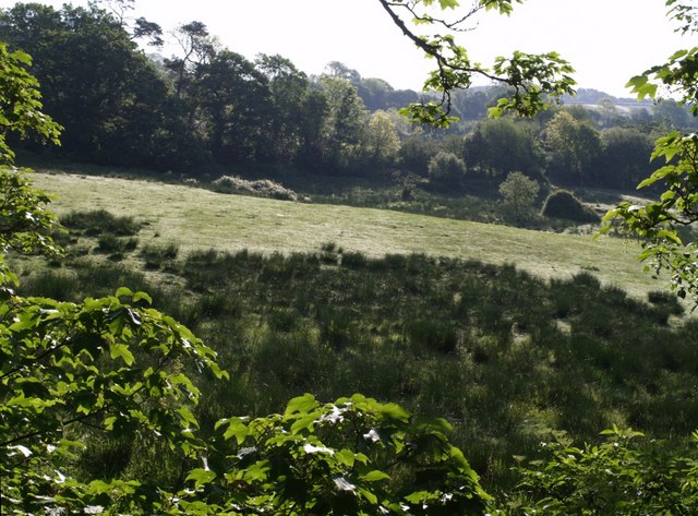
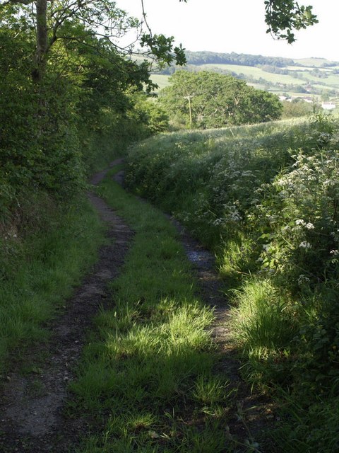
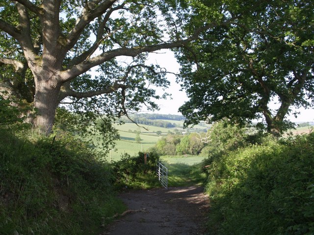
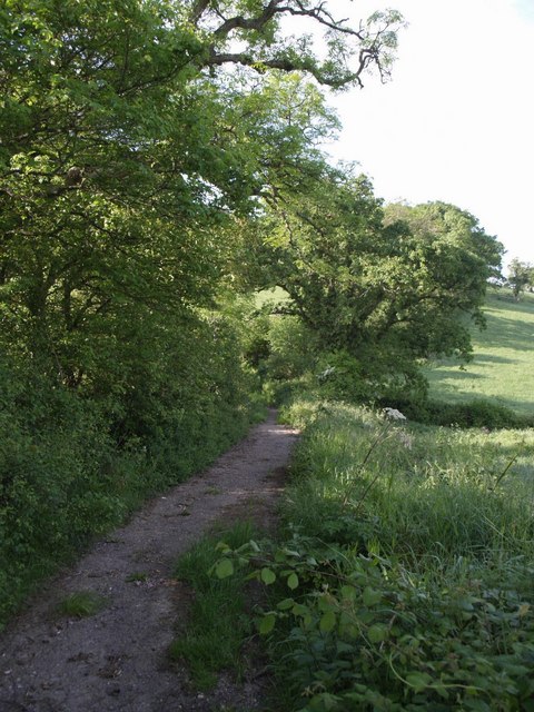
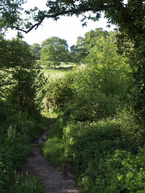
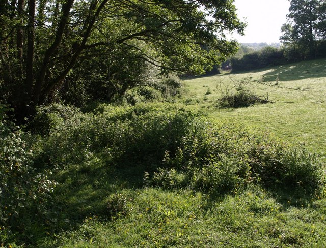
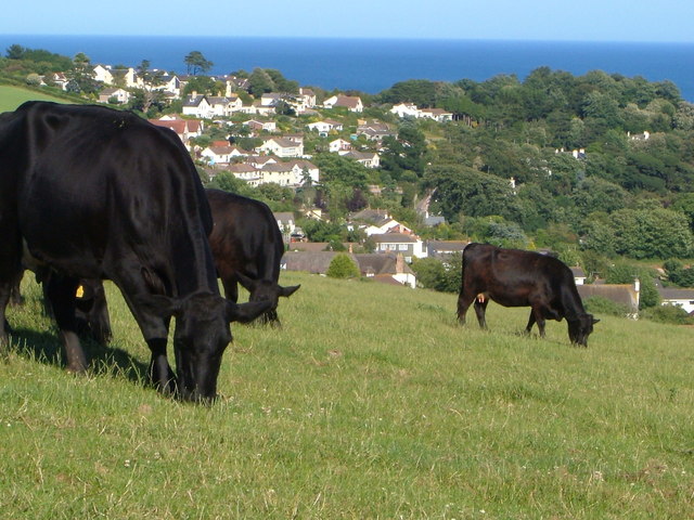
Covered in lush vegetation, Woodhouse Hill offers breathtaking panoramic views of the surrounding countryside. Its slopes are adorned with a variety of trees, including oak, beech, and ash, providing a habitat for numerous bird species, such as woodpeckers and songbirds. The hill's well-maintained footpaths and trails attract hikers, walkers, and nature enthusiasts, who can explore its beauty and enjoy the tranquility of the area.

The summit of Woodhouse Hill provides an ideal vantage point to admire the rolling hills and valleys that characterize the Devonshire landscape. On clear days, it is possible to catch glimpses of the nearby Jurassic Coast, a UNESCO World Heritage Site renowned for its fossil-rich cliffs.

Woodhouse Hill is not only a natural attraction but also holds historical significance. It is believed to have ancient origins, with evidence of Iron Age settlements found in the vicinity. The hill's strategic position may have made it a defensive site during various periods of history.

Overall, Woodhouse Hill offers visitors a chance to connect with nature, appreciate stunning views, and delve into the rich history of the area.

If you have any feedback on the listing, please let us know in the comments section below.

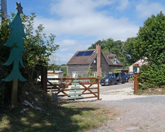
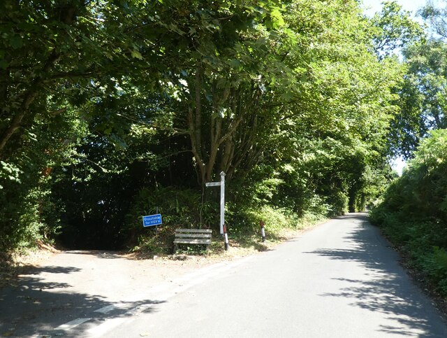
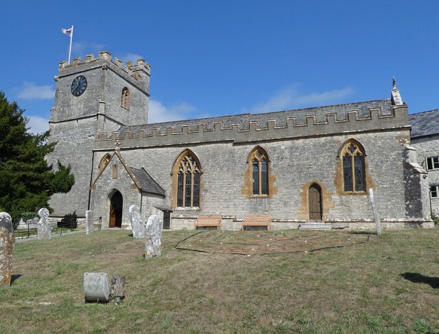
Woodhouse Hill Images

Images are sourced within 2km of 50.745773/-2.9812992 or Grid Reference SY3094. Thanks to Geograph Open Source API. All images are credited.

Bulmoor Cross, Devon Bulmoor Cross is 2 miles east of Musbury.
Bulmoor Cross, Devon
Bulmoor Cross is 2 miles east of Musbury.
View from Pudleylake Road The road briefly crosses the southwest corner of this square, but this view from a gateway on the edge of Ashford Hill Plantation looks right across the square. The valley in the centre carries the tributary of the Axe that flows past Great Trill. The first line of trees on the north side of the valley marks the line of the dismantled Axminster & Lyme Regis Railway. Above the fields is Trinity Hill, in <a href="https://www.geograph.org.uk/gridref/SY3095">SY3095</a>.
View from Pudleylake Road
The road briefly crosses the southwest corner of this square, but this view from a gateway on the edge of Ashford Hill Plantation looks right across the square. The valley in the centre carries the tributary of the Axe that flows past Great Trill. The first line of trees on the north side of the valley marks the line of the dismantled Axminster & Lyme Regis Railway. Above the fields is Trinity Hill, in SY3095.
East Devon Way below Bulmoor The green lane from Bulmoor to Combpyne makes a right-angled bend to the left here, dropping to cross a tributary of the Axe, but the East Devon Way, which has followed it below Woodland Farm, continues as a field path, leaving the square after a few metres.
East Devon Way below Bulmoor
The green lane from Bulmoor to Combpyne makes a right-angled bend to the left here, dropping to cross a tributary of the Axe, but the East Devon Way, which has followed it below Woodland Farm, continues as a field path, leaving the square after a few metres.
Ashford Hill Plantation The gate leads into the northern corner of the plantation. The lane (Pudleylake Road) leads to Bulmoor Cross. <a href="https://www.geograph.org.uk/photo/441660">SY2995 : View from Pudleylake Road</a> was taken from a few yards along the lane on the left.
Ashford Hill Plantation
The gate leads into the northern corner of the plantation. The lane (Pudleylake Road) leads to Bulmoor Cross. SY2995 : View from Pudleylake Road was taken from a few yards along the lane on the left.
Field at Bulmoor A view from the East Devon Way below Bulmoor Cross, where it follows the no through lane to Woodlands Farm.
Field at Bulmoor
A view from the East Devon Way below Bulmoor Cross, where it follows the no through lane to Woodlands Farm.
East Devon Way below Woodland Farm The path follows this green lane to Combpyne as far as <a href="https://www.geograph.org.uk/photo/441693">SY2993 : East Devon Way below Bulmoor</a>. In the distance are farms along Bruckland Lane.
East Devon Way below Woodland Farm
The path follows this green lane to Combpyne as far as SY2993 : East Devon Way below Bulmoor. In the distance are farms along Bruckland Lane.
Green lane below Bulmoor Another view of the turn in the green lane seen in <a href="https://www.geograph.org.uk/photo/441693">SY2993 : East Devon Way below Bulmoor</a>.
Green lane below Bulmoor
Another view of the turn in the green lane seen in SY2993 : East Devon Way below Bulmoor.
Green lane to Combpyne The green lane featured in <a href="https://www.geograph.org.uk/photo/447862">SY2993 : East Devon Way below Woodland Farm</a> drops to cross the valley shown in <a href="https://www.geograph.org.uk/photo/448978">SY2893 : Fields from East Devon Way</a>.
Green lane to Combpyne
The green lane featured in SY2993 : East Devon Way below Woodland Farm drops to cross the valley shown in SY2893 : Fields from East Devon Way.
Green lane to Combpyne The path crosses the stream at the foot of the valley - see <a href="https://www.geograph.org.uk/photo/450000">SY2993 : Green lane to Combpyne</a> - evidence by the damp patch. Beyond rises Edge Hill.
Green lane to Combpyne
The path crosses the stream at the foot of the valley - see SY2993 : Green lane to Combpyne - evidence by the damp patch. Beyond rises Edge Hill.
Field below Edge Hill Looking up the south side of the stream mentioned in <a href="https://www.geograph.org.uk/photo/450013">SY2993 : Green lane to Combpyne</a>, from the gateway seen in that photo.
Field below Edge Hill
Looking up the south side of the stream mentioned in SY2993 : Green lane to Combpyne, from the gateway seen in that photo.
Pitt White Bamboo Garden Gate to Pitt White Bamboo Garden
Pitt White Bamboo Garden
Gate to Pitt White Bamboo Garden
Redlane Cross
Redlane Cross
Yawl Hill
Yawl Hill
Red Lane
Red Lane
Junction at Whitty Down
Holly Hill Christmas tree nurseries
Junction, on Spring Head Road
Church of St Peter & St Paul, Uplyme
Show me another place!

Woodhouse Hill is located at Grid Ref: SY3094 (Lat: 50.745773, Lng: -2.9812992)

Administrative County: Devon

District: East Devon

Police Authority: Devon and Cornwall

What 3 Words

///chatted.truckload.putty. Near Lyme Regis, Dorset

Related Wikis

Holcombe, East Devon

Holcombe is a hamlet in the district of East Devon in the English county of Devon. Holcombe is located northwest of the town of Lyme Regis about a mile...

Abbey Gate, Devon

Abbey Gate is a hamlet just south of Axminster in Devon, England. Abbey Gate is at the junction between the A35 and A358 main roads, just west of Wyke...

Raymond's Hill

Raymond's Hill is a village and residential area off the A35 road in Devon, England, right on the border with the county of Dorset. It is about 2 miles...

Combpyne railway station

Combpyne railway station was the intermediate station on the Lyme Regis branch line in East Devon, England. Serving the village of Combpyne, it was sited...

Related Videos

Having a coastal walk with the dogs, so beautiful.

Check out our dog friendly detached studio with fenced garden ...
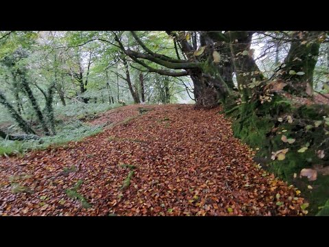
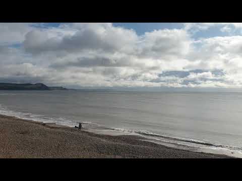
Lyme Regis at 10.30 on 25th Feb 2020

Beaaaaauuutttifullllll !! Come & stay with us a @ www.netherleigh.co.uk #travel #dogfriendly #dogs #coastal #coastalwalks ...
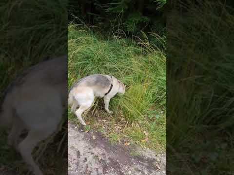
walk in the woods 😊

2.5 mile lunchtime wander around lovely trinity hills wood near Lyme Regis.

Nearby Amenities

Located within 500m of 50.745773,-2.9812992
Hartgrove
Junction: yes
Lat/Long: 50.7435556/-2.986828
Generator Method: photovoltaic
Generator Output Electricity: yes
Generator Source: solar
Generator Type: solar_photovoltaic_panel
Location: roof
Power: generator
Lat/Long: 50.7437871/-2.9789016
Generator Method: photovoltaic
Generator Output Electricity: yes
Generator Source: solar
Generator Type: solar_photovoltaic_panel
Location: roof
Power: generator
Lat/Long: 50.7422952/-2.9811479
Generator Method: photovoltaic
Generator Output Electricity: yes
Generator Source: solar
Generator Type: solar_photovoltaic_panel
Location: roof
Power: generator
Lat/Long: 50.7423147/-2.9804881
Generator Method: photovoltaic
Generator Output Electricity: yes
Generator Source: solar
Generator Type: solar_photovoltaic_panel
Location: roof
Power: generator
Lat/Long: 50.7453511/-2.9864104
Generator Method: photovoltaic
Generator Output Electricity: yes
Generator Source: solar
Generator Type: solar_photovoltaic_panel
Location: roof
Power: generator
Lat/Long: 50.7425179/-2.977999
Generator Method: photovoltaic
Generator Output Electricity: yes
Generator Source: solar
Generator Type: solar_photovoltaic_panel
Location: roof
Power: generator
Lat/Long: 50.7424959/-2.9781438
Power: pole
Source: bing
Lat/Long: 50.7433645/-2.9865593
Power: pole
Source: bing
Lat/Long: 50.7430352/-2.9859571
Power: pole
Source: bing
Lat/Long: 50.7427628/-2.9852973
Power: pole
Source: bing
Lat/Long: 50.7423091/-2.9842351
Power: pole
Source: bing
Lat/Long: 50.7418292/-2.9831207
Power: pole
Source: bing
Lat/Long: 50.7414388/-2.9822141
Addr Housename: Knowles
Lat/Long: 50.7452579/-2.9863723
Addr Housename: Bridlepath Lodge
Lat/Long: 50.743896/-2.978869
Woodhouse Hill
Ele: 195
Natural: peak
Lat/Long: 50.7457341/-2.9811438
The data included in this document is from www.openstreetmap.org. The data is made available under ODbL.

Have you been to Woodhouse Hill?

Leave your review of Woodhouse Hill below (or comments, questions and feedback).