Cairnlea Hill

Hill, Mountain in Aberdeenshire

Scotland

Cairnlea Hill

Clach Choutsaich From some distance away, on the track in.
Clach Choutsaich Credit: Peter Aikman

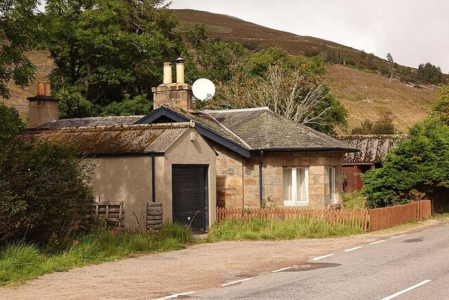
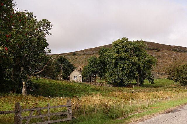
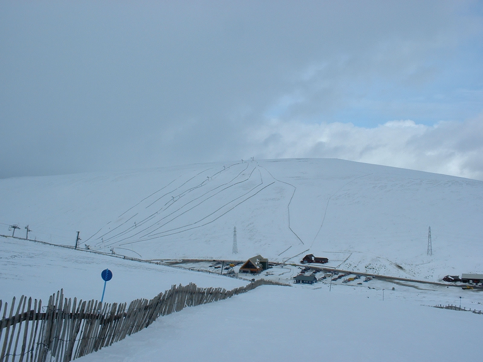
Cairnlea Hill is a prominent hill located in Aberdeenshire, Scotland. Standing at an elevation of approximately 426 meters (1,397 feet), it is nestled within the picturesque landscape of the Scottish Highlands. The hill is situated near the village of Tarland and lies within the Cairngorms National Park, renowned for its stunning natural beauty and rich biodiversity.

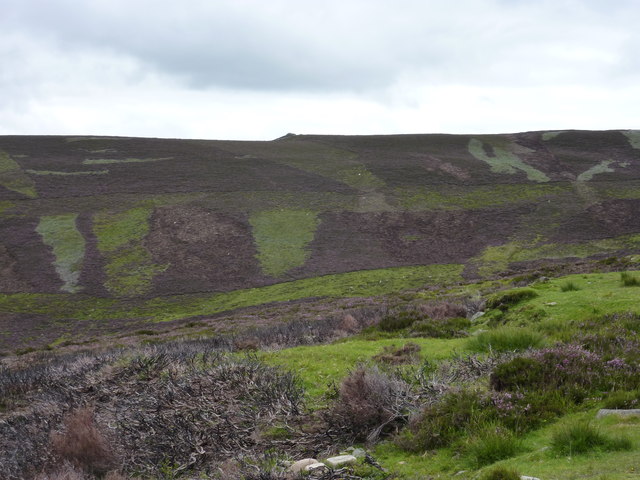
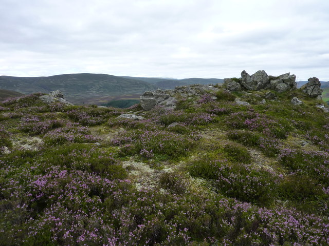
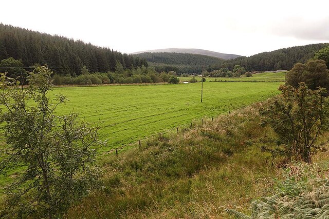
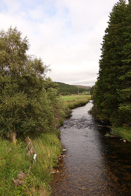
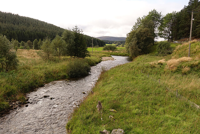
Cairnlea Hill is characterized by its distinctive shape, featuring a rounded summit and gentle slopes covered in heather and grass. Its geological composition consists mainly of granite, a common feature of the region. The hill provides excellent panoramic views of the surrounding countryside, offering visitors a breathtaking vista of rolling hills, dense forestry, and the meandering River Dee.

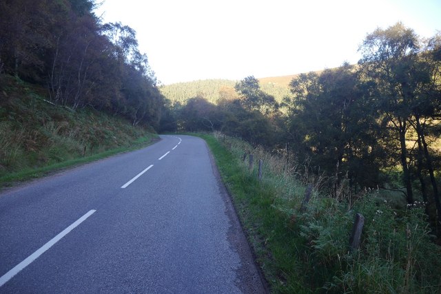
Access to Cairnlea Hill is relatively straightforward, with various footpaths and trails leading to the summit. Hikers and nature enthusiasts frequent the area, drawn by its tranquil ambiance and the opportunity to explore the diverse flora and fauna that inhabit the hillside. The hill is home to an array of wildlife, including red grouse, roe deer, and various bird species.

Cairnlea Hill also holds historical significance, with several archaeological sites in its vicinity. These include ancient burial cairns and stone circles, providing a glimpse into the area's past and the lives of its early inhabitants.

Overall, Cairnlea Hill offers a captivating and immersive experience for those who venture to its peak, showcasing the rugged charm and natural splendor that Aberdeenshire has to offer.

If you have any feedback on the listing, please let us know in the comments section below.

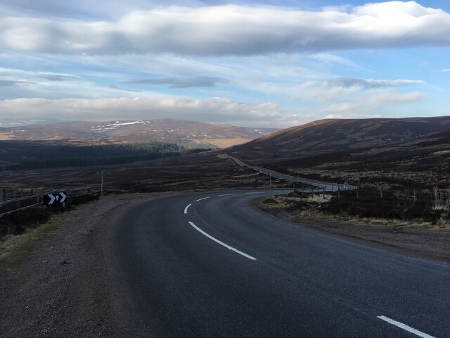
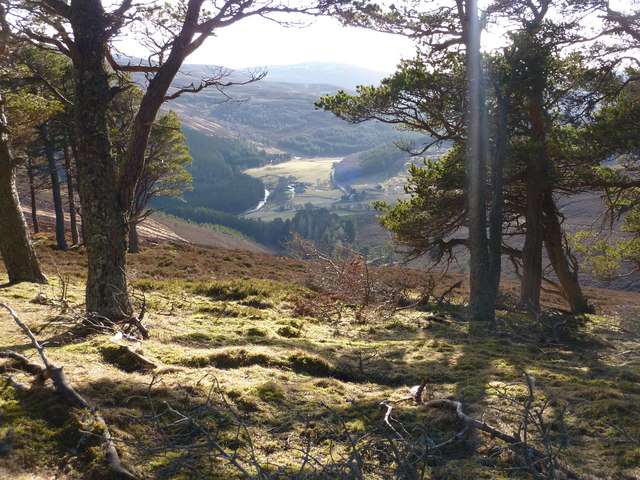
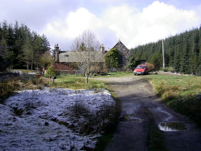
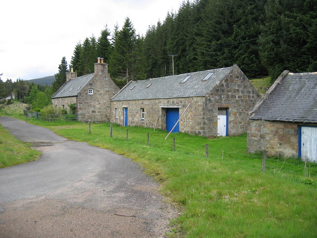
Cairnlea Hill Images

Images are sourced within 2km of 57.15715/-3.1445692 or Grid Reference NJ3007. Thanks to Geograph Open Source API. All images are credited.

Clach Choutsaich From some distance away, on the track in.
Clach Choutsaich
From some distance away, on the track in.
Clach Choutsaich from the west With frost-shattered scree below it.
Clach Choutsaich from the west
With frost-shattered scree below it.
Clach Choutsaich from the east In the middle distance left is Carn Leac Saighdeir, and in the far distance you can just see Ben Avon with its tors. One of these is another Clach Choutsaich.
Clach Choutsaich from the east
In the middle distance left is Carn Leac Saighdeir, and in the far distance you can just see Ben Avon with its tors. One of these is another Clach Choutsaich.
A944, Strathdon Just east of the junction with the A939. This is quite high up, yet there are still some arable fields amongst the moors and woods.
A944, Strathdon
Just east of the junction with the A939. This is quite high up, yet there are still some arable fields amongst the moors and woods.
Haugh Land in Strathdon A haugh is an area of flat land beside a river, the equivalent of a flood plain or water meadow in England. The farm in the distance is Colnabaichin, standing safely on higher ground, away from the risk of flooding in a spate.
Haugh Land in Strathdon
A haugh is an area of flat land beside a river, the equivalent of a flood plain or water meadow in England. The farm in the distance is Colnabaichin, standing safely on higher ground, away from the risk of flooding in a spate.
River Don Looking downstream from the bridge that carries the A939.
River Don
Looking downstream from the bridge that carries the A939.
River Don Looking upstream from the A939 bridge.
River Don
Looking upstream from the A939 bridge.
Colnabaichin Toll House Instantly recognisable as a toll house because of the windows set at 45º to the road, so that the toll keeper could easily see approaching traffic. It is a Category C Listed building. See <span class="nowrap"><a title="http://portal.historicenvironment.scot/designation/LB16174" rel="nofollow ugc noopener" href="http://portal.historicenvironment.scot/designation/LB16174">Link</a><img style="margin-left:2px;" alt="External link" title="External link - shift click to open in new window" src="https://s1.geograph.org.uk/img/external.png" width="10" height="10"/></span> for details and some history.
Colnabaichin Toll House
Instantly recognisable as a toll house because of the windows set at 45º to the road, so that the toll keeper could easily see approaching traffic. It is a Category C Listed building. See LinkExternal link for details and some history.
Post Box A rural post box still in regular use. It is a type manufactured by the Carron Company, near Falkirk.
Post Box
A rural post box still in regular use. It is a type manufactured by the Carron Company, near Falkirk.
House at Colnabaichin A small house just off the A944 close to its junction with the A939.
House at Colnabaichin
A small house just off the A944 close to its junction with the A939.
Sheep in Strathdon Pasture land beside the River Don.
Sheep in Strathdon
Pasture land beside the River Don.
Warning Notice The roads authority finally realised that <a href="https://www.geograph.org.uk/photo/3559672">NJ2900 : Trouble at the bridge!</a>, built in the 1740s, is totally unsuitable for use by large and heavy vehicles. I have more than once waited there while a tour bus has decanted its passengers to inch gingerly across the hump and round the right-angled bend immediately north of it. And of course it's always necessary to tell drivers not to trust their SatNav. The tall new road signs at the actual junction are shrouded in cloth so I can't tell what they are saying.
Warning Notice
The roads authority finally realised that NJ2900 : Trouble at the bridge!, built in the 1740s, is totally unsuitable for use by large and heavy vehicles. I have more than once waited there while a tour bus has decanted its passengers to inch gingerly across the hump and round the right-angled bend immediately north of it. And of course it's always necessary to tell drivers not to trust their SatNav. The tall new road signs at the actual junction are shrouded in cloth so I can't tell what they are saying.
A944 towards Corgarff
Junction of the A939 and A944
A939 towards Corgarff
The Valley of the River Don Looking S.W. from the small pine wood above Skellater.
The Valley of the River Don
Looking S.W. from the small pine wood above Skellater.
Our Lady of the Snows, Corgarff The chapel served the local Gaelic-speaking Catholic community and, this far out of the way, was constructed even during penal times. Local Catholics and Gaelic-speakers alike are now pretty well extinct. The chapel may be secularised: certainly the adjacent house is no longer used by the Church. But, even in May, Our Lady still looks out on her snows!
Our Lady of the Snows, Corgarff
The chapel served the local Gaelic-speaking Catholic community and, this far out of the way, was constructed even during penal times. Local Catholics and Gaelic-speakers alike are now pretty well extinct. The chapel may be secularised: certainly the adjacent house is no longer used by the Church. But, even in May, Our Lady still looks out on her snows!
West Tornahaish steading
Show me another place!

Cairnlea Hill is located at Grid Ref: NJ3007 (Lat: 57.15715, Lng: -3.1445692)

Unitary Authority: Aberdeenshire

Police Authority: North East

What 3 Words

///reshape.casino.relatives. Near Ballater, Aberdeenshire

Nearby Locations

Cairnlea Hill

Related Wikis

Corgarff

Corgarff (Scottish Gaelic: Corr Garaidh) is a hamlet in Aberdeenshire, Scotland, in the Grampian Mountains. The nearby Corgarff Castle was used as a military...

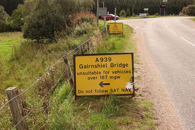
Cock Bridge (Aberdeenshire)

Cock Bridge is a settlement in Aberdeenshire, Scotland, located in the Cairngorms National Park, on the A939 road near Corgarff and Corgarff Castle, between...

Lecht Ski Centre

The Lecht Ski Centre is an alpine ski area in the Cairngorms in the Scottish Highlands. The ski slopes are set around the mountains Beinn a' Chruinnich...

Corgarff Castle

Corgarff Castle is located slightly west of the village of Corgarff, in Aberdeenshire, north-east Scotland. It stands by the Lecht road, which crosses...

Nearby Amenities

Located within 500m of 57.15715,-3.1445692
Cairnlea Hill
Ele: 596
Natural: peak
Lat/Long: 57.1565412/-3.1445001
The data included in this document is from www.openstreetmap.org. The data is made available under ODbL.

Have you been to Cairnlea Hill?

Leave your review of Cairnlea Hill below (or comments, questions and feedback).