Hill of Yarrows

Hill, Mountain in Caithness

Scotland

Hill of Yarrows

Junction of tracks in Camster Forest Cycle trail bears round to the right
Junction of tracks in Camster Forest Credit: John Ferguson

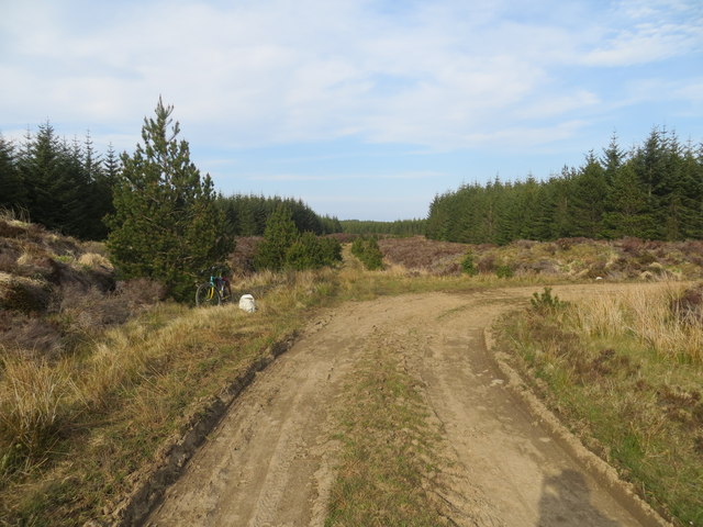
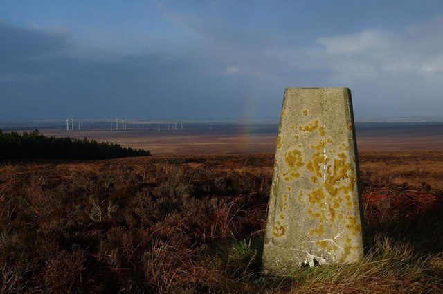
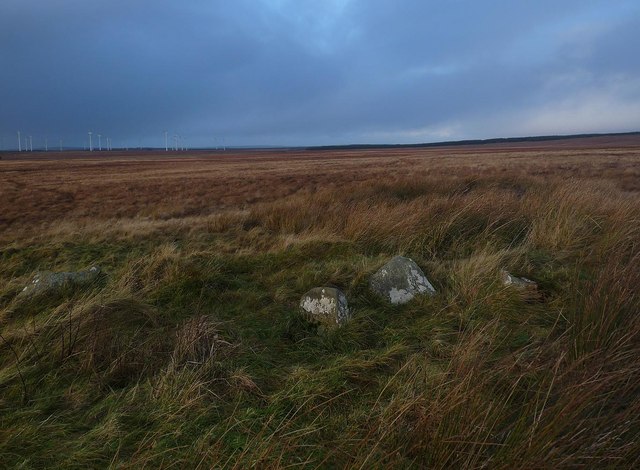
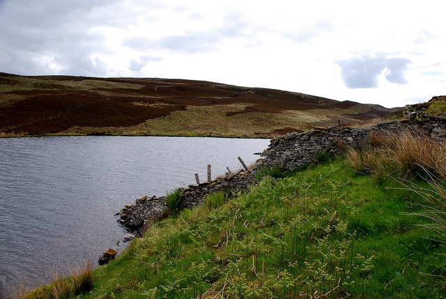
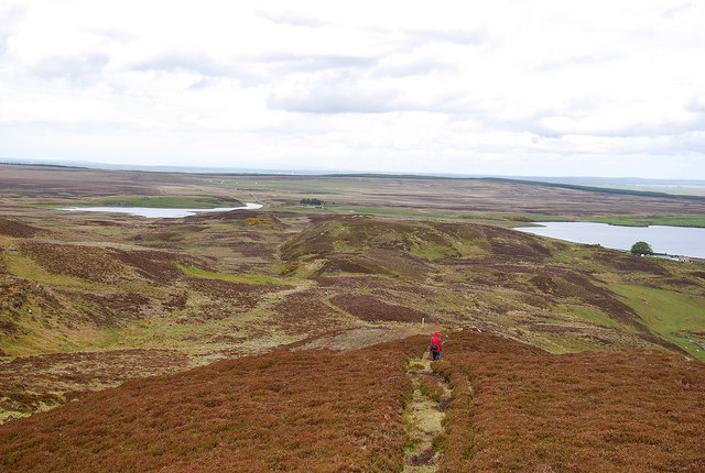
Hill of Yarrows is a prominent landmark located in Caithness, Scotland. Rising to a height of 137 meters (449 feet), it offers stunning panoramic views of the surrounding countryside and coastline. The hill is known for its distinctive conical shape and is a popular destination for hikers and nature enthusiasts.

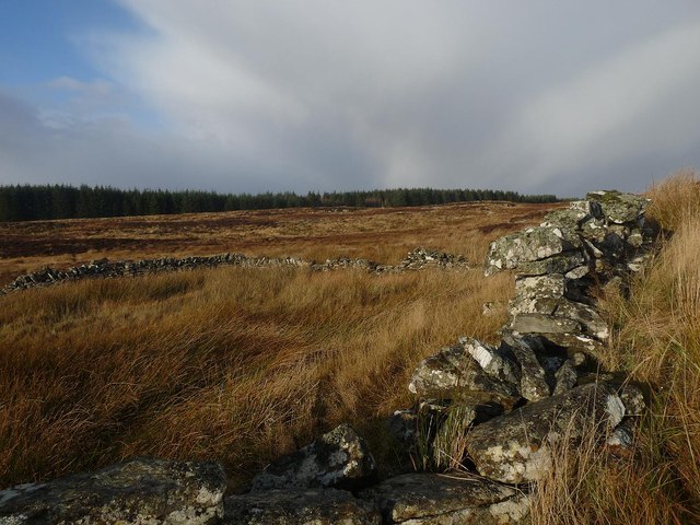
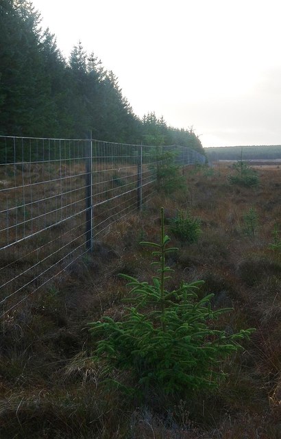
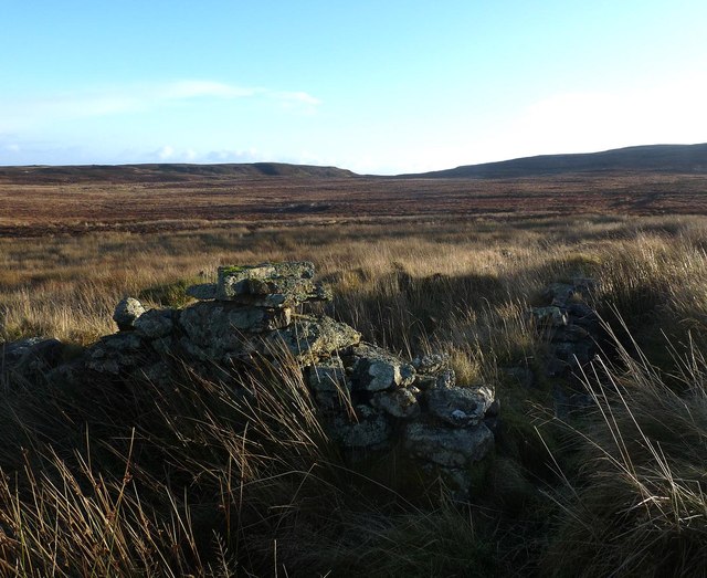
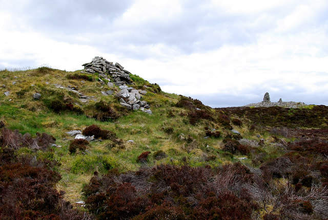
The Hill of Yarrows is steeped in history, with archaeological remains dating back to the Bronze Age. There are several burial cairns and standing stones scattered across the hill, adding to its mystique and allure. The site has been the subject of various archaeological excavations, uncovering valuable insights into the ancient inhabitants of the area.

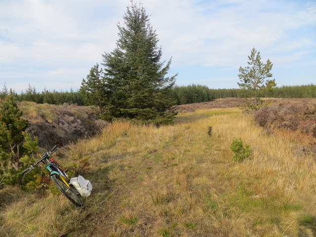
Visitors to the Hill of Yarrows can enjoy a leisurely walk to the summit, where they can take in breathtaking views of the rugged Caithness landscape. The hill is also home to a diverse range of flora and fauna, making it a haven for wildlife enthusiasts.

Overall, the Hill of Yarrows is a must-visit destination for those looking to explore the natural beauty and rich history of the Caithness region.

If you have any feedback on the listing, please let us know in the comments section below.

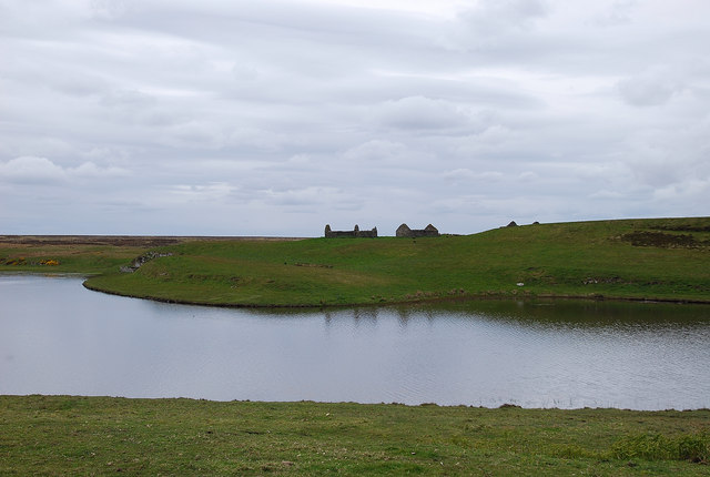
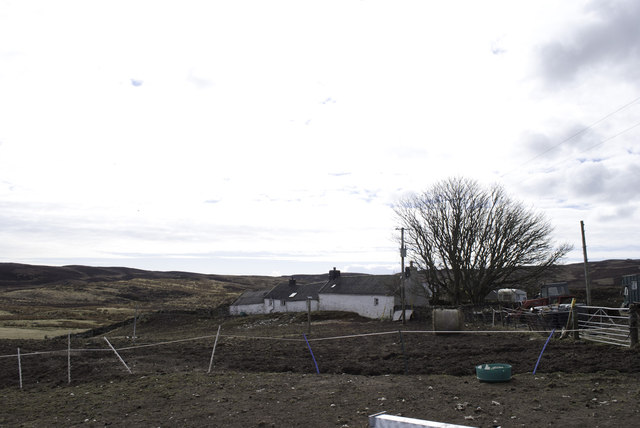
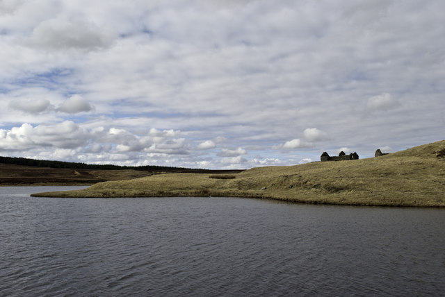
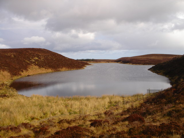
Hill of Yarrows Images

Images are sourced within 2km of 58.367959/-3.2048507 or Grid Reference ND2942. Thanks to Geograph Open Source API. All images are credited.
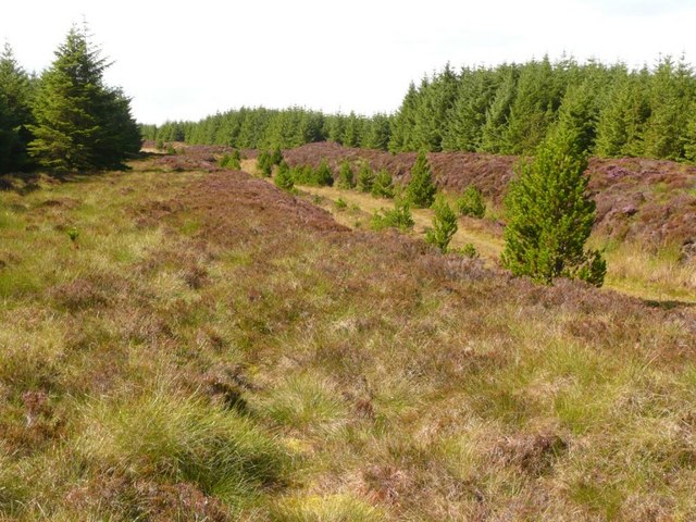
Junction of tracks in Camster Forest Cycle trail bears round to the right
Junction of tracks in Camster Forest
Cycle trail bears round to the right
End of a track in Camster Forest
Triangulation pillar, Hill of Yarrows, Caithness Looking towards the Camster windfarm.
Triangulation pillar, Hill of Yarrows, Caithness
Looking towards the Camster windfarm.
Enclosure, Warehouse, Caithness The enclosure forms part of the farmstead shown at <a href="https://www.geograph.org.uk/photo/360490">ND3041 : Ruined croft house</a> and lies to the west of it.  The enclosed land is shown as cultivated on the OS six-inch map published in 1877.  Land in an enclosure to the east of the farmstead building is shown as rough pasture.
Enclosure, Warehouse, Caithness
The enclosure forms part of the farmstead shown at ND3041 : Ruined croft house and lies to the west of it. The enclosed land is shown as cultivated on the OS six-inch map published in 1877. Land in an enclosure to the east of the farmstead building is shown as rough pasture.
Forest boundary fence, Yarrows, Caithness
Shieling site near Camster, Caithness Looking towards Camster windfarm (which does not show on the current OS map, as viewed on Get-a-map 06/12/13).
These shieling hut remains are the most visible in a group of hut and pen remains.  Further details are at <span class="nowrap"><a title="http://canmore.rcahms.gov.uk/en/site/270541/details/achairn+burn" rel="nofollow ugc noopener" href="http://canmore.rcahms.gov.uk/en/site/270541/details/achairn+burn">Link</a><img style="margin-left:2px;" alt="External link" title="External link - shift click to open in new window" src="https://s1.geograph.org.uk/img/external.png" width="10" height="10"/></span> .
Shieling site near Camster, Caithness
Looking towards Camster windfarm (which does not show on the current OS map, as viewed on Get-a-map 06/12/13). These shieling hut remains are the most visible in a group of hut and pen remains. Further details are at LinkExternal link .
Ruined farmstead below Hill of Yarrows, Caithness The building was already unroofed in 1871 at the time of the survey for the 1st edition of the OS six-inch map.  A description of the farmstead is available at <span class="nowrap"><a title="http://canmore.rcahms.gov.uk/en/site/97715/details/hill+of+yarrows" rel="nofollow ugc noopener" href="http://canmore.rcahms.gov.uk/en/site/97715/details/hill+of+yarrows">Link</a><img style="margin-left:2px;" alt="External link" title="External link - shift click to open in new window" src="https://s1.geograph.org.uk/img/external.png" width="10" height="10"/></span> .
Ruined farmstead below Hill of Yarrows, Caithness
The building was already unroofed in 1871 at the time of the survey for the 1st edition of the OS six-inch map. A description of the farmstead is available at LinkExternal link .
South Yarrows Very much a working croft with stock.
South Yarrows
Very much a working croft with stock.
Loch of Yarrows The Head of the reservoir looking towards Battle Moss with its wealth of iron age features.
Loch of Yarrows
The Head of the reservoir looking towards Battle Moss with its wealth of iron age features.
Chambered Cairn Shows a chambered cairn known as Warehouse South, on the summit of Warehouse Hill, Yarrows, looking towards a large Bronze Age cairn, known as Warehouse West. The tall 'marker cairns' are modern.
Chambered Cairn
Shows a chambered cairn known as Warehouse South, on the summit of Warehouse Hill, Yarrows, looking towards a large Bronze Age cairn, known as Warehouse West. The tall 'marker cairns' are modern.
The Yarrows Archaeological Trail Looking north along the trail with Loch of Yarrows to the east and Loch Brickigoe to the west.
The Yarrows Archaeological Trail
Looking north along the trail with Loch of Yarrows to the east and Loch Brickigoe to the west.
Warehouse Croft The story goes that this is so called because this glen was once richly populated with crofts which grew produce, the surplus of which was stored here until it went off to market. In front of Warehouse the green patch denotes the site of a broch.
Warehouse Croft
The story goes that this is so called because this glen was once richly populated with crofts which grew produce, the surplus of which was stored here until it went off to market. In front of Warehouse the green patch denotes the site of a broch.
Loch Brickigoe Reflections of the ruined croft buildings in the calm waters.
Loch Brickigoe
Reflections of the ruined croft buildings in the calm waters.
South Yarrows
South Yarrows
Ruins by Loch Brickigoe
Loch of Warehouse A remote loch in the area known as Yarrows.
Loch of Warehouse
A remote loch in the area known as Yarrows.
Forestry road in Moss of Whilk In this section of the forest the access road has cut through fairly deep peat as can be seen by the relative level of heath-land on either side of the road.
Forestry road in Moss of Whilk
In this section of the forest the access road has cut through fairly deep peat as can be seen by the relative level of heath-land on either side of the road.
Thrumster and the Loch of Yarrow Eastern Caithness. looking southwest from south of Wick [camera position estimated]. Comparison with Google Earth imagery suggests that there has been little change of land use in the intervening years.
Thrumster and the Loch of Yarrow
Eastern Caithness. looking southwest from south of Wick [camera position estimated]. Comparison with Google Earth imagery suggests that there has been little change of land use in the intervening years.
Show me another place!

Hill of Yarrows is located at Grid Ref: ND2942 (Lat: 58.367959, Lng: -3.2048507)

Unitary Authority: Highland

Police Authority: Highlands and Islands

What 3 Words

///astounded.friend.switched. Near Wick, Highland

Related Wikis

Achairn Burn

Achairn Burn, known also as Haster Burn, is one of the major tributaries of Wick River, in Caithness, in the Highland area of Scotland. The burn's source...

Welsh's Crossing Halt railway station

Welsh's Crossing Halt was a railway station located south of Thrumster, Highland between Wick and Lybster. == History == The station was opened as part...

Ulbster railway station

Ulbster was a railway station located at Ulbster, Highland, between Wick and Lybster. == History == The station was opened as part of the Wick and Lybster...

Ulbster

Ulbster is a scattered crofting hamlet on the eastern coast of Caithness, within the parish of Wick, in the Scottish Highlands, within the Highland Council...

Have you been to Hill of Yarrows?

Leave your review of Hill of Yarrows below (or comments, questions and feedback).