Loch of Warehouse

Lake, Pool, Pond, Freshwater Marsh in Caithness

Scotland

Loch of Warehouse

Junction of tracks in Camster Forest Cycle trail bears round to the right
Junction of tracks in Camster Forest Credit: John Ferguson

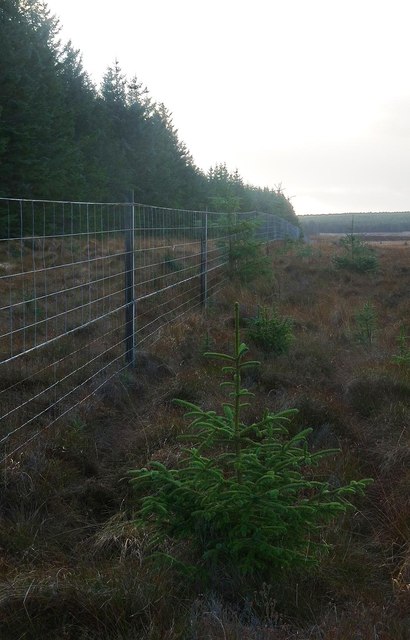
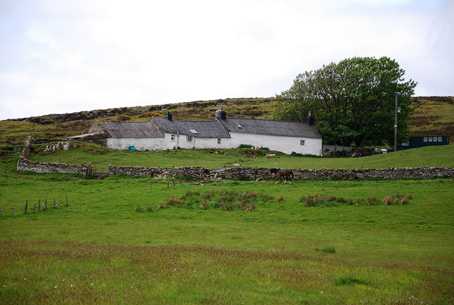
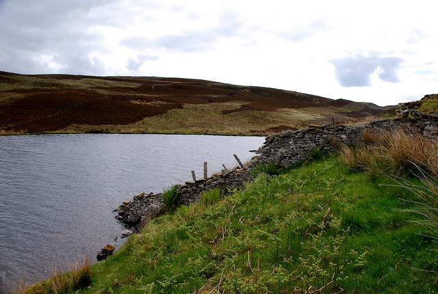
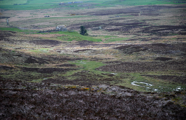
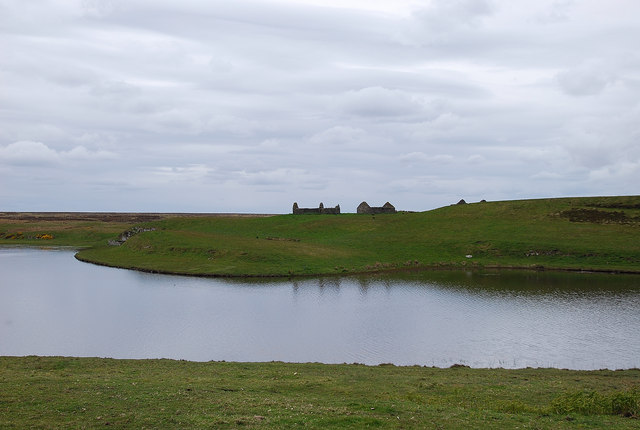
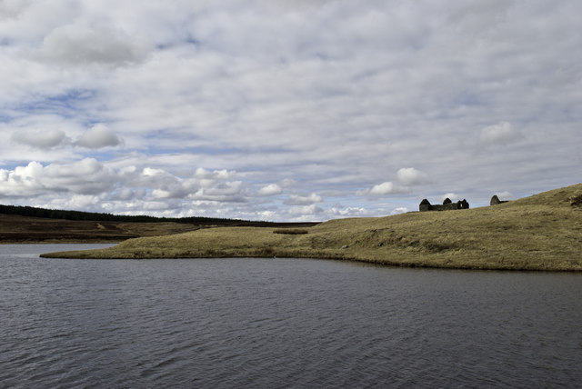
Loch of Warehouse, located in Caithness, Scotland, is a picturesque freshwater loch encompassing an area of approximately 1.5 hectares. Nestled amidst the stunning Scottish Highlands, this natural water body offers a tranquil and serene environment for visitors to enjoy.

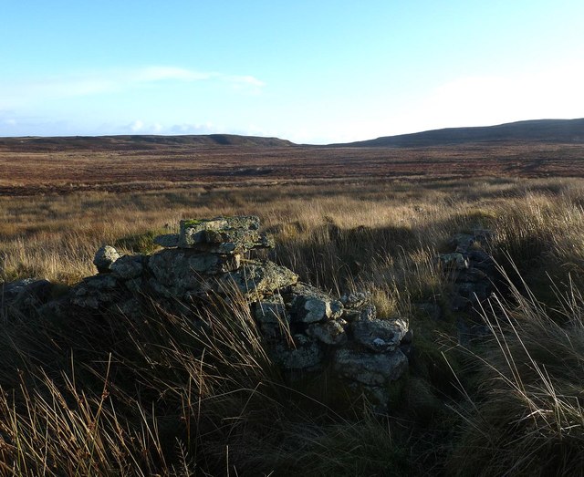
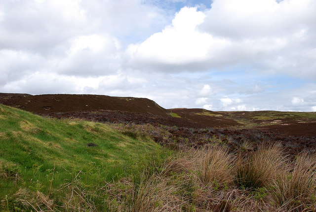
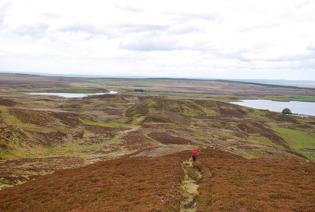
Surrounded by lush greenery and rolling hills, Loch of Warehouse is a haven for nature enthusiasts and birdwatchers. Its diverse ecosystem supports a wide variety of flora and fauna, making it a popular destination for wildlife enthusiasts. The loch is home to an abundance of bird species, including migratory birds such as greylag geese, teal, and wigeon, which can be observed throughout the year. Visitors can also spot other waterfowl like mallards and swans gliding gracefully across the calm waters.

The loch itself is relatively shallow, with an average depth of around 2 meters, and is known for its clear and pristine water. It is fed by several small streams and springs that flow from the surrounding hills, ensuring a constant supply of fresh water. The surrounding marshy areas are teeming with aquatic plants, providing a vital habitat for various aquatic creatures and insects.

Loch of Warehouse offers a peaceful retreat for those seeking tranquility and a connection with nature. Visitors can enjoy a leisurely stroll along the loch's shores, take in the breathtaking scenery, or even indulge in a spot of fishing. The loch is also a popular spot for picnics, with ample space and picnic tables available for visitors to relax and enjoy a meal surrounded by the beauty of nature.

In conclusion, Loch of Warehouse in Caithness is a small yet enchanting freshwater loch that showcases the natural beauty of the Scottish Highlands. With its diverse ecosystem and serene atmosphere, it provides a perfect getaway for nature lovers and those seeking solace in the midst of breathtaking surroundings.

If you have any feedback on the listing, please let us know in the comments section below.

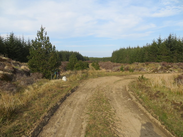
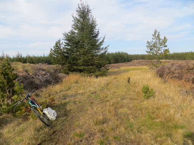
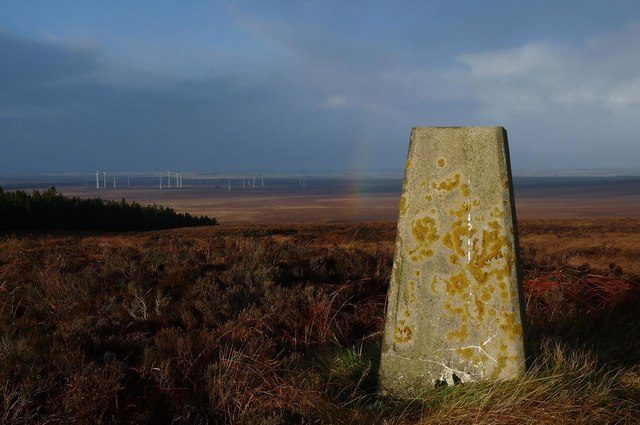
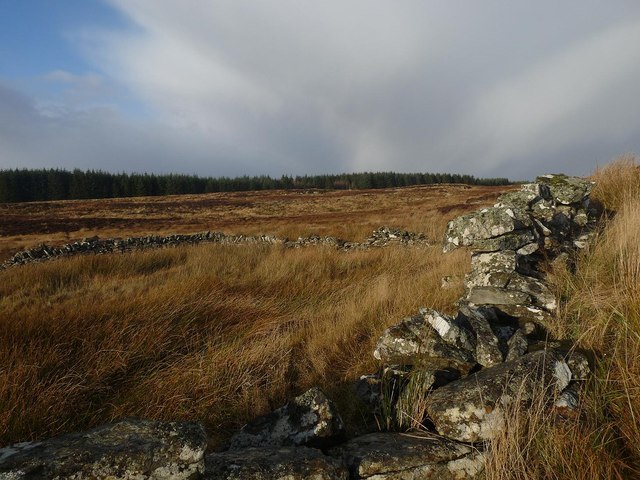
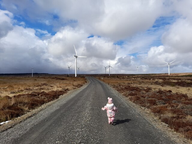
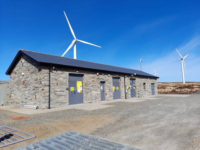
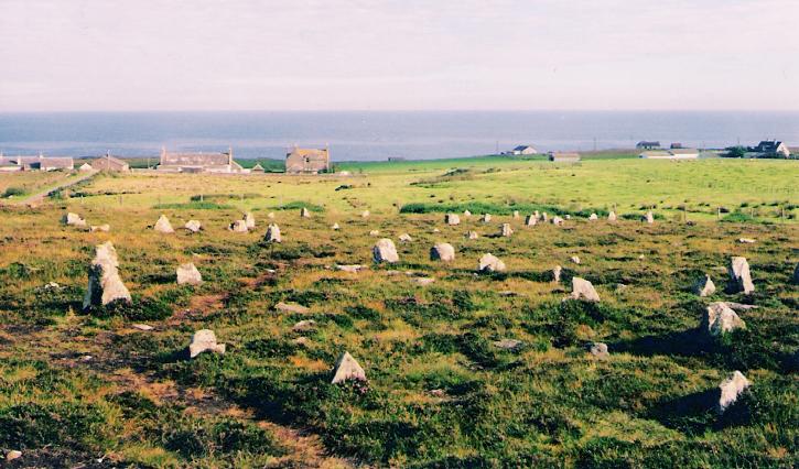
Loch of Warehouse Images

Images are sourced within 2km of 58.364067/-3.1984278 or Grid Reference ND2942. Thanks to Geograph Open Source API. All images are credited.

Junction of tracks in Camster Forest Cycle trail bears round to the right
Junction of tracks in Camster Forest
Cycle trail bears round to the right
End of a track in Camster Forest
Triangulation pillar, Hill of Yarrows, Caithness Looking towards the Camster windfarm.
Triangulation pillar, Hill of Yarrows, Caithness
Looking towards the Camster windfarm.
Enclosure, Warehouse, Caithness The enclosure forms part of the farmstead shown at <a href="https://www.geograph.org.uk/photo/360490">ND3041 : Ruined croft house</a> and lies to the west of it.  The enclosed land is shown as cultivated on the OS six-inch map published in 1877.  Land in an enclosure to the east of the farmstead building is shown as rough pasture.
Enclosure, Warehouse, Caithness
The enclosure forms part of the farmstead shown at ND3041 : Ruined croft house and lies to the west of it. The enclosed land is shown as cultivated on the OS six-inch map published in 1877. Land in an enclosure to the east of the farmstead building is shown as rough pasture.
Forest boundary fence, Yarrows, Caithness
Ruined farmstead below Hill of Yarrows, Caithness The building was already unroofed in 1871 at the time of the survey for the 1st edition of the OS six-inch map.  A description of the farmstead is available at <span class="nowrap"><a title="http://canmore.rcahms.gov.uk/en/site/97715/details/hill+of+yarrows" rel="nofollow ugc noopener" href="http://canmore.rcahms.gov.uk/en/site/97715/details/hill+of+yarrows">Link</a><img style="margin-left:2px;" alt="External link" title="External link - shift click to open in new window" src="https://s1.geograph.org.uk/img/external.png" width="10" height="10"/></span> .
Ruined farmstead below Hill of Yarrows, Caithness
The building was already unroofed in 1871 at the time of the survey for the 1st edition of the OS six-inch map. A description of the farmstead is available at LinkExternal link .
Garrywhin Fort An iron age fort is found north of the Cairns O' Get.  Here seen in profile.
Garrywhin Fort
An iron age fort is found north of the Cairns O' Get. Here seen in profile.
Standing Stones In a circle these three standing stones, unmarked on the map, are to be found at the north end of Garrywhin Fort just beside what looks to be like a chambered cairn.
Standing Stones
In a circle these three standing stones, unmarked on the map, are to be found at the north end of Garrywhin Fort just beside what looks to be like a chambered cairn.
South Yarrows Very much a working croft with stock.
South Yarrows
Very much a working croft with stock.
Loch of Yarrows The Head of the reservoir looking towards Battle Moss with its wealth of iron age features.
Loch of Yarrows
The Head of the reservoir looking towards Battle Moss with its wealth of iron age features.
Chambered Cairn Shows a chambered cairn known as Warehouse South, on the summit of Warehouse Hill, Yarrows, looking towards a large Bronze Age cairn, known as Warehouse West. The tall 'marker cairns' are modern.
Chambered Cairn
Shows a chambered cairn known as Warehouse South, on the summit of Warehouse Hill, Yarrows, looking towards a large Bronze Age cairn, known as Warehouse West. The tall 'marker cairns' are modern.
The Yarrows Archaeological Trail Looking north along the trail with Loch of Yarrows to the east and Loch Brickigoe to the west.
The Yarrows Archaeological Trail
Looking north along the trail with Loch of Yarrows to the east and Loch Brickigoe to the west.
Warehouse Croft The story goes that this is so called because this glen was once richly populated with crofts which grew produce, the surplus of which was stored here until it went off to market. In front of Warehouse the green patch denotes the site of a broch.
Warehouse Croft
The story goes that this is so called because this glen was once richly populated with crofts which grew produce, the surplus of which was stored here until it went off to market. In front of Warehouse the green patch denotes the site of a broch.
Loch Brickigoe Reflections of the ruined croft buildings in the calm waters.
Loch Brickigoe
Reflections of the ruined croft buildings in the calm waters.
South Yarrows
South Yarrows
Ruins by Loch Brickigoe
The Future Burn of Whilk wind farm.
The Future
Burn of Whilk wind farm.
Substation, Burn of Whilk Wind Farm
Show me another place!

Loch of Warehouse is located at Grid Ref: ND2942 (Lat: 58.364067, Lng: -3.1984278)

Unitary Authority: Highland

Police Authority: Highlands and Islands

What 3 Words

///strapped.precautions.dislodge. Near Wick, Highland

Related Wikis

Ulbster railway station

Ulbster was a railway station located at Ulbster, Highland, between Wick and Lybster. == History == The station was opened as part of the Wick and Lybster...

Ulbster

Ulbster is a scattered crofting hamlet on the eastern coast of Caithness, within the parish of Wick, in the Scottish Highlands, within the Highland Council...

Welsh's Crossing Halt railway station

Welsh's Crossing Halt was a railway station located south of Thrumster, Highland between Wick and Lybster. == History == The station was opened as part...

Achairn Burn

Achairn Burn, known also as Haster Burn, is one of the major tributaries of Wick River, in Caithness, in the Highland area of Scotland. The burn's source...

Whaligoe

Whaligoe is a small port in Caithness, in the Highland area of Scotland, which was prospected by Thomas Telford in 1786 during his tour of northern fishing...

Bruan

Bruan (Scottish Gaelic:) is a small crofting hamlet on the east coast of Scotland in Lybster, Caithness, Highland and is in the Scottish council area of...

Upper Camster

Upper Camster is a small hamlet, which lies at the source of the Camster Burn, 4 miles north of Lybster, in Caithness, Scottish Highlands and is in the...

Hill o' Many Stanes

The Hill O Many Stanes is a south-facing hillside (at grid reference ND295384) in Mid Clyth, about 14 kilometres (8.7 mi) south of Wick in Caithness, in...

Have you been to Loch of Warehouse?

Leave your review of Loch of Warehouse below (or comments, questions and feedback).