Appleby Hill

Hill, Mountain in Lancashire South Lakeland

England

Appleby Hill

A5087 Coast Road The A5087 Coast Road in Sea Wood.
A5087 Coast Road Credit: Peter McDermott

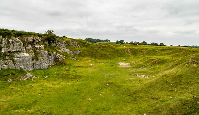
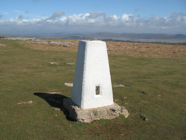
Appleby Hill is a prominent natural landmark located in Lancashire, England. It is situated in the picturesque countryside near the village of Appleby, which lies approximately 12 miles northeast of Lancaster. Standing at an elevation of 284 meters (932 feet), it is classified as a hill rather than a mountain.

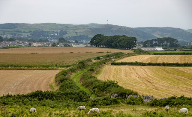
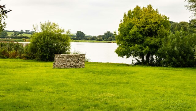
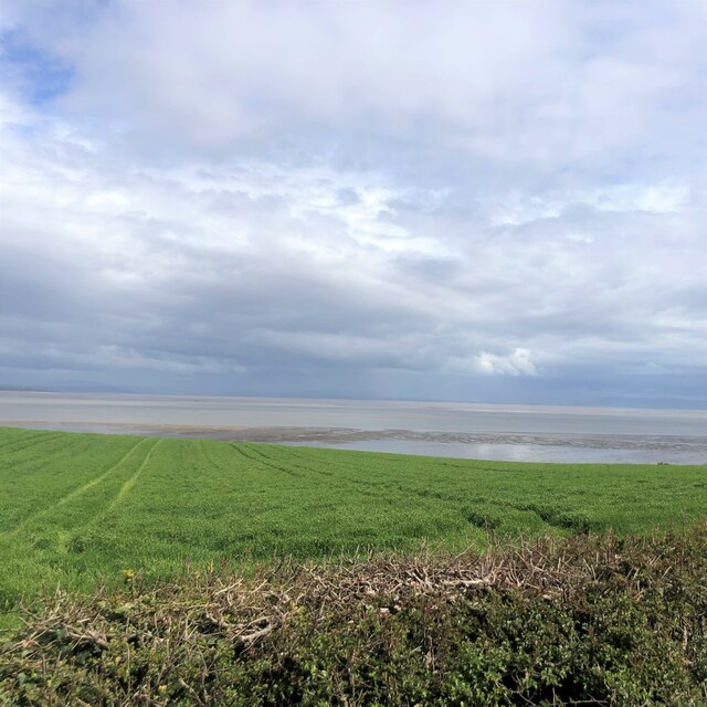
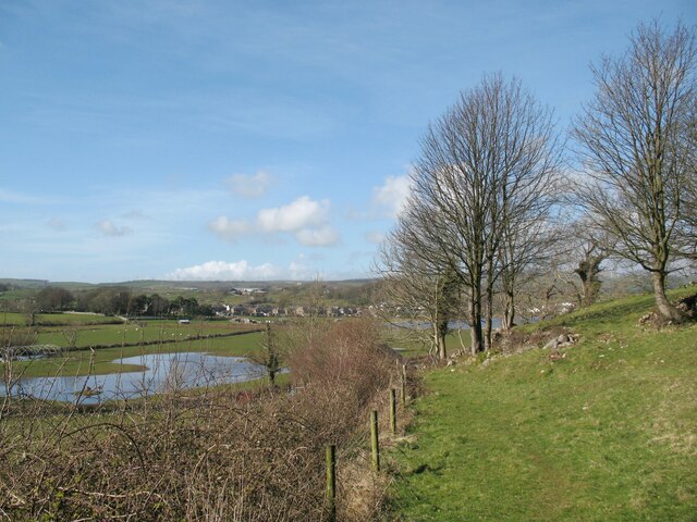
The hill is characterized by its gently sloping sides and offers breathtaking panoramic views of the surrounding landscape. Its summit provides an ideal vantage point to admire the beauty of the rolling hills, lush green fields, and quaint villages that dot the region. On a clear day, one can even catch a glimpse of the distant coastline.

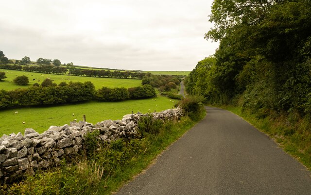
Appleby Hill is a popular destination for outdoor enthusiasts, hikers, and nature lovers. It features well-maintained trails that wind through the hillside, allowing visitors to explore the area and soak in its natural splendor. The hill is also home to a variety of flora and fauna, making it an excellent spot for wildlife observation and birdwatching.

The peaceful ambiance and tranquil atmosphere of Appleby Hill make it a perfect retreat from the hustle and bustle of city life. It attracts both locals and tourists seeking solace in nature, offering a serene and idyllic setting for relaxation and rejuvenation. Whether it's a leisurely stroll, a challenging hike, or simply enjoying a picnic with loved ones, Appleby Hill provides a delightful escape for anyone seeking to connect with the natural world.

If you have any feedback on the listing, please let us know in the comments section below.
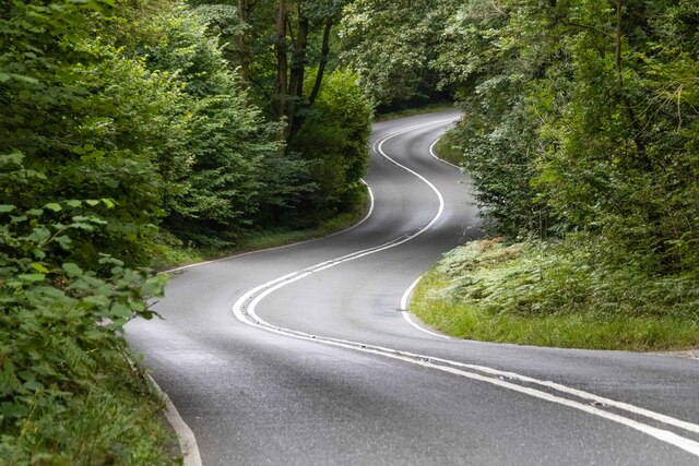
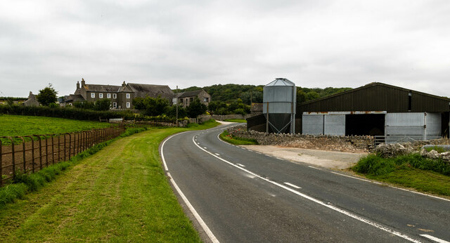
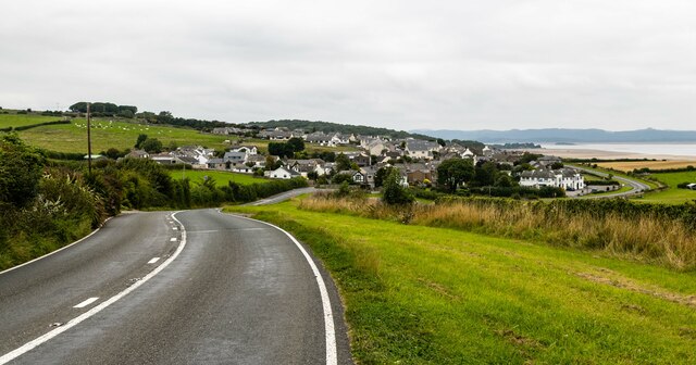
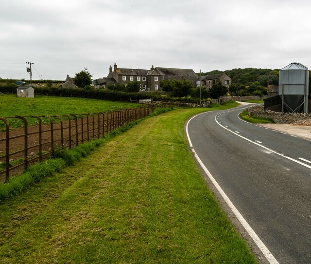
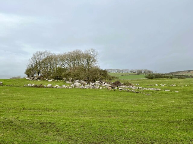
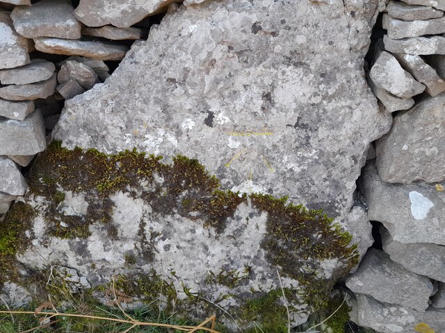
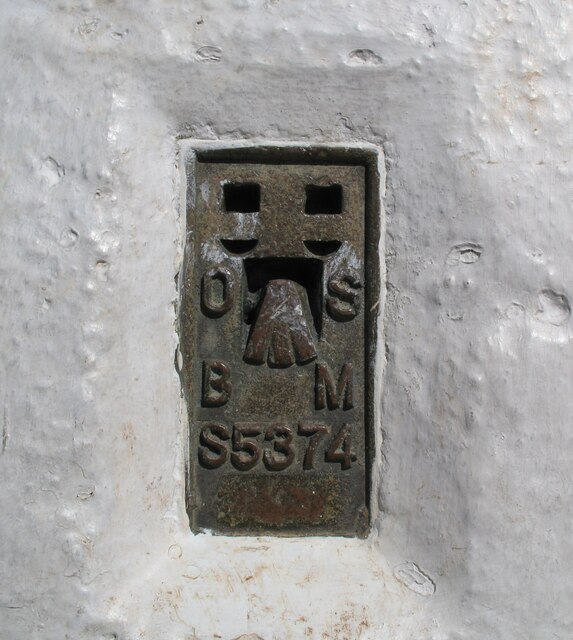
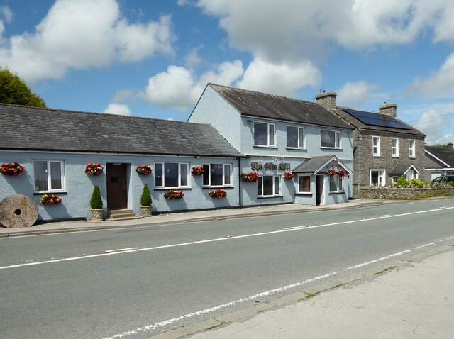
Appleby Hill Images

Images are sourced within 2km of 54.159482/-3.0915823 or Grid Reference SD2874. Thanks to Geograph Open Source API. All images are credited.

A5087 Coast Road The A5087 Coast Road in Sea Wood.
A5087 Coast Road
The A5087 Coast Road in Sea Wood.
A5087 Coast Road The A5087 Coast Road at Seawood Farm.
A5087 Coast Road
The A5087 Coast Road at Seawood Farm.
Bridleway
Bridleway
Birkrigg Common Disused quarry on Birkrigg Common.
Birkrigg Common
Disused quarry on Birkrigg Common.
Whit Gill Lane
Whit Gill Lane
Urswick Tarn
Urswick Tarn
Great Urswick What was the Derby Arms public house in Great Urswick.
Great Urswick
What was the Derby Arms public house in Great Urswick.
Seawood Farm
Seawood Farm
Grass for Silage near Baycliff
Limestone outcrop near Green Slacks A cluster of wind shaped trees have gained a foothold in the grikes in the outcropping limestone. 
Part of the outcrop was incorporated into defensive wall around what is probably an Iron Age farmstead; some of the earthworks are discernible to the right of the trees.
Limestone outcrop near Green Slacks
A cluster of wind shaped trees have gained a foothold in the grikes in the outcropping limestone. Part of the outcrop was incorporated into defensive wall around what is probably an Iron Age farmstead; some of the earthworks are discernible to the right of the trees.
Ordnance Survey Cut Mark This OS cut mark can be found on the gatepost east side of the road. It marks a point 83.558m above mean sea level.
Ordnance Survey Cut Mark
This OS cut mark can be found on the gatepost east side of the road. It marks a point 83.558m above mean sea level.
Ordnance Survey Cut Mark This OS cut mark can be found on the wall west side of the road. It marks a point 88.401m above mean sea level.
Ordnance Survey Cut Mark
This OS cut mark can be found on the wall west side of the road. It marks a point 88.401m above mean sea level.
Triangulation Pillar, Birkrigg Common The well cared for Ordnance Survey triangulation pillar on the summit of Birkrigg Common.  In the background is the Leven Estuary, an arm of Morecambe Bay.
The pillar was constructed in 1949.  The flush bracket benchmark number S5374 on the south face of the pillar marks a height of 136.4955m above sea level (Ordnance Datum Newlyn) last verified in 1968 (photograph <a href="https://www.geograph.org.uk/photo/7121606">SD2874 : Flush Bracket Benchmark, Birkrigg Common</a>).
Triangulation Pillar, Birkrigg Common
The well cared for Ordnance Survey triangulation pillar on the summit of Birkrigg Common. In the background is the Leven Estuary, an arm of Morecambe Bay. The pillar was constructed in 1949. The flush bracket benchmark number S5374 on the south face of the pillar marks a height of 136.4955m above sea level (Ordnance Datum Newlyn) last verified in 1968 (photograph SD2874 : Flush Bracket Benchmark, Birkrigg Common).
Flush Bracket Benchmark, Birkrigg Common Detail of the flush bracket benchmark on the Ordnance Survey triangulation pillar on the summit of Birkrigg Common. The flush bracket, benchmark number S5374, is on the south face of the pillar and marks a height of 136.4955m above sea level (Ordnance Datum Newlyn), last verified in 1968 (location photograph <a href="https://www.geograph.org.uk/photo/7121588">SD2874 : Triangulation Pillar, Birkrigg Common</a>).
Flush Bracket Benchmark, Birkrigg Common
Detail of the flush bracket benchmark on the Ordnance Survey triangulation pillar on the summit of Birkrigg Common. The flush bracket, benchmark number S5374, is on the south face of the pillar and marks a height of 136.4955m above sea level (Ordnance Datum Newlyn), last verified in 1968 (location photograph SD2874 : Triangulation Pillar, Birkrigg Common).
The Olde Mill, Bardsea Powered by water from nearby springs, Bardsea Mill was a corn mill, the main part being located in a building to the south of the present restaurant.
The A5087 road from Ulverston to Barrow-in-Furness is in the foreground.
The Olde Mill, Bardsea
Powered by water from nearby springs, Bardsea Mill was a corn mill, the main part being located in a building to the south of the present restaurant. The A5087 road from Ulverston to Barrow-in-Furness is in the foreground.
Book of Condolences in Great Urswick Church To remember Her Majesty Queen Elizabeth II (1926-2022) on the weekend before her funeral service in London.
Book of Condolences in Great Urswick Church
To remember Her Majesty Queen Elizabeth II (1926-2022) on the weekend before her funeral service in London.
Holme Bank Great Urswick is in the background.
The public footpath from Green Slacks to Holme Bank follows the fence.
Holme Bank
Great Urswick is in the background. The public footpath from Green Slacks to Holme Bank follows the fence.
Show me another place!

Appleby Hill is located at Grid Ref: SD2874 (Lat: 54.159482, Lng: -3.0915823)

Administrative County: Cumbria

District: South Lakeland

Police Authority: Cumbria

What 3 Words

///downs.showdown.beside. Near Swarthmoor, Cumbria

Related Wikis

Birkrigg

Birkrigg or Birkrigg Common is an open-area of limestone countryside near the town of Ulverston on the Furness Peninsula in southern Cumbria, England....

Birkrigg stone circle

The Birkrigg stone circle (also known as the Druid's Temple or Druids' Circle) is a Bronze Age stone circle on Birkrigg Common, two miles south of Ulverston...
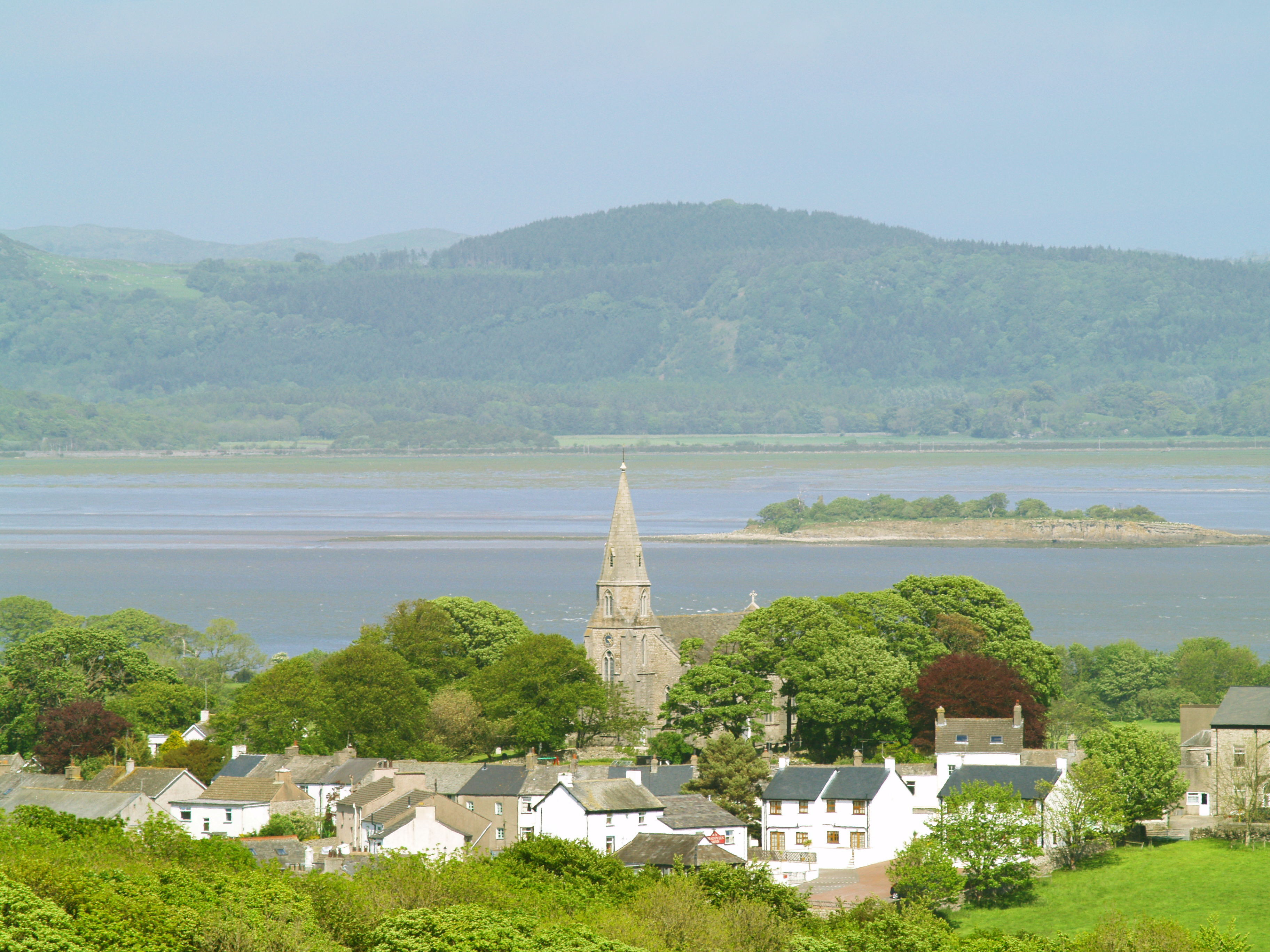
Bardsea

Bardsea is a village in the Low Furness area of Cumbria, England. It is two miles to the south-east of Ulverston on the northern coast of Morecambe Bay...

Baycliff

Baycliff is a seaside village in the South Lakeland District of Cumbria in England. Historically in Lancashire, it lies 3 miles (4.8 km) south of Ulverston...

Nearby Amenities

Located within 500m of 54.159482,-3.0915823
Birkrigg
Ele: 136
Man Made: survey_point
Natural: peak
Lat/Long: 54.1587826/-3.0988528
Appleby Hill
Natural: peak
Lat/Long: 54.1596617/-3.0910065
Birkrigg Common
Place: locality
Lat/Long: 54.1599063/-3.0973336
Power: pole
Lat/Long: 54.1550328/-3.092438
The data included in this document is from www.openstreetmap.org. The data is made available under ODbL.

Have you been to Appleby Hill?

Leave your review of Appleby Hill below (or comments, questions and feedback).