Urswick
Civil Parish in Lancashire South Lakeland
England
Urswick
Urswick is a civil parish located in the county of Lancashire, England. Situated near the southern coast of the Furness Peninsula, it lies approximately 6 miles west of the town of Ulverston and 5 miles north of Barrow-in-Furness. The parish covers an area of around 5 square miles and is home to a population of approximately 1,200 residents.
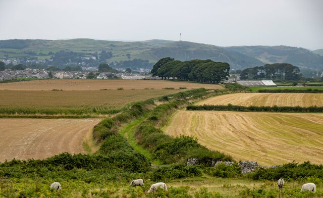
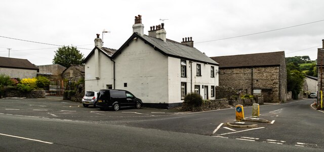
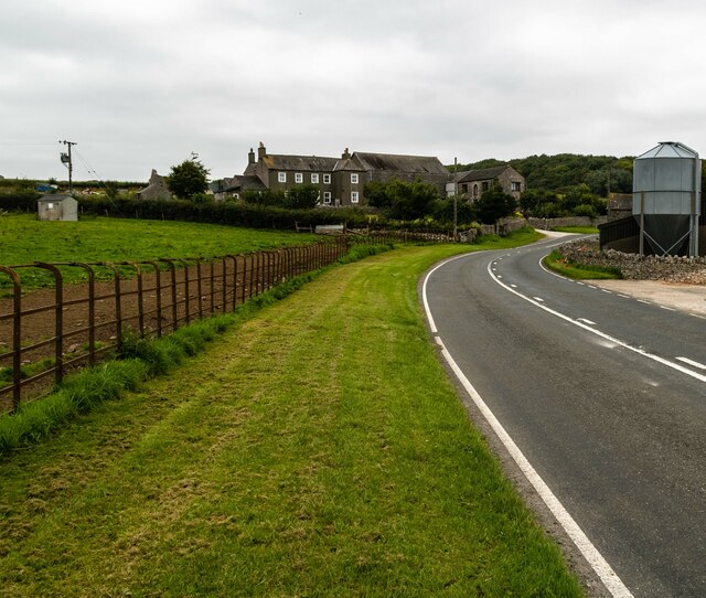
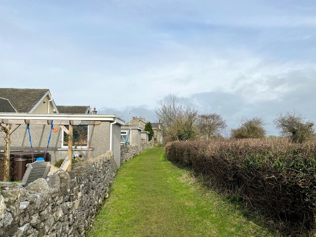
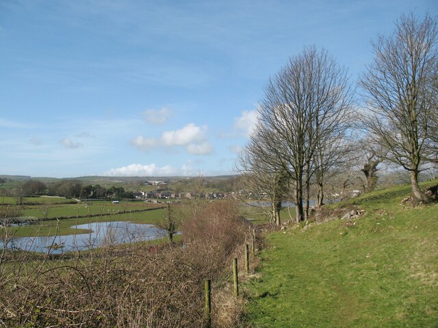
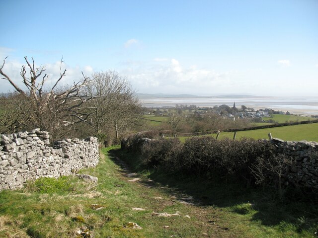
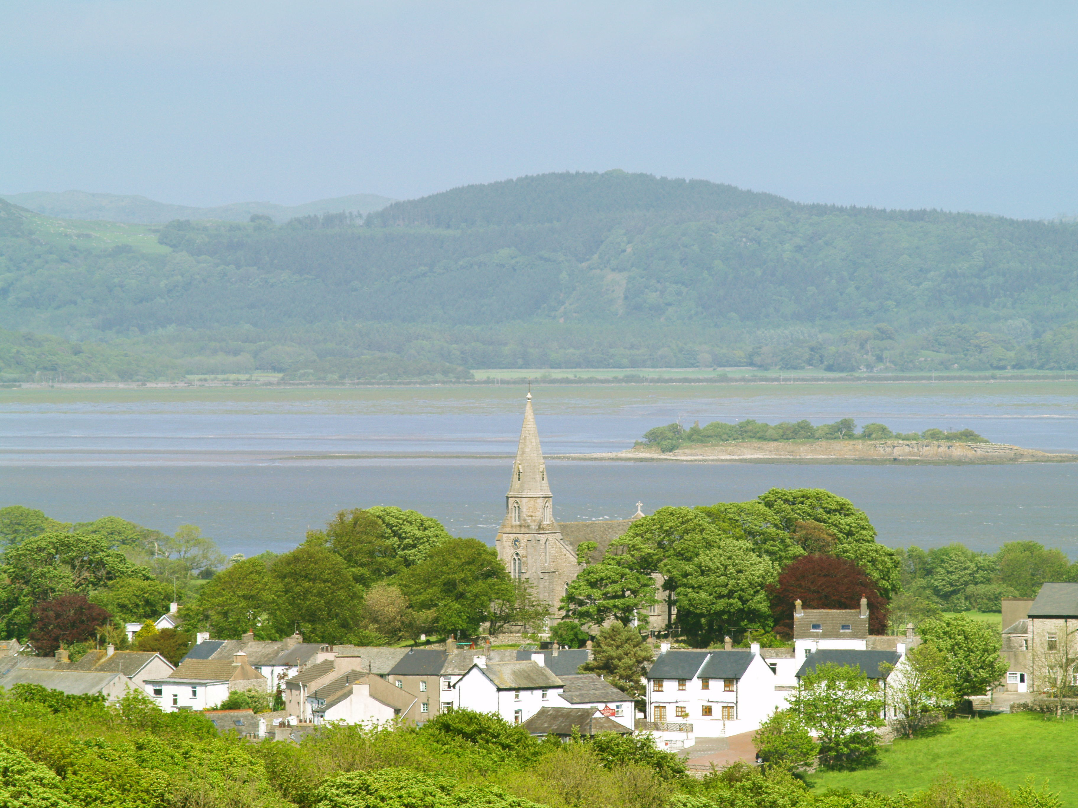
The village of Urswick has a rich history, dating back to medieval times. It is known for its picturesque setting, surrounded by rolling hills and farmland. The village itself is quaint and charming, with traditional stone buildings and a sense of tranquility.
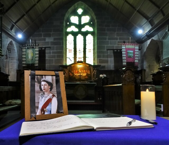
One of the notable landmarks in Urswick is St. Mary's Church, a Grade I listed building that dates back to the 12th century. It is renowned for its stunning architecture and intricate stained glass windows. The church is still in use today and attracts visitors from far and wide.
The village also has a primary school, community center, and a small number of shops and amenities. It offers a peaceful and close-knit community atmosphere, making it an attractive place to live for those seeking a rural lifestyle.
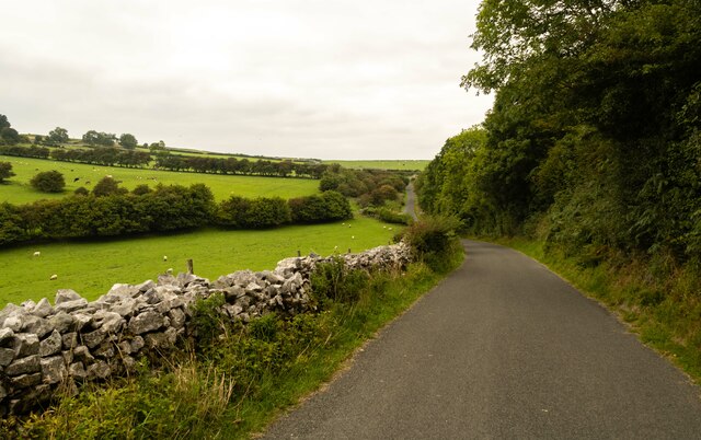
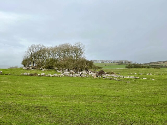
Surrounded by beautiful countryside, Urswick is a great place for outdoor activities such as hiking, cycling, and horse riding. The nearby coast provides opportunities for beach walks and water sports.
In summary, Urswick is a charming civil parish in Lancashire, known for its historic church, beautiful surroundings, and strong sense of community.
If you have any feedback on the listing, please let us know in the comments section below.
Urswick Images
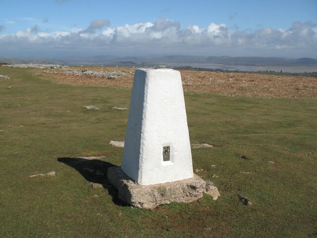
Images are sourced within 2km of 54.164465/-3.103853 or Grid Reference SD2874. Thanks to Geograph Open Source API. All images are credited.


Urswick is located at Grid Ref: SD2874 (Lat: 54.164465, Lng: -3.103853)
Administrative County: Cumbria
District: South Lakeland
Police Authority: Cumbria
What 3 Words
///dearest.shredding.flask. Near Swarthmoor, Cumbria
Nearby Locations
Related Wikis

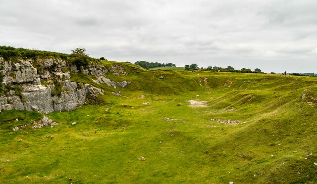
Birkrigg
Birkrigg or Birkrigg Common is an open-area of limestone countryside near the town of Ulverston on the Furness Peninsula in southern Cumbria, England....

Heaning Wood Bone Cave
Heaning Wood Bone Cave is a cave of archaeological importance in Great Urswick, Cumbria, England.The cave was first excavated by Holland in 1958, when...

St Mary and St Michael's Church, Great Urswick
St Mary and St Michael's Church is in the village of Great Urswick, Cumbria, England. It is an active Anglican parish church in the deanery of Furness...

Urswick
Urswick is a civil parish that includes the villages of Great Urswick and Little Urswick. It is located in the Furness area of Cumbria, England. The villages...

Birkrigg stone circle
The Birkrigg stone circle (also known as the Druid's Temple or Druids' Circle) is a Bronze Age stone circle on Birkrigg Common, two miles south of Ulverston...
Bardsea
Bardsea is a village in the Low Furness area of Cumbria, England. It is two miles to the south-east of Ulverston on the northern coast of Morecambe Bay...
Urswick Grammar School
Urswick Grammar School was located in Little Urswick, Cumbria, England. The school was founded in 1585 as the result of a royal charter granted by Queen...

Swarthmoor
Swarthmoor is a small village near Ulverston, in Cumbria, England. Located on the Furness peninsula, it was historically part of Lancashire. == Etymology... ==
Nearby Amenities
Located within 500m of 54.164465,-3.103853Have you been to Urswick?
Leave your review of Urswick below (or comments, questions and feedback).