Ardgarth Hill

Hill, Mountain in Angus

Scotland

Ardgarth Hill

Smith Loch and Smithton Hill Most of this square is a newly planted conifer plantation, broken up by heathery moorland. The swampy area of Smith Loch is the most prominent 'feature' in the landscape. Hard going.
Smith Loch and Smithton Hill Credit: Aleks Scholz

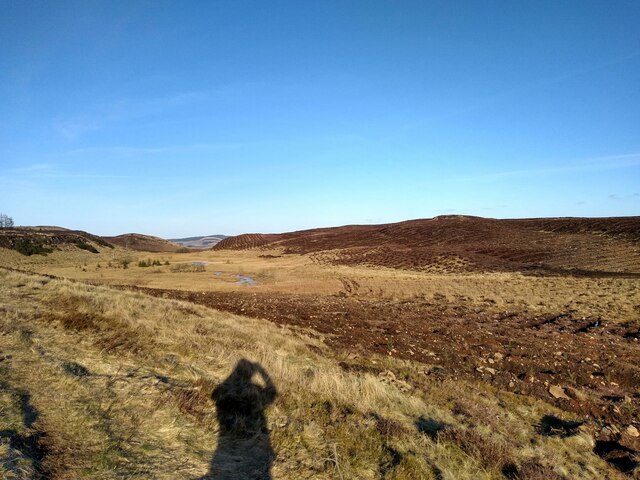
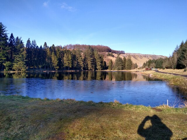
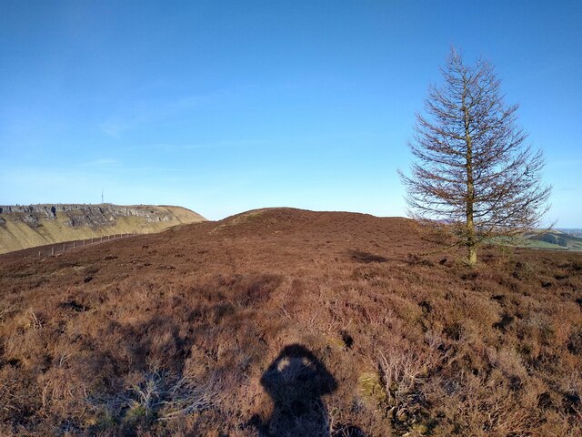
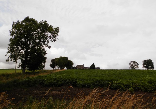
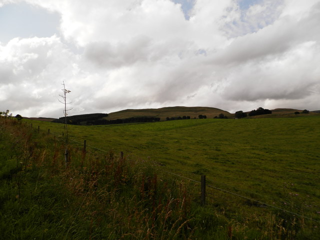
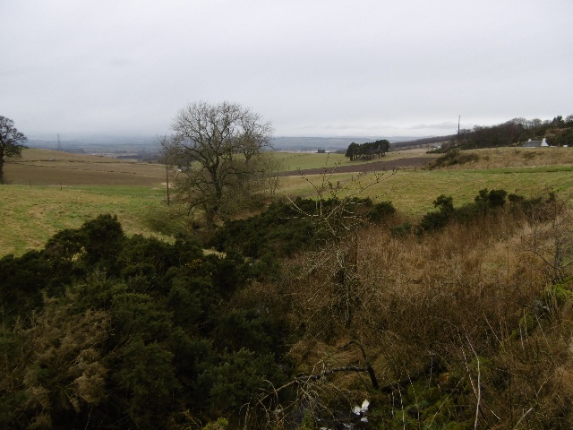
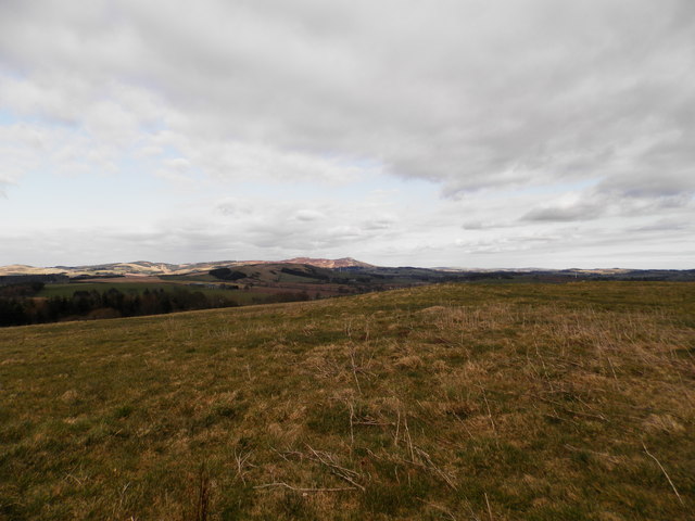
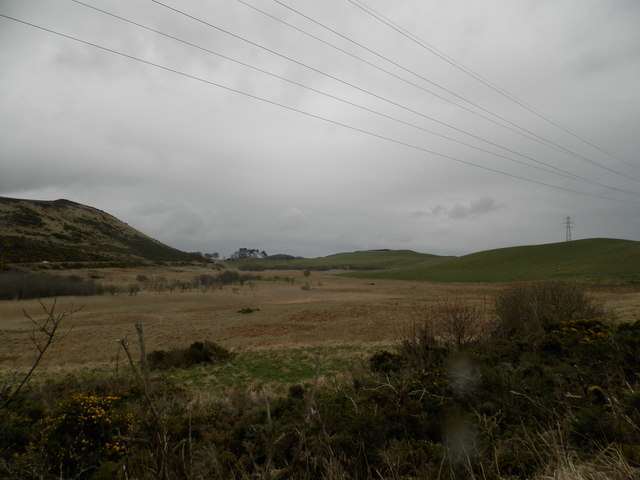
Ardgarth Hill is a prominent landmark located in the county of Angus, Scotland. Standing at an elevation of 345 meters (1,132 feet), it is classified as a hill rather than a mountain. As part of the Sidlaw Hills range, Ardgarth Hill offers stunning panoramic views of the surrounding countryside.

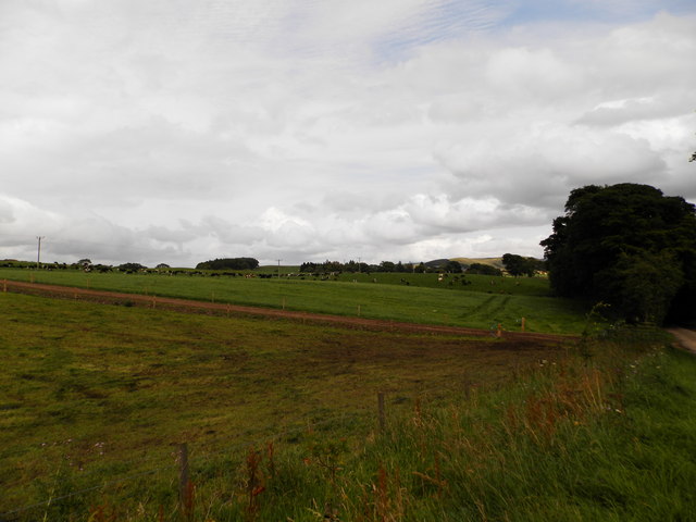
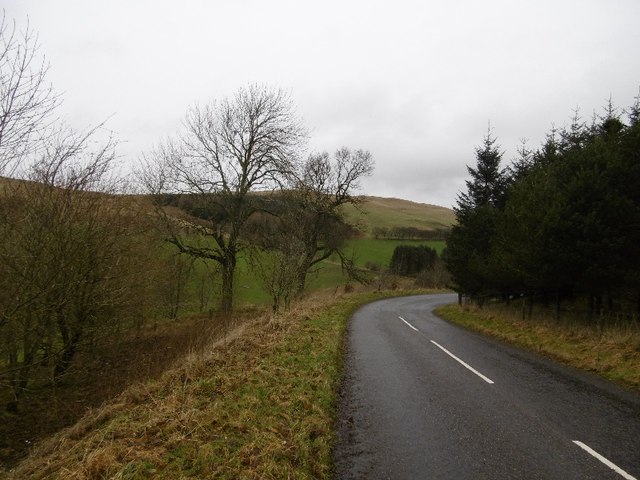
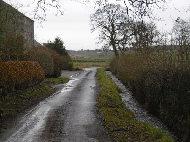
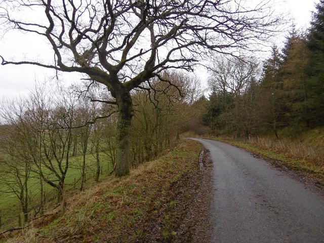
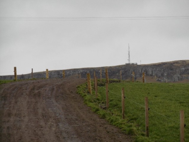
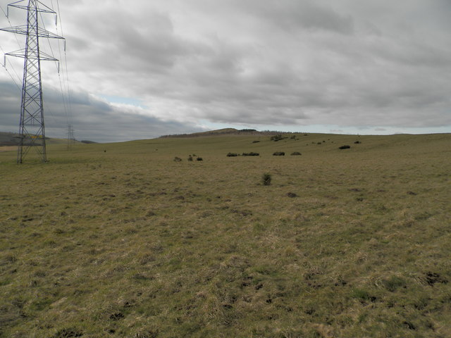
The hill is characterized by its gently sloping terrain, covered in lush green grass and scattered patches of heather. It is easily accessible to hikers and nature enthusiasts, attracting visitors from both nearby towns and further afield.

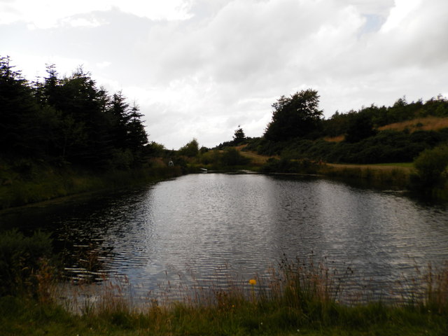
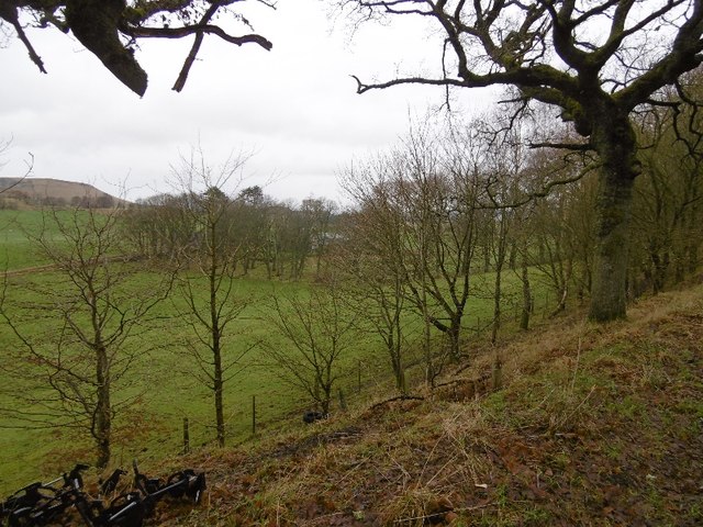
Ardgarth Hill is home to a diverse range of flora and fauna, with heather, gorse, and bracken dominating the landscape. Birdwatchers may spot a variety of avian species, including buzzards, kestrels, and lapwings, while the occasional deer may be seen grazing on the hillside.

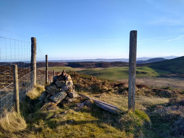
A network of well-maintained footpaths crisscross the hill, catering to walkers of all abilities. The popular Ardgarth Hill Loop is a circular route that offers a moderate challenge, taking hikers through woodlands, open fields, and up to the summit for breathtaking views. The hill also serves as a starting point for longer hikes, such as the Sidlaw Hills Trail, which traverses the entire range.

History buffs may find interest in Ardgarth Hill's past, as remnants of ancient settlements and prehistoric burial sites have been discovered in the vicinity. These archaeological finds provide a glimpse into the area's rich cultural heritage.

Overall, Ardgarth Hill offers a picturesque outdoor experience, combining natural beauty, wildlife encounters, and historical intrigue, making it a must-visit destination for those exploring Angus.

If you have any feedback on the listing, please let us know in the comments section below.

Ardgarth Hill Images

Images are sourced within 2km of 56.521342/-3.175226 or Grid Reference NO2737. Thanks to Geograph Open Source API. All images are credited.

Smith Loch and Smithton Hill Most of this square is a newly planted conifer plantation, broken up by heathery moorland. The swampy area of Smith Loch is the most prominent 'feature' in the landscape. Hard going.
Smith Loch and Smithton Hill
Most of this square is a newly planted conifer plantation, broken up by heathery moorland. The swampy area of Smith Loch is the most prominent 'feature' in the landscape. Hard going.
Tullybaccart viewpoint This small cairn marks the highest point of the land around the Tullybaccart quarry. The point is surrounded mostly by tree plantations. This is the view towards the south into Fife - the Lomond hills on the horizon on the right.
Tullybaccart viewpoint
This small cairn marks the highest point of the land around the Tullybaccart quarry. The point is surrounded mostly by tree plantations. This is the view towards the south into Fife - the Lomond hills on the horizon on the right.
Ledcrieff Loch The loch seen from the dam at its western edge.
Ledcrieff Loch
The loch seen from the dam at its western edge.
Ardgarth Hill The ridge next to Lundie Craigs is less rock, more heather, and only some isolated trees.
Ardgarth Hill
The ridge next to Lundie Craigs is less rock, more heather, and only some isolated trees.
Farmland at Kirkton of Lundie
Farmland near the village of Lundie
Upland farming near Lundie
Children's pond at Ledyatt
Tullybachart A view down the Kettins Burn, or what will become the Kettins Burn from the farm driveway.
Tullybachart
A view down the Kettins Burn, or what will become the Kettins Burn from the farm driveway.
Old alignment, A923 The road was rebuilt taking out this bend sometime before 1959 according to old maps. Now this is a yellow road down to Lundie.
Old alignment, A923
The road was rebuilt taking out this bend sometime before 1959 according to old maps. Now this is a yellow road down to Lundie.
Lundie Road out of Lundie.
Lundie
Road out of Lundie.
Wooded roadside, Balshando Below a road into Lundie, the road is on an old alignment (pre 1959) of the A923.
Wooded roadside, Balshando
Below a road into Lundie, the road is on an old alignment (pre 1959) of the A923.
Minor road near Lundie This road was once the A923 before it was rebuilt further up the hill on the right.
Minor road near Lundie
This road was once the A923 before it was rebuilt further up the hill on the right.
Cow path near Lundie Lundie Craigs in the background.
Cow path near Lundie
Lundie Craigs in the background.
Road to Lundie From the west.
Road to Lundie
From the west.
Pylons and farmland by Ledyatt Wood
Rough grazing near Ledyatt Loch
Lochindores, Tullybaccart
Show me another place!

Ardgarth Hill is located at Grid Ref: NO2737 (Lat: 56.521342, Lng: -3.175226)

Unitary Authority: Angus

Police Authority: Tayside

What 3 Words

///monorail.touches.storms. Near Coupar Angus, Perth & Kinross

Related Wikis

Nearby Amenities

Located within 500m of 56.521342,-3.175226
Ardgarth Hill
Ele: 320
Natural: peak
Lat/Long: 56.5214125/-3.1751914
Power: pole
Lat/Long: 56.525116/-3.1727706
Power: pole
Lat/Long: 56.5248165/-3.1744507
Power: pole
Lat/Long: 56.5245128/-3.1761463
Power: pole
Lat/Long: 56.5242274/-3.1777675
Power: pole
Lat/Long: 56.5237909/-3.1791634
Power: pole
Lat/Long: 56.523312/-3.1806668
Power: pole
Lat/Long: 56.5229009/-3.1819833
Power: pole
Lat/Long: 56.5224092/-3.1830743
Power: pole
Lat/Long: 56.5209357/-3.1672742
The data included in this document is from www.openstreetmap.org. The data is made available under ODbL.

Have you been to Ardgarth Hill?

Leave your review of Ardgarth Hill below (or comments, questions and feedback).