Ledcrieff Loch
Lake, Pool, Pond, Freshwater Marsh in Angus
Scotland
Ledcrieff Loch
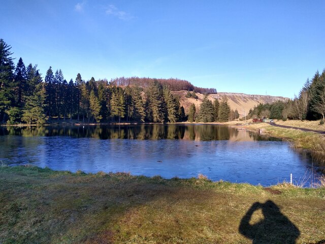
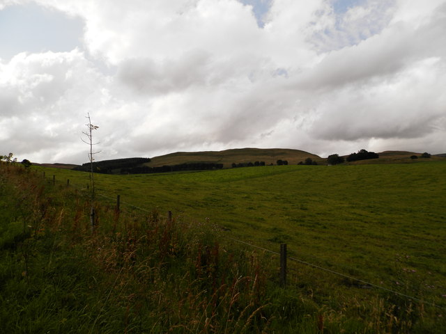
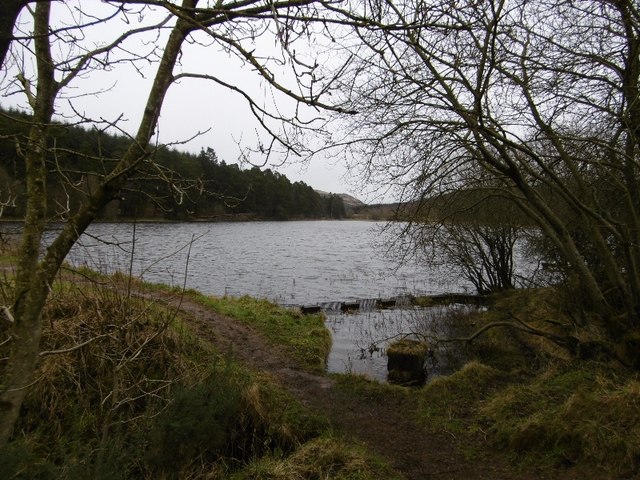
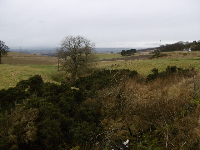
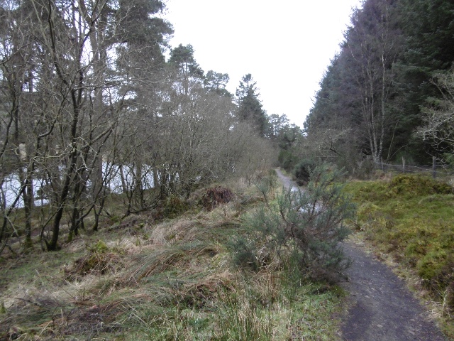
Ledcrieff Loch is a picturesque freshwater loch located in Angus, Scotland. Spanning an area of approximately 20 acres, it is nestled amidst the beautiful rolling countryside. The loch is situated near the village of Glamis and is a popular destination for both locals and tourists seeking tranquility and natural beauty.
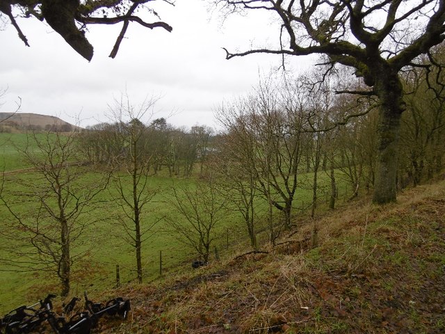
Surrounded by lush greenery and wildlife, Ledcrieff Loch serves as a haven for a wide range of flora and fauna. The rich biodiversity of the area includes various species of birds, such as herons, ducks, and swans, which can often be seen gliding gracefully across the calm waters. The loch is also home to a variety of fish, including brown trout, which attract fishing enthusiasts from far and wide.
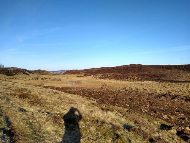
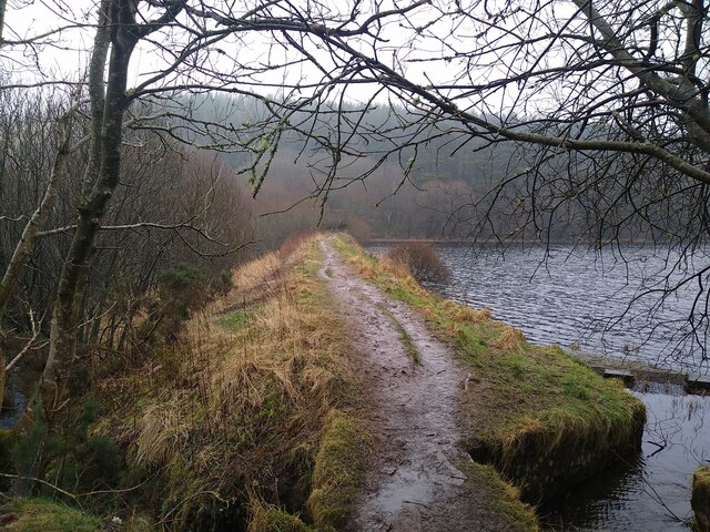
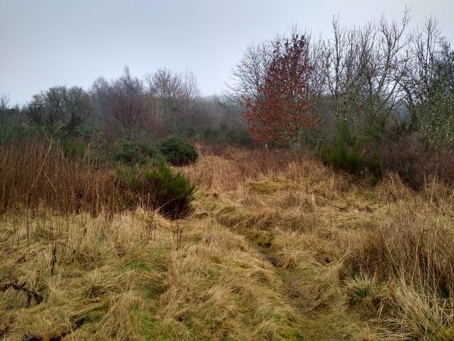
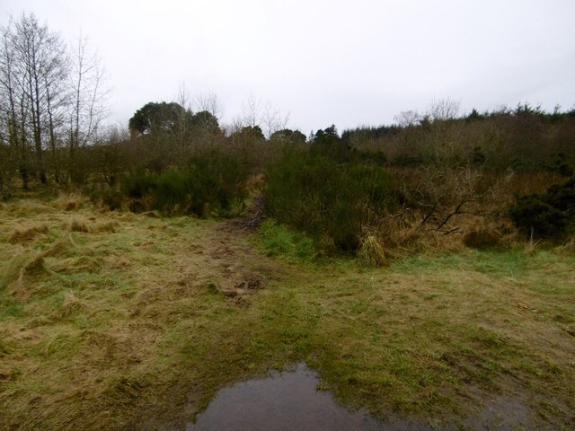
The loch itself features a diverse landscape, with areas of open water, reed beds, and marshland. This combination creates a unique habitat for a multitude of plant species, including water lilies and reeds, which thrive in the freshwater environment.
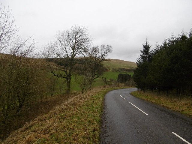
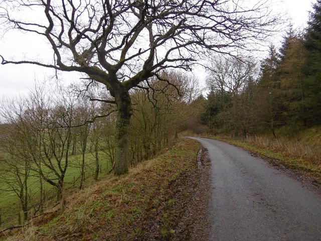
Visitors to Ledcrieff Loch can enjoy a range of recreational activities. Fishing is a popular pastime, with permits available for purchase to catch trout during designated seasons. The tranquil surroundings also make it an ideal spot for picnicking, nature walks, and birdwatching, with several designated viewpoints and walking trails for visitors to explore.
Ledcrieff Loch offers a serene and idyllic setting, allowing visitors to unwind and connect with nature. Its natural beauty and diverse ecosystem make it a cherished location for both locals and visitors to Angus.
If you have any feedback on the listing, please let us know in the comments section below.
Ledcrieff Loch Images
Images are sourced within 2km of 56.520476/-3.187796 or Grid Reference NO2737. Thanks to Geograph Open Source API. All images are credited.

Ledcrieff Loch is located at Grid Ref: NO2737 (Lat: 56.520476, Lng: -3.187796)
Unitary Authority: Angus
Police Authority: Tayside
What 3 Words
///noises.headboard.asking. Near Coupar Angus, Perth & Kinross
Nearby Locations
Related Wikis

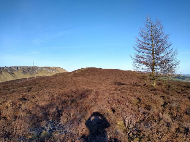
Lundie Craigs
Lundie Craigs/Westerkeith Hill is one of the hills of the Sidlaw range in South East Perthshire.Lundie Craigs/Westerkeith Hill is located near Coupar Angus...

Pitcur
Pitcur is a hamlet at the eastern edge of Perth and Kinross, Scotland, about 2.5 miles (4.0 km) southeast of Coupar Angus.It is home to the ruined 16th...

Lundie Kirk
Lundie Kirk was the parish church of Lundie, Angus, in Scotland from the 12th century until 2017. The church was constructed in Romanesque style in the...
Lundie
Lundie is a parish and small settlement in Angus, Scotland, 10 miles (16 km) northwest of Dundee, situated at the head of the Dighty valley in the Sidlaws...

Long Loch (Angus)
Long Loch is a small lowland freshwater loch within the Sidlaw Hills in Angus. It is 1.8 miles south of the village of Newtyle, three miles east-south...

Northballo Hill
Northballo Hill is one of the hills of the Sidlaw range in South East Perthshire, and is located near Coupar Angus. It is popular with dog walkers and...

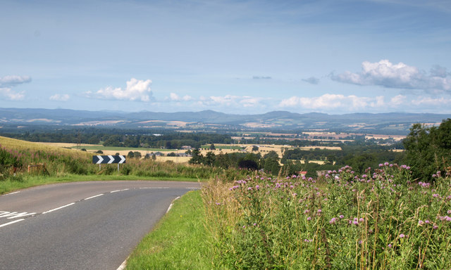
Sidlaws
The Sidlaws are a range of hills in the counties of Perthshire and Angus in Scotland that extend for 30 miles (45 km) from Kinnoull Hill, near Perth, northeast...

Pitlyal Loch
Pitlyal Loch also known as Round Loch is a small lochan in Sidlaw Hills in Angus. It is located southeast of Long Loch and is almost directly south of...
Nearby Amenities
Located within 500m of 56.520476,-3.187796Have you been to Ledcrieff Loch?
Leave your review of Ledcrieff Loch below (or comments, questions and feedback).