Lundiecraigs Wood

Wood, Forest in Angus

Scotland

Lundiecraigs Wood

Smith Loch and Smithton Hill Most of this square is a newly planted conifer plantation, broken up by heathery moorland. The swampy area of Smith Loch is the most prominent 'feature' in the landscape. Hard going.
Smith Loch and Smithton Hill Credit: Aleks Scholz

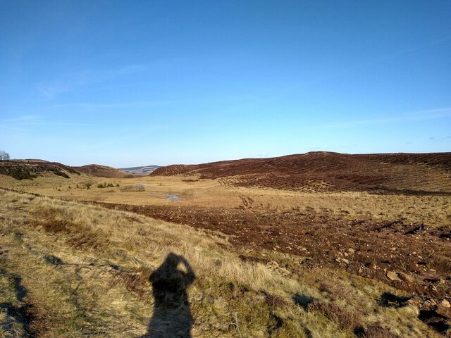
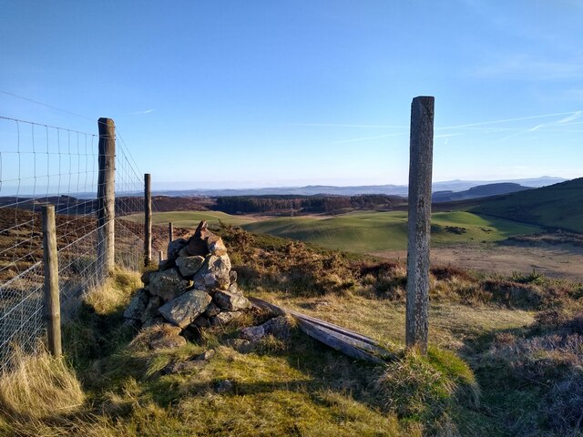
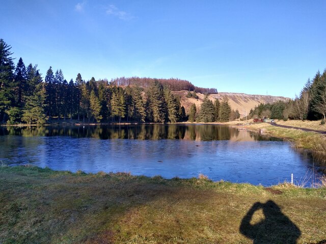
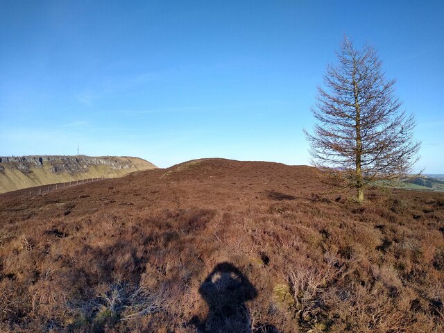
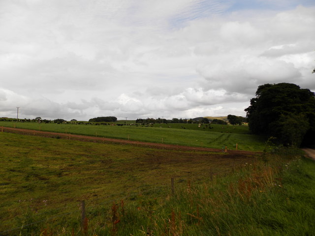
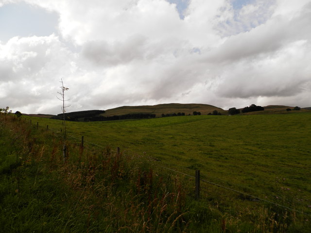
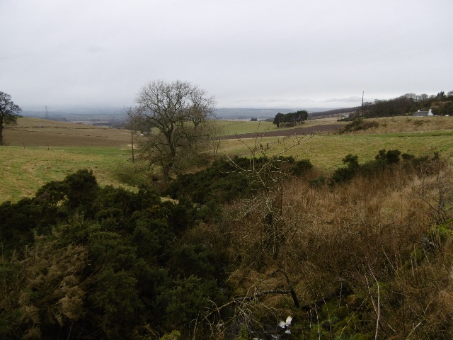
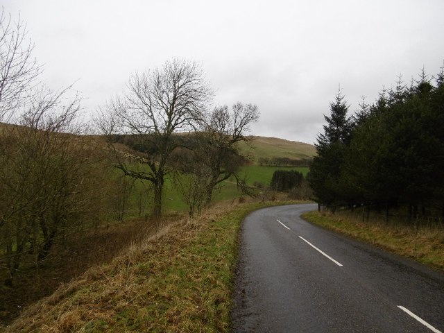
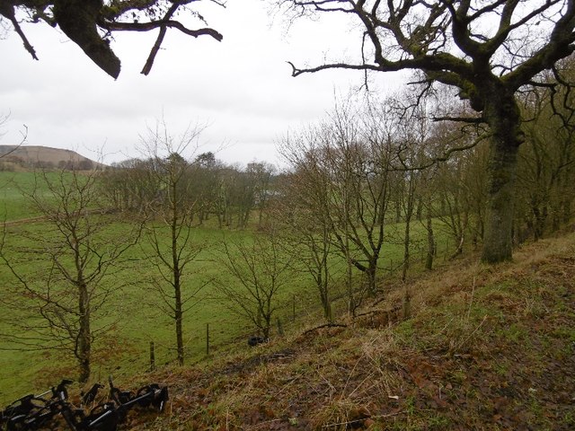
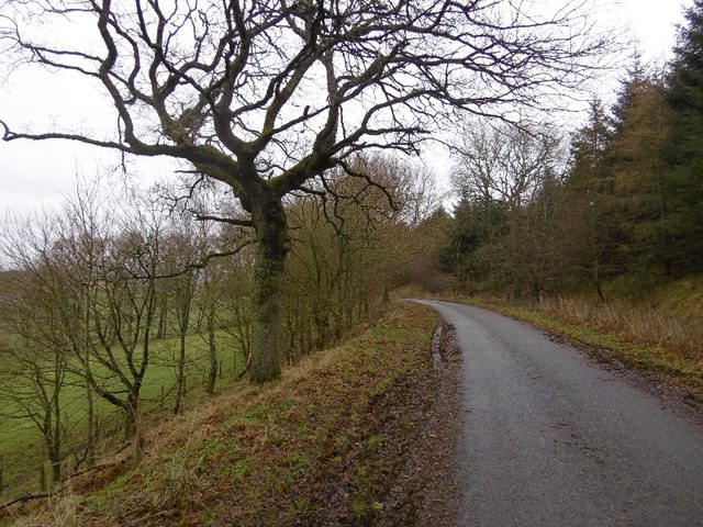
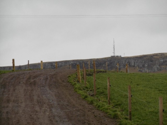
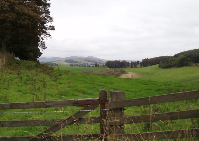
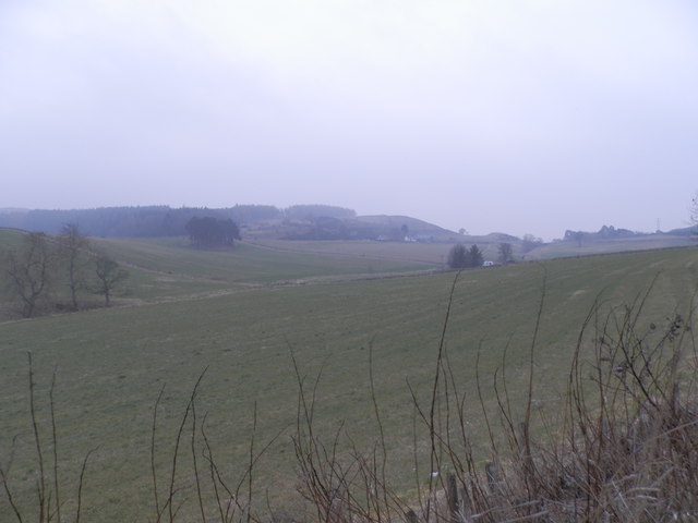
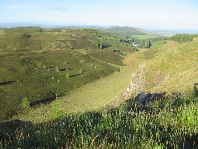
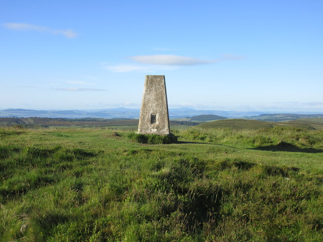
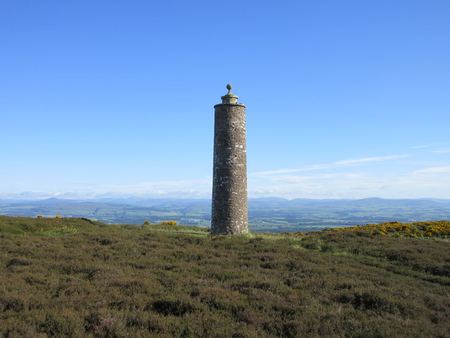
Lundiecraigs Wood is a picturesque forest located in the Angus region of Scotland. Covering an area of approximately 500 hectares, it is a popular destination for nature lovers, hikers, and bird watchers. The wood is situated on the southern slopes of a hill, offering stunning panoramic views of the surrounding countryside.

The woodland is predominantly composed of native broadleaf trees, such as oak, beech, and birch, creating a diverse and rich habitat for various wildlife species. Visitors can enjoy peaceful walks along the well-maintained trails, immersing themselves in the tranquil setting and appreciating the natural beauty of the wood.

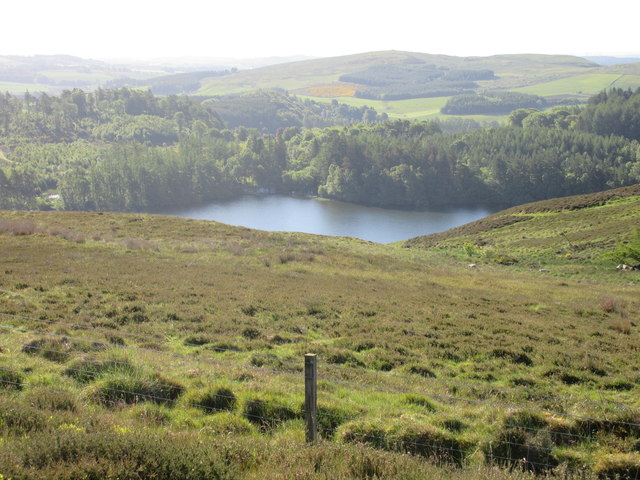
Lundiecraigs Wood is also renowned for its birdlife, attracting both local and migratory species. Ornithologists can spot a wide range of birds, including woodpeckers, owls, and various songbirds. The wood's location near open farmland and wetland areas further enhances its appeal for birdwatching enthusiasts.

In addition to its natural beauty, the wood has historical significance as well. It is believed that Lundiecraigs Wood was once part of the hunting grounds used by Scottish kings, dating back to medieval times. Today, remnants of old hunting lodges and deer parks can still be found within the forest, adding an intriguing historical dimension to the area.

Overall, Lundiecraigs Wood offers a perfect retreat for those seeking tranquility, stunning views, and an opportunity to connect with nature. Whether exploring the woodland trails, observing the diverse birdlife, or delving into its historical past, visitors are sure to be captivated by the charm and allure of this beautiful forest in Angus.

If you have any feedback on the listing, please let us know in the comments section below.

Lundiecraigs Wood Images

Images are sourced within 2km of 56.52567/-3.1820576 or Grid Reference NO2737. Thanks to Geograph Open Source API. All images are credited.

Smith Loch and Smithton Hill Most of this square is a newly planted conifer plantation, broken up by heathery moorland. The swampy area of Smith Loch is the most prominent 'feature' in the landscape. Hard going.
Smith Loch and Smithton Hill
Most of this square is a newly planted conifer plantation, broken up by heathery moorland. The swampy area of Smith Loch is the most prominent 'feature' in the landscape. Hard going.
Tullybaccart viewpoint This small cairn marks the highest point of the land around the Tullybaccart quarry. The point is surrounded mostly by tree plantations. This is the view towards the south into Fife - the Lomond hills on the horizon on the right.
Tullybaccart viewpoint
This small cairn marks the highest point of the land around the Tullybaccart quarry. The point is surrounded mostly by tree plantations. This is the view towards the south into Fife - the Lomond hills on the horizon on the right.
Ledcrieff Loch The loch seen from the dam at its western edge.
Ledcrieff Loch
The loch seen from the dam at its western edge.
Ardgarth Hill The ridge next to Lundie Craigs is less rock, more heather, and only some isolated trees.
Ardgarth Hill
The ridge next to Lundie Craigs is less rock, more heather, and only some isolated trees.
Farmland near the village of Lundie
Upland farming near Lundie
Tullybachart A view down the Kettins Burn, or what will become the Kettins Burn from the farm driveway.
Tullybachart
A view down the Kettins Burn, or what will become the Kettins Burn from the farm driveway.
Old alignment, A923 The road was rebuilt taking out this bend sometime before 1959 according to old maps. Now this is a yellow road down to Lundie.
Old alignment, A923
The road was rebuilt taking out this bend sometime before 1959 according to old maps. Now this is a yellow road down to Lundie.
Wooded roadside, Balshando Below a road into Lundie, the road is on an old alignment (pre 1959) of the A923.
Wooded roadside, Balshando
Below a road into Lundie, the road is on an old alignment (pre 1959) of the A923.
Minor road near Lundie This road was once the A923 before it was rebuilt further up the hill on the right.
Minor road near Lundie
This road was once the A923 before it was rebuilt further up the hill on the right.
Cow path near Lundie Lundie Craigs in the background.
Cow path near Lundie
Lundie Craigs in the background.
Field at Lochindores
Field at Tullybaccart
From the top of Lundie Craigs Looking down from the top of Lundie Craigs near the antenna.
From the top of Lundie Craigs
Looking down from the top of Lundie Craigs near the antenna.
Westerkeith Hill Trig Pillar The triangulation pillar on Westerkeith Hill with the Lomond Hills in Fife in the background.
Westerkeith Hill Trig Pillar
The triangulation pillar on Westerkeith Hill with the Lomond Hills in Fife in the background.
The edge of Drumsuldry Wood The last few trees on the eastern edge of Drumsuldry Wood viewed from the track heading towards Keillor Hill.
The edge of Drumsuldry Wood
The last few trees on the eastern edge of Drumsuldry Wood viewed from the track heading towards Keillor Hill.
Long Loch from Keillor Hill Part of Long Loch viewed from Keillor Hill to the north-west.
Long Loch from Keillor Hill
Part of Long Loch viewed from Keillor Hill to the north-west.
Mackenzie Meridian (Privy's Prap) Privy's Prap monument, with Strathmore and the mountains beyond.
Mackenzie Meridian (Privy's Prap)
Privy's Prap monument, with Strathmore and the mountains beyond.
Show me another place!

Lundiecraigs Wood is located at Grid Ref: NO2737 (Lat: 56.52567, Lng: -3.1820576)

Unitary Authority: Perth and Kinross

Police Authority: Tayside

What 3 Words

///acute.treaties.situation. Near Coupar Angus, Perth & Kinross

Related Wikis

Lundie Craigs

Lundie Craigs/Westerkeith Hill is one of the hills of the Sidlaw range in South East Perthshire.Lundie Craigs/Westerkeith Hill is located near Coupar Angus...

Long Loch (Angus)

Long Loch is a small lowland freshwater loch within the Sidlaw Hills in Angus. It is 1.8 miles south of the village of Newtyle, three miles east-south...

Lundie Kirk

Lundie Kirk was the parish church of Lundie, Angus, in Scotland from the 12th century until 2017. The church was constructed in Romanesque style in the...

Lundie

Lundie is a parish and small settlement in Angus, Scotland, 10 miles (16 km) northwest of Dundee, situated at the head of the Dighty valley in the Sidlaws...

Pitcur

Pitcur is a hamlet at the eastern edge of Perth and Kinross, Scotland, about 2.5 miles (4.0 km) southeast of Coupar Angus.It is home to the ruined 16th...

Pitlyal Loch

Pitlyal Loch also known as Round Loch is a small lochan in Sidlaw Hills in Angus. It is located southeast of Long Loch and is almost directly south of...

Sidlaws

The Sidlaws are a range of hills in the counties of Perthshire and Angus in Scotland that extend for 30 miles (45 km) from Kinnoull Hill, near Perth, northeast...

Kinpurnie Castle

Kinpurnie Castle is a stately home located 12 miles (19 km) west of Dundee, close to Newtyle, near Blairgowrie, Angus in Scotland. The Kinpurnie estate...

Nearby Amenities

Located within 500m of 56.52567,-3.1820576
Power: pole
Lat/Long: 56.5248165/-3.1744507
Power: pole
Lat/Long: 56.5245128/-3.1761463
Power: pole
Lat/Long: 56.5242274/-3.1777675
Power: pole
Lat/Long: 56.5237909/-3.1791634
Power: pole
Lat/Long: 56.523312/-3.1806668
Power: pole
Lat/Long: 56.5229009/-3.1819833
Power: pole
Lat/Long: 56.5224092/-3.1830743
Power: pole
Lat/Long: 56.5219698/-3.1840579
The data included in this document is from www.openstreetmap.org. The data is made available under ODbL.

Have you been to Lundiecraigs Wood?

Leave your review of Lundiecraigs Wood below (or comments, questions and feedback).