Ramseycleuch Hill
Hill, Mountain in Selkirkshire
Scotland
Ramseycleuch Hill
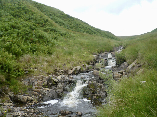
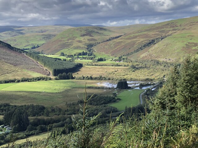
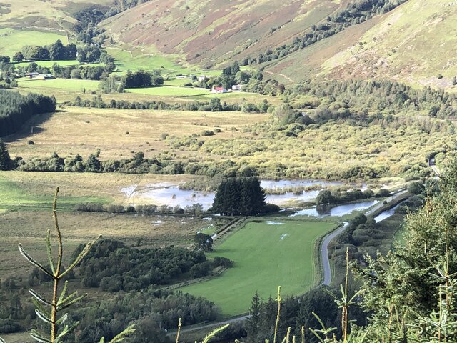
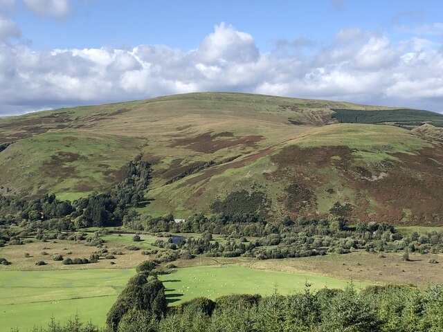
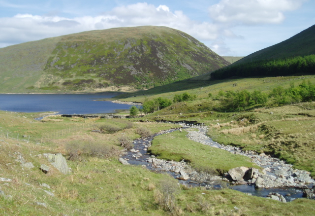
Ramseycleuch Hill is a prominent hill located in Selkirkshire, Scotland. Situated in the Southern Uplands, it stands at an elevation of approximately 430 meters (1,410 feet) above sea level. The hill is part of a range known as the Ettrick Hills, which also includes neighboring peaks such as Dun Law and Capel Fell.
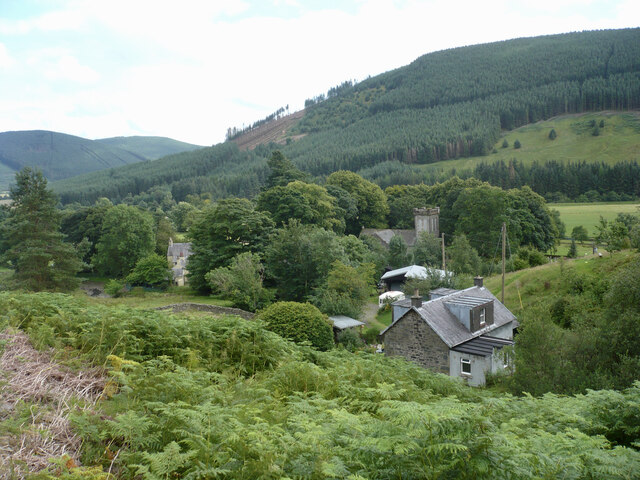
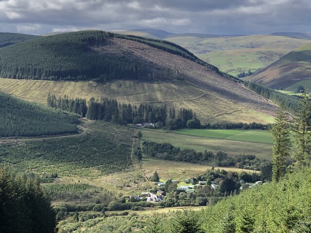
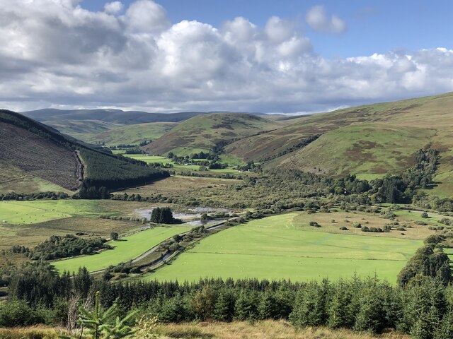
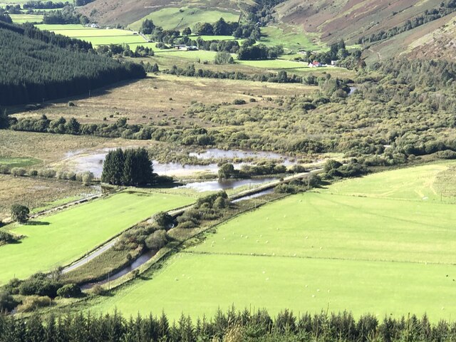
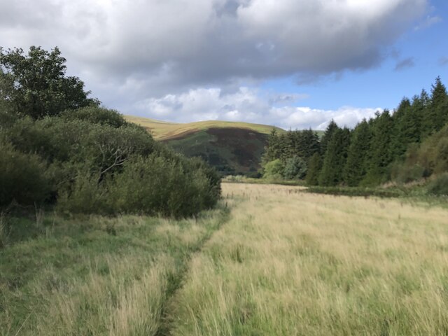
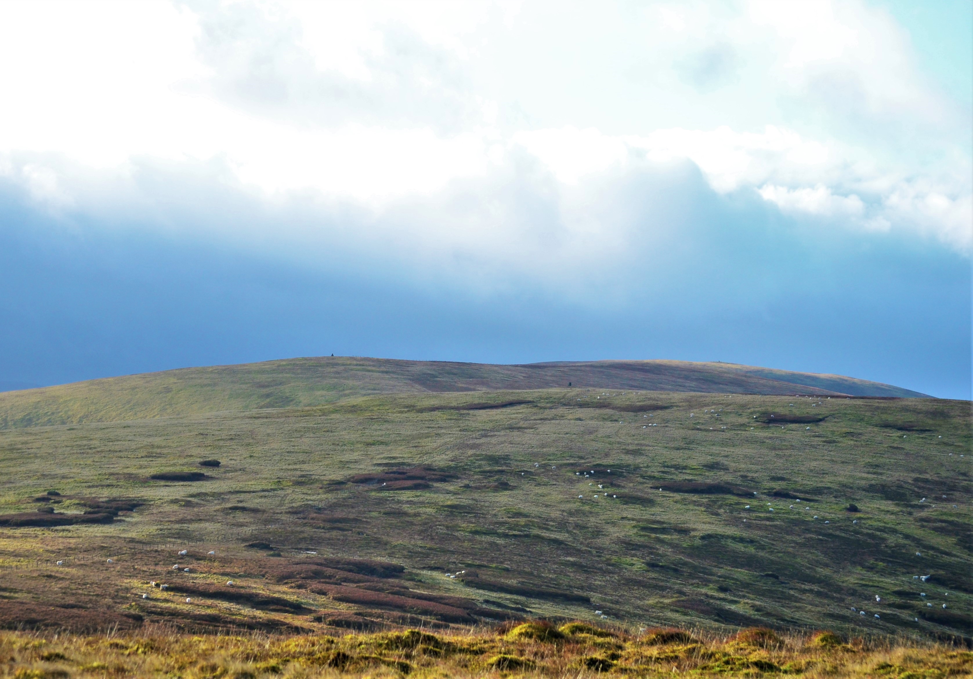
Ramseycleuch Hill is easily recognizable due to its distinctive conical shape, making it a notable feature in the surrounding landscape. It is primarily covered in heather and grass, offering a picturesque view of the rolling countryside. The hill provides a habitat for various wildlife species, including birds, rabbits, and deer.
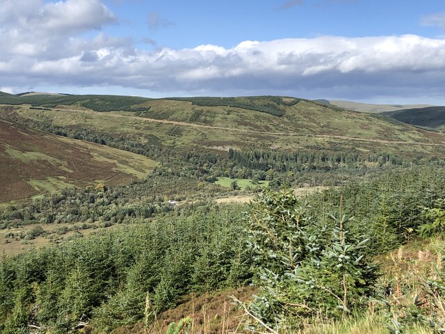
Reaching the summit of Ramseycleuch Hill requires a moderate level of fitness and a decent amount of hiking experience. There are several paths and routes that lead to the top, offering different levels of difficulty and scenery. While the ascent can be challenging at times, the rewarding panoramic views from the summit make it a popular destination for outdoor enthusiasts and nature lovers.
Ramseycleuch Hill is also steeped in history, with evidence of ancient settlements and prehistoric sites in the vicinity. The hill presents an opportunity for archaeological exploration and research, as well as an appreciation of the historical significance of the area.
Overall, Ramseycleuch Hill is an enchanting natural landmark, combining rugged beauty with a rich historical backdrop. Its accessibility, stunning vistas, and diverse wildlife make it a must-visit destination for those who appreciate the outdoors and seek to immerse themselves in the Scottish countryside.
If you have any feedback on the listing, please let us know in the comments section below.
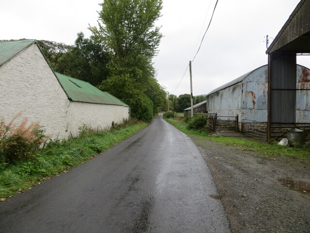
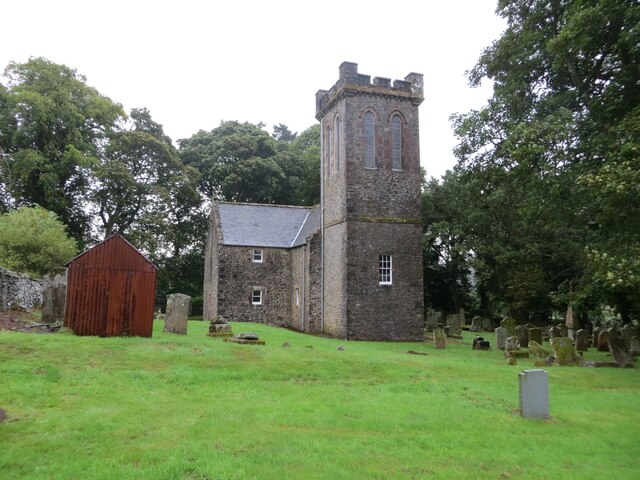
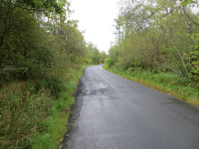
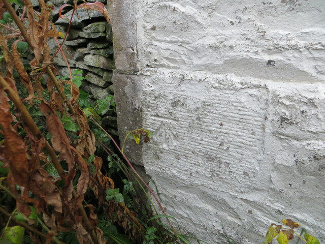
Ramseycleuch Hill Images
Images are sourced within 2km of 55.426149/-3.1492057 or Grid Reference NT2715. Thanks to Geograph Open Source API. All images are credited.
Ramseycleuch Hill is located at Grid Ref: NT2715 (Lat: 55.426149, Lng: -3.1492057)
Unitary Authority: The Scottish Borders
Police Authority: The Lothians and Scottish Borders
What 3 Words
///wriggled.bespoke.plotted. Near Ettrick, Scottish Borders
Nearby Locations
Related Wikis
Ettrick, Scotland
Ettrick (Scottish Gaelic: Eadaraig, IPA: [ˈet̪əɾɪkʲ]) is a small village and civil parish in the Scottish Borders area of Scotland. It is located on the...

Tushielaw Tower
Tushielaw Tower is a 16th-century tower house, about 2.5 miles (4.0 km) north and east of Ettrick, Scottish Borders, Scotland, and west of Ettrick Water...
Buccleuch, Scottish Borders
East and West Buccleuch ( bə-KLOO) are two homesteads in the Scottish Borders, in the Ettrick parish of historic Selkirkshire. They are located off the...
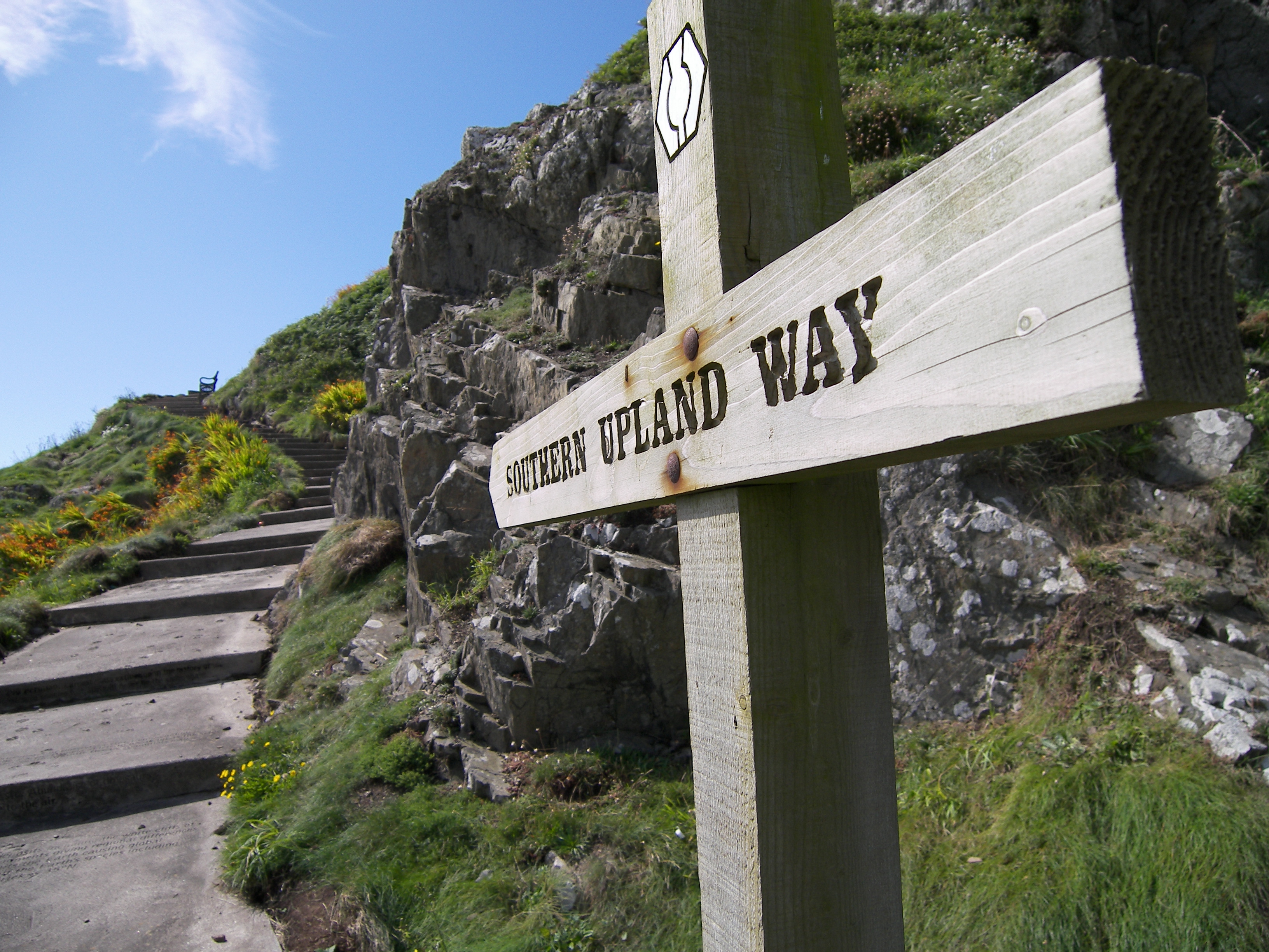
Southern Upland Way
The Southern Upland Way is a 344-kilometre (214 mi) coast-to-coast long-distance footpath in southern Scotland. The route links Portpatrick in the west...
Bowerhope
Bowerhope is a village off the A708, in the Scottish Borders area of Scotland, on the banks of St Mary's Loch in Ettrick Forest. == See also == List of...

Dob's Linn
Dob's Linn is a small steep valley in Dumfries and Galloway, just north of the A708 road between Moffat and Selkirk, in Scotland. It is part of the Grey...
Andrewhinney Hill
Andrewhinney Hill is a hill in the Ettrick Hills range, part of the Southern Uplands of Scotland. It is the highest summit of a ridge that runs parallel...
Megget Water
Megget Water is a river in the parish of Yarrow, Selkirkshire in the Scottish Borders area of Scotland. The Water rises at Broad Law (2,760 ft), passes...
Have you been to Ramseycleuch Hill?
Leave your review of Ramseycleuch Hill below (or comments, questions and feedback).