Llynclys Hill

Hill, Mountain in Shropshire

England

Llynclys Hill

Track near Treflach A quiet sheltered little lane, ideal walking on a Spring morning.
Track near Treflach Credit: Jeremy Bolwell

Llynclys Hill is a prominent hill located in Shropshire, England. Situated near the village of Llynclys, it is a well-known landmark in the region known for its beautiful scenery and historical significance.

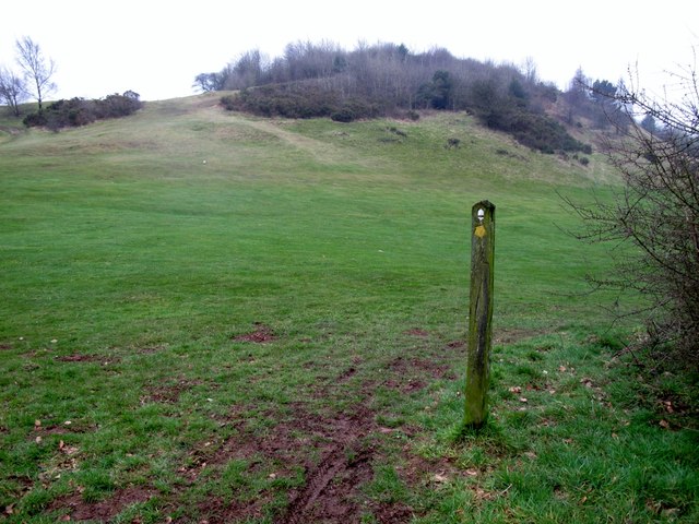
Rising to a height of approximately 267 meters (876 feet), Llynclys Hill offers stunning panoramic views of the surrounding countryside. It is part of the wider Shropshire Hills Area of Outstanding Natural Beauty, which is renowned for its diverse wildlife, rolling hills, and charming landscapes.

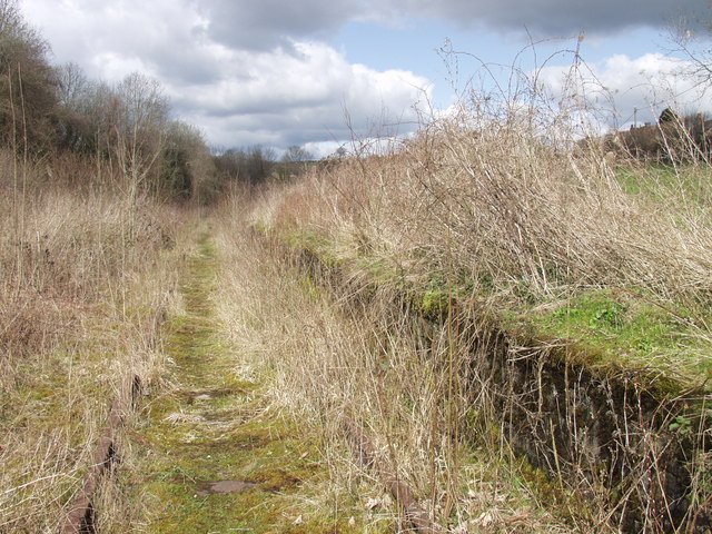
The hill is composed of sandstone and is known for its distinctive reddish hue, particularly during sunset. It is popular among hikers and nature enthusiasts who are drawn to its tranquil atmosphere and the opportunity to explore the surrounding woodlands and meadows.

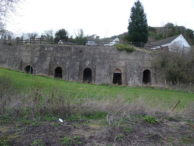
Llynclys Hill also holds historical significance as it is home to the remains of a Roman fort, which dates back to the 1st century AD. The fort served as an important strategic outpost along the Roman road known as Watling Street, which connected the settlements of Wroxeter and Chester. Today, visitors can still see the remnants of the fort's defensive walls and ditches, providing a glimpse into the area's rich past.

Overall, Llynclys Hill is a picturesque and historically significant landmark in Shropshire, offering visitors the chance to enjoy the natural beauty of the surrounding countryside while exploring its fascinating Roman heritage.

If you have any feedback on the listing, please let us know in the comments section below.

Llynclys Hill Images

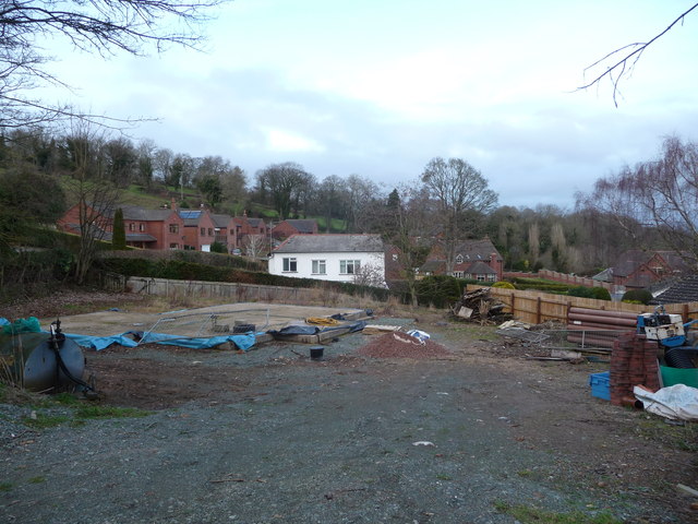
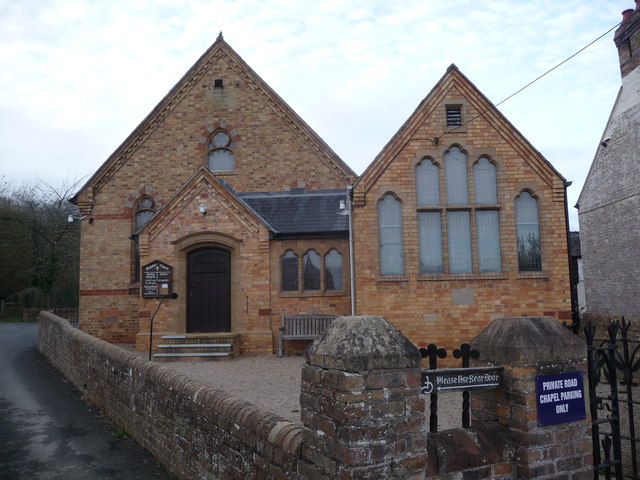
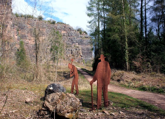
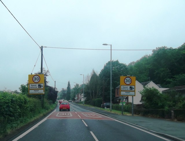
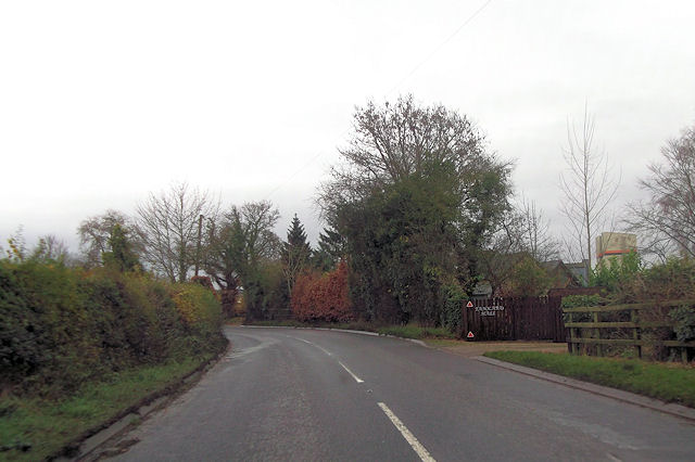
Images are sourced within 2km of 52.805804/-3.0790829 or Grid Reference SJ2723. Thanks to Geograph Open Source API. All images are credited.

Track near Treflach A quiet sheltered little lane, ideal walking on a Spring morning.
Track near Treflach
A quiet sheltered little lane, ideal walking on a Spring morning.
Spring flowers in the lane The warm March sunshine is bringing the verges and hedgerows to life at last.
Spring flowers in the lane
The warm March sunshine is bringing the verges and hedgerows to life at last.
Llynclys Crossroads entrance sign
Path junction above Blodwel Rock Offa's Dyke Path climbs up Blodwel Rock here and then heads off south (left) towards Llanymynech.
Path junction above Blodwel Rock
Offa's Dyke Path climbs up Blodwel Rock here and then heads off south (left) towards Llanymynech.
Building plot in Pant A house going in and soon up in Pant village.
Building plot in Pant
A house going in and soon up in Pant village.
Primitive Methodist chapel in Pant Dating from the 1860's and looking in a fine state of repair etc.
Primitive Methodist chapel in Pant
Dating from the 1860's and looking in a fine state of repair etc.
Old lime kilns in Pant near the canal This area is very rich in industrial heritage.
Old lime kilns in Pant near the canal
This area is very rich in industrial heritage.
Bridge 90 in Pant The disused canal can be walked along from here.
Bridge 90 in Pant
The disused canal can be walked along from here.
Metal Workers, Llanymynech Quarry At various places around the quarry trail they've put sheet metal cutouts of workmen doing their respective jobs. 
Somehow the hats make them look more American than Welsh, but you get the idea.
Metal Workers, Llanymynech Quarry
At various places around the quarry trail they've put sheet metal cutouts of workmen doing their respective jobs. Somehow the hats make them look more American than Welsh, but you get the idea.
Cliffs at Llanymynech Quarry Just a part of this large disused limestone quarry.
Info on <span class="nowrap"><a title="http://www.llanymynech.org.uk/html/1d_history.html" rel="nofollow ugc noopener" href="http://www.llanymynech.org.uk/html/1d_history.html">Link</a><img style="margin-left:2px;" alt="External link" title="External link - shift click to open in new window" src="https://s1.geograph.org.uk/img/external.png" width="10" height="10"/></span>
Cliffs at Llanymynech Quarry
Just a part of this large disused limestone quarry. Info on LinkExternal link
Entering Pant
Entering Pant
B4396 west of Moreton Crossroads Crossroads can be seen by house ahead
B4396 west of Moreton Crossroads
Crossroads can be seen by house ahead
Minor road to Crickheath from B4396
Entrance to Tankard Hall from B4396
A483 at Greystones Court
A483 near Tycoch Farm
A483 at Llynclys Hall Farm
Llanymynech Hill A 9 am start but course already full of golfers. Trig bagged then circumnavigation of brambles and gorse to get near to top while smiling at a few foursomes.
Name: Llanymynech Hill
Hill number: 5187
Height: 226m / 741ft
Area: 30E: Bala to Welshpool
Class: Hu
Grid ref: SJ263221 (est)
Drop: 124m
Col: 102m  SJ271242
Llanymynech Hill
A 9 am start but course already full of golfers. Trig bagged then circumnavigation of brambles and gorse to get near to top while smiling at a few foursomes. Name: Llanymynech Hill Hill number: 5187 Height: 226m / 741ft Area: 30E: Bala to Welshpool Class: Hu Grid ref: SJ263221 (est) Drop: 124m Col: 102m SJ271242
Show me another place!

Llynclys Hill is located at Grid Ref: SJ2723 (Lat: 52.805804, Lng: -3.0790829)

Unitary Authority: Shropshire

Police Authority: West Mercia

What 3 Words

///daredevil.oatmeal.pricier. Near Pant, Shropshire

Related Wikis

Porthywaen Halt railway station

Porthywaen Halt railway station was a station in Porth-y-waen, Shropshire, England, on the Tanat Valley Railway and the Potteries, Shrewsbury and North...

Penygarreg Lane Halt railway station

Penygarreg Lane (or "Pen-y-garreg Lane") is a halt on the Cambrian Heritage Railways' line in Shropshire. It is on the northern edge of the village of...

Cambrian Heritage Railways

The Cambrian Heritage Railways is a heritage railway company, trust and society based at both Llynclys and Oswestry in its newly restored Oswestry railway...

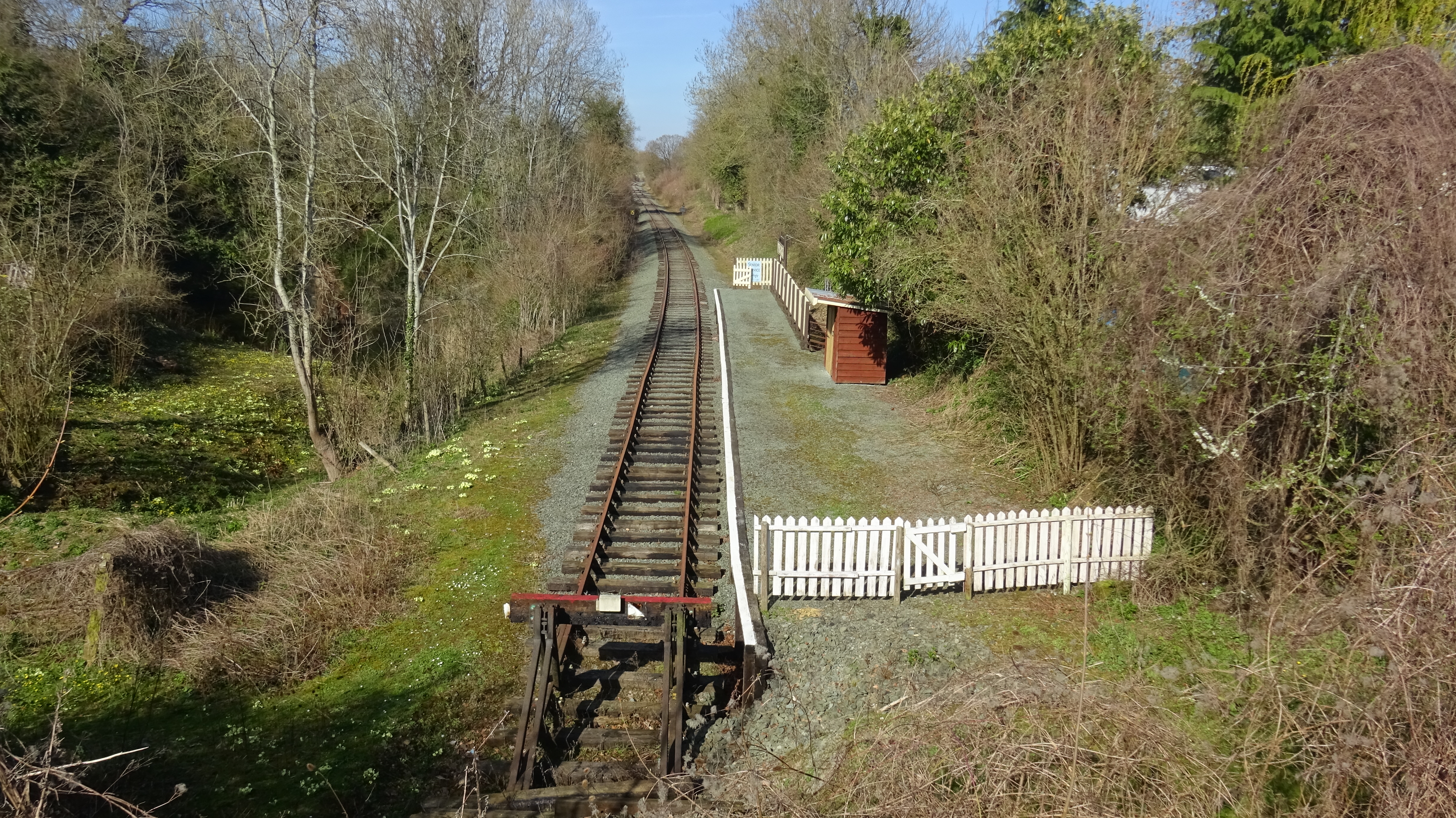
Llynclys South railway station

Llynclys South is a railway station on the Cambrian Heritage Railways' (CHR) line in Shropshire. It is located in the heart of the village of Llynclys...

Nearby Amenities

Located within 500m of 52.805804,-3.0790829
Railway: level_crossing
Lat/Long: 52.808076/-3.0846301
Historic Railway: level_crossing
Lat/Long: 52.8094207/-3.0830107
Llynclys Hill
Ele: 180
Natural: peak
Lat/Long: 52.8060252/-3.0787833
The data included in this document is from www.openstreetmap.org. The data is made available under ODbL.

Have you been to Llynclys Hill?

Leave your review of Llynclys Hill below (or comments, questions and feedback).