Black Spout

Waterfall in Selkirkshire

Scotland

Black Spout

Ettrick Parish Church From the slopes of Craig Hill.  We walked from St Mary's Loch and there was supposed to be a path to the church on the east of the hill, but we couldn't find it.
Ettrick Parish Church Credit: Graham Hewitt

Black Spout is a captivating waterfall located in Selkirkshire, a historic county situated in the Scottish Borders region of Scotland. With its breathtaking beauty and natural appeal, Black Spout attracts numerous visitors each year, making it a popular destination for nature enthusiasts and photographers.

Tumbling down from a height of around 60 meters (197 feet), Black Spout's cascading waters create a mesmerizing spectacle. The waterfall is formed by the Black Spout Burn, a small stream that originates from the slopes of the scenic Bowhill Estate. As the water plunges down the steep rock face, it creates a veil-like effect, surrounded by lush greenery and moss-covered rocks.

Access to Black Spout is provided by a well-maintained footpath, offering hikers and tourists the opportunity to appreciate its natural grandeur up close. The path winds through a dense forest, providing glimpses of the waterfall through the trees before finally reaching a viewing platform. From this vantage point, visitors can witness the powerful rush of water and feel the mist on their faces, truly immersing themselves in the beauty of nature.

Black Spout is not only a visual delight but also a haven for wildlife. The surrounding woodlands are home to a variety of bird species, including woodpeckers and buzzards, which can often be spotted in the vicinity of the waterfall. The area also supports a diverse range of plant life, with ferns and wildflowers dotting the landscape.

In summary, Black Spout is an awe-inspiring waterfall nestled in the scenic Selkirkshire countryside. Its dramatic descent, lush surroundings, and abundant wildlife make it a must-visit destination for anyone seeking a genuine and immersive experience with nature.

If you have any feedback on the listing, please let us know in the comments section below.

Black Spout Images

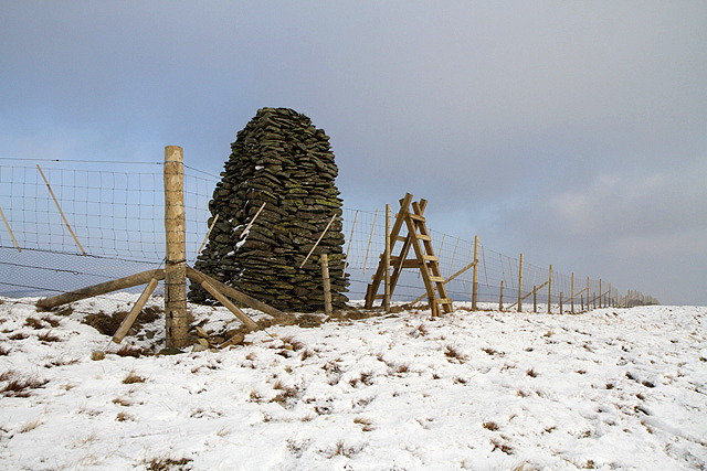
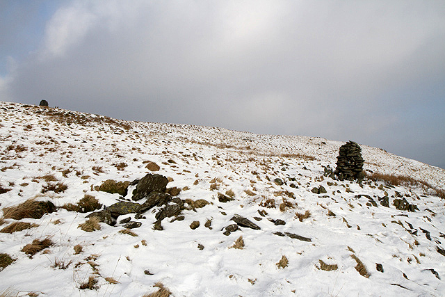
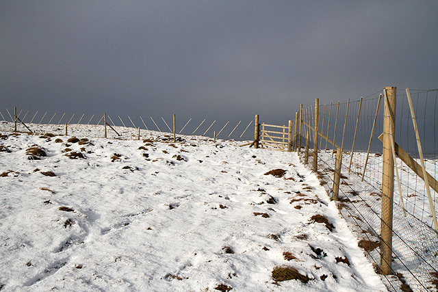
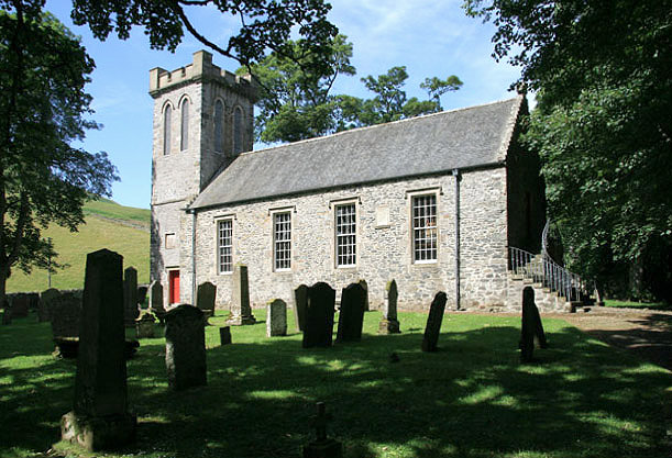
Images are sourced within 2km of 55.430071/-3.1478499 or Grid Reference NT2715. Thanks to Geograph Open Source API. All images are credited.

Ettrick Parish Church From the slopes of Craig Hill.  We walked from St Mary's Loch and there was supposed to be a path to the church on the east of the hill, but we couldn't find it.
Ettrick Parish Church
From the slopes of Craig Hill. We walked from St Mary's Loch and there was supposed to be a path to the church on the east of the hill, but we couldn't find it.
Ettrick Parish Church A view showing the fine stonework and wrought iron hand rails.  There was an exhibition of artefacts, photographs and articles about the church in a small room accessed through the door at the top of the stairs.
Ettrick Parish Church
A view showing the fine stonework and wrought iron hand rails. There was an exhibition of artefacts, photographs and articles about the church in a small room accessed through the door at the top of the stairs.
Boardwalk In The Ettrick Marshes A snow-covered boardwalk at the Ettrick Marshes leads to a small bird hide.
Boardwalk In The Ettrick Marshes
A snow-covered boardwalk at the Ettrick Marshes leads to a small bird hide.
Ditch In The Ettrick Marshes One of numerous ditches which penetrate the marshes.
Ditch In The Ettrick Marshes
One of numerous ditches which penetrate the marshes.
Ettrick Water A view of the Ettrick Water looking downstream from Ramseycleuch Bridge.
Ettrick Water
A view of the Ettrick Water looking downstream from Ramseycleuch Bridge.
Lichen Mosaic A view of fruticose lichen-encrusted trees at the Ettrick Marshes.
Lichen Mosaic
A view of fruticose lichen-encrusted trees at the Ettrick Marshes.
Snowdrops at Thirlestane In a wooded area near Thirlestane Tower in the Ettrick Valley.
Snowdrops at Thirlestane
In a wooded area near Thirlestane Tower in the Ettrick Valley.
Thirlestane Tower The remains of this 16th century tower are on the northeast side of the Thirlestane Burn. A tree has fallen over the tower but doesn’t appear to have caused much damage. For a view of the tree before it fell through a gap in the tower wall, see <a href="https://www.geograph.org.uk/photo/2174692">NT2815 : Remains of Thirlestane Tower, Ettrick Valley</a>.
Thirlestane Tower
The remains of this 16th century tower are on the northeast side of the Thirlestane Burn. A tree has fallen over the tower but doesn’t appear to have caused much damage. For a view of the tree before it fell through a gap in the tower wall, see NT2815 : Remains of Thirlestane Tower, Ettrick Valley.
A track on Thirlestane Hill This is on the northeast side of the Thirlestane Burn in a wooded area.
A track on Thirlestane Hill
This is on the northeast side of the Thirlestane Burn in a wooded area.
Trees on Thirlestane Hill This woodland on the northeast side of the Thirlestane Burn was viewed from a grass track.
Trees on Thirlestane Hill
This woodland on the northeast side of the Thirlestane Burn was viewed from a grass track.
Black Spout Waterfall This atmospheric small waterfall is on the Thirlestane Burn.
Black Spout Waterfall
This atmospheric small waterfall is on the Thirlestane Burn.
A new forestry plantation on Ward Law and Thirlestane Hill In a few years Sitka trees will be covering more of the Ettrick Valley hills. This is a view from the east side of Ward Law towards Thirlestane Hill.
A new forestry plantation on Ward Law and Thirlestane Hill
In a few years Sitka trees will be covering more of the Ettrick Valley hills. This is a view from the east side of Ward Law towards Thirlestane Hill.
The Jubilee Cairn on Ward Law This substantial cairn is very close to the 594m summit of the hill. The old fence over the hill has been replaced with a new fence which is 1.7m high to the top wire and this was the only stile I noticed on my walk.
The Jubilee Cairn on Ward Law
This substantial cairn is very close to the 594m summit of the hill. The old fence over the hill has been replaced with a new fence which is 1.7m high to the top wire and this was the only stile I noticed on my walk.
A cairn on Ward Law This cairn is at the 580m contour with the top of the Jubilee Cairn showing on the far left.
A cairn on Ward Law
This cairn is at the 580m contour with the top of the Jubilee Cairn showing on the far left.
A sheepfold below Thirlestane Hill This old sheepfold is on the north side of the Thirlestane Burn with new forestry planting behind.
A sheepfold below Thirlestane Hill
This old sheepfold is on the north side of the Thirlestane Burn with new forestry planting behind.
A fence on Ward Law The old fence that was easy to climb over has been replaced with this new fence. The height to the top wire is 1.7m.
A fence on Ward Law
The old fence that was easy to climb over has been replaced with this new fence. The height to the top wire is 1.7m.
Trees by the Thirlestane Burn This is on the north side of the burn in a woodland strip between Ramseycleuch Hill and Thirlestane Hill.
Trees by the Thirlestane Burn
This is on the north side of the burn in a woodland strip between Ramseycleuch Hill and Thirlestane Hill.
Woodland on Thirlestane Hill
Show me another place!

Black Spout is located at Grid Ref: NT2715 (Lat: 55.430071, Lng: -3.1478499)

Unitary Authority: The Scottish Borders

Police Authority: The Lothians and Scottish Borders

What 3 Words

///adding.grudging.safe. Near Ettrick, Scottish Borders

Related Wikis

Ettrick, Scotland

Ettrick (Scottish Gaelic: Eadaraig, IPA: [ˈet̪əɾɪkʲ]) is a small village and civil parish in the Scottish Borders area of Scotland. It is located on the...

Tushielaw Tower

Tushielaw Tower is a 16th-century tower house, about 2.5 miles (4.0 km) north and east of Ettrick, Scottish Borders, Scotland, and west of Ettrick Water...
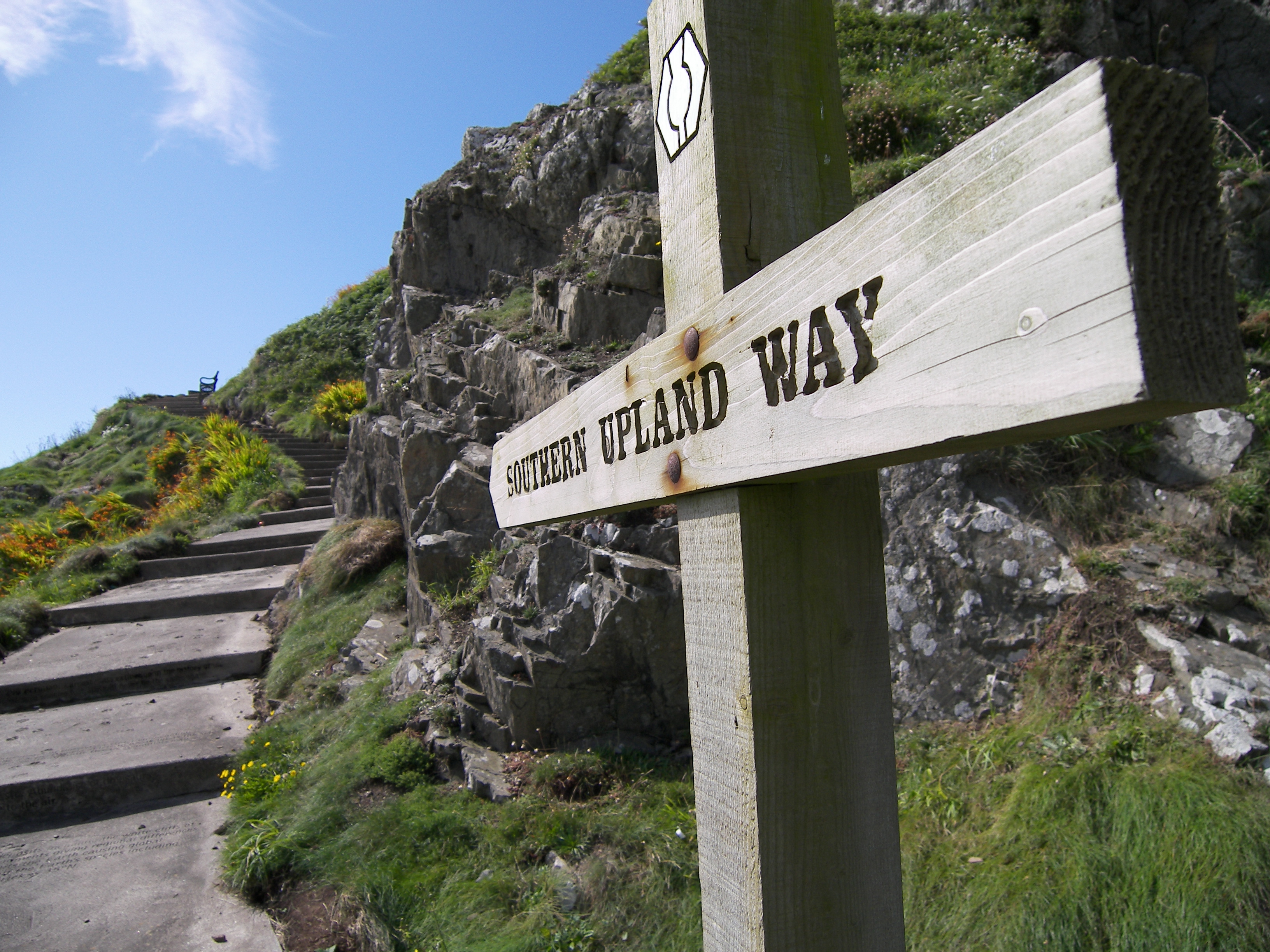
Southern Upland Way

The Southern Upland Way is a 344-kilometre (214 mi) coast-to-coast long-distance footpath in southern Scotland. The route links Portpatrick in the west...

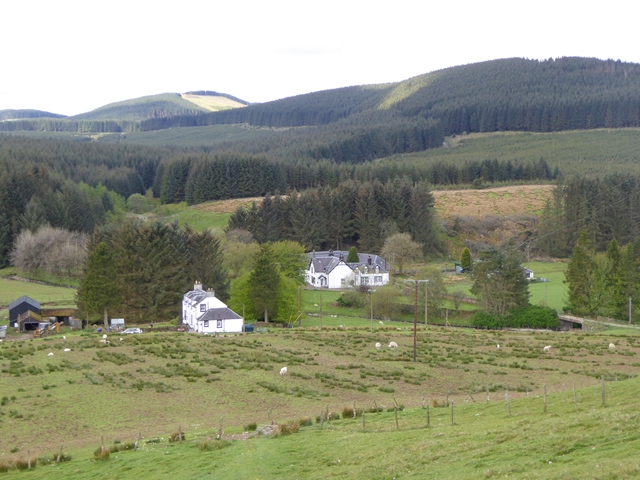
Buccleuch, Scottish Borders

East and West Buccleuch ( bə-KLOO) are two homesteads in the Scottish Borders, in the Ettrick parish of historic Selkirkshire. They are located off the...

Have you been to Black Spout?

Leave your review of Black Spout below (or comments, questions and feedback).