Tinnis Hill

Hill, Mountain in Dumfriesshire

Scotland

Tinnis Hill

Bridge over A74(M)
Bridge over A74(M) Credit: Alpin Stewart

Tinnis Hill, located in Dumfriesshire, Scotland, is a prominent hill that offers stunning views and attracts outdoor enthusiasts. Standing at an elevation of approximately 532 meters (1,745 feet), it is a significant landmark in the region. The hill is part of the Southern Uplands, a range of rolling hills and mountains that stretch across southern Scotland.

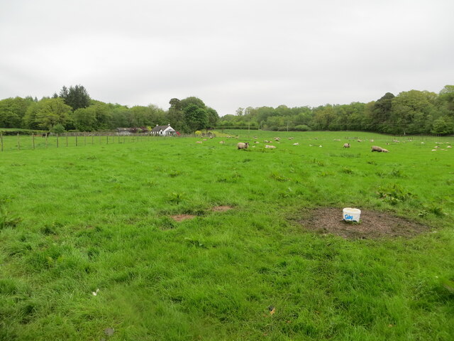
Tinnis Hill is known for its picturesque scenery and diverse flora and fauna. The surrounding landscape is characterized by heather-covered moorland, rocky outcrops, and patches of woodland. The hill provides a habitat for various bird species, including buzzards and red kites, making it a popular spot for birdwatching.

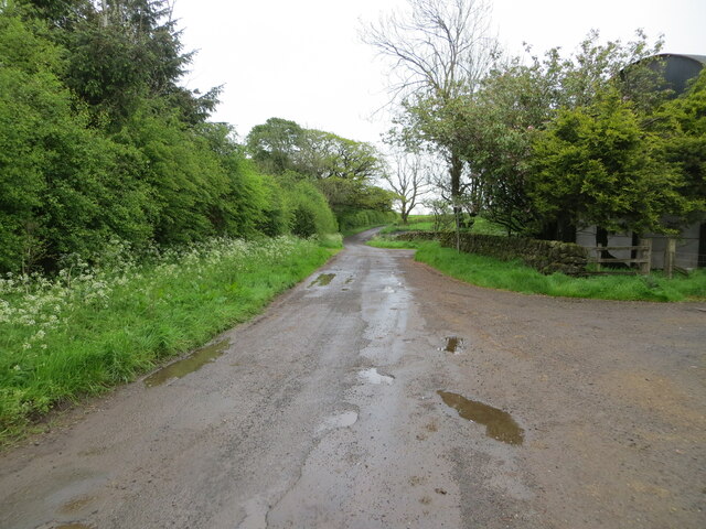
For those seeking adventure, Tinnis Hill offers several hiking trails that cater to different skill levels. The routes take visitors through rugged terrain and steep slopes, providing a challenging but rewarding experience. As hikers ascend to the summit, they are rewarded with panoramic views of the surrounding countryside, including the nearby Solway Firth and the rolling hills of Dumfriesshire.

Tinnis Hill is easily accessible, with nearby parking facilities and clear signposting. Visitors are advised to wear suitable outdoor clothing and footwear, especially during wet and windy weather, as conditions can be unpredictable at higher elevations.

Overall, Tinnis Hill is a beautiful and captivating destination for nature lovers, hikers, and those seeking a peaceful retreat in the Scottish countryside. Its stunning views, diverse wildlife, and challenging trails make it a must-visit location in Dumfriesshire.

If you have any feedback on the listing, please let us know in the comments section below.
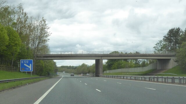
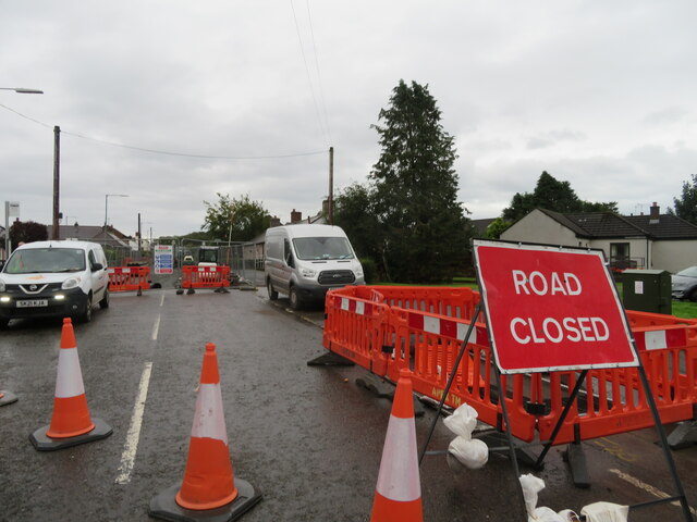
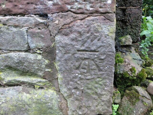
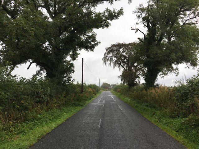
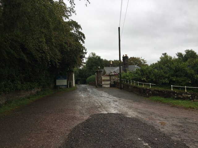
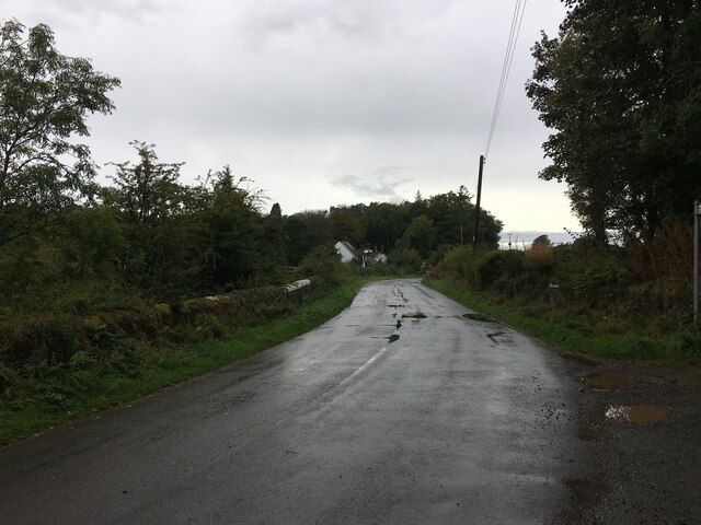
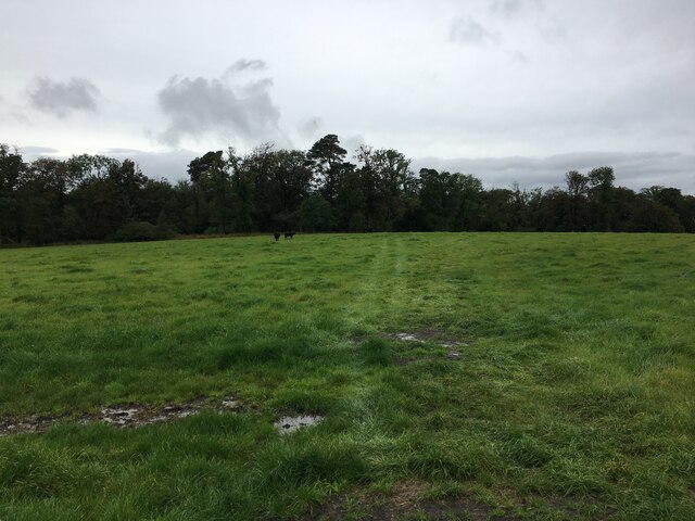
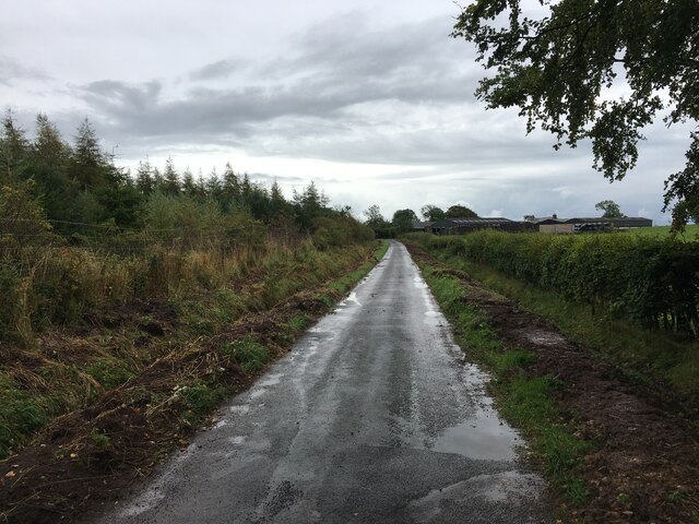
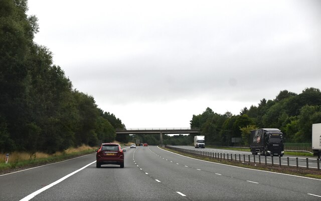
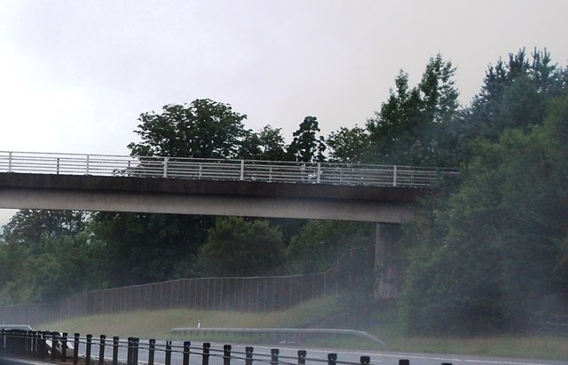
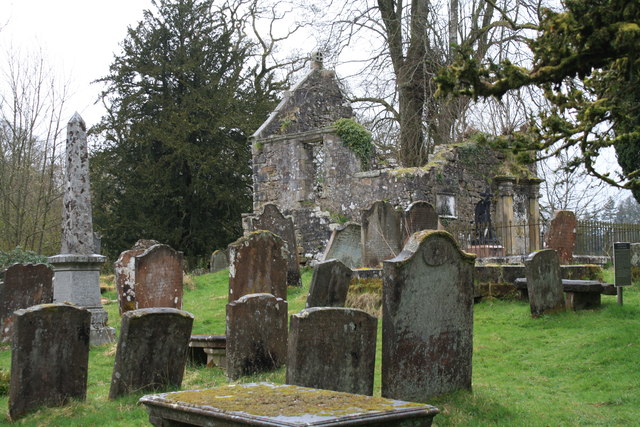
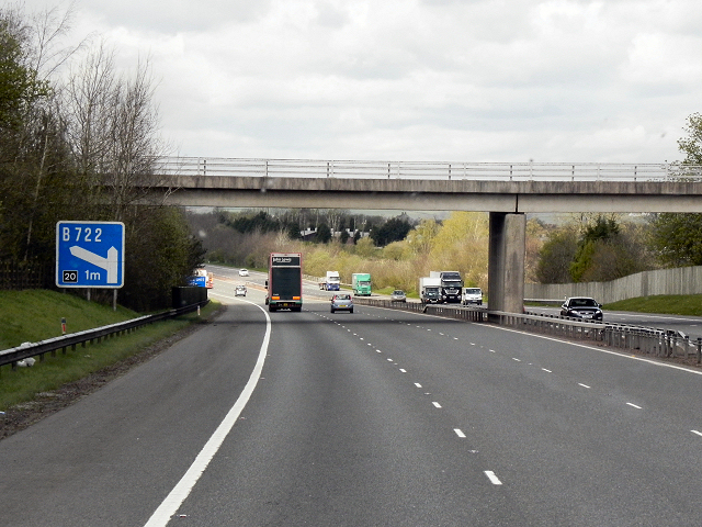
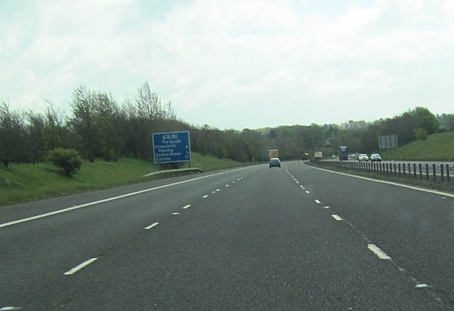
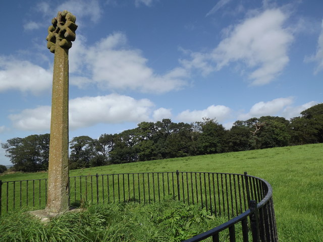
Tinnis Hill Images

Images are sourced within 2km of 55.054801/-3.1692722 or Grid Reference NY2573. Thanks to Geograph Open Source API. All images are credited.

Bridge over A74(M)
Bridge over A74(M)
Road Closed at Eaglesfield The B722 to Waterbeck closed for 3 months for carriageway strengthening; so from here to Waterbeck is over 7km, rather than 3km, on a much rougher, unclassified, road - how annoying!
Road Closed at Eaglesfield
The B722 to Waterbeck closed for 3 months for carriageway strengthening; so from here to Waterbeck is over 7km, rather than 3km, on a much rougher, unclassified, road - how annoying!
Minor road at Sharksfields Looking eastward.
Minor road at Sharksfields
Looking eastward.
Pastureland hosting sheep and their lambs Looking northward.
Pastureland hosting sheep and their lambs
Looking northward.
Ordnance Survey Cut Mark This mark can be found on the wall of a barn at Sharksfields.
The recorded details give a height of 89.958 metres above sea level.
For more detail see : <span class="nowrap"><a title="https://www.bench-marks.org.uk/bm171813" rel="nofollow ugc noopener" href="https://www.bench-marks.org.uk/bm171813">Link</a><img style="margin-left:2px;" alt="External link" title="External link - shift click to open in new window" src="https://s1.geograph.org.uk/img/external.png" width="10" height="10"/></span>
Ordnance Survey Cut Mark
This mark can be found on the wall of a barn at Sharksfields. The recorded details give a height of 89.958 metres above sea level. For more detail see : LinkExternal link
Minor road near Kirtlebridge
Entrance to Springkell
Minor road near Eaglesfield
Field near Blackcleugh
Recent drainage works beside road near Sharkshields Farm
A74(M), southbound The A74(M) & M74  run over 80 miles from the M6 at the Scottish border near Gretna to the M8 at Glasgow. This is one of the two most important routeways into Scotland from the south. The last stretch of the M74 opened in 2011 (see <a title="https://www.geograph.org.uk/snippet/590" href="https://www.geograph.org.uk/snippet/590">Link</a> ).
Wikipedia: <span class="nowrap"><a title="http://en.wikipedia.org/wiki/A74(M)_and_M74_motorways" rel="nofollow ugc noopener" href="http://en.wikipedia.org/wiki/A74(M)_and_M74_motorways">Link</a><img style="margin-left:2px;" alt="External link" title="External link - shift click to open in new window" src="https://s1.geograph.org.uk/img/external.png" width="10" height="10"/></span>
A74(M), southbound
The A74(M) & M74 run over 80 miles from the M6 at the Scottish border near Gretna to the M8 at Glasgow. This is one of the two most important routeways into Scotland from the south. The last stretch of the M74 opened in 2011 (see Link ). Wikipedia: LinkExternal link
Bridge over the A74(M) near Kirtlebridge The A74(M) & M74  run over 80 miles from the M6 at the Scottish border near Gretna to the M8 at Glasgow. This is one of the two most important routeways into Scotland from the south. The last stretch of the M74 opened in 2011 (see <a title="https://www.geograph.org.uk/snippet/590" href="https://www.geograph.org.uk/snippet/590">Link</a> ).
Wikipedia: <span class="nowrap"><a title="http://en.wikipedia.org/wiki/A74(M)_and_M74_motorways" rel="nofollow ugc noopener" href="http://en.wikipedia.org/wiki/A74(M)_and_M74_motorways">Link</a><img style="margin-left:2px;" alt="External link" title="External link - shift click to open in new window" src="https://s1.geograph.org.uk/img/external.png" width="10" height="10"/></span>
Bridge over the A74(M) near Kirtlebridge
The A74(M) & M74 run over 80 miles from the M6 at the Scottish border near Gretna to the M8 at Glasgow. This is one of the two most important routeways into Scotland from the south. The last stretch of the M74 opened in 2011 (see Link ). Wikipedia: LinkExternal link
Kirkconnel Churchyard The ruins of the kirk associated with the tragedy of 'Fair Helen'.
Kirkconnel Churchyard
The ruins of the kirk associated with the tragedy of 'Fair Helen'.
A74(M) Kirtlebridge
A74(M) Kirtlebridge
A74(M) southbound just north of Kirtlebridge
Merkland Cross Isolated stone cross in a grassy field east of the A74(M) near Kirtlebridge. It may be an old "preaching cross" but its history is yet undetermined.
Merkland Cross
Isolated stone cross in a grassy field east of the A74(M) near Kirtlebridge. It may be an old "preaching cross" but its history is yet undetermined.
A74(M), overbridge near Kirtlebridge The A74(M) & M74  run over 80 miles from the M6 at the Scottish border near Gretna to the M8 at Glasgow. This is one of the two most important routeways into Scotland from the south. The last stretch of the M74 opened in 2011 (see <a title="https://www.geograph.org.uk/snippet/590" href="https://www.geograph.org.uk/snippet/590">Link</a> ).
Wikipedia: <span class="nowrap"><a title="http://en.wikipedia.org/wiki/A74(M)_and_M74_motorways" rel="nofollow ugc noopener" href="http://en.wikipedia.org/wiki/A74(M)_and_M74_motorways">Link</a><img style="margin-left:2px;" alt="External link" title="External link - shift click to open in new window" src="https://s1.geograph.org.uk/img/external.png" width="10" height="10"/></span>
A74(M), overbridge near Kirtlebridge
The A74(M) & M74 run over 80 miles from the M6 at the Scottish border near Gretna to the M8 at Glasgow. This is one of the two most important routeways into Scotland from the south. The last stretch of the M74 opened in 2011 (see Link ). Wikipedia: LinkExternal link
Bridge over the A74(M)
Show me another place!

Tinnis Hill is located at Grid Ref: NY2573 (Lat: 55.054801, Lng: -3.1692722)

Unitary Authority: Dumfries and Galloway

Police Authority: Dumfries and Galloway

What 3 Words

///shirtless.dinner.canine. Near Eastriggs, Dumfries & Galloway

Related Wikis

Eaglesfield, Dumfries and Galloway

Eaglesfield is a village in south east Dumfriesshire in the local authority area of Dumfries and Galloway, Scotland. == History == Eaglesfield is of ancient...

Kirtlebridge

Kirtlebridge is a village in Dumfries and Galloway, southern Scotland. It is located 8 kilometres (5.0 mi) north-east of Annan, 5 kilometres (3.1 mi) north...
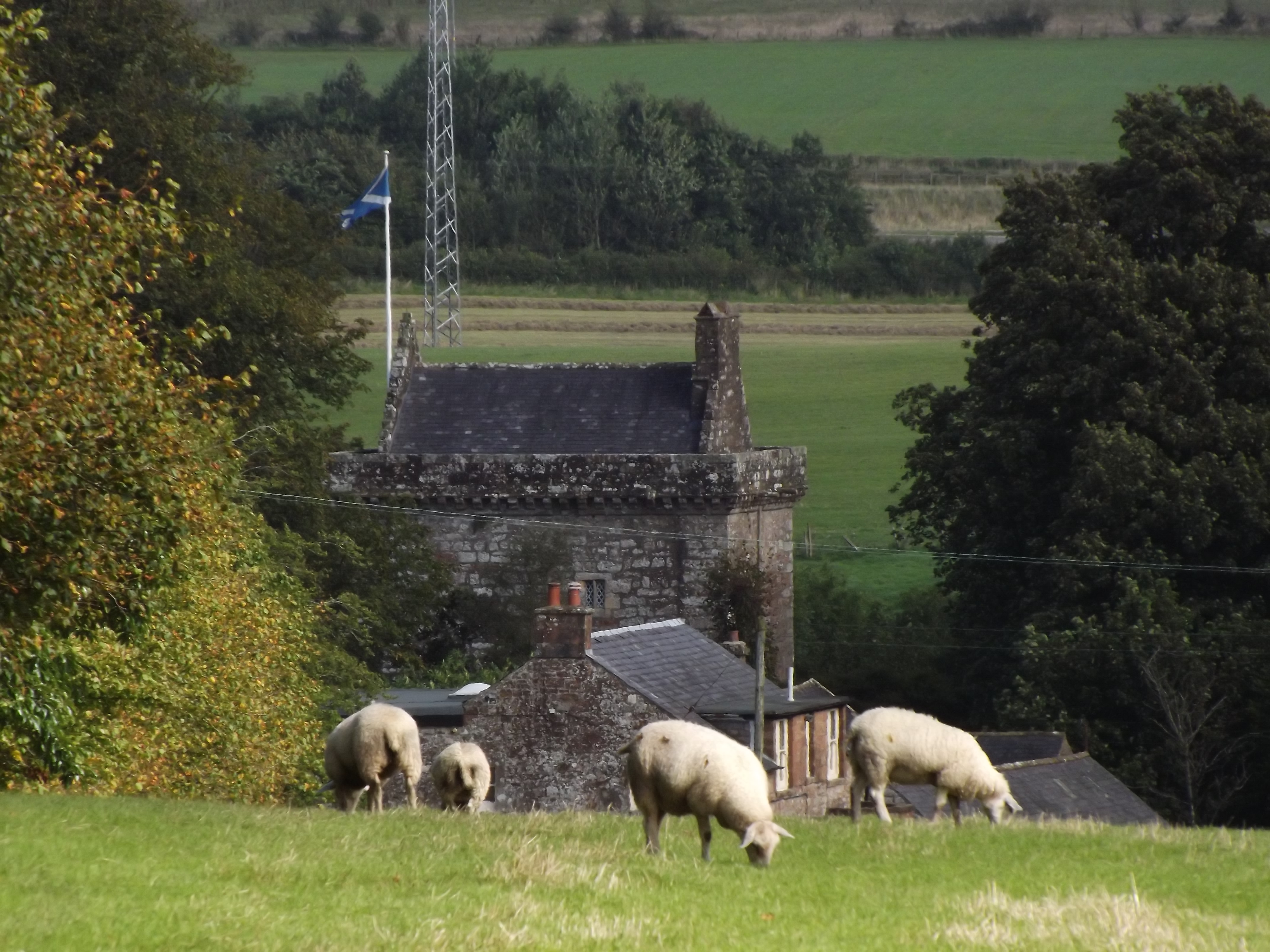
Bonshaw Tower

Bonshaw Tower is an oblong tower house, probably dating from the mid-16th century, one mile south of Kirtlebridge, Dumfries and Galloway, Scotland, above...
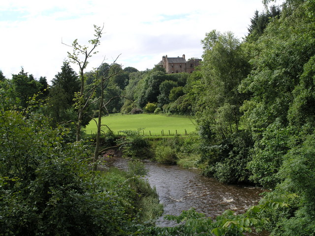
Robgill Tower

Robgill Tower is a tower house near Kirkpatrick Fleming on the banks of the river Kirtle. It was one of a number of towers built along the border as protection...

Nearby Amenities

Located within 500m of 55.054801,-3.1692722
Created By: Merkaartor 0.13
Lat/Long: 55.0584179/-3.1731977
Created By: Merkaartor 0.13
Lat/Long: 55.0580792/-3.1732283
Created By: Merkaartor 0.13
Lat/Long: 55.0572456/-3.1737327
Created By: Merkaartor 0.13
Lat/Long: 55.056959/-3.1744053
Created By: Merkaartor 0.13
Lat/Long: 55.0561861/-3.1753989
Created By: Merkaartor 0.13
Lat/Long: 55.0557346/-3.1759491
Created By: Merkaartor 0.13
Lat/Long: 55.0553438/-3.1760868
Created By: Merkaartor 0.13
Lat/Long: 55.0549704/-3.1760256
Created By: Merkaartor 0.13
Lat/Long: 55.0543885/-3.1757351
Created By: Merkaartor 0.13
Lat/Long: 55.0539978/-3.175674
The data included in this document is from www.openstreetmap.org. The data is made available under ODbL.

Have you been to Tinnis Hill?

Leave your review of Tinnis Hill below (or comments, questions and feedback).