Wysebyhill Moss
Downs, Moorland in Dumfriesshire
Scotland
Wysebyhill Moss

Wysebyhill Moss is a captivating and serene natural area located in Dumfriesshire, Scotland. This enchanting expanse of downs and moorland is a testament to the untouched beauty of the region. Covering an expansive area, Wysebyhill Moss is a haven for nature enthusiasts and explorers alike.
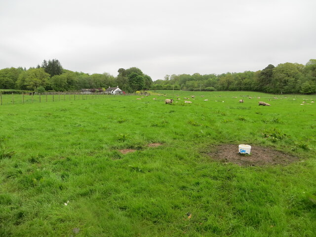
The landscape of Wysebyhill Moss is characterized by rolling hills, heather-clad moors, and vast stretches of open grassland. The moss itself is a combination of wetland and bog, creating a unique and diverse ecosystem. Visitors can expect to encounter a plethora of plant and animal species that call this area home.
The flora of Wysebyhill Moss is diverse and resilient, with heather, bracken, and cotton grass dominating the landscape. This rich vegetation provides a habitat for numerous bird species, including curlews, lapwings, and red grouse. Additionally, the moss is home to a variety of insects, amphibians, and small mammals.
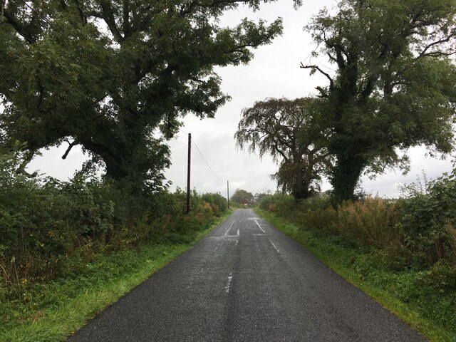
Exploring Wysebyhill Moss offers visitors the chance to immerse themselves in the tranquility of nature. Hiking trails meander through the moorland, offering breathtaking views of the surrounding countryside. Additionally, birdwatching opportunities are plentiful, with several observation points scattered throughout the area.
Wysebyhill Moss is a true testament to the raw beauty of Dumfriesshire. Its untouched downs and moorland provide a sanctuary for both wildlife and visitors seeking solace in nature. Whether it's a leisurely walk or an immersive birdwatching adventure, this captivating destination is sure to leave a lasting impression on all who visit.
If you have any feedback on the listing, please let us know in the comments section below.
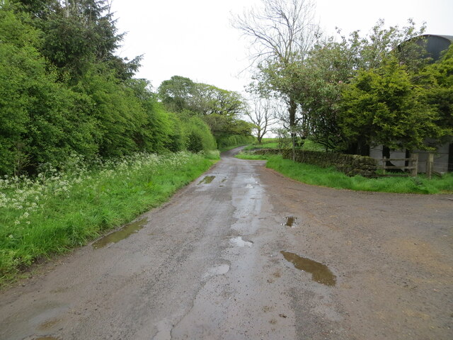
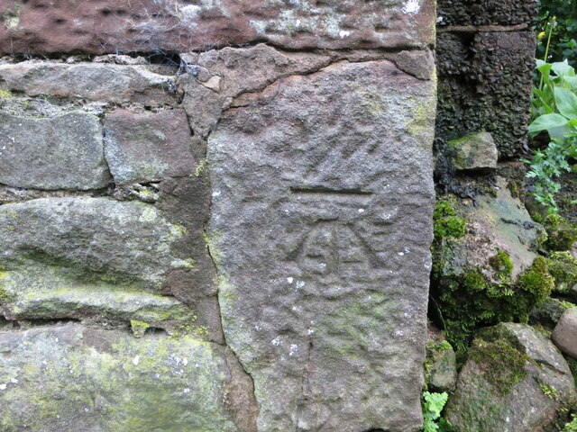
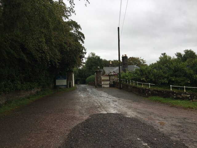
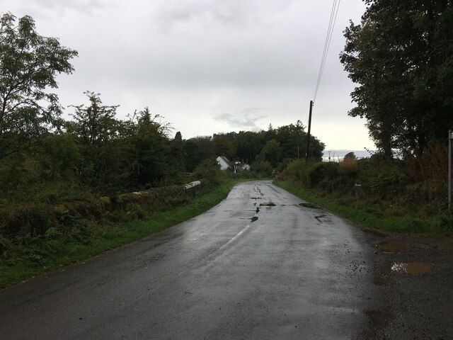
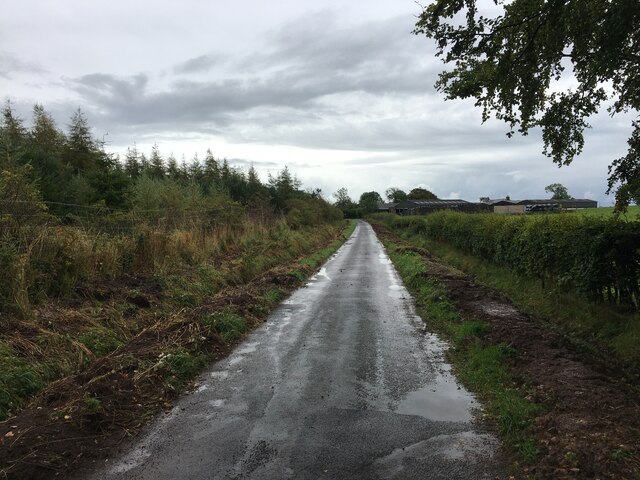
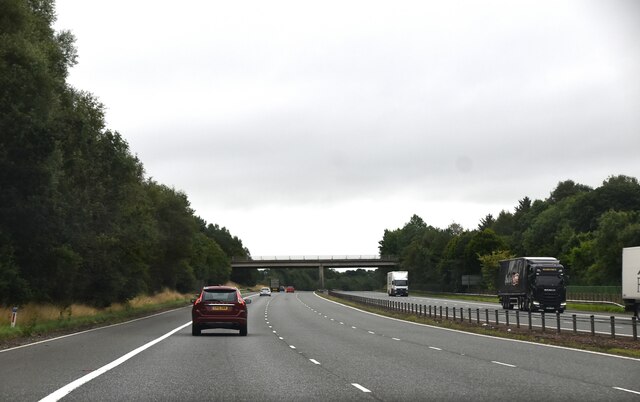
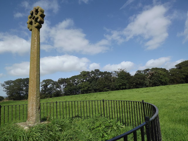
Wysebyhill Moss Images
Images are sourced within 2km of 55.049969/-3.160444 or Grid Reference NY2573. Thanks to Geograph Open Source API. All images are credited.


Wysebyhill Moss is located at Grid Ref: NY2573 (Lat: 55.049969, Lng: -3.160444)
Unitary Authority: Dumfries and Galloway
Police Authority: Dumfries and Galloway
What 3 Words
///portable.narrowest.routine. Near Eastriggs, Dumfries & Galloway
Nearby Locations
Related Wikis
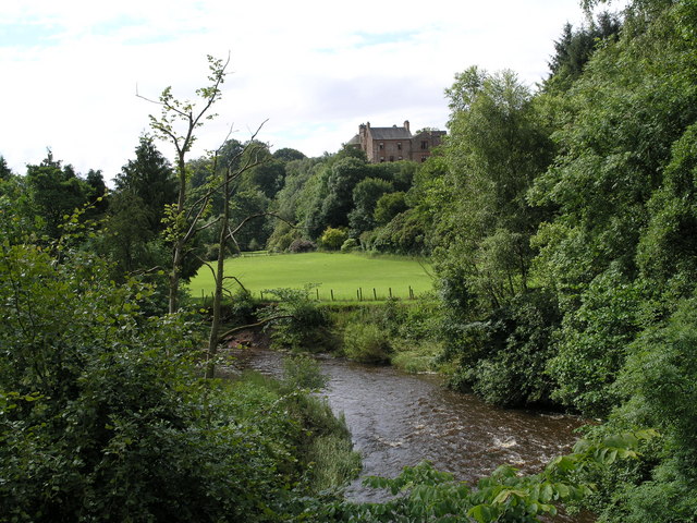
Robgill Tower
Robgill Tower is a tower house near Kirkpatrick Fleming on the banks of the river Kirtle. It was one of a number of towers built along the border as protection...

Kirtlebridge
Kirtlebridge is a village in Dumfries and Galloway, southern Scotland. It is located 8 kilometres (5.0 mi) north-east of Annan, 5 kilometres (3.1 mi) north...
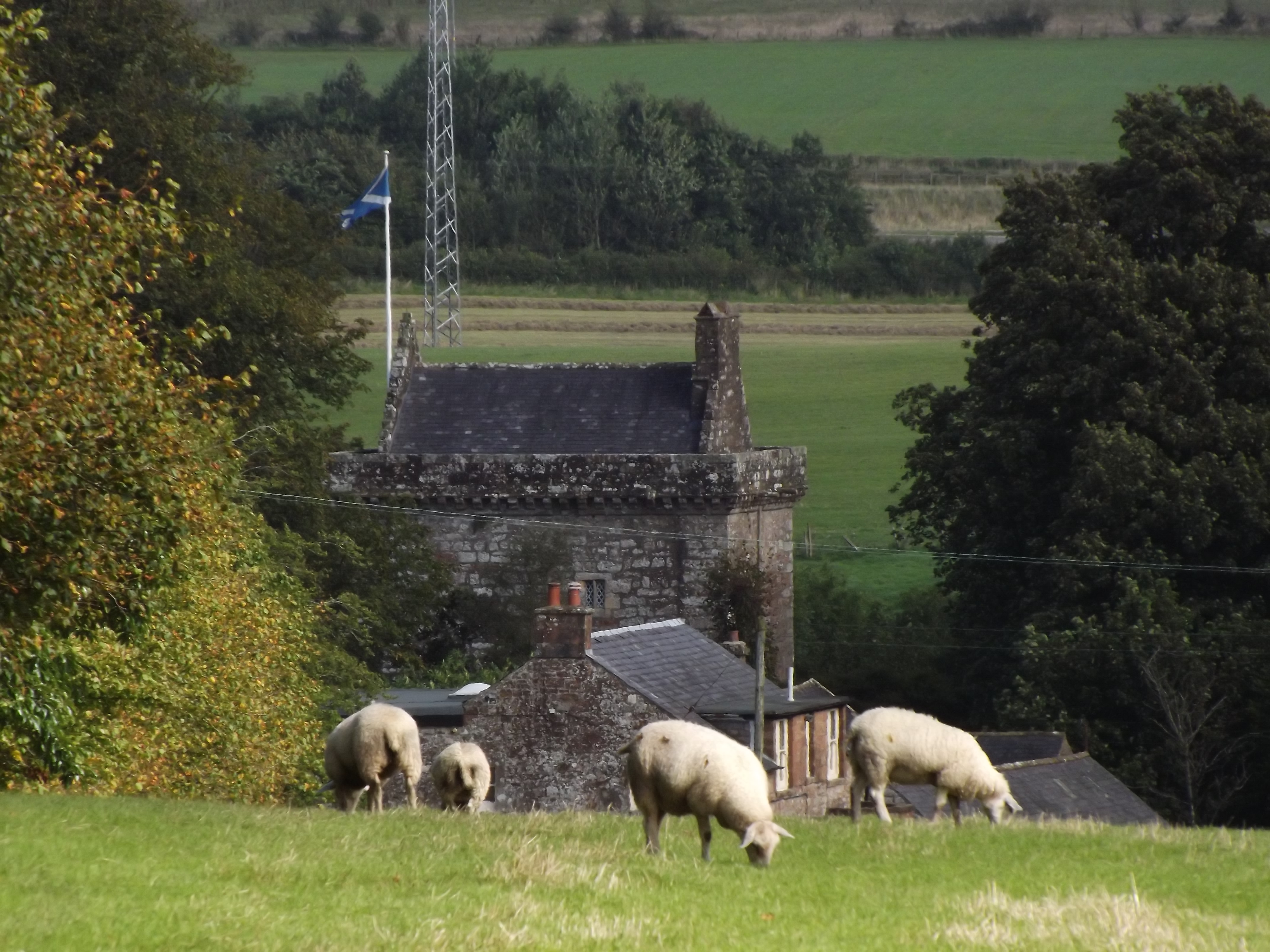
Bonshaw Tower
Bonshaw Tower is an oblong tower house, probably dating from the mid-16th century, one mile south of Kirtlebridge, Dumfries and Galloway, Scotland, above...

Eaglesfield, Dumfries and Galloway
Eaglesfield is a village in south east Dumfriesshire in the local authority area of Dumfries and Galloway, Scotland. == History == Eaglesfield is of ancient...
Nearby Amenities
Located within 500m of 55.049969,-3.160444Have you been to Wysebyhill Moss?
Leave your review of Wysebyhill Moss below (or comments, questions and feedback).