Cairds Hillock
Hill, Mountain in Caithness
Scotland
Cairds Hillock
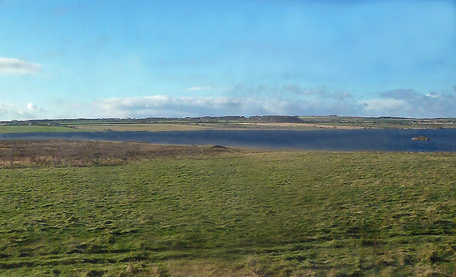
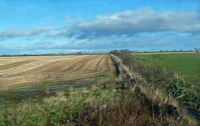
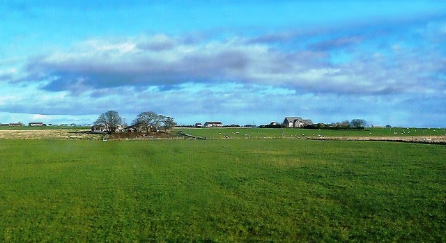
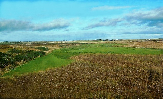
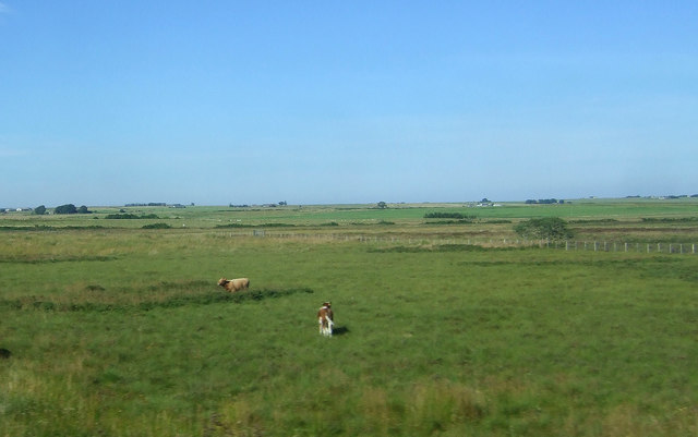
Cairds Hillock is a prominent hill located in the county of Caithness in the northernmost part of mainland Scotland. With an elevation of approximately 187 meters (614 feet), it is often referred to as a hill rather than a mountain. Despite its modest height, Cairds Hillock offers stunning panoramic views of the surrounding countryside and is a popular destination for hikers and nature enthusiasts.
Situated near the village of Lybster, Cairds Hillock is characterized by its gently sloping terrain and lush green vegetation. The hill is primarily composed of sandstone, which gives it a distinctive reddish hue. It is home to a variety of plant and animal species, including heather, gorse, and various species of birds such as pheasants and kestrels.
The ascent to the summit of Cairds Hillock is relatively easy, with well-defined paths and gentle gradients. Once at the top, visitors are rewarded with breathtaking vistas of the Caithness coastline, the surrounding farmland, and the nearby Morven Hills. On clear days, it is even possible to see as far as the Orkney Islands to the north.
The hill is steeped in history, with traces of ancient settlements and archaeological remains dating back thousands of years. Cairds Hillock is believed to have been a significant landmark for the local inhabitants in ancient times, serving as a navigational point and a place of religious significance.
Overall, Cairds Hillock is a picturesque and historically significant hill that offers visitors a chance to immerse themselves in the natural beauty of Caithness while enjoying stunning views of the surrounding landscape.
If you have any feedback on the listing, please let us know in the comments section below.
Cairds Hillock Images
Images are sourced within 2km of 58.482558/-3.2812159 or Grid Reference ND2555. Thanks to Geograph Open Source API. All images are credited.

Cairds Hillock is located at Grid Ref: ND2555 (Lat: 58.482558, Lng: -3.2812159)
Unitary Authority: Highland
Police Authority: Highlands and Islands
What 3 Words
///optimally.kitten.tablets. Near Wick, Highland
Nearby Locations
Related Wikis
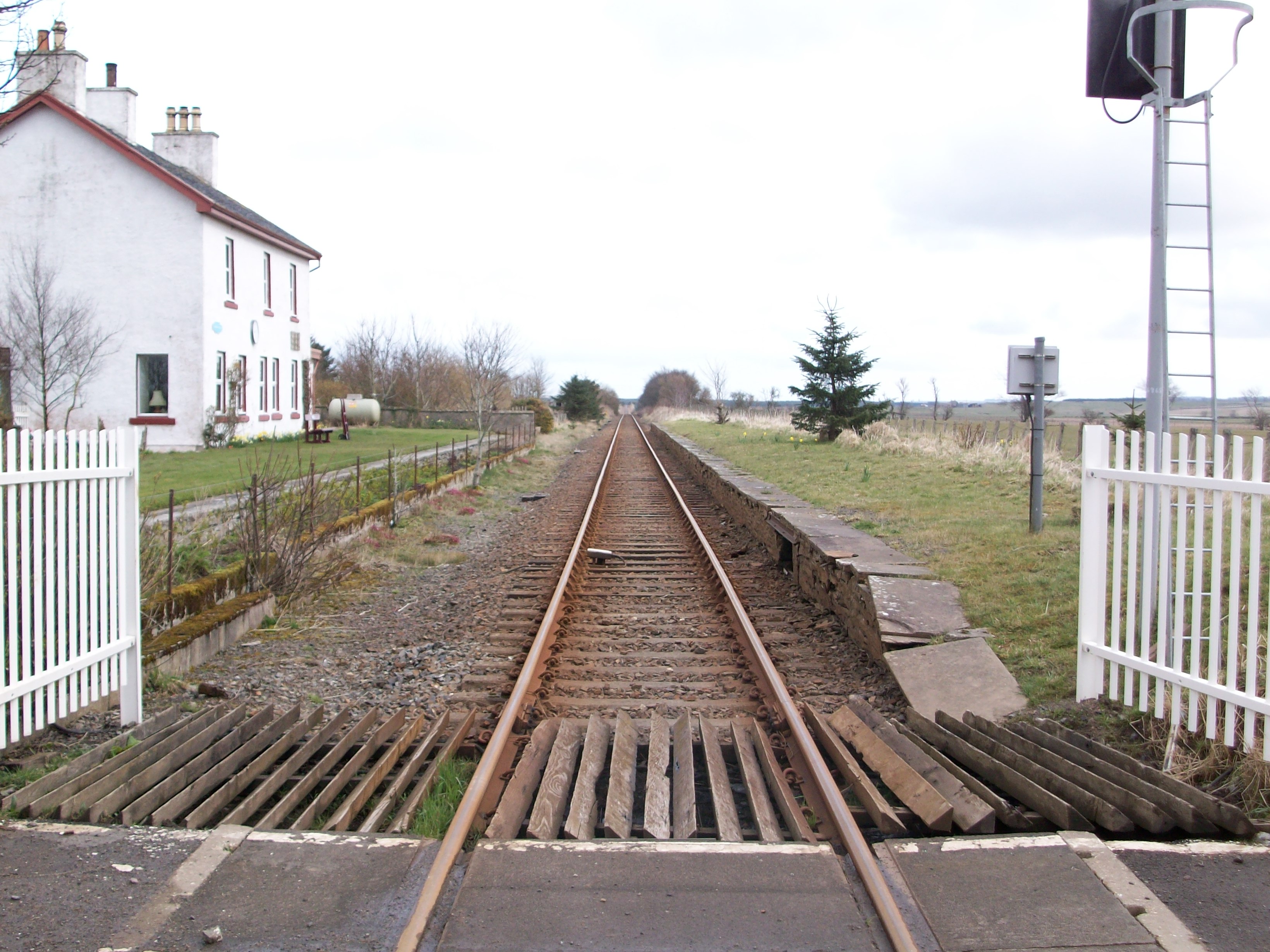
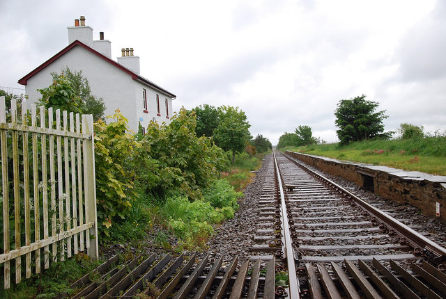
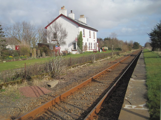
Watten railway station
Watten was a railway station located at the east end of Loch Watten, Highland between Halkirk and Wick, Scotland. The station opened on 28 July 1874. The...

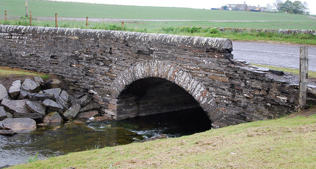
Loch Burn, Watten
Loch Burn is a stream that flows out of the eastern end of Loch Watten in Caithness, in the Highland area of Scotland, at a height of around 20 metres...
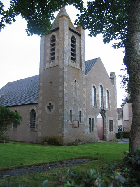
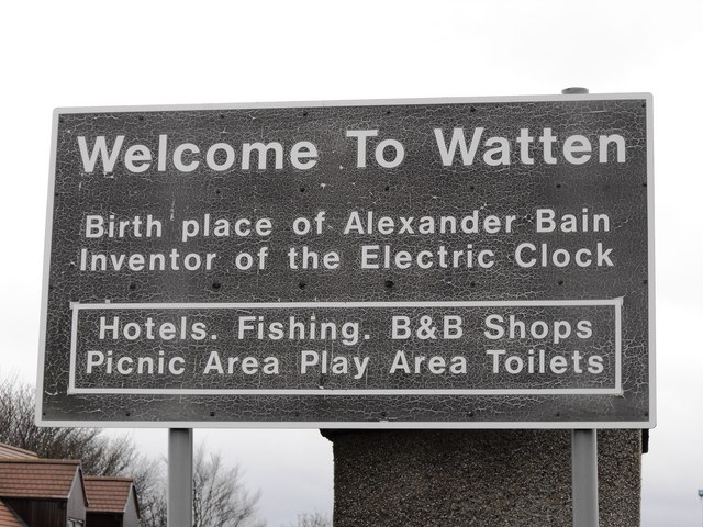
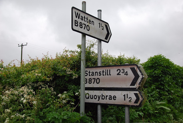
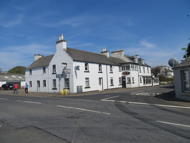
Watten, Highland
Watten (Scottish Gaelic: Bhatan) is a small village in Caithness, in the Highland area of Scotland, on the main road (A882-A9) between the burgh of Wick...
Strath Burn (Wick River tributary)
Strath Burn is a stream which has its source in the Flow Country of Caithness, Scotland, at a height above sea level of around 70 metres, at the confluence...

A882 road
The A882 road is entirely within Caithness in the Highland area of Scotland. It has a length of about 23 kilometres (14 mi) and runs generally west/northwest...
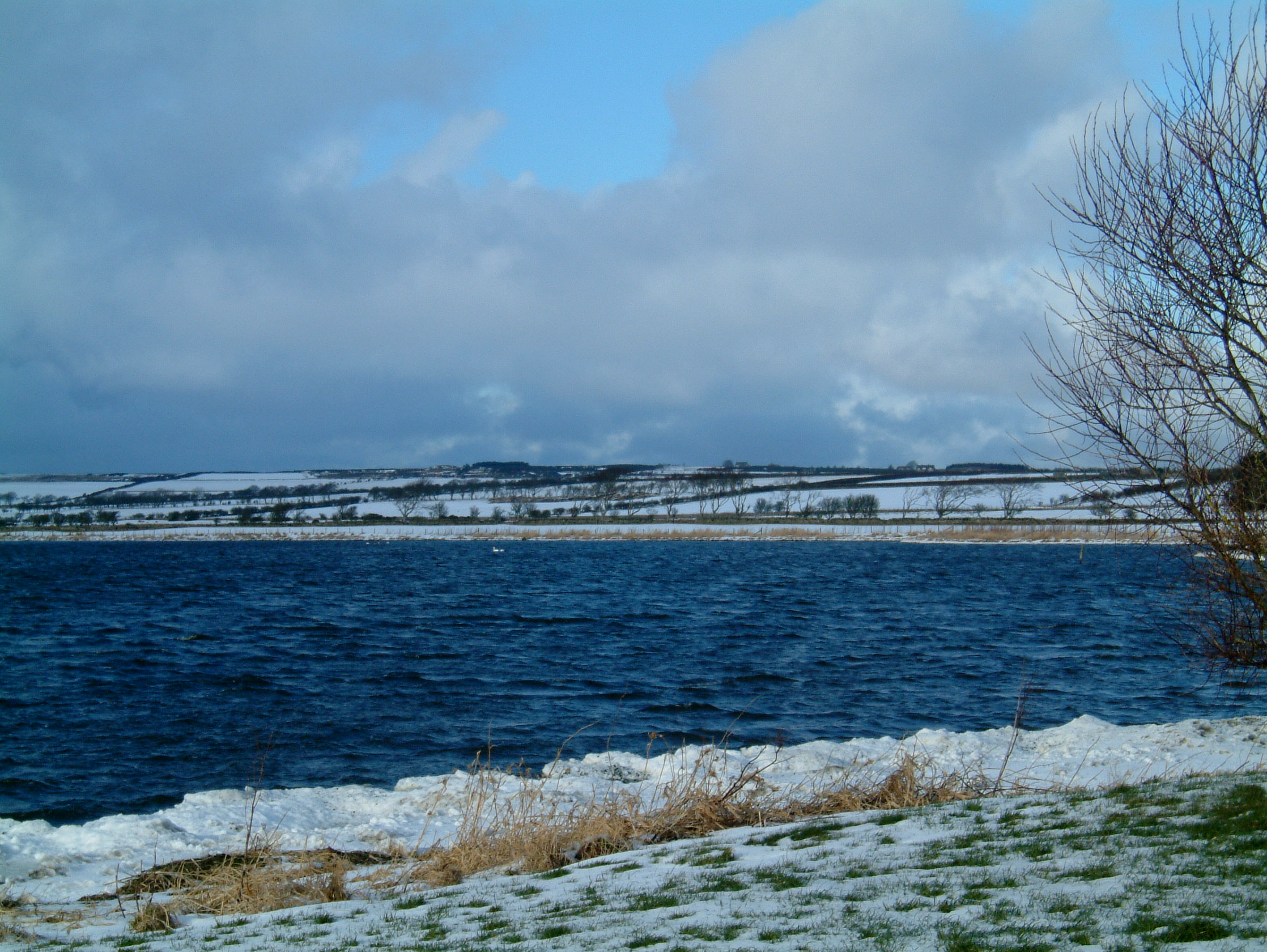
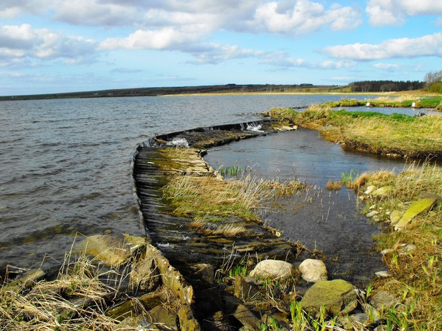
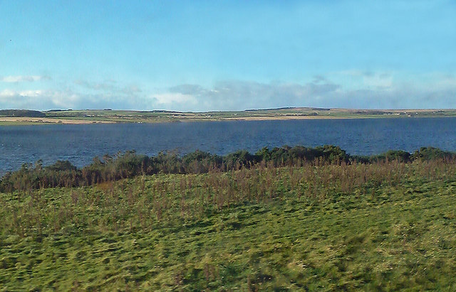
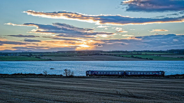
Loch Watten
Loch Watten is a loch in the River Wick drainage basin in Caithness, Scotland. The name is a tautology, consisting of the word "loch" (of Gaelic origin...
Scouthal Burn
Scouthal Burn, a continuation of Burn of Acharole has its source in the Flow Country of Caithness, in the Highland area of Scotland, at a height of around...
Caithness Lochs
Caithness Lochs is a protected wetland area in the historic county of Caithness in the far north of Scotland. With a total area of 1,379 hectares, it covers...
Nearby Amenities
Located within 500m of 58.482558,-3.2812159Have you been to Cairds Hillock?
Leave your review of Cairds Hillock below (or comments, questions and feedback).