Weddersbie Hill

Hill, Mountain in Fife

Scotland

Weddersbie Hill

A91 Cupar Road
A91 Cupar Road Credit: Mark Anderson

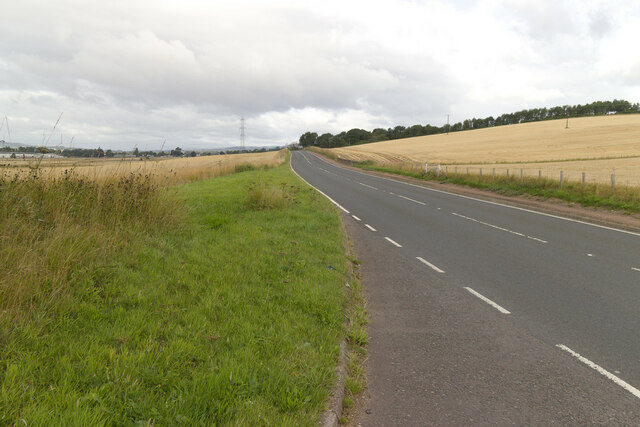
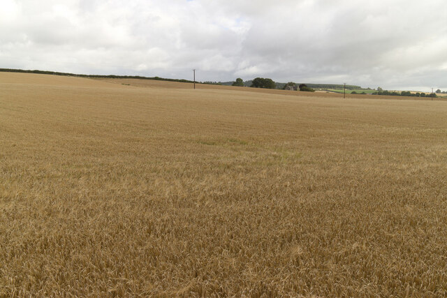
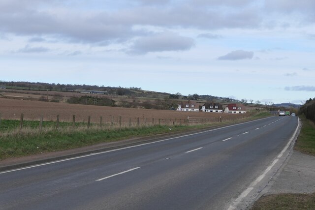
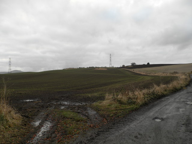
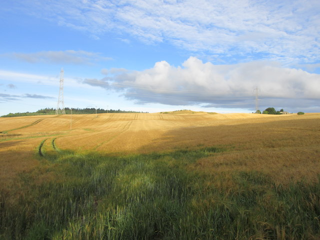
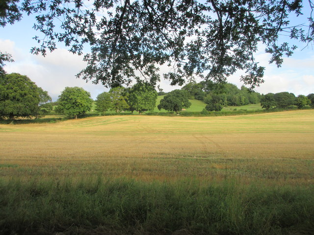
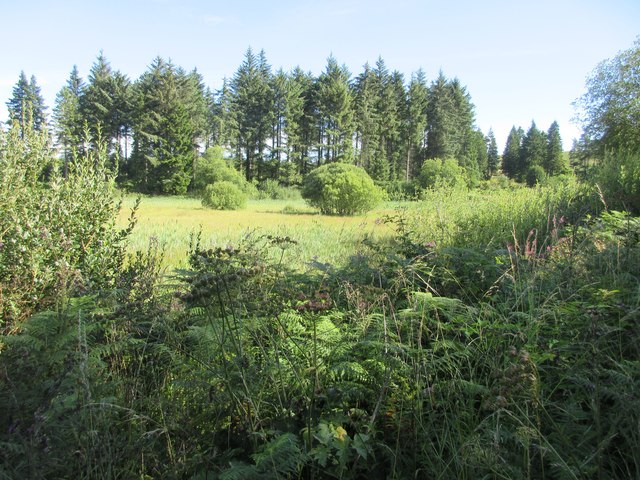
Weddersbie Hill, located in Fife, Scotland, is a prominent hill that stands at an elevation of 168 meters (551 feet) above sea level. Situated near the village of Largoward, the hill forms part of the picturesque Largo Law and the surrounding countryside. Weddersbie Hill is a popular destination for hikers and outdoor enthusiasts, offering breathtaking views of the surrounding landscapes.

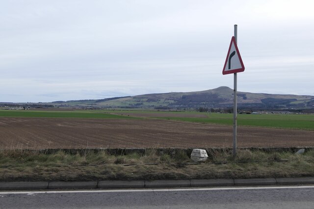
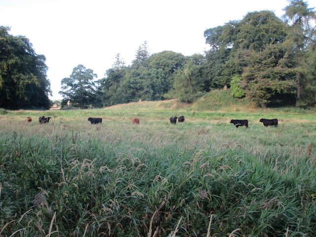
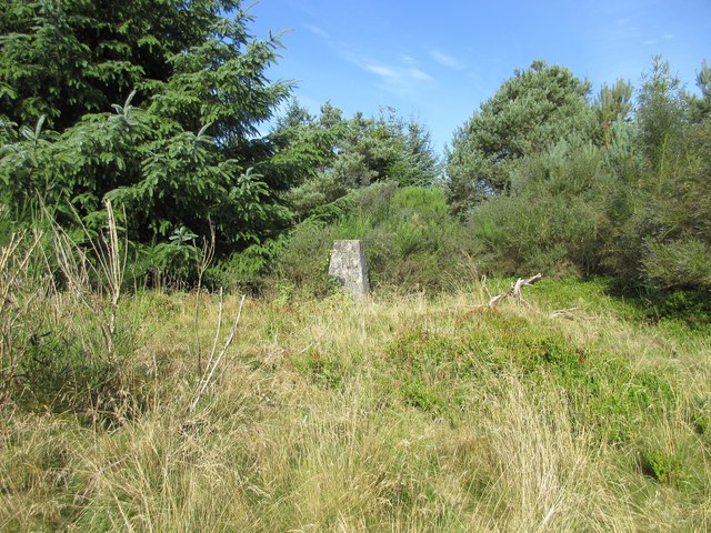
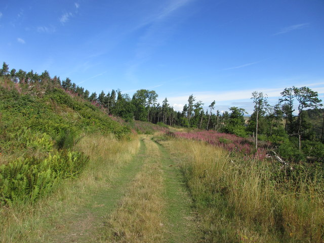
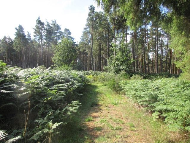
The hill is characterized by its gentle slopes, covered in a mix of grass, heather, and scattered shrubs. The terrain is relatively easy to navigate, making it suitable for individuals of varying fitness levels. As visitors ascend the hill, they are rewarded with panoramic vistas of the undulating Fife countryside, including glimpses of the nearby Largo Bay and the Firth of Forth. On a clear day, it is even possible to see as far as the Edinburgh skyline in the distance.

Wildlife is abundant on Weddersbie Hill, with sightings of various bird species, including skylarks and kestrels, being common. The area is also home to several mammal species, such as rabbits and deer, which can often be spotted in the surrounding fields and woodlands.

Weddersbie Hill offers a tranquil and peaceful retreat, making it an ideal spot for relaxation and unwinding amidst nature. Whether it be for a leisurely walk, a picnic, or simply enjoying the stunning views, this hill in Fife provides visitors with a memorable outdoor experience.

If you have any feedback on the listing, please let us know in the comments section below.

Weddersbie Hill Images

Images are sourced within 2km of 56.310139/-3.2076386 or Grid Reference NO2513. Thanks to Geograph Open Source API. All images are credited.

A91 Cupar Road
A91 Cupar Road
Field near Rossie
Field near Rossie
Remains of  Pitcairlie Toll House Hidden from the B936, but visible from the side road.  Close to the Fife / Perth boundary. Originally served the Pitcairley Turnpike Trust.

Milestone Society National ID: FF.PIT
Remains of Pitcairlie Toll House
Hidden from the B936, but visible from the side road. Close to the Fife / Perth boundary. Originally served the Pitcairley Turnpike Trust. Milestone Society National ID: FF.PIT
Benchmark, Rossieden Cottage, Auchtermuchty Ordnance Survey benchmark, described on database at <span class="nowrap"><a title="https://www.bench-marks.org.uk/bm44695" rel="nofollow ugc noopener" href="https://www.bench-marks.org.uk/bm44695">Link</a><img style="margin-left:2px;" alt="External link" title="External link - shift click to open in new window" src="https://s1.geograph.org.uk/img/external.png" width="10" height="10"/></span>. For context photo, see: <a href="https://www.geograph.org.uk/photo/7429948">NO2411 : Rossieden Cottage, Auchtermuchty</a>
Benchmark, Rossieden Cottage, Auchtermuchty
Ordnance Survey benchmark, described on database at LinkExternal link. For context photo, see: NO2411 : Rossieden Cottage, Auchtermuchty
Rosslem Cottages on A91
Milestone on A91 near Auchtermuchty To Kinross 11; To Cupar 8
Milestone on A91 near Auchtermuchty
To Kinross 11; To Cupar 8
Rossieden Cottage, Auchtermuchty There is an Ordnance Survey benchmark on this cottage. For photo, see: <a href="https://www.geograph.org.uk/photo/7429901">NO2411 : Benchmark, Rossieden Cottage, Auchtermuchty</a>
Rossieden Cottage, Auchtermuchty
There is an Ordnance Survey benchmark on this cottage. For photo, see: NO2411 : Benchmark, Rossieden Cottage, Auchtermuchty
A91 east of Auchtermuchty
Track to Easter Colzie
Ploughed field at Easter Colzie
Goldenloch, by Lindores, Fife Goldenloch, also referred to as The Golden Loch, is a fishery nestled near Abdie and Dunbog, by Lindores.
Goldenloch, by Lindores, Fife
Goldenloch, also referred to as The Golden Loch, is a fishery nestled near Abdie and Dunbog, by Lindores.
Field at Colzie Barley field near Easter Colzie.
Field at Colzie
Barley field near Easter Colzie.
Field near Pitcairlie Field on the lower slope of Gowk Hill, south of Pitcairlie.
Field near Pitcairlie
Field on the lower slope of Gowk Hill, south of Pitcairlie.
Cattle at Pitcairlie Horned cattle near the roadside at Pitcairlie.
Cattle at Pitcairlie
Horned cattle near the roadside at Pitcairlie.
Trig Pillar, Woodhead Hill The triangulation pillar on Woodhead Hill or Grange Hill, viewed from a clearing to the east.
Trig Pillar, Woodhead Hill
The triangulation pillar on Woodhead Hill or Grange Hill, viewed from a clearing to the east.
Track on east side of Woodhead Hill Track heading through a cleared section of woodland on the east side of Woodhead Hill.
Track on east side of Woodhead Hill
Track heading through a cleared section of woodland on the east side of Woodhead Hill.
Woodland path The track headed through the forest between Woodhead and Weddersbie Hills.
Woodland path
The track headed through the forest between Woodhead and Weddersbie Hills.
Red Myre The reed covered bogland of Red Myre.
Red Myre
The reed covered bogland of Red Myre.
Show me another place!

Weddersbie Hill is located at Grid Ref: NO2513 (Lat: 56.310139, Lng: -3.2076386)

Unitary Authority: Fife

Police Authority: Fife

What 3 Words

///outdoor.templates.revolting. Near Auchtermuchty, Fife

Nearby Locations

Red Myre Weddersbie Hill

Related Wikis

Auchtermuchty Town House

Auchtermuchty Town House is a municipal structure in the High Street, Auchtermuchty, Fife, Scotland. The structure, which accommodates the local public...

Auchtermuchty railway station

Auchtermuchty railway station served the village of Auchtermuchty, in Fife, Scotland. == History == Opened by the Fife and Kinross Railway, it became part...

Auchtermuchty

Auchtermuchty ( ; Scottish Gaelic: Uachdar Mucadaidh, 'upland of the pigs/boar') is a town in Fife, Scotland. It is beside Pitlour Hill and 9 miles (14...

Lindores (E&NR) railway station

Lindores (E&NR) railway station was a temporary terminus that served the village of Lindores, Fife, Scotland in 1847 on the Edinburgh and Northern Railway...

Abdie stone

The Abdie stone is a Class I Pictish stone that stands in Abdie Churchyard, Lindores, Fife, Scotland. == Location == The stone originally stood on the...

Abdie

Abdie is a parish in north-west Fife, Scotland, lying on the south shore of the Firth of Tay on the eastern outskirts of Newburgh, extending about 3 miles...

Lindores Loch

Lindores Loch is a freshwater loch, situated in North Fife in the Parish of Abdie, in the Central Belt of Scotland. The Loch has for many years been used...

Cairnie Hill

Cairnie Hill lies at the eastern end of the Ochil Hills, above the village of Collessie Scotland. It is the highest point of a small upland area between...

Nearby Amenities

Located within 500m of 56.310139,-3.2076386
Power: pole
Lat/Long: 56.308384/-3.200334
Power: pole
Lat/Long: 56.3078856/-3.2014686
Power: pole
Lat/Long: 56.3074079/-3.2025844
Power: pole
Lat/Long: 56.3068232/-3.2038477
Power: pole
Lat/Long: 56.3062756/-3.2051298
Power: pole
Lat/Long: 56.3057548/-3.2062778
Power: pole
Lat/Long: 56.3057935/-3.2075518
Power: pole
Lat/Long: 56.3058367/-3.2088742
The data included in this document is from www.openstreetmap.org. The data is made available under ODbL.

Have you been to Weddersbie Hill?

Leave your review of Weddersbie Hill below (or comments, questions and feedback).