Scarbarrow Hill
Hill, Mountain in Lancashire South Lakeland
England
Scarbarrow Hill
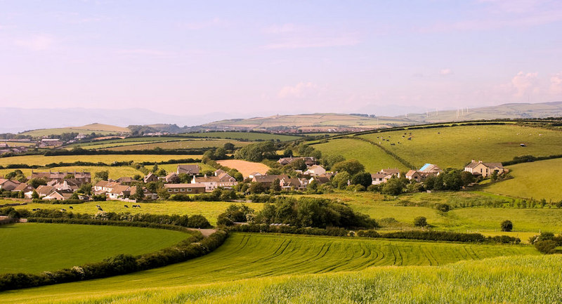
Scarbarrow Hill is a prominent geographical feature located in the county of Lancashire, England. Rising to an elevation of approximately 305 meters (1,000 feet), it is classified as a hill rather than a mountain. Situated in the picturesque Forest of Bowland, Scarbarrow Hill offers stunning panoramic views of the surrounding countryside.
Covered in a lush carpet of green vegetation, the hill is predominantly made up of gritstone, which gives it a rugged and distinctive appearance. Its slopes are adorned with a diverse array of flora and fauna, providing a habitat for various species of plants and animals. It is particularly renowned for its rich birdlife, attracting birdwatchers from near and far.
Scarbarrow Hill is a popular destination for outdoor enthusiasts and nature lovers. Its network of footpaths and trails offers ample opportunities for walking, hiking, and cycling. The hill provides a challenging terrain for those seeking an adventurous climb, while also catering to those who prefer a more leisurely stroll. At the summit, visitors are rewarded with breathtaking views of the surrounding Lancashire countryside, including the River Ribble and the rolling hills of the Forest of Bowland.
With its tranquil and unspoiled landscape, Scarbarrow Hill offers a serene escape from the hustle and bustle of everyday life. Whether one seeks solitude, a connection with nature, or simply a chance to appreciate the beauty of Lancashire's countryside, Scarbarrow Hill is a place that never fails to leave a lasting impression.
If you have any feedback on the listing, please let us know in the comments section below.
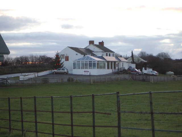
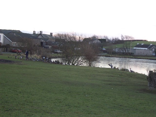
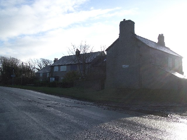
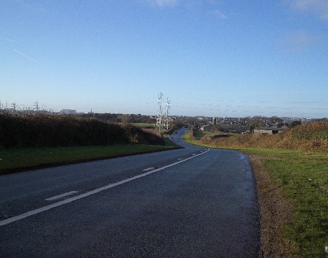
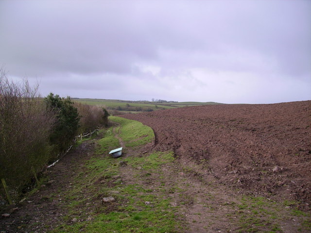
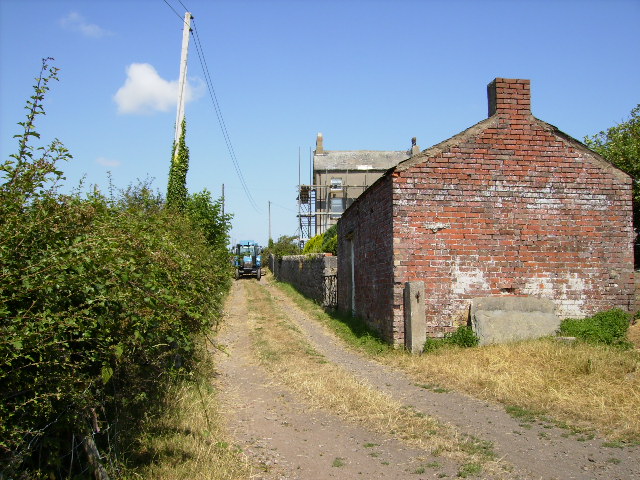
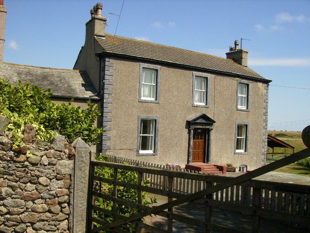
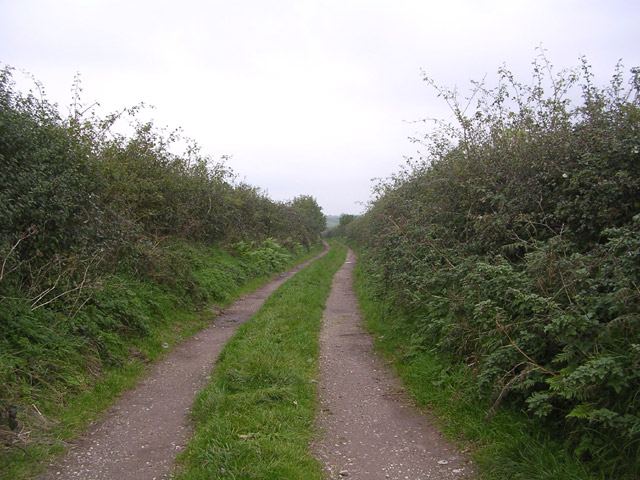
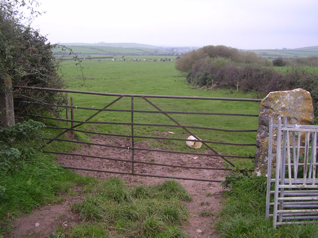
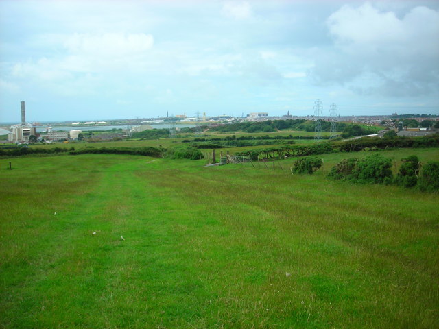
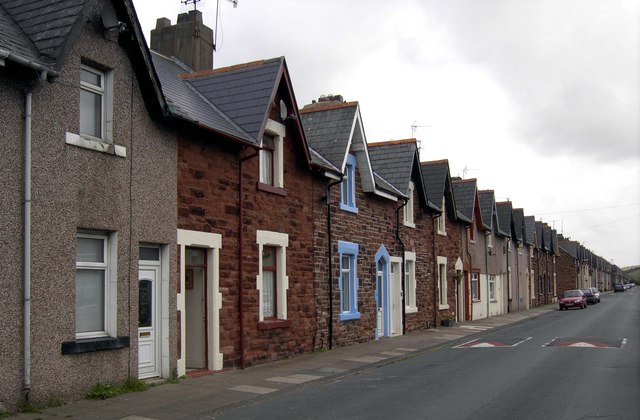
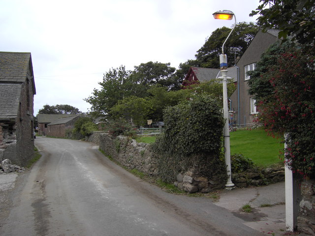
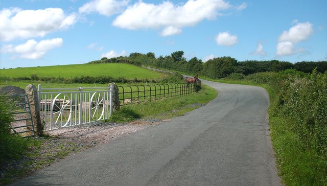
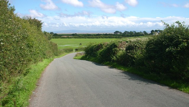
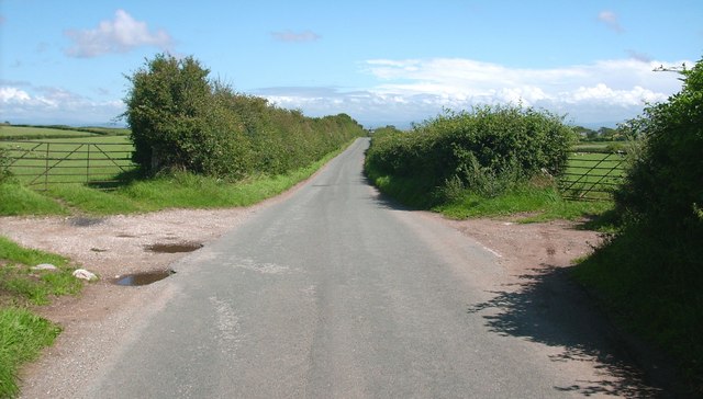
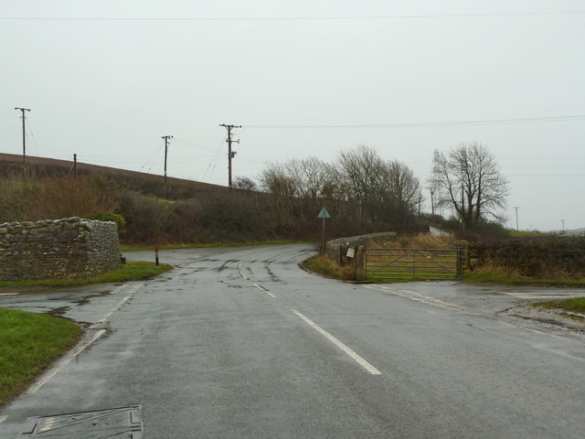
Scarbarrow Hill Images
Images are sourced within 2km of 54.118877/-3.1622858 or Grid Reference SD2469. Thanks to Geograph Open Source API. All images are credited.


Scarbarrow Hill is located at Grid Ref: SD2469 (Lat: 54.118877, Lng: -3.1622858)
Administrative County: Cumbria
District: South Lakeland
Police Authority: Cumbria
What 3 Words
///bonnet.tram.products. Near Barrow in Furness, Cumbria
Nearby Locations
Related Wikis

Leece
Leece is a village on the Furness peninsula in Cumbria, England, between the towns of Ulverston and Barrow-in-Furness. == Amenities == The village is built...
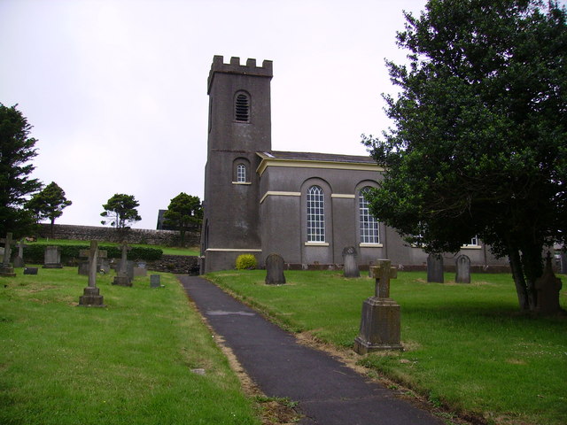
Dendron, Cumbria
Dendron is a small village in South Cumbria, England. It is situated around three miles from the town of Barrow-in-Furness. The village was once just a...

Barrow and Furness (UK Parliament constituency)
Barrow and Furness, formerly known as Barrow-in-Furness, is a constituency in Cumbria which has been represented in the House of Commons of the UK Parliament...

Gleaston
Gleaston is a village with a population of around 400 in the Furness area of South Cumbria, situated between the towns of Barrow-in-Furness, Dalton-in...
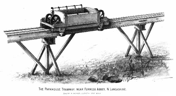
Yarlside Iron Mines tramway
The Yarlside Iron Mines tramway or Parkhouse Mineral Railway was built as a one-mile (1.6 km) long innovative railway from the Parkhouse Haematite Ore...
Newton-in-Furness
Newton is a village in the civil parish of Dalton Town with Newton, in the Westmorland and Furness district, in the ceremonial county of Cumbria, England...
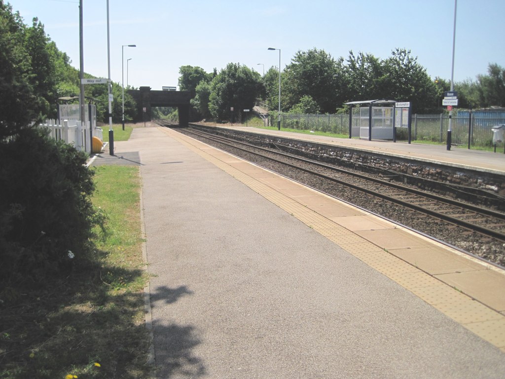
Roose railway station
Roose is a railway station on the Furness Line, which runs between Barrow-in-Furness and Lancaster. The station, situated 1+3⁄4 miles (3 km) east of Barrow...

Roosecote Power Station
Roosecote Power Station was a gas-fired, originally coal-fired power station, situated in the Roosecote district of Barrow-in-Furness in Cumbria, North...
Nearby Amenities
Located within 500m of 54.118877,-3.1622858Have you been to Scarbarrow Hill?
Leave your review of Scarbarrow Hill below (or comments, questions and feedback).