Leece Tarn
Lake, Pool, Pond, Freshwater Marsh in Lancashire South Lakeland
England
Leece Tarn
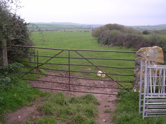
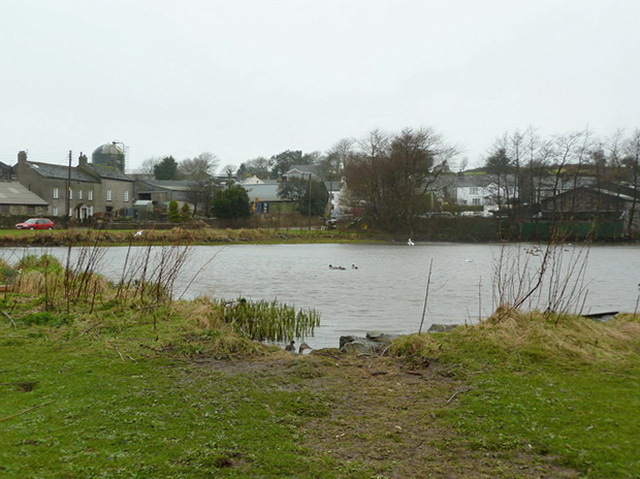
Leece Tarn is a picturesque freshwater lake located in the county of Lancashire, England. Nestled amidst the tranquil countryside, this natural gem is often referred to as a tarn, which is a term commonly used to describe a small mountain lake or pool.
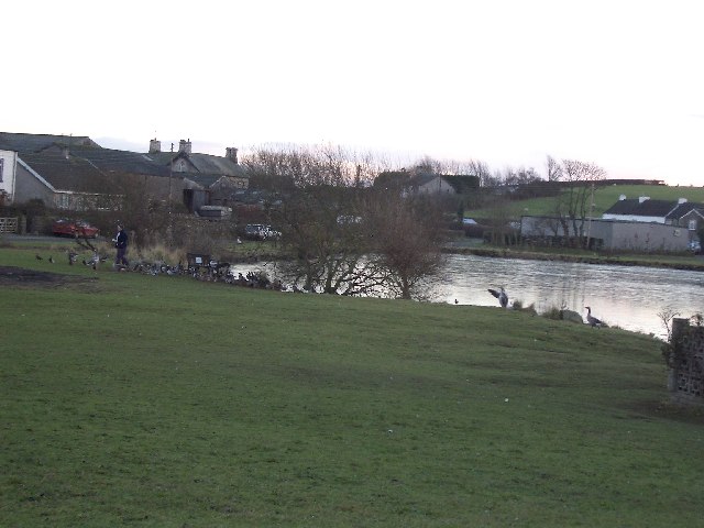
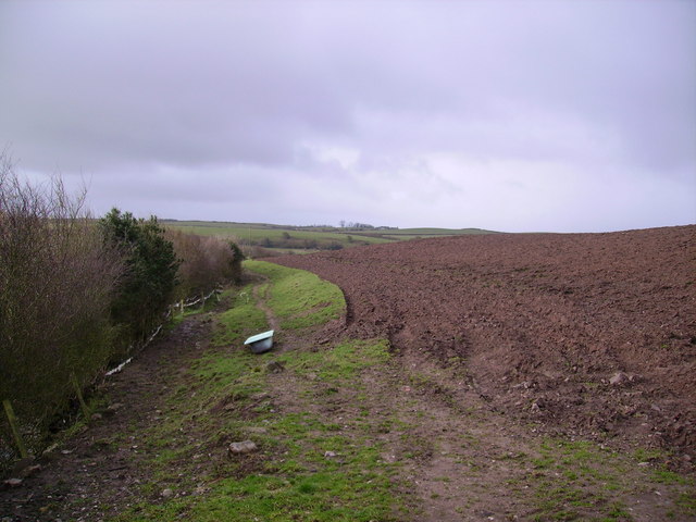
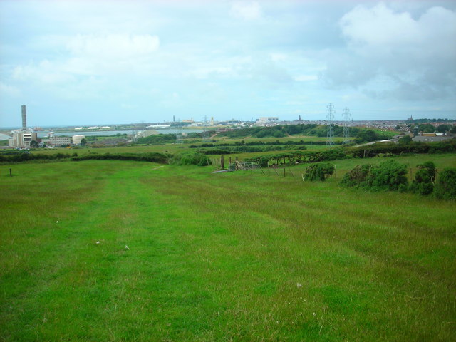
Covering an area of approximately 15 acres, Leece Tarn boasts crystal clear waters that reflect the surrounding landscape. It is situated within the Low Furness area, near the village of Leece, and is surrounded by lush green meadows and rolling hills. The tarn is fed by natural springs and small streams, ensuring a constant flow of fresh water.
The diverse ecosystem of Leece Tarn supports a variety of plant and animal species. The surrounding marshland is home to an array of reeds, sedges, and water-loving plants, providing a haven for numerous bird species, including mallards, coots, and moorhens. In addition, the tarn attracts a range of insect life, making it a popular destination for nature enthusiasts and birdwatchers alike.
The tranquil setting of Leece Tarn makes it an ideal spot for peaceful walks, picnics, and fishing. Anglers can enjoy casting their lines in search of perch, roach, and tench, among other fish species that inhabit the lake.
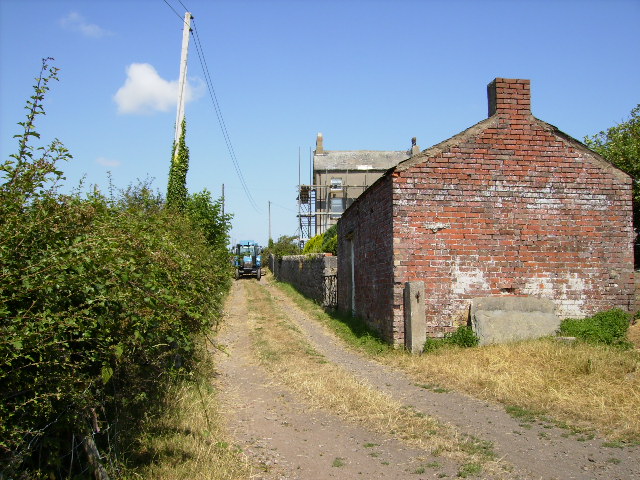
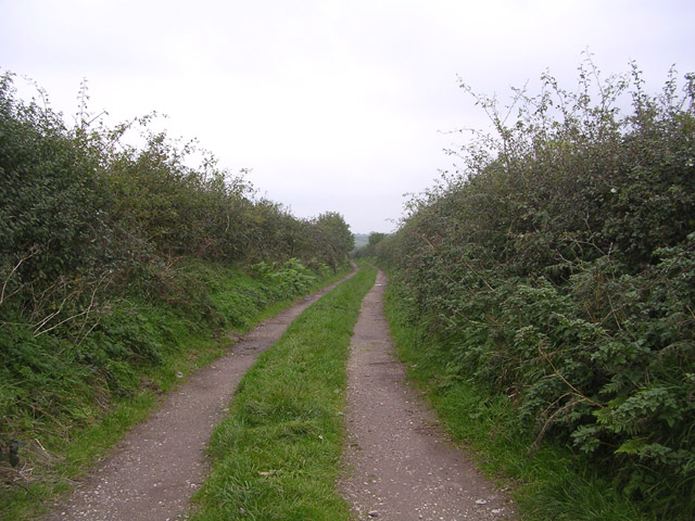
Access to Leece Tarn is provided via a footpath that leads from the nearby village, offering visitors a chance to appreciate the beauty of the surrounding countryside. Whether it's birdwatching, fishing, or simply enjoying the serenity of the natural environment, Leece Tarn is a hidden gem that offers a peaceful retreat for those seeking to connect with nature.
If you have any feedback on the listing, please let us know in the comments section below.
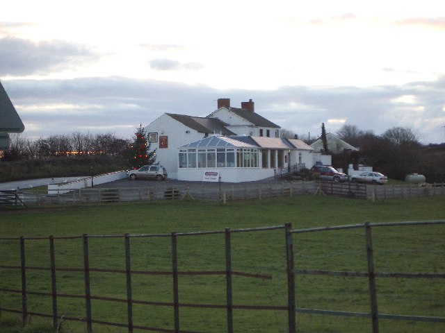
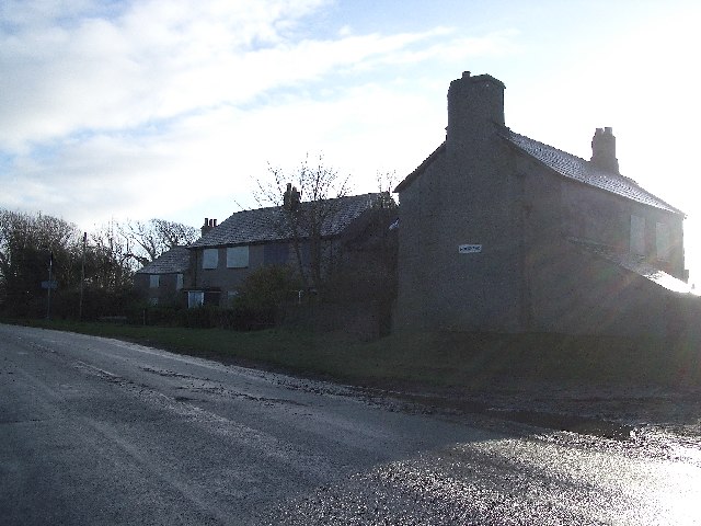
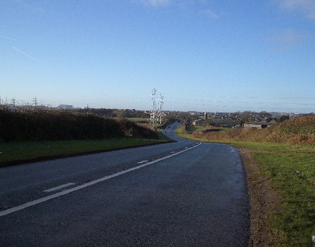
Leece Tarn Images
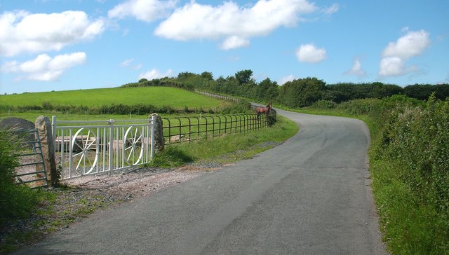
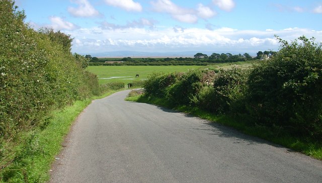
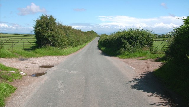
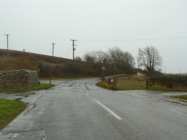
Images are sourced within 2km of 54.114666/-3.1580986 or Grid Reference SD2469. Thanks to Geograph Open Source API. All images are credited.
Leece Tarn is located at Grid Ref: SD2469 (Lat: 54.114666, Lng: -3.1580986)
Administrative County: Cumbria
District: South Lakeland
Police Authority: Cumbria
What 3 Words
///bathtubs.tolls.airship. Near Barrow in Furness, Cumbria
Nearby Locations
Related Wikis

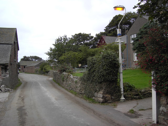
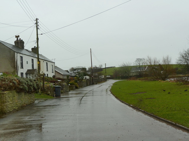
Leece
Leece is a village on the Furness peninsula in Cumbria, England, between the towns of Ulverston and Barrow-in-Furness. == Amenities == The village is built...
Dendron, Cumbria
Dendron is a small village in South Cumbria, England. It is situated around three miles from the town of Barrow-in-Furness. The village was once just a...

Barrow and Furness (UK Parliament constituency)
Barrow and Furness, formerly known as Barrow-in-Furness, is a constituency in Cumbria which has been represented in the House of Commons of the UK Parliament...

Gleaston
Gleaston is a village with a population of around 400 in the Furness area of South Cumbria, situated between the towns of Barrow-in-Furness, Dalton-in...
Nearby Amenities
Located within 500m of 54.114666,-3.1580986Have you been to Leece Tarn?
Leave your review of Leece Tarn below (or comments, questions and feedback).