Leece

Settlement in Lancashire South Lakeland

England

Leece

Copper Dog, Leece This picture was taken from the road on the way into Leece from Gleaston (ie, the side of the building, not the front!)
Copper Dog, Leece Credit: Lee Coward

Leece is a small village located in Lancashire, England. It is situated near the town of Ulverston and lies within the South Lakeland district. The village is known for its picturesque surroundings, with rolling green hills and lush countryside.

Leece has a population of around 300 residents and is a close-knit community with a strong sense of community spirit. The village has a few amenities including a local pub, a village hall, and a small primary school.

The village is surrounded by beautiful countryside, making it a popular destination for hikers and nature lovers. The nearby Lake District National Park offers plenty of opportunities for outdoor activities such as hiking, cycling, and boating.

Leece is conveniently located near the A590 road, providing easy access to neighboring towns and cities such as Barrow-in-Furness and Kendal. The village is also well-connected by public transportation, with regular bus services running to nearby towns.

Overall, Leece is a charming village with a peaceful atmosphere, making it an ideal place for those looking to escape the hustle and bustle of city life.

If you have any feedback on the listing, please let us know in the comments section below.
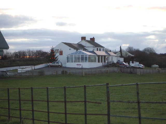
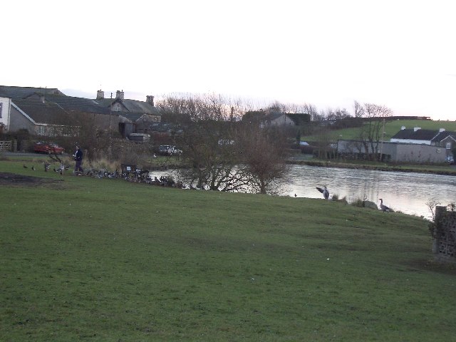
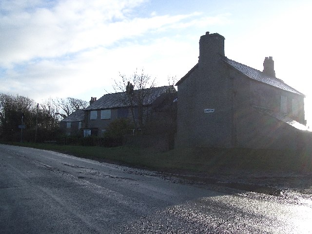
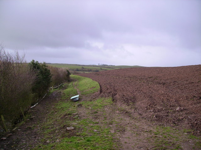
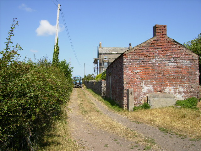
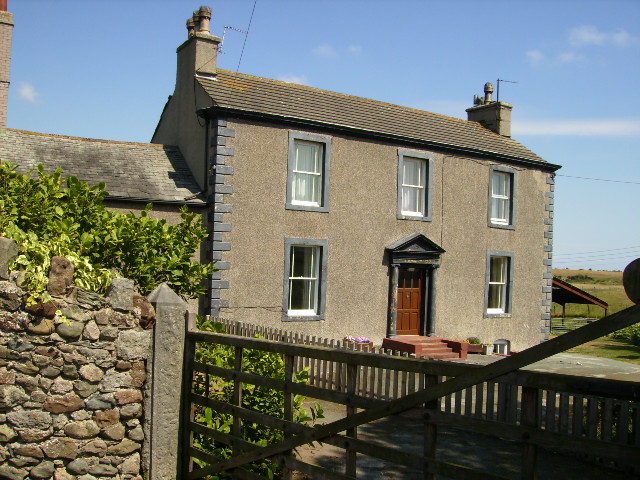
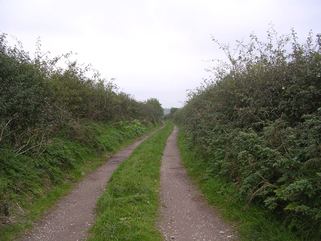
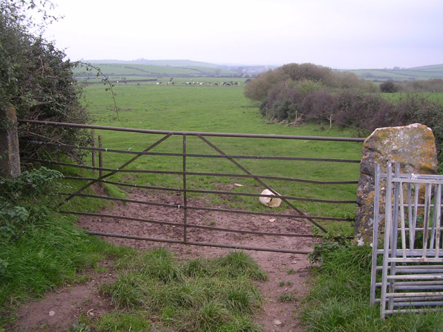
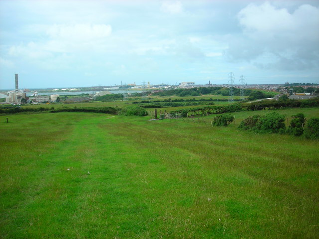
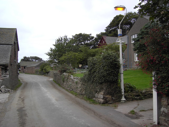
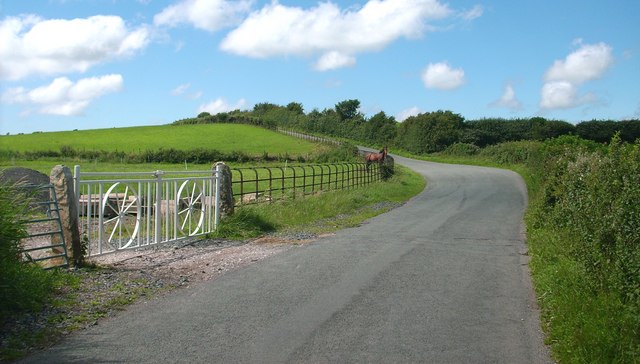
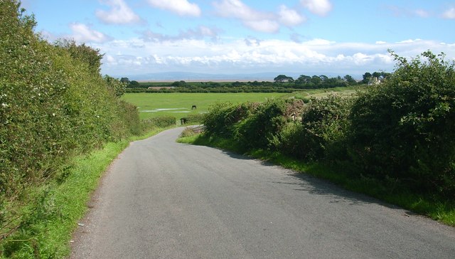
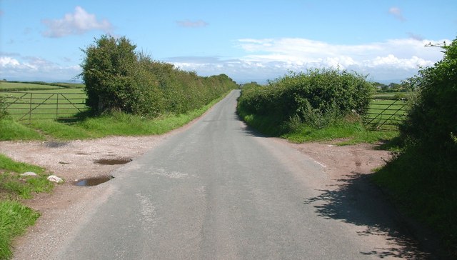
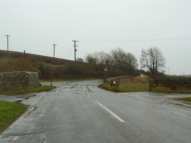
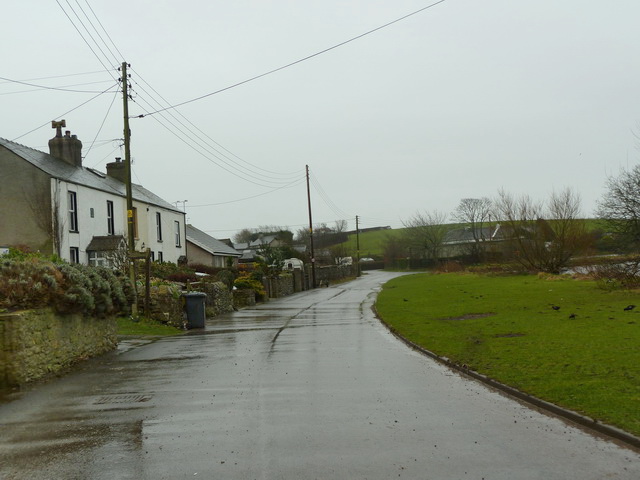
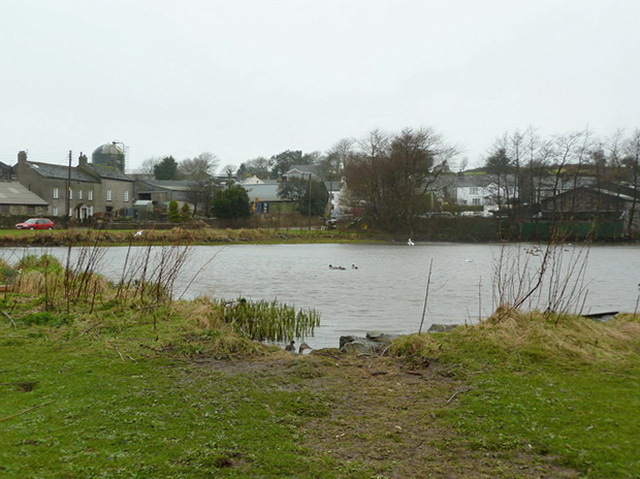
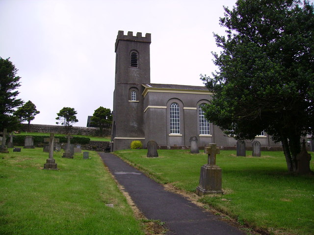
Leece Images

Images are sourced within 2km of 54.115367/-3.156048 or Grid Reference SD2469. Thanks to Geograph Open Source API. All images are credited.

Copper Dog, Leece This picture was taken from the road on the way into Leece from Gleaston (ie, the side of the building, not the front!)
Copper Dog, Leece
This picture was taken from the road on the way into Leece from Gleaston (ie, the side of the building, not the front!)
Leece Tarn The lady in the photograph has just finished feeding the ducks and geese.
Leece Tarn
The lady in the photograph has just finished feeding the ducks and geese.
Moorhead Cottages These cottages are located on the A5087 just after Roosecote. The cottages now appear to be derelict as the windows are boarded up.
Moorhead Cottages
These cottages are located on the A5087 just after Roosecote. The cottages now appear to be derelict as the windows are boarded up.
Bath and Ploughed Field Handy to have a bath on site its muddy work ploughing a field
Bath and Ploughed Field
Handy to have a bath on site its muddy work ploughing a field
Moss House This farm lies on The Cistercian Way long distance footpath.
Moss House
This farm lies on The Cistercian Way long distance footpath.
Moss Side
Moss Side
Track with no name Looking north up track off the minor road linking Leece and Point of Comfort
Track with no name
Looking north up track off the minor road linking Leece and Point of Comfort
Gateway to fields near Leece Looking northwards
Gateway to fields near Leece
Looking northwards
Sheep pasture near Roosecote Looking west over Barrow, with the Devonshire Dock Hall and the tower of the Town Hall on the horizon.
Sheep pasture near Roosecote
Looking west over Barrow, with the Devonshire Dock Hall and the tower of the Town Hall on the horizon.
Roosecote Housing at Roosecote.
Roosecote
Housing at Roosecote.
Country Lane
Country Lane
Country Lane The sands of Morecambe Bay can be seen in the distance.
Country Lane
The sands of Morecambe Bay can be seen in the distance.
Country Lane
Country Lane
Road junction at Old Holbeck, Barrow-in-Furness
Road east side of Leece Tarn, Leece
Leece Tarn
Leece Tarn
Leece Village Green
Leece Village Green
Show me another place!

Leece is located at Grid Ref: SD2469 (Lat: 54.115367, Lng: -3.156048)

Administrative County: Cumbria

District: South Lakeland

Police Authority: Cumbria

What 3 Words

///ideal.grinders.vouch. Near Barrow in Furness, Cumbria

Related Wikis

Leece

Leece is a village on the Furness peninsula in Cumbria, England, between the towns of Ulverston and Barrow-in-Furness. == Amenities == The village is built...

Dendron, Cumbria

Dendron is a small village in South Cumbria, England. It is situated around three miles from the town of Barrow-in-Furness. The village was once just a...

Barrow and Furness (UK Parliament constituency)

Barrow and Furness, formerly known as Barrow-in-Furness, is a constituency in Cumbria which has been represented in the House of Commons of the UK Parliament...

Gleaston

Gleaston is a village with a population of around 400 in the Furness area of South Cumbria, situated between the towns of Barrow-in-Furness, Dalton-in...

Nearby Amenities

Located within 500m of 54.115367,-3.156048
Village Hall (N bound)
Naptan AtcoCode: 090010024312
Naptan Bearing: N
Naptan BusStopType: CUS
Naptan CommonName: Village Hall (N bound)
Naptan Indicator: o/s
Naptan Landmark: Ashmount Cottage
Naptan NaptanCode: cumdtdgm
Naptan Street: Hard Knotts Lane
Naptan Verified: no
Source: naptan_import
Lat/Long: 54.1155557/-3.1582454
Bus Stop
Village Hall (S bound)
Bus: yes
Local Ref: AT
Naptan AtcoCode: 090079011181
Naptan Bearing: S
Naptan BusStopType: CUS
Naptan CommonName: Village Hall (S bound)
Naptan Indicator: at
Naptan Landmark: Leece Tarn
Naptan NaptanCode: cumdgmgj
Naptan Street: Hard Knotts Lane
Naptan Verified: no
Public Transport: platform
Source: naptan_import
Lat/Long: 54.1155073/-3.1581749
Bench
Backrest: yes
Lat/Long: 54.1143427/-3.1584502
Bench
Lat/Long: 54.1142782/-3.1577622
Telephone
Booth: KX100
Covered: booth
Note: also being used a book exchange, but there is still a phone inside
Lat/Long: 54.1154819/-3.1581548
Waste Basket
Lat/Long: 54.1154581/-3.1581304
Post Box
Post Box Type: lamp
Ref: LA12 14
Royal Cypher: EIIR
Royal Cypher Wikidata: Q33102113
Lat/Long: 54.1154485/-3.1581833
Power: pole
Lat/Long: 54.1165967/-3.1622923
Power: pole
Lat/Long: 54.1166225/-3.1611202
Power: pole
Lat/Long: 54.1166702/-3.159086
Power: pole
Lat/Long: 54.116696/-3.158191
Power: pole
Lat/Long: 54.1174809/-3.1573223
Power: pole
Lat/Long: 54.1183522/-3.1563745
Power: pole
Lat/Long: 54.1191617/-3.1564273
The data included in this document is from www.openstreetmap.org. The data is made available under ODbL.

Have you been to Leece?

Leave your review of Leece below (or comments, questions and feedback).